West Wong Plantation

Wood, Forest in Lincolnshire South Kesteven

England

West Wong Plantation

Holy Trinity church, Allington From the south east.
Holy Trinity church, Allington Credit: Julian P Guffogg

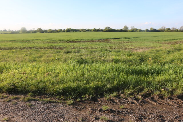
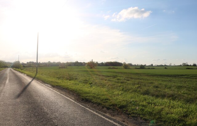
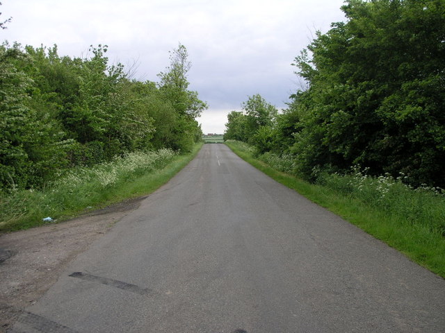
West Wong Plantation is a picturesque woodland area located in Lincolnshire, specifically in the region of Wood and Forest. Spanning over a vast expanse, it is renowned for its natural beauty, diverse wildlife, and rich historical significance.

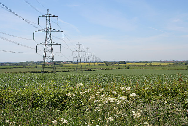
The plantation is characterized by its dense canopy of trees, predominantly consisting of oak, beech, and birch. The lush greenery creates a tranquil and enchanting atmosphere, making it a popular destination for nature enthusiasts and hikers. The vibrant undergrowth is adorned with various wildflowers, adding bursts of color to the landscape.

This woodland haven serves as a sanctuary for a wide array of wildlife species. The plantation is home to numerous bird species, including woodpeckers, owls, and various songbirds. Additionally, small mammals like rabbits, foxes, and squirrels can be spotted among the trees, while elusive deer roam the forest floor.

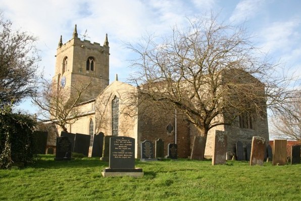
In addition to its natural beauty, West Wong Plantation holds historical significance. Dating back centuries, it was once part of a larger estate that belonged to a prominent family in the area. The remnants of an old manor house can still be seen within the woodland, offering visitors a glimpse into the region's past.

West Wong Plantation offers visitors the opportunity to escape the hustle and bustle of urban life and immerse themselves in the tranquility of nature. Whether it be for a leisurely stroll, birdwatching, or simply enjoying the serene surroundings, this woodland retreat is a true gem in Lincolnshire's Wood and Forest region.

If you have any feedback on the listing, please let us know in the comments section below.

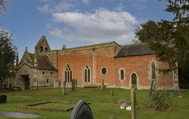
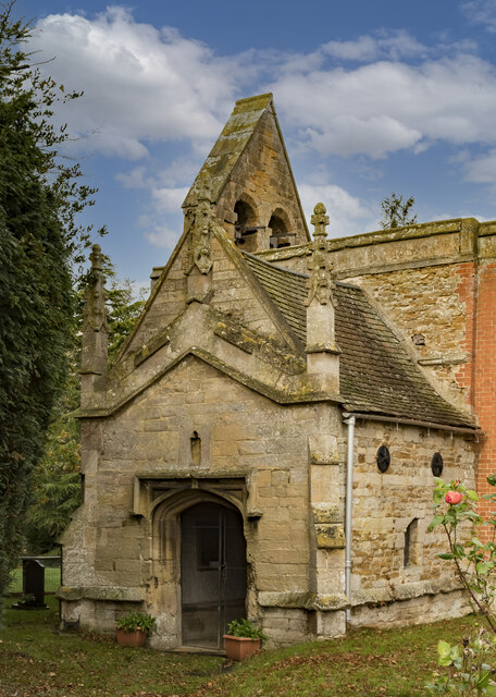
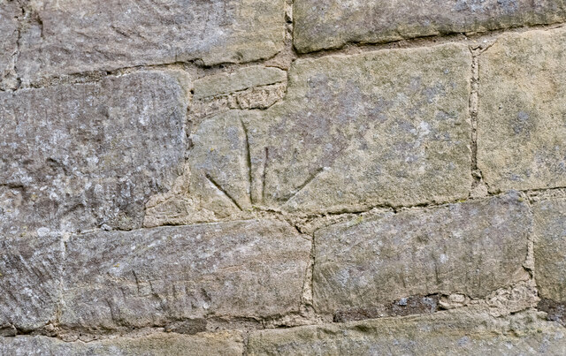
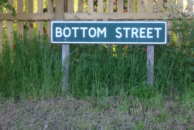
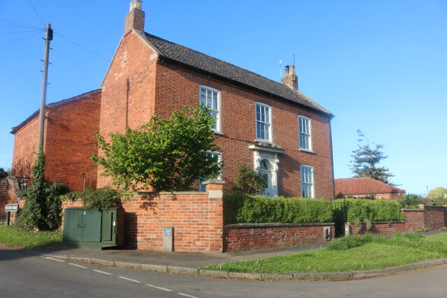
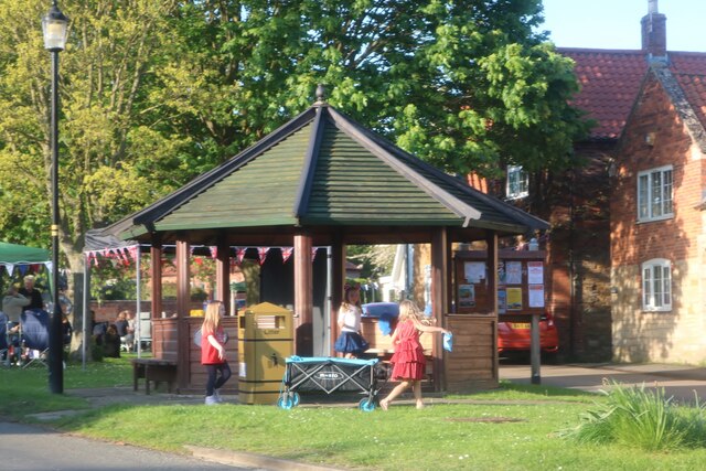
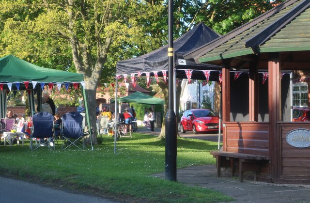
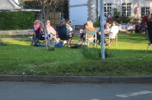
West Wong Plantation Images

Images are sourced within 2km of 52.952811/-0.73590796 or Grid Reference SK8540. Thanks to Geograph Open Source API. All images are credited.

Holy Trinity church, Allington From the south east.
Holy Trinity church, Allington
From the south east.
South Porch, Holy Trinity church, Allington The porch is located at the west end.
South Porch, Holy Trinity church, Allington
The porch is located at the west end.
Reset Mass dial, Holy Trinity church, Allington The stone was inverted.
Reset Mass dial, Holy Trinity church, Allington
The stone was inverted.
Sign for Bottom Street, Allington Well I thought it was funny.
Sign for Bottom Street, Allington
Well I thought it was funny.
Bottom Street, Allington
House on The Green, Allington
Coronation party on The Green, Allington
Field by Gonerby Lane, Allington
Gonerby Lane, Allington
The Village Green, Allington
Holy Trinity church, West Allington, Lincs. A patchwork of medieval stone and 18th century brick, Holy Trinity has a Norman south doorway and a north arcade of c1200 and all sorts of stonework said to have come from the demolished church of East Allington. A fascinating archaeological conundrum.
Holy Trinity church, West Allington, Lincs.
A patchwork of medieval stone and 18th century brick, Holy Trinity has a Norman south doorway and a north arcade of c1200 and all sorts of stonework said to have come from the demolished church of East Allington. A fascinating archaeological conundrum.
Trees and Road This view looking south looks straight over the village of Allington and beyond.
Trees and Road
This view looking south looks straight over the village of Allington and beyond.
Cowlady Lane, Allington This is a public right of way leading to the Viking Way long distance footpath. Off Bottesford Road and adjacent to the Old Vicarage.
Cowlady Lane, Allington
This is a public right of way leading to the Viking Way long distance footpath. Off Bottesford Road and adjacent to the Old Vicarage.
Miles of pylons Looking north west from Bottesford Road. The square boundary is just beyond the fourth pylon. This electricity supply line comes from Cottam Power Station in <a href="https://www.geograph.org.uk/gridref/SK8179">SK8179</a>, one of the many power stations along the River Trent ( <span class="nowrap"><a title="http://www.edfenergy.com/html/showPage.do?name=edfenergy.about.energy.cottam.til" rel="nofollow ugc noopener" href="http://www.edfenergy.com/html/showPage.do?name=edfenergy.about.energy.cottam.til">Link</a><img style="margin-left:2px;" alt="External link" title="External link - shift click to open in new window" src="https://s1.geograph.org.uk/img/external.png" width="10" height="10"/></span> for information).
Miles of pylons
Looking north west from Bottesford Road. The square boundary is just beyond the fourth pylon. This electricity supply line comes from Cottam Power Station in SK8179, one of the many power stations along the River Trent ( LinkExternal link for information).
Sewstern Lane near Allington This old drove road links the Newark region to Stamford and is thought to be one of the oldest routes for moving cattle in the country, see <span class="nowrap"><a title="http://archive.is/V6lz" rel="nofollow ugc noopener" href="http://archive.is/V6lz">Link</a><img style="margin-left:2px;" alt="External link" title="External link - shift click to open in new window" src="https://s1.geograph.org.uk/img/external.png" width="10" height="10"/></span> for more information. Thackson's Well Farm can be seen in the distance in <a href="https://www.geograph.org.uk/gridref/SK8341">SK8341</a>
Sewstern Lane near Allington
This old drove road links the Newark region to Stamford and is thought to be one of the oldest routes for moving cattle in the country, see LinkExternal link for more information. Thackson's Well Farm can be seen in the distance in SK8341
Gonerby Lane near Allington
Show me another place!

West Wong Plantation is located at Grid Ref: SK8540 (Lat: 52.952811, Lng: -0.73590796)

Administrative County: Lincolnshire

District: South Kesteven

Police Authority: Lincolnshire

What 3 Words

///fails.crypt.when. Near Bottesford, Leicestershire

Related Wikis

Allington, Lincolnshire

Allington is a village and civil parish in the South Kesteven district of Lincolnshire, England, 3 miles (5 km) north-west of Grantham. The 2001 census...

Debdale Meadow, Muston

Debdale Meadow, Muston is a 4.3-hectare (11-acre) biological Site of Special Scientific Interest north of Muston in Leicestershire.This traditionally managed...

Sedgebrook railway station

Sedgebrook railway station was on the Nottingham to Grantham line in the East Midlands of England. The station lay between Bottesford and Grantham. It...

Sedgebrook

Sedgebrook is an English village and civil parish in the South Kesteven district of Lincolnshire. It lies on the A52 road, 6 miles (9.7 km) west of Grantham...

Newbo Abbey

Newbo Abbey was a Premonstratensian house of canons regular in Lincolnshire, England, and was dedicated to the Assumption of Mary. == Pogrom == Newbo was...

Foston, Lincolnshire

Foston is a village and a civil parish in the South Kesteven district of Lincolnshire, England. The village is situated 5 miles (8 km) northwest of Grantham...

Muston, Leicestershire

Muston (pronounced Musson) is a village and former civil parish, now in the parish of Bottesford, in the Melton district, in north-east Leicestershire...

East Midlands

The East Midlands is one of nine official regions of England at the first level of ITL for statistical purposes. It comprises the eastern half of the area...

Nearby Amenities

Located within 500m of 52.952811,-0.73590796
Design: barrel
Line Attachment: suspension
Material: steel
Power: tower
Structure: lattice
Lat/Long: 52.9534921/-0.741965
Design: barrel
Line Attachment: anchor
Material: steel
Power: tower
Structure: lattice
Lat/Long: 52.9492783/-0.7381024
Design: barrel
Line Attachment: suspension
Material: steel
Power: tower
Structure: lattice
Lat/Long: 52.9513391/-0.7399914
Ele: 30
Lat/Long: 52.9505915/-0.7329103
Ele: 24.0000000
Lat/Long: 52.9532611/-0.7371375
Ele: 25.0000000
Lat/Long: 52.9531706/-0.7369658
Ele: 33.0000000
Lat/Long: 52.9522657/-0.7356569
Generator Method: photovoltaic
Generator Output Electricity: yes
Generator Source: solar
Generator Type: solar_photovoltaic_panel
Location: roof
Power: generator
Lat/Long: 52.95207/-0.7291734
Generator Method: photovoltaic
Generator Output Electricity: yes
Generator Source: solar
Generator Type: solar_photovoltaic_panel
Location: roof
Power: generator
Lat/Long: 52.9537991/-0.7296615
Generator Method: photovoltaic
Generator Output Electricity: yes
Generator Source: solar
Generator Type: solar_photovoltaic_panel
Location: roof
Power: generator
Lat/Long: 52.9521722/-0.7304098
The data included in this document is from www.openstreetmap.org. The data is made available under ODbL.

Have you been to West Wong Plantation?

Leave your review of West Wong Plantation below (or comments, questions and feedback).