Coston Vicarage Wood

Wood, Forest in Leicestershire Melton

England

Coston Vicarage Wood

Fields near Garthorpe A panoramic view of the fields, looking toward Waltham-on-the-Wolds (the transmitter tower in the middle <a href="https://www.geograph.org.uk/photo/7775797">SK8023 : Waltham transmitter tower</a> is taken from the same spot). 

17 images, each 6252 x 4164 pixels were merged into one image with Microsoft Image Composite Editor, yielding  an image 15649 x 3844 in cylindrical projection. Image <a href="https://www.geograph.org.uk/photo/7775827">SK8521 : Fields near Garthorpe</a> is presented in a similar form, in order to determine the best image form to create for the site's panoramic viewer.
Fields near Garthorpe Credit: Bob Harvey

Coston Vicarage Wood, located in Leicestershire, is a picturesque woodland area that spans over several acres. This tranquil and enchanting forest is known for its diverse ecosystem and rich biodiversity. It is situated near the village of Coston, which is about 12 miles east of Leicester city.

The wood features a mixture of deciduous and coniferous trees, creating a beautiful tapestry of colors throughout the year. Visitors can expect to see oak, beech, birch, and pine trees, among others. The dense canopy provides a shaded and cool atmosphere, making it an ideal escape from the summer heat.

The forest floor is covered in a carpet of vibrant wildflowers, ferns, and moss, which adds to the natural beauty of the wood. Additionally, the woodland is home to a variety of wildlife, including deer, badgers, foxes, and a plethora of bird species. Birdwatchers will be delighted to spot woodpeckers, owls, and various songbirds.

Coston Vicarage Wood offers several walking trails, allowing visitors to explore its natural wonders at their own pace. These pathways are well-maintained, making it accessible to individuals of all ages and abilities. The wood also provides ample opportunities for photography, nature study, and picnicking.

Overall, Coston Vicarage Wood is a hidden gem in Leicestershire, offering a peaceful and serene retreat for nature lovers and outdoor enthusiasts alike. Its unspoiled beauty and abundant wildlife make it a must-visit destination for those seeking a tranquil escape from the hustle and bustle of everyday life.

If you have any feedback on the listing, please let us know in the comments section below.

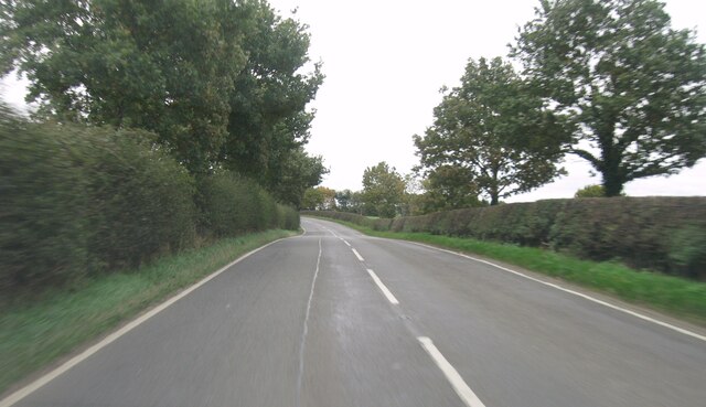
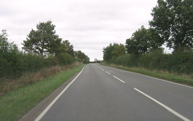
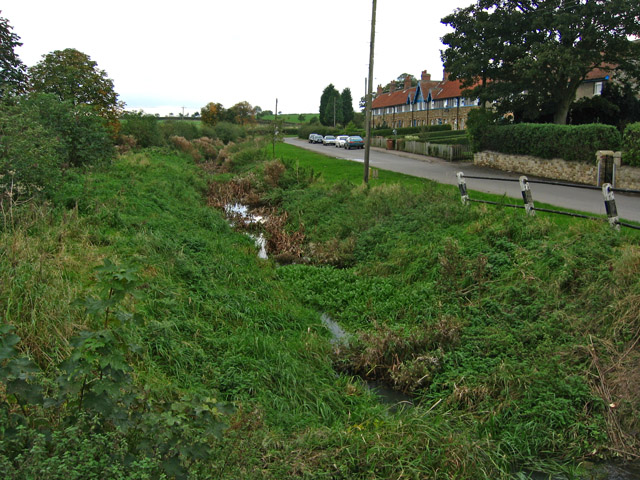
Coston Vicarage Wood Images

Images are sourced within 2km of 52.789759/-0.74178065 or Grid Reference SK8422. Thanks to Geograph Open Source API. All images are credited.

Fields near Garthorpe A panoramic view of the fields, looking toward Waltham-on-the-Wolds (the transmitter tower in the middle <a href="https://www.geograph.org.uk/photo/7775797">SK8023 : Waltham transmitter tower</a> is taken from the same spot). 

17 images, each 6252 x 4164 pixels were merged into one image with Microsoft Image Composite Editor, yielding  an image 15649 x 3844 in cylindrical projection. Image <a href="https://www.geograph.org.uk/photo/7775827">SK8521 : Fields near Garthorpe</a> is presented in a similar form, in order to determine the best image form to create for the site's panoramic viewer.
Fields near Garthorpe
A panoramic view of the fields, looking toward Waltham-on-the-Wolds (the transmitter tower in the middle SK8023 : Waltham transmitter tower is taken from the same spot). 17 images, each 6252 x 4164 pixels were merged into one image with Microsoft Image Composite Editor, yielding an image 15649 x 3844 in cylindrical projection. Image SK8521 : Fields near Garthorpe is presented in a similar form, in order to determine the best image form to create for the site's panoramic viewer.
Fields near Garthorpe A panoramic view of the fields, looking toward Waltham-on-the-Wolds (the transmitter tower in the middle <a href="https://www.geograph.org.uk/photo/7775797">SK8023 : Waltham transmitter tower</a> is taken from the same spot). 

17 images, each 6252 x 4164 pixels were merged into one image with Microsoft Image Composite Editor, yielding  an image 26687 x 4188 in perspective projection.  Image <a href="https://www.geograph.org.uk/photo/7775820">SK8521 : Fields near Garthorpe</a> is presented in a similar form, in order to determine the best image form to create for the site's panoramic viewer.
Fields near Garthorpe
A panoramic view of the fields, looking toward Waltham-on-the-Wolds (the transmitter tower in the middle SK8023 : Waltham transmitter tower is taken from the same spot). 17 images, each 6252 x 4164 pixels were merged into one image with Microsoft Image Composite Editor, yielding an image 26687 x 4188 in perspective projection. Image SK8521 : Fields near Garthorpe is presented in a similar form, in order to determine the best image form to create for the site's panoramic viewer.
Hawthorn in the landscape The high ground of Leicestershire is always quietly spectacular.  Here we are looking over the valley of the small Eye river, looking toward the northwest.
Hawthorn in the landscape
The high ground of Leicestershire is always quietly spectacular. Here we are looking over the valley of the small Eye river, looking toward the northwest.
B676 eastbound
B676 eastbound
B676 eastbound
B676 eastbound
B676 eastbound
B676 eastbound
Entrance to Coston
Entrance to Coston
B676 eastbound
B676 eastbound
B676 eastbound
B676 eastbound
B676 eastbound
B676 eastbound
B676 eastbound
B676 eastbound
B676 eastbound
B676 eastbound
B676 eastbound
B676 eastbound
B676 eastbound
B676 eastbound
Minor road and bridge near The Delph Looking northward. The River Eye flows beneath the bridge.
Minor road and bridge near The Delph
Looking northward. The River Eye flows beneath the bridge.
Grange Lane A view into the sunlight along a minor lane.
Grange Lane
A view into the sunlight along a minor lane.
Fields Pastureland in winter, waiting for the return of the beasts from the overwintering sheds.
Fields
Pastureland in winter, waiting for the return of the beasts from the overwintering sheds.
Benchmark on parapet of bridge on south side of road through Coston Ordnance Survey rivet benchmark levelled at 101.986m above Newlyn Datum verified 1962
Benchmark on parapet of bridge on south side of road through Coston
Ordnance Survey rivet benchmark levelled at 101.986m above Newlyn Datum verified 1962
Show me another place!

Coston Vicarage Wood is located at Grid Ref: SK8422 (Lat: 52.789759, Lng: -0.74178065)

Administrative County: Leicestershire

District: Melton

Police Authority: Leicestershire

What 3 Words

///solve.removing.jumbo. Near Wymondham, Leicestershire

Related Wikis

Coston, Leicestershire

Coston is a village and former civil parish, now in the parish of Garthorpe in the Melton district, in the eastern part of Leicestershire, England. In...

Garthorpe, Leicestershire

Garthorpe is a village and civil parish (sometimes called Garthorpe and Coston) in Leicestershire, England, in the Melton district. It is about five miles...

St Mary's Church, Garthorpe

St Mary's Church is a redundant Church of England parish church in the village of Garthorpe, Leicestershire, England. The building is Grade I listed. It...

Sproxton, Leicestershire

Sproxton () is a village and civil parish within the Borough of Melton in Leicestershire, England, close to the border with Lincolnshire. It has approximately...

Nearby Amenities

Located within 500m of 52.789759,-0.74178065
Coston
Place: hamlet
Source: NLS - OS 1:25k 1st Series 1937-61
Wikidata: Q5175175
Lat/Long: 52.7909581/-0.7448922
Place: farm
Lat/Long: 52.7895686/-0.7355647
The data included in this document is from www.openstreetmap.org. The data is made available under ODbL.

Have you been to Coston Vicarage Wood?

Leave your review of Coston Vicarage Wood below (or comments, questions and feedback).