Coston

Settlement in Leicestershire Melton

England

Coston

Benchmark on west face of St Andrew's Church Ordnance Survey cut mark bench mark described on the Bench Mark Database at <span class="nowrap"><a title="www.bench-marks.org.uk/bm80313" rel="nofollow ugc noopener" href="http://www.bench-marks.org.uk/bm80313">Link</a><img style="margin-left:2px;" alt="External link" title="External link - shift click to open in new window" src="https://s1.geograph.org.uk/img/external.png" width="10" height="10"/></span>
Benchmark on west face of St Andrew's Church Credit: Phil Richards

Coston is a small village located in the county of Leicestershire, England. Situated just 8 miles southeast of the city of Leicester, it is part of the Harborough district. With a population of around 250 people, Coston is a close-knit community that offers a peaceful and rural lifestyle.

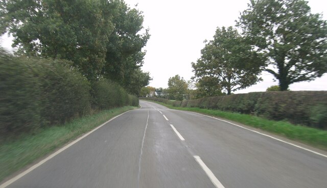
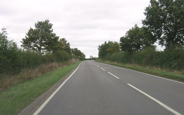
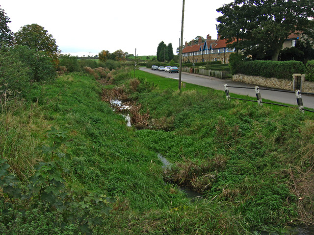
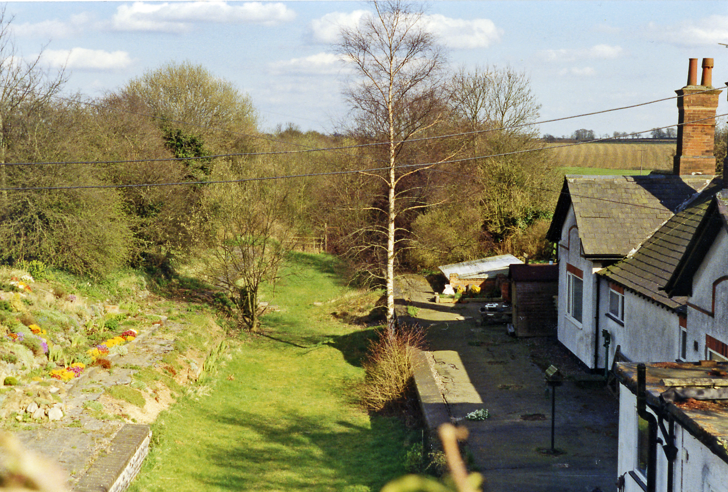
The village is surrounded by picturesque countryside, characterized by rolling hills and farmland, making it an ideal location for those seeking a tranquil environment. Coston is well-connected to nearby towns and cities, with good transport links providing easy access to Leicester and other surrounding areas.

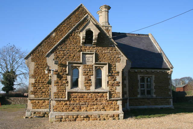
Coston has a rich history, evident in its well-preserved buildings and landmarks. The historic St. Nicholas Church, dating back to the 13th century, stands as a testament to the village's heritage. This beautiful church is a focal point of the community and plays an important role in local events and celebrations.

While Coston is primarily a residential area, it benefits from its proximity to larger towns and cities, offering residents a range of amenities and services. Nearby Market Harborough provides a variety of shops, restaurants, and leisure facilities, ensuring that residents have access to everything they need within a short distance.

Overall, Coston is a charming village that offers a peaceful and idyllic setting for its residents. With its rich history, beautiful countryside, and convenient location, it is a desirable place to live for those seeking a quiet rural lifestyle within easy reach of urban amenities.

If you have any feedback on the listing, please let us know in the comments section below.

Coston Images

Images are sourced within 2km of 52.791694/-0.745223 or Grid Reference SK8422. Thanks to Geograph Open Source API. All images are credited.

Benchmark on west face of St Andrew's Church Ordnance Survey cut mark bench mark described on the Bench Mark Database at <span class="nowrap"><a title="www.bench-marks.org.uk/bm80313" rel="nofollow ugc noopener" href="http://www.bench-marks.org.uk/bm80313">Link</a><img style="margin-left:2px;" alt="External link" title="External link - shift click to open in new window" src="https://s1.geograph.org.uk/img/external.png" width="10" height="10"/></span>
Benchmark on west face of St Andrew's Church
Ordnance Survey cut mark bench mark described on the Bench Mark Database at LinkExternal link
St Andrew's Church There is an Ordnance Survey benchmark <a href="https://www.geograph.org.uk/photo/6923118">SK8422 : Benchmark on west face of St Andrew's Church</a> on the front of the church on its right hand corner.
St Andrew's Church
There is an Ordnance Survey benchmark SK8422 : Benchmark on west face of St Andrew's Church on the front of the church on its right hand corner.
Benchmark on top of River Eye bridge parapet Ordnance Survey rivet benchmark described on the Bench Mark Database at <span class="nowrap"><a title="www.bench-marks.org.uk/bm80691" rel="nofollow ugc noopener" href="http://www.bench-marks.org.uk/bm80691">Link</a><img style="margin-left:2px;" alt="External link" title="External link - shift click to open in new window" src="https://s1.geograph.org.uk/img/external.png" width="10" height="10"/></span>
Benchmark on top of River Eye bridge parapet
Ordnance Survey rivet benchmark described on the Bench Mark Database at LinkExternal link
South parapet of bridge taking B676 over River Eye There is an Ordnance Survey benchmark <a href="https://www.geograph.org.uk/photo/6923798">SK8422 : Benchmark on top of River Eye bridge parapet</a> on top of the parapet between the two bridge piers
South parapet of bridge taking B676 over River Eye
There is an Ordnance Survey benchmark SK8422 : Benchmark on top of River Eye bridge parapet on top of the parapet between the two bridge piers
Road junction and finger post
B676 eastbound
B676 eastbound
B676 eastbound
B676 eastbound
B676 eastbound
B676 eastbound
Entrance to Coston
Entrance to Coston
B676 eastbound
B676 eastbound
B676 eastbound
B676 eastbound
B676 eastbound
B676 eastbound
B676 eastbound
B676 eastbound
B676 eastbound
B676 eastbound
Minor road and bridge near The Delph Looking northward. The River Eye flows beneath the bridge.
Minor road and bridge near The Delph
Looking northward. The River Eye flows beneath the bridge.
Grange Lane A view into the sunlight along a minor lane.
Grange Lane
A view into the sunlight along a minor lane.
Fields Pastureland in winter, waiting for the return of the beasts from the overwintering sheds.
Fields
Pastureland in winter, waiting for the return of the beasts from the overwintering sheds.
Benchmark on parapet of bridge on south side of road through Coston Ordnance Survey rivet benchmark levelled at 101.986m above Newlyn Datum verified 1962
Benchmark on parapet of bridge on south side of road through Coston
Ordnance Survey rivet benchmark levelled at 101.986m above Newlyn Datum verified 1962
Show me another place!

Coston is located at Grid Ref: SK8422 (Lat: 52.791694, Lng: -0.745223)

Administrative County: Leicestershire

District: Melton

Police Authority: Leicestershire

What 3 Words

///hurry.glimmers.sensitive. Near Wymondham, Leicestershire

Related Wikis

Coston, Leicestershire

Coston is a village and former civil parish, now in the parish of Garthorpe in the Melton district, in the eastern part of Leicestershire, England. In...

Garthorpe, Leicestershire

Garthorpe is a village and civil parish (sometimes called Garthorpe and Coston) in Leicestershire, England, in the Melton district. It is about five miles...

St Mary's Church, Garthorpe

St Mary's Church is a redundant Church of England parish church in the village of Garthorpe, Leicestershire, England. The building is Grade I listed. It...

Sproxton, Leicestershire

Sproxton () is a village and civil parish within the Borough of Melton in Leicestershire, England, close to the border with Lincolnshire. It has approximately...

Buckminster

Buckminster is a village and civil parish within the Melton district of Leicestershire, England, which includes the two villages of Buckminster and Sewstern...

Stonesby

Stonesby is a village and former civil parish, now in the parish of Sproxton, within the Melton borough of Leicestershire, England. It is 6 miles (9.7...

Church of St John the Baptist, Buckminster

The Church of St John the Baptist is a church in Buckminster, Leicestershire. It is a Grade I listed building. == History == The church consists of a nave...

Edmondthorpe and Wymondham railway station

Edmondthorpe and Wymondham railway station was a station in Wymondham, Leicestershire. It also served the small hamlet of Edmondthorpe. It was Midland...

Nearby Amenities

Located within 500m of 52.791694,-0.745223
Coston
Place: hamlet
Source: NLS - OS 1:25k 1st Series 1937-61
Wikidata: Q5175175
Lat/Long: 52.7909581/-0.7448922
The data included in this document is from www.openstreetmap.org. The data is made available under ODbL.

Have you been to Coston?

Leave your review of Coston below (or comments, questions and feedback).