Ashley Heath
Settlement in Hampshire
England
Ashley Heath

Ashley Heath is a small village located in the county of Hampshire, England. Situated within the New Forest National Park, it is surrounded by picturesque woodland and open heathland, making it a popular destination for nature lovers and outdoor enthusiasts.
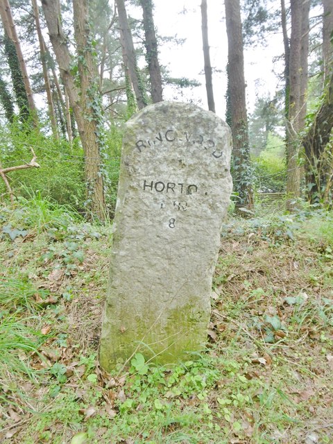
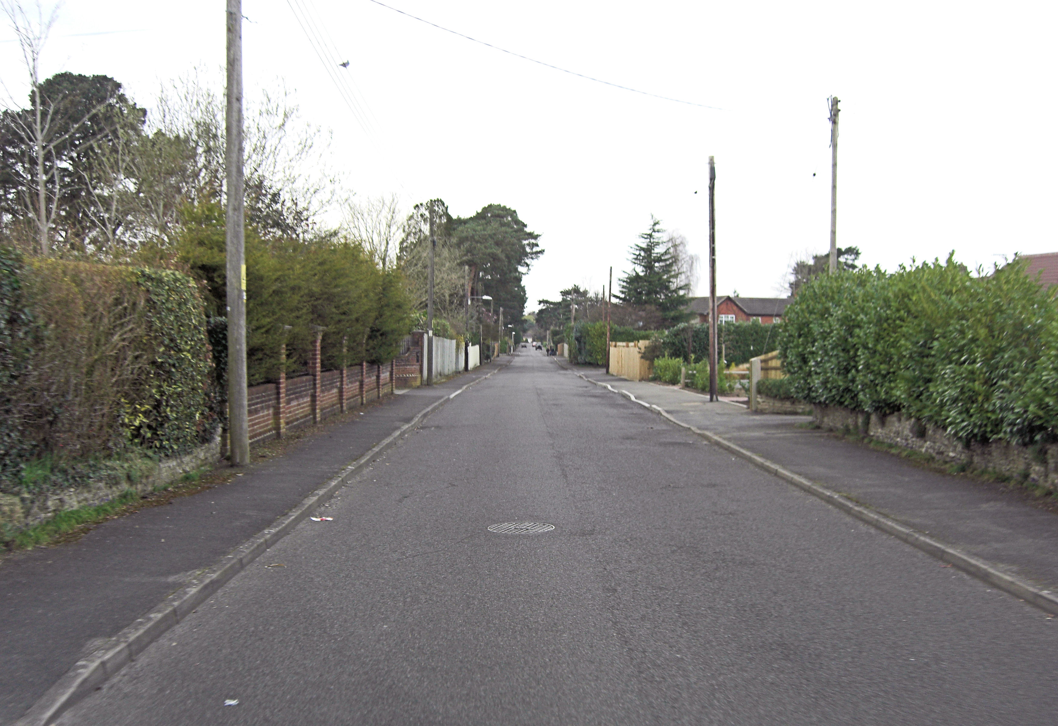
The village is conveniently located near the A31 road, providing easy access to nearby towns and cities such as Ringwood, Bournemouth, and Southampton. Despite its proximity to these urban areas, Ashley Heath maintains a peaceful and rural atmosphere, with a strong sense of community.
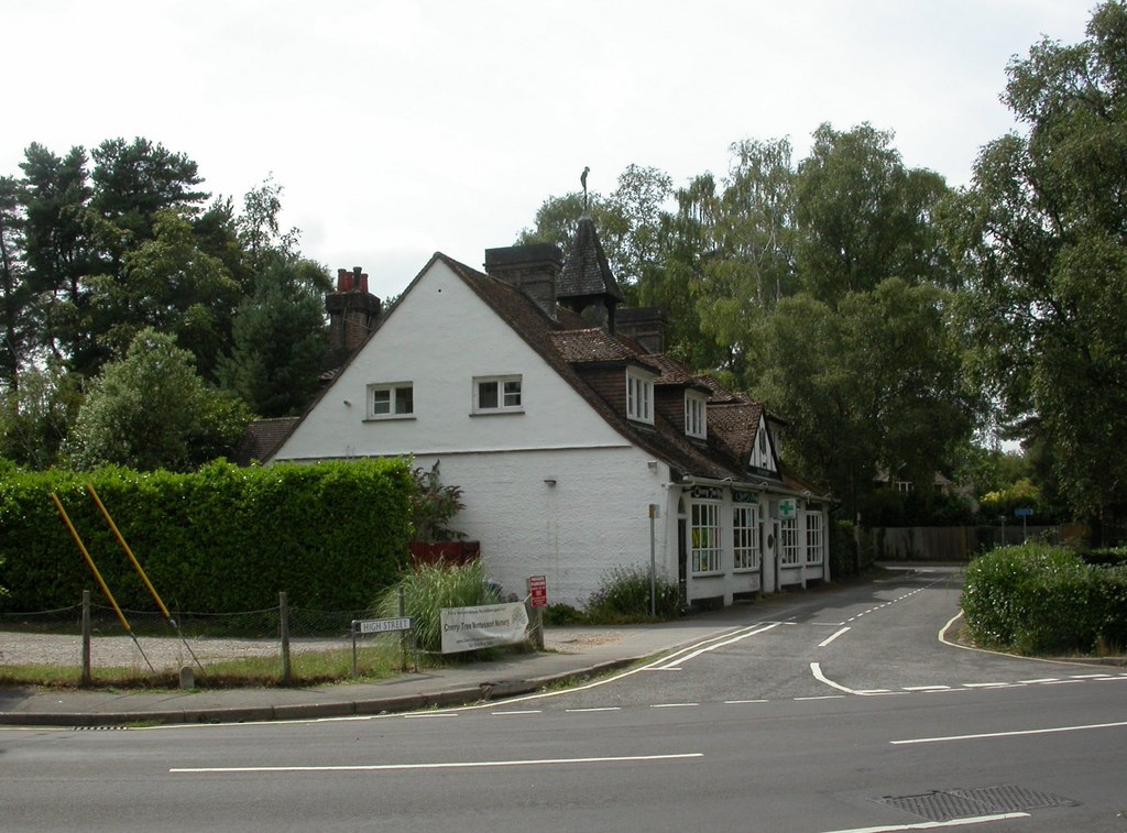
Ashley Heath offers a range of amenities and facilities for residents and visitors alike. There are a few local shops, a post office, and a village hall, providing essential services and hosting community events. The village also boasts several pubs and restaurants, offering a variety of dining options.
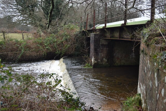
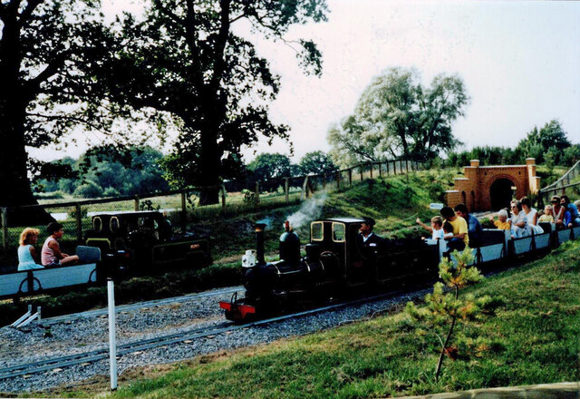
For those seeking outdoor activities, Ashley Heath offers numerous opportunities. The nearby New Forest is a haven for wildlife, with plenty of walking and cycling trails. The Moors Valley Country Park and Forest is also just a short distance away, offering a range of activities including a high ropes course and a steam railway.
Education in Ashley Heath is provided by a primary school, which serves the local community. Secondary education is available in nearby towns such as Ringwood and Bournemouth.
In summary, Ashley Heath is a charming village in Hampshire, known for its beautiful natural surroundings and strong community spirit. With its convenient location and range of amenities, it offers a peaceful and idyllic place to live or visit.
If you have any feedback on the listing, please let us know in the comments section below.
Ashley Heath Images
Images are sourced within 2km of 50.837775/-1.8383233 or Grid Reference SU1104. Thanks to Geograph Open Source API. All images are credited.


Ashley Heath is located at Grid Ref: SU1104 (Lat: 50.837775, Lng: -1.8383233)
Unitary Authority: Dorset
Police Authority: Dorset
What 3 Words
///hires.cheerily.sector. Near St Leonards, Dorset
Nearby Locations
Related Wikis
Ashley Heath
Ashley Heath is a village in Dorset, England, adjacent to the villages of St Leonards and St Ives, with which it forms the civil parish of St Leonards...
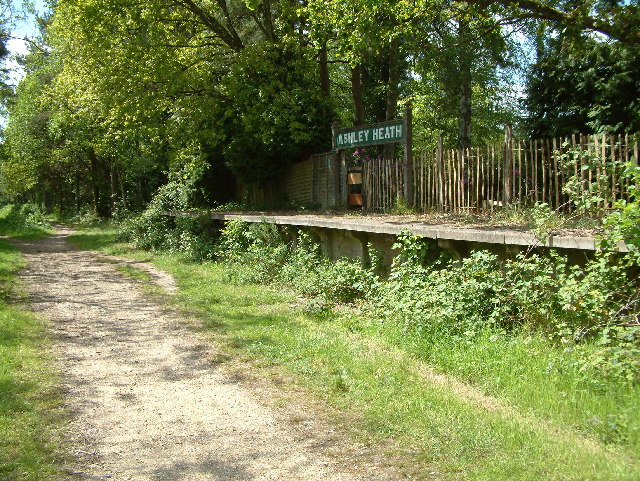
Ashley Heath Halt railway station
Ashley Heath Halt was a railway station in England on the Southampton and Dorchester Railway formerly in the county of Hampshire (now part of Dorset)....
St Leonards and St Ives
St Leonards and St Ives is a civil parish in Dorset, England. The parish contains the settlements of Ashley Heath, St Ives and St Leonards, which have...
St Leonards, Dorset
St Leonards is a village in south east Dorset, England, situated on the A31 road approximately 2.5 miles (4.0 km) south-west of Ringwood, Hampshire, 8...
Nearby Amenities
Located within 500m of 50.837775,-1.8383233Have you been to Ashley Heath?
Leave your review of Ashley Heath below (or comments, questions and feedback).