Serpentine Wood

Wood, Forest in Lincolnshire West Lindsey

England

Serpentine Wood

Cedar, Kettlethorpe A handsome specimen doing its best to conceal the parish church (<a href="https://www.geograph.org.uk/photo/2137181">SK8475 : St Peter & St Paul's Church, Kettlethorpe, Lincolnshire</a>).
Cedar, Kettlethorpe Credit: Stephen Richards

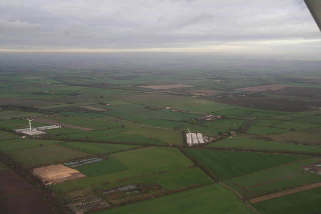
Serpentine Wood is a dense forest located in the county of Lincolnshire, England. Spanning an area of approximately 500 acres, it is known for its lush greenery and diverse wildlife. The wood is situated near the town of Lincoln, making it easily accessible to both locals and tourists.

The forest is primarily composed of serpentine rock, which is a type of metamorphic rock characterized by its unique greenish color and smooth texture. This rock formation gives the wood its name and contributes to its distinctive appearance. Serpentine Wood is home to a wide variety of trees, including oak, ash, beech, and birch, creating a rich and diverse ecosystem.

The wood is a popular destination for nature enthusiasts and outdoor adventurers. It offers numerous walking trails and paths, allowing visitors to explore its beauty and tranquility at their own pace. The forest also features a designated picnic area, providing a perfect spot for families and friends to enjoy a meal amidst nature.

The wildlife in Serpentine Wood is abundant and varied. Birdwatchers can spot species such as woodpeckers, owls, and various migratory birds. Additionally, the wood is home to a variety of mammals, including foxes, badgers, and deer.

Serpentine Wood is not only a natural haven but also a site of historical significance. It has been a protected area for centuries and is believed to have been used by ancient civilizations for rituals and ceremonies. Today, it continues to be an important part of the local heritage and a cherished natural resource for the people of Lincolnshire.

If you have any feedback on the listing, please let us know in the comments section below.

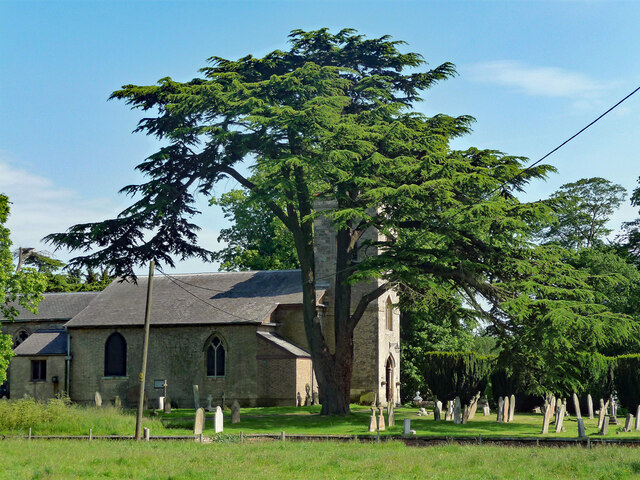
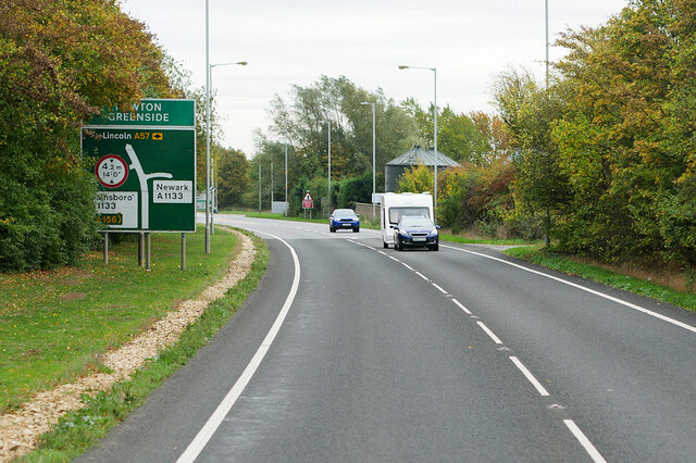
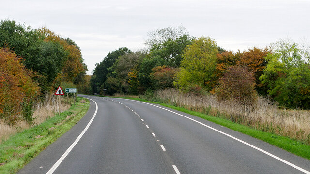
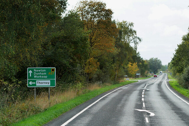
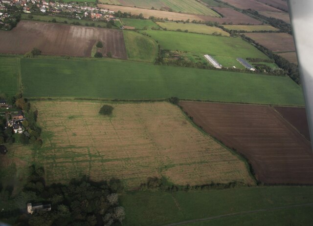
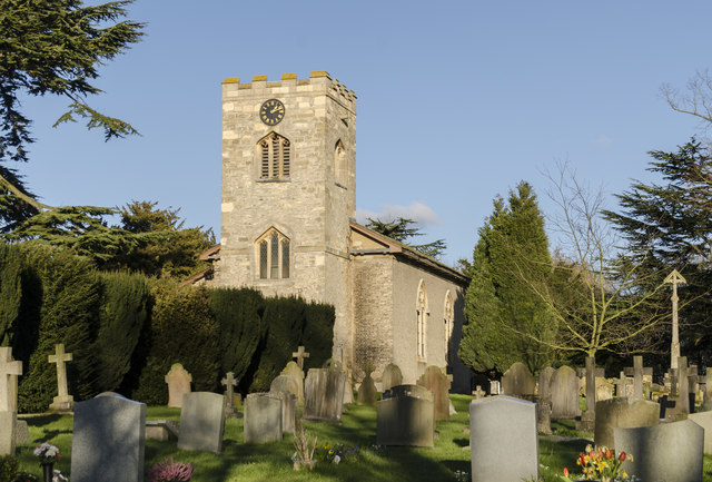
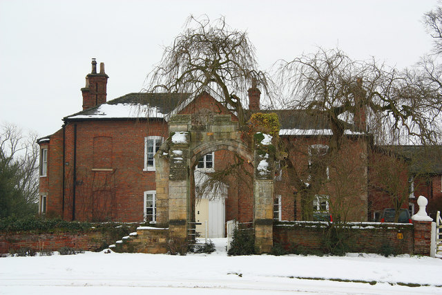
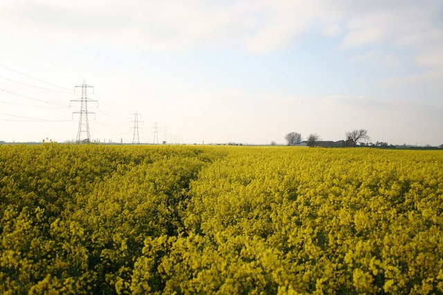
Serpentine Wood Images

Images are sourced within 2km of 53.267424/-0.73204675 or Grid Reference SK8475. Thanks to Geograph Open Source API. All images are credited.

Cedar, Kettlethorpe A handsome specimen doing its best to conceal the parish church (<a href="https://www.geograph.org.uk/photo/2137181">SK8475 : St Peter & St Paul's Church, Kettlethorpe, Lincolnshire</a>).
Cedar, Kettlethorpe
A handsome specimen doing its best to conceal the parish church (SK8475 : St Peter & St Paul's Church, Kettlethorpe, Lincolnshire).
Cut Bench Mark on a Former Chapel on Dunholme Road Cut bench mark on a buttress, visible through the railings of a former chapel, now a private house.  See <a title="https://www.geograph.org.uk/photo/7382352" href="https://www.geograph.org.uk/photo/7382352">Link</a> for a wider view and <span class="nowrap"><a title="https://www.bench-marks.org.uk/bm182247" rel="nofollow ugc noopener" href="https://www.bench-marks.org.uk/bm182247">Link</a><img style="margin-left:2px;" alt="External link" title="External link - shift click to open in new window" src="https://s1.geograph.org.uk/img/external.png" width="10" height="10"/></span> for details of the mark.
Cut Bench Mark on a Former Chapel on Dunholme Road
Cut bench mark on a buttress, visible through the railings of a former chapel, now a private house. See Link for a wider view and LinkExternal link for details of the mark.
Former Methodist Chapel on Dunholme Road There is a cut bench mark on a buttress, visible through the railings of this former chapel, now a private house.  See <a title="https://www.geograph.org.uk/photo/7382348" href="https://www.geograph.org.uk/photo/7382348">Link</a> for a closer view and <span class="nowrap"><a title="https://www.bench-marks.org.uk/bm182247" rel="nofollow ugc noopener" href="https://www.bench-marks.org.uk/bm182247">Link</a><img style="margin-left:2px;" alt="External link" title="External link - shift click to open in new window" src="https://s1.geograph.org.uk/img/external.png" width="10" height="10"/></span> for details of the mark.
Former Methodist Chapel on Dunholme Road
There is a cut bench mark on a buttress, visible through the railings of this former chapel, now a private house. See Link for a closer view and LinkExternal link for details of the mark.
Newton-on-Trent, Dunham Road
A57 between Newton-on-Trent and Drinsey Nook
Westbound A57 near Kettlethorpe
Layby on the A57 near Newton on Trent,
Westmoor Lane Parking Area on the A57 near Newton on Trent
Westbound A57 near Newton on Trent
Site of the Medieval Settlement of Kettlethorpe: aerial 2023
Wind turbines between the A156 and the Fossdyke Navigation: aerial 2015 The one on the left is opposite Lodge Farm, Kettlethorpe in <a href="https://www.geograph.org.uk/gridref/SK8575">SK8575</a>.
Wind turbines between the A156 and the Fossdyke Navigation: aerial 2015
The one on the left is opposite Lodge Farm, Kettlethorpe in SK8575.
Ss Peter & Paul church, Kettlethorpe View from the north.
Ss Peter & Paul church, Kettlethorpe
View from the north.
Interior, Ss Peter & Paul church, Kettlethorpe Looking east along the nave.
Interior, Ss Peter & Paul church, Kettlethorpe
Looking east along the nave.
Interior, Ss Peter & Paul church, Kettlethorpe Looking north west along the nave.
Interior, Ss Peter & Paul church, Kettlethorpe
Looking north west along the nave.
Ss Peter & Paul church, Kettlethorpe A view from the west. The cross in the churchyard can be seen on the right.
Ss Peter & Paul church, Kettlethorpe
A view from the west. The cross in the churchyard can be seen on the right.
East window, Ss Peter & Paul church, Kettlethorpe In memory of George Atkinson, d. 1873.
East window, Ss Peter & Paul church, Kettlethorpe
In memory of George Atkinson, d. 1873.
Stained glass window, Ss Peter & Paul church, Kettlethorpe The Ascension and Resurrection by William Wailes, 1862.
In memory of Gervase Wells Cole, d.1862 aged 35.
Stained glass window, Ss Peter & Paul church, Kettlethorpe
The Ascension and Resurrection by William Wailes, 1862. In memory of Gervase Wells Cole, d.1862 aged 35.
Stained glass window, Ss Peter & Paul, Kettlethorpe Faded Stained glass window from 1868.
Stained glass window, Ss Peter & Paul, Kettlethorpe
Faded Stained glass window from 1868.
Show me another place!

Serpentine Wood is located at Grid Ref: SK8475 (Lat: 53.267424, Lng: -0.73204675)

Administrative County: Lincolnshire

District: West Lindsey

Police Authority: Lincolnshire

What 3 Words

///scripted.dusty.contained. Near Saxilby, Lincolnshire

Related Wikis

Kettlethorpe Hall

Kettlethorpe Hall is a Victorian house in Kettlethorpe, Lincolnshire, noted for its connection to Katherine Swynford, Duchess of Lancaster. It encloses...

Kettlethorpe, Lincolnshire

Kettlethorpe is a village and civil parish in the West Lindsey district of Lincolnshire, England. It is situated 10 miles (16 km) west of Lincoln. The...

Fenton, West Lindsey

Fenton is a village and civil parish in the West Lindsey district of Lincolnshire, England. It is situated 9 mi (14 km) north-west of Lincoln and 4 miles...

Newton on Trent

Newton on Trent is a village and civil parish in the West Lindsey district of Lincolnshire, England. The population of the civil parish at the 2011 census...

Hardwick, West Lindsey

Hardwick is a civil parish about 7 miles from Lincoln, in the West Lindsey district, in the county of Lincolnshire, England. In 2001 the parish had a population...

Thorney, Nottinghamshire

Thorney is a village and civil parish about 2 and a half miles south west of Saxilby railway station, in the Newark and Sherwood district, in the county...

Drinsey Nook

Drinsey Nook is a small village in the West Lindsey district of Lincolnshire, England. It is situated approximately 2 miles (3 km) south-west from Saxilby...

St Helen's Church, Thorney

St Helen's Church is a Grade II* listed parish church in the Church of England in Thorney, Nottinghamshire. == History == The church was built in 1850...

Nearby Amenities

Located within 500m of 53.267424,-0.73204675
Note: End of Public Highway
Lat/Long: 53.2711658/-0.7305689
Archaeological Site: fortification
Historic: archaeological_site
Source: Bing
Lat/Long: 53.2707116/-0.7291812
The data included in this document is from www.openstreetmap.org. The data is made available under ODbL.

Have you been to Serpentine Wood?

Leave your review of Serpentine Wood below (or comments, questions and feedback).