Sallie Bank Woodland

Wood, Forest in Lincolnshire West Lindsey

England

Sallie Bank Woodland

Cedar, Kettlethorpe A handsome specimen doing its best to conceal the parish church (<a href="https://www.geograph.org.uk/photo/2137181">SK8475 : St Peter & St Paul's Church, Kettlethorpe, Lincolnshire</a>).
Cedar, Kettlethorpe Credit: Stephen Richards

Sallie Bank Woodland is a picturesque forest located in the county of Lincolnshire, England. With an area of approximately 100 acres, it offers a tranquil escape for nature enthusiasts and outdoor adventurers. The forest is situated near the village of Sallie Bank, surrounded by rolling hills and stunning countryside.

As you enter Sallie Bank Woodland, you are immediately greeted by a diverse range of tree species, including oak, beech, and birch. The forest's dense canopy creates a cool and shaded environment, perfect for a leisurely stroll or a peaceful picnic. The forest floor is adorned with a carpet of vibrant wildflowers, adding a splash of color to the surroundings during the spring and summer months.

The woodland is also home to a variety of wildlife, providing ample opportunities for nature spotting. Visitors may catch a glimpse of deer grazing in the distance or hear the melodic songs of birds echoing through the trees. For those interested in birdwatching, Sallie Bank Woodland offers an array of species, including woodpeckers, owls, and jays.

There are several well-maintained trails that wind through the forest, allowing visitors to explore its beauty at their own pace. These paths offer a chance to discover hidden gems such as a glistening stream or a secluded clearing, providing a sense of tranquility and serenity. Additionally, the forest is equipped with picnic areas and benches, providing the perfect spot to rest and enjoy the peaceful ambiance.

Sallie Bank Woodland is a true haven for nature lovers, offering a serene and beautiful escape from the hustle and bustle of everyday life. Whether you are seeking a peaceful walk, a family outing, or a chance to connect with the natural world, this enchanting forest is sure to leave a lasting impression.

If you have any feedback on the listing, please let us know in the comments section below.

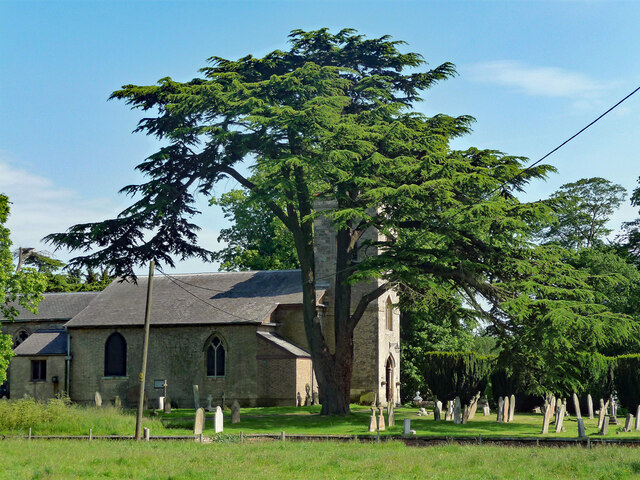
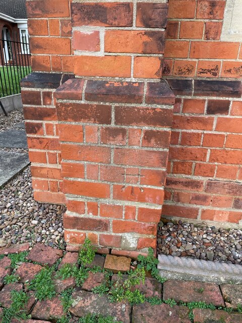
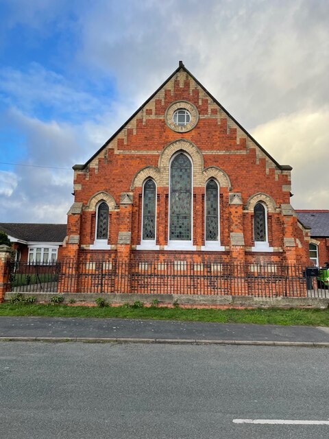
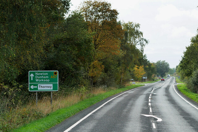
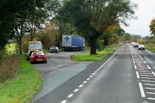
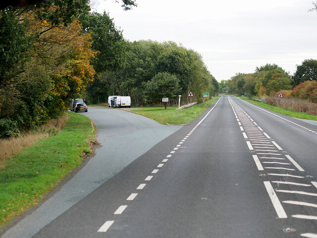
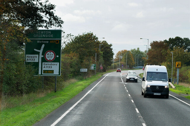
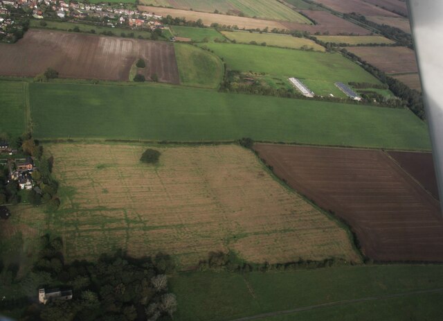
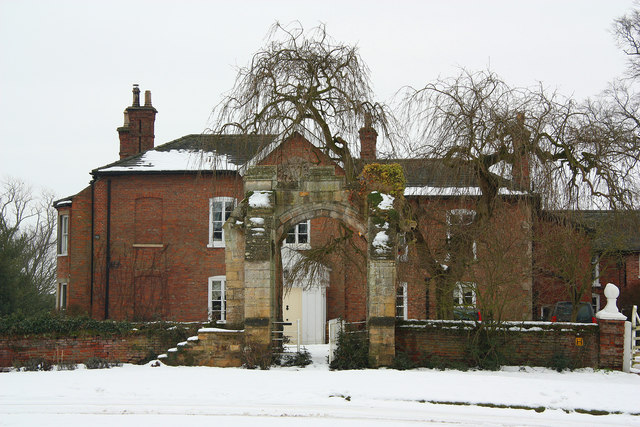
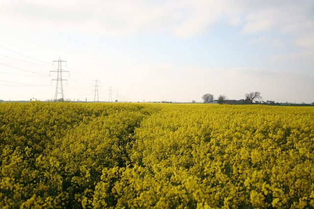
Sallie Bank Woodland Images

Images are sourced within 2km of 53.27304/-0.74029346 or Grid Reference SK8475. Thanks to Geograph Open Source API. All images are credited.

Cedar, Kettlethorpe A handsome specimen doing its best to conceal the parish church (<a href="https://www.geograph.org.uk/photo/2137181">SK8475 : St Peter & St Paul's Church, Kettlethorpe, Lincolnshire</a>).
Cedar, Kettlethorpe
A handsome specimen doing its best to conceal the parish church (SK8475 : St Peter & St Paul's Church, Kettlethorpe, Lincolnshire).
Cut Bench Mark on a Former Chapel on Dunholme Road Cut bench mark on a buttress, visible through the railings of a former chapel, now a private house.  See <a title="https://www.geograph.org.uk/photo/7382352" href="https://www.geograph.org.uk/photo/7382352">Link</a> for a wider view and <span class="nowrap"><a title="https://www.bench-marks.org.uk/bm182247" rel="nofollow ugc noopener" href="https://www.bench-marks.org.uk/bm182247">Link</a><img style="margin-left:2px;" alt="External link" title="External link - shift click to open in new window" src="https://s1.geograph.org.uk/img/external.png" width="10" height="10"/></span> for details of the mark.
Cut Bench Mark on a Former Chapel on Dunholme Road
Cut bench mark on a buttress, visible through the railings of a former chapel, now a private house. See Link for a wider view and LinkExternal link for details of the mark.
Former Methodist Chapel on Dunholme Road There is a cut bench mark on a buttress, visible through the railings of this former chapel, now a private house.  See <a title="https://www.geograph.org.uk/photo/7382348" href="https://www.geograph.org.uk/photo/7382348">Link</a> for a closer view and <span class="nowrap"><a title="https://www.bench-marks.org.uk/bm182247" rel="nofollow ugc noopener" href="https://www.bench-marks.org.uk/bm182247">Link</a><img style="margin-left:2px;" alt="External link" title="External link - shift click to open in new window" src="https://s1.geograph.org.uk/img/external.png" width="10" height="10"/></span> for details of the mark.
Former Methodist Chapel on Dunholme Road
There is a cut bench mark on a buttress, visible through the railings of this former chapel, now a private house. See Link for a closer view and LinkExternal link for details of the mark.
Westbound A57 near Kettlethorpe
Layby on the A57 near Newton on Trent,
Westmoor Lane Parking Area on the A57 near Newton on Trent
Westbound A57 near Newton on Trent
Dunham Rack on the River Trent: aerial 2023
Site of the Medieval Settlement of Kettlethorpe: aerial 2023
Ss Peter & Paul church, Kettlethorpe View from the north.
Ss Peter & Paul church, Kettlethorpe
View from the north.
Interior, Ss Peter & Paul church, Kettlethorpe Looking east along the nave.
Interior, Ss Peter & Paul church, Kettlethorpe
Looking east along the nave.
Interior, Ss Peter & Paul church, Kettlethorpe Looking north west along the nave.
Interior, Ss Peter & Paul church, Kettlethorpe
Looking north west along the nave.
Ss Peter & Paul church, Kettlethorpe A view from the west. The cross in the churchyard can be seen on the right.
Ss Peter & Paul church, Kettlethorpe
A view from the west. The cross in the churchyard can be seen on the right.
East window, Ss Peter & Paul church, Kettlethorpe In memory of George Atkinson, d. 1873.
East window, Ss Peter & Paul church, Kettlethorpe
In memory of George Atkinson, d. 1873.
Stained glass window, Ss Peter & Paul church, Kettlethorpe The Ascension and Resurrection by William Wailes, 1862.
In memory of Gervase Wells Cole, d.1862 aged 35.
Stained glass window, Ss Peter & Paul church, Kettlethorpe
The Ascension and Resurrection by William Wailes, 1862. In memory of Gervase Wells Cole, d.1862 aged 35.
Stained glass window, Ss Peter & Paul, Kettlethorpe Faded Stained glass window from 1868.
Stained glass window, Ss Peter & Paul, Kettlethorpe
Faded Stained glass window from 1868.
Pulpit, Ss Peter & Paul church, Kettlethorpe Beautifully carved.
Pulpit, Ss Peter & Paul church, Kettlethorpe
Beautifully carved.
The White Hart Ancient and reputedly haunted hostelry on High Street, Newton on Trent <a title="https://www.geograph.org.uk/photo/2777021" href="https://www.geograph.org.uk/photo/2777021">Link</a> closed and boarded up for about two years.
The White Hart
Ancient and reputedly haunted hostelry on High Street, Newton on Trent Link closed and boarded up for about two years.
Show me another place!

Sallie Bank Woodland is located at Grid Ref: SK8475 (Lat: 53.27304, Lng: -0.74029346)

Administrative County: Lincolnshire

District: West Lindsey

Police Authority: Lincolnshire

What 3 Words

///modem.talents.headrest. Near Saxilby, Lincolnshire

Related Wikis

Kettlethorpe, Lincolnshire

Kettlethorpe is a village and civil parish in the West Lindsey district of Lincolnshire, England. It is situated 10 miles (16 km) west of Lincoln. The...

Kettlethorpe Hall

Kettlethorpe Hall is a Victorian house in Kettlethorpe, Lincolnshire, noted for its connection to Katherine Swynford, Duchess of Lancaster. It encloses...

Fenton, West Lindsey

Fenton is a village and civil parish in the West Lindsey district of Lincolnshire, England. It is situated 9 mi (14 km) north-west of Lincoln and 4 miles...

Newton on Trent

Newton on Trent is a village and civil parish in the West Lindsey district of Lincolnshire, England. The population of the civil parish at the 2011 census...

Dunham Bridge

Dunham Bridge is a toll bridge across the River Trent in England. It spans the border between Nottinghamshire and Lincolnshire to the west and east respectively...

St Peter's Church, Laneham

St Peter's Church, Laneham is a Grade I listed parish church in the Church of England in Laneham, Nottinghamshire, England. == History == Various parts...
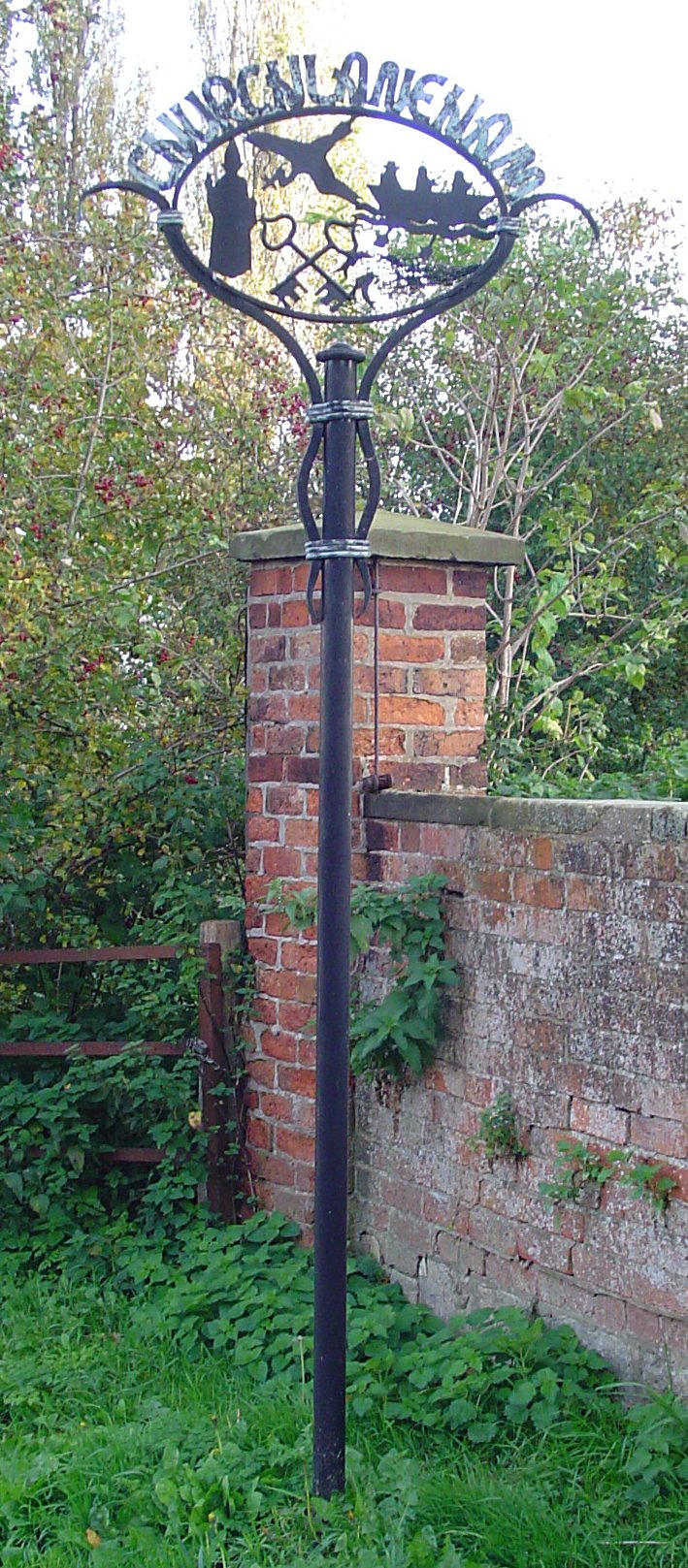
Church Laneham

Church Laneham is a hamlet in Nottinghamshire, England. It is located 9 miles east of Retford, on the west bank of the tidal section of the River Trent...

Hardwick, West Lindsey

Hardwick is a civil parish about 7 miles from Lincoln, in the West Lindsey district, in the county of Lincolnshire, England. In 2001 the parish had a population...

Nearby Amenities

Located within 500m of 53.27304,-0.74029346
Laughterton
Is In: Lincolnshire, England, UK
Place: hamlet
Source: NPE
Lat/Long: 53.2739269/-0.7429197
Pub
Friendship
Lat/Long: 53.2735218/-0.7452221
Bus Stop
Home Farm Close
Naptan AtcoCode: 270000007778
Naptan Bearing: N
Naptan CommonName: Home Farm Close
Naptan Indicator: opp
Naptan Landmark: Home Farm Close
Naptan NaptanCode: lingmamp
Naptan Street: A1133
Naptan Verified: no
Source: naptan_import
Lat/Long: 53.2739881/-0.7454736
Bus Stop
Home Farm Close
Naptan AtcoCode: 2700LL000758
Naptan Bearing: S
Naptan CommonName: Home Farm Close
Naptan Indicator: adj
Naptan Landmark: Home Farm Close
Naptan NaptanCode: linagjdp
Naptan Street: A1133
Naptan Verified: no
Source: naptan_import
Lat/Long: 53.2740398/-0.7452621
East View Farm
Place: farm
Source: Bing
Lat/Long: 53.2740529/-0.7471222
Direction: S
Generator Method: photovoltaic
Generator Output Electricity: yes
Generator Solar Modules: 18
Generator Source: solar
Generator Type: solar_photovoltaic_panel
Location: roof
Power: generator
Lat/Long: 53.2737492/-0.7445021
Direction: 185
Generator Method: photovoltaic
Generator Output Electricity: yes
Generator Solar Modules: 24
Generator Source: solar
Generator Type: solar_photovoltaic_panel
Location: roof
Power: generator
Lat/Long: 53.2734201/-0.7466123
Direction: 175
Generator Method: photovoltaic
Generator Output Electricity: yes
Generator Solar Modules: 21
Generator Source: solar
Generator Type: solar_photovoltaic_panel
Location: roof
Power: generator
Lat/Long: 53.2713881/-0.7452397
Direction: 275
Generator Method: photovoltaic
Generator Output Electricity: yes
Generator Solar Modules: 8
Generator Source: solar
Generator Type: solar_photovoltaic_panel
Location: roof
Power: generator
Lat/Long: 53.271526/-0.7458881
Direction: 95
Generator Method: photovoltaic
Generator Output Electricity: yes
Generator Solar Modules: 8
Generator Source: solar
Generator Type: solar_photovoltaic_panel
Location: roof
Power: generator
Lat/Long: 53.2715224/-0.7458405
Direction: 185
Generator Method: photovoltaic
Generator Output Electricity: yes
Generator Solar Modules: 16
Generator Source: solar
Generator Type: solar_photovoltaic_panel
Location: roof
Power: generator
Lat/Long: 53.2714278/-0.7458593
Direction: 185
Generator Method: photovoltaic
Generator Output Electricity: yes
Generator Solar Modules: 16
Generator Source: solar
Generator Type: solar_photovoltaic_panel
Location: roof
Power: generator
Lat/Long: 53.2718637/-0.7472675
Note: End of Public Highway
Lat/Long: 53.2708748/-0.7454704
Telephone
Defibrillator
Booth: KX100
Covered: booth
Defibrillator Location: inside telephone boxnorth end of Laughterton
Emergency: defibrillator
Man Made: telephone_box
Lat/Long: 53.2747888/-0.7454138
Historic: memorial
Memorial: war_memorial
Lat/Long: 53.2746496/-0.7452217
Post Box
Post Box Type: wall
Lat/Long: 53.2731624/-0.745438
The data included in this document is from www.openstreetmap.org. The data is made available under ODbL.

Have you been to Sallie Bank Woodland?

Leave your review of Sallie Bank Woodland below (or comments, questions and feedback).