Wardley Moor
Wood, Forest in Sussex Chichester
England
Wardley Moor
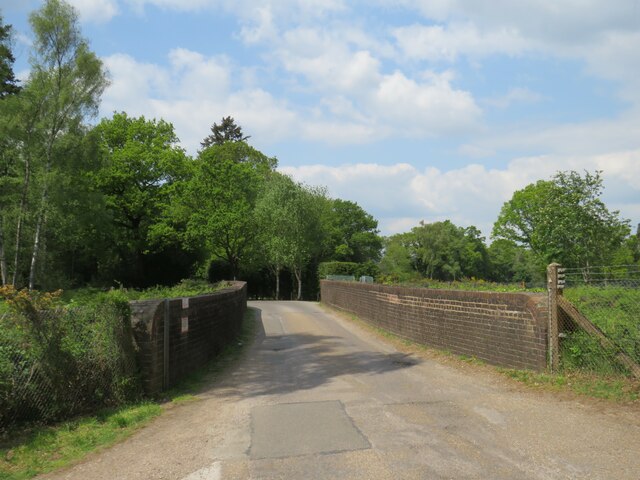
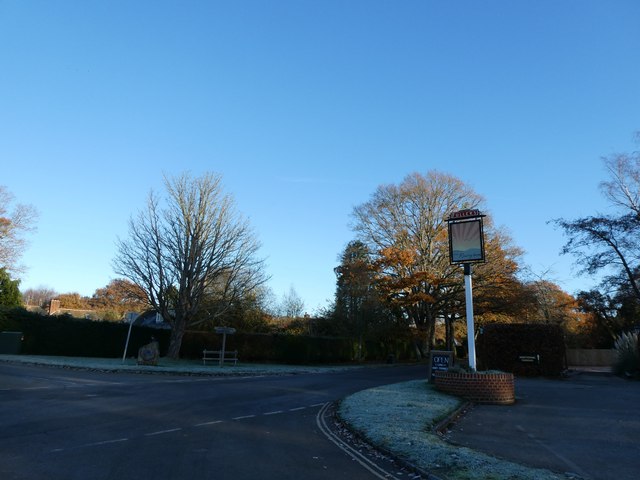
Wardley Moor is a picturesque woodland located in Sussex, England. Spanning over a vast area, it is renowned for its natural beauty and abundant wildlife. The moor is situated in the southern part of the county, close to the town of Haywards Heath.
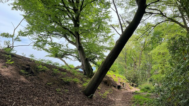
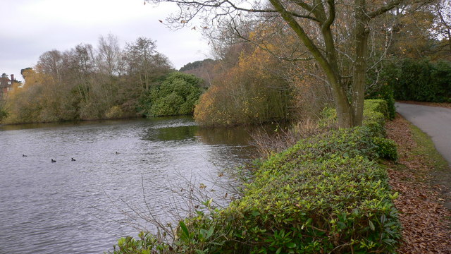
This woodland is characterized by its dense and diverse vegetation, comprising mainly of deciduous trees such as oak, beech, and birch. The rich foliage provides a stunning display of vibrant colors throughout the year, with the vibrant greens of spring and summer giving way to the warm hues of autumn. The forest floor is carpeted with a variety of wildflowers and ferns, adding to the charm of the landscape.
Wardley Moor is a haven for wildlife enthusiasts and nature lovers. The area is home to a wide range of bird species, including woodpeckers, owls, and various migratory birds. The forest also supports a thriving population of mammals, such as deer, foxes, and badgers. The tranquil atmosphere and abundance of food sources make it an ideal habitat for these creatures.
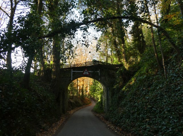
The moor offers numerous walking trails and paths, allowing visitors to explore its beauty at their own pace. It is a popular destination for outdoor activities such as hiking, cycling, and birdwatching. The peaceful ambiance and breathtaking scenery make it an idyllic spot for picnics and family outings.
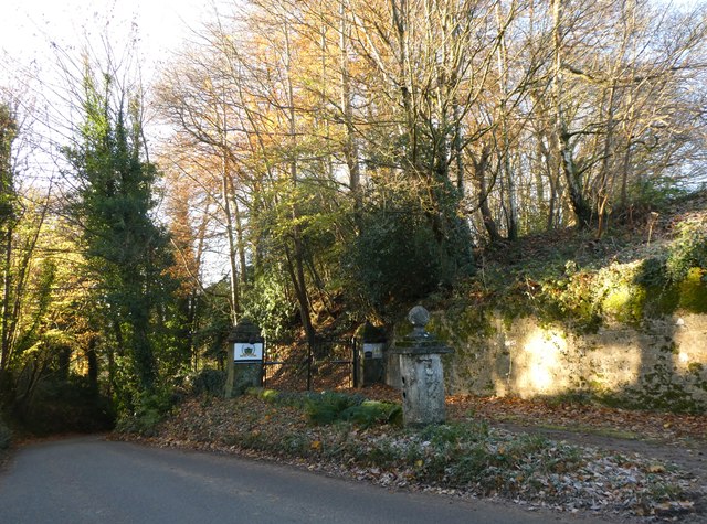
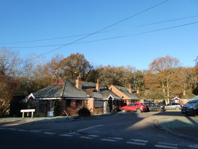
Wardley Moor is not only cherished for its natural splendor but also for its historical significance. The woodland has been a part of the Sussex landscape for centuries, with evidence of human settlements dating back to ancient times. It is a place where history and nature seamlessly intertwine, creating a truly memorable experience for all who visit.
If you have any feedback on the listing, please let us know in the comments section below.
Wardley Moor Images
Images are sourced within 2km of 51.052015/-0.79566223 or Grid Reference SU8428. Thanks to Geograph Open Source API. All images are credited.


Wardley Moor is located at Grid Ref: SU8428 (Lat: 51.052015, Lng: -0.79566223)
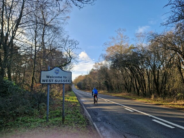
Administrative County: West Sussex
District: Chichester
Police Authority: Sussex
What 3 Words
///triads.cakewalk.sofas. Near Liphook, Hampshire
Nearby Locations
Related Wikis

Hollycombe Steam Collection
The Hollycombe Steam Collection is a collection of steam-powered vehicles, amusement rides, and attractions in South East England. It is based in West...

Milland
Milland is a village and civil parish in the Chichester district of West Sussex, England. It is situated north of the A272 road on the border with Hampshire...

Tuxlith Chapel
Tuxlith Chapel, also known as Milland Old Church, is a redundant Anglican church in the village of Milland, West Sussex, England (grid reference SU 825...

Linch
Linch is an Anglican parish, and a loose collection of hamlets that make up the civil parish of the same name in the Chichester District of West Sussex...

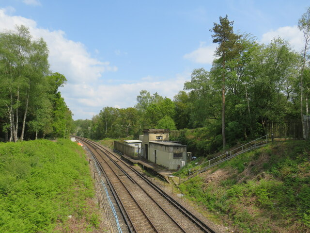
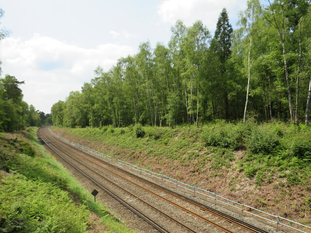
Liphook railway station
Liphook railway station serves the large village of Liphook, in Hampshire, England. It is on the Portsmouth Direct Line, 46 miles 67 chains (75.4 km) down...

Chapel Common
Chapel Common is a 101-hectare (250-acre) biological Site of Special Scientific Interest west of Fernhurst in West Sussex. A Roman road through the common...

Liphook
Liphook is a large village in the East Hampshire district of Hampshire, England. It is 4.1 miles (6.6 km) west of Haslemere, bypassed by the A3 road, and...
Forest Mere
Forest Mere is a 14.6-hectare (36-acre) biological Site of Special Scientific Interest north of Midhurst in West Sussex.The site consists of Folly Pond...
Nearby Amenities
Located within 500m of 51.052015,-0.79566223Have you been to Wardley Moor?
Leave your review of Wardley Moor below (or comments, questions and feedback).