Lea Wood
Wood, Forest in Lincolnshire West Lindsey
England
Lea Wood
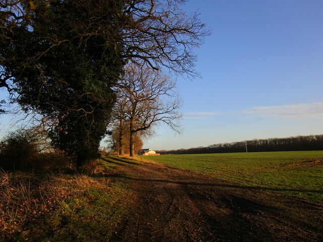
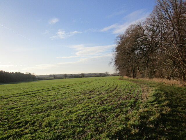
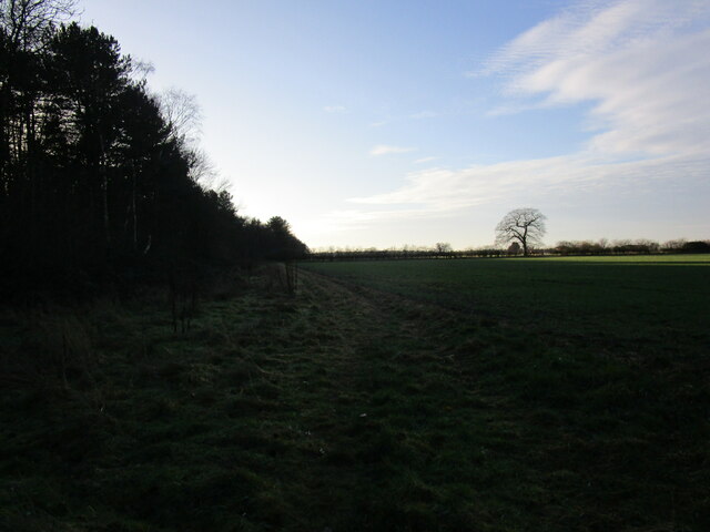
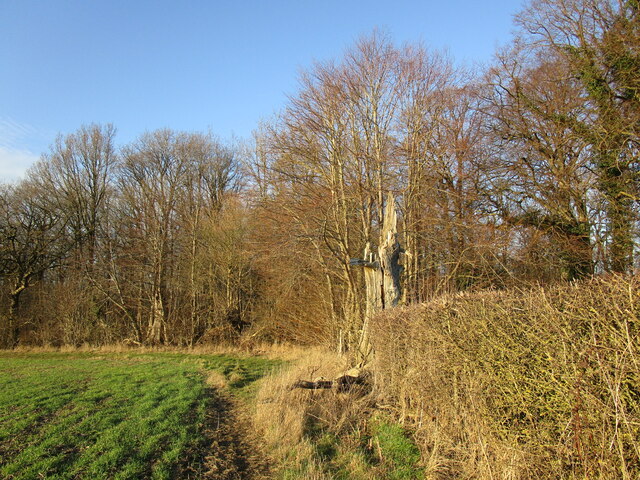
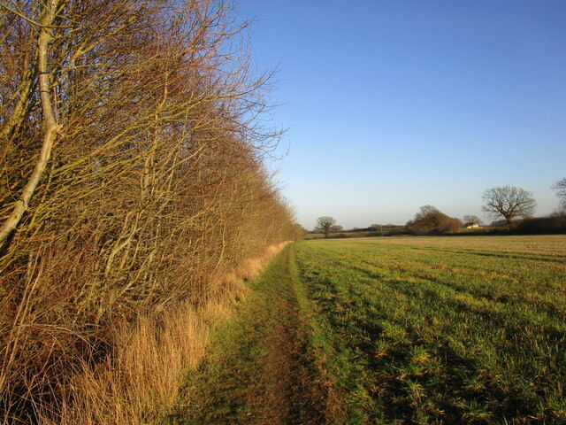
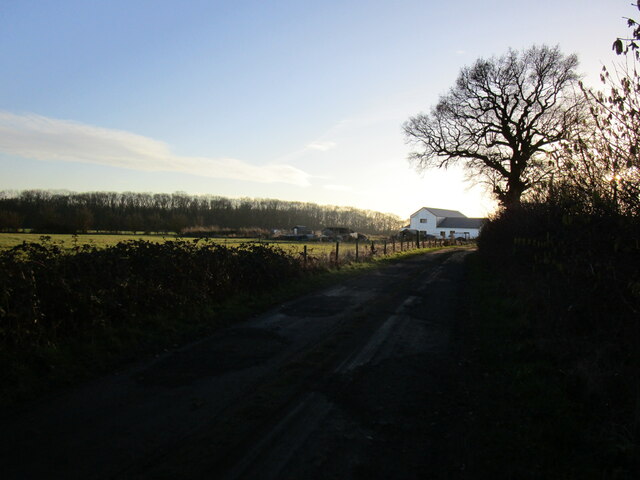
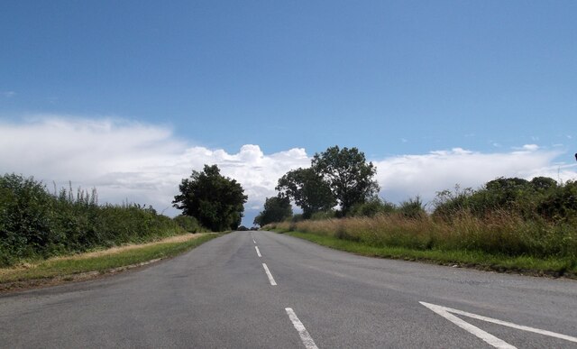
Lea Wood, located in Lincolnshire, England, is a charming and picturesque woodland area that attracts nature enthusiasts from near and far. Spanning over 60 hectares, this forested region offers a tranquil and serene atmosphere, making it an ideal destination for those seeking solace amidst nature.
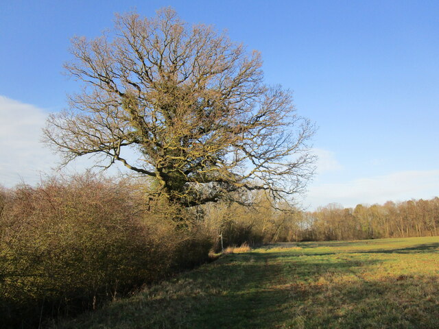
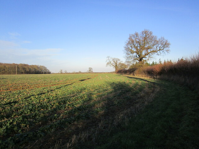
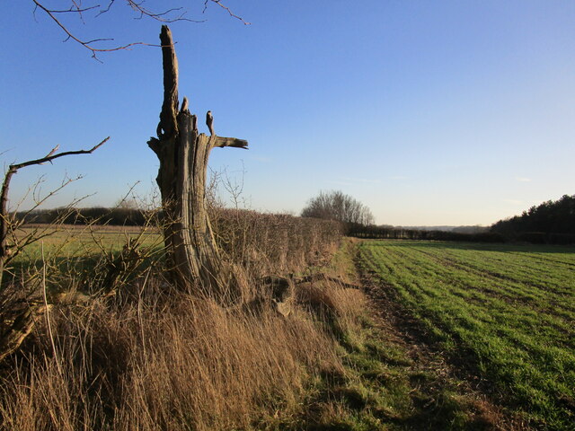
The woodland is predominantly composed of broadleaf trees, including oak, ash, and beech, which create a dense canopy overhead, providing shade and shelter to the diverse range of flora and fauna that inhabit the area. Bluebells, ferns, and wild garlic carpet the forest floor during spring, filling the air with a sweet and earthy fragrance.
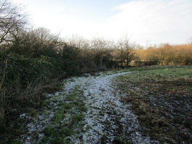
Lea Wood boasts several well-maintained walking trails, allowing visitors to explore the area at their own pace. These trails wind through the woodlands, providing glimpses of the various wildlife that call this place home. Birdwatchers can spot species such as woodpeckers, nuthatches, and tawny owls, while lucky visitors may even catch a glimpse of elusive mammals like badgers and deer.
In addition to its natural beauty, Lea Wood holds historical significance. The remains of an Iron Age hillfort can be found within the woodland, adding an element of intrigue and mystery to the site. Archaeological enthusiasts can explore these ancient remnants and imagine the lives of the people who once inhabited this area.
Overall, Lea Wood, Lincolnshire, offers a peaceful retreat for nature lovers, providing a beautiful and immersive experience in the heart of the English countryside.
If you have any feedback on the listing, please let us know in the comments section below.
Lea Wood Images
Images are sourced within 2km of 53.380294/-0.7414152 or Grid Reference SK8387. Thanks to Geograph Open Source API. All images are credited.


Lea Wood is located at Grid Ref: SK8387 (Lat: 53.380294, Lng: -0.7414152)
Administrative County: Lincolnshire
District: West Lindsey
Police Authority: Lincolnshire
What 3 Words
///pointed.suitable.automate. Near Gainsborough, Lincolnshire
Nearby Locations
Related Wikis

Battle of Gainsborough
The Battle of Gainsborough was a battle in the First English Civil War, fought on 28 July 1643. The strategically important town of Gainsborough, Lincolnshire...

Somerby by Gainsborough
Somerby (or Somerby by Gainsborough) is a hamlet in the West Lindsey district of Lincolnshire, England. It is situated 2 miles (3.2 km) south-east from...

Lea, Lincolnshire
Lea is a small village and civil parish in the West Lindsey district of Lincolnshire, England. The population of the civil parish at the 2011 census was...

A631 road
The A631 is a road running from Sheffield, South Yorkshire to Louth, Lincolnshire in England. It passes through the counties of South Yorkshire, Nottinghamshire...
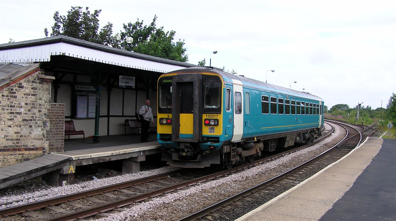
Gainsborough Lea Road railway station
Gainsborough Lea Road is one of two railway stations that serve the town of Gainsborough in Lincolnshire, England, the other being Gainsborough Central...

Lea railway station
Lea railway station was a station in Lea, Lincolnshire, England, south of Gainsborough. It was opened in 1849 by the Great Northern Railway, but was closed...

Gainsborough Rural District
Gainsborough was rural district in Lincolnshire, Parts of Lindsey from 1894 to 1974. It was formed under the Local Government Act 1894 from that part of...
Heynings Priory
Heynings Priory was a priory in Knaith, Lincolnshire, England. The priory of Heynings was founded by Rayner de Evermue, Lord of Knaith, for Cistercian...
Nearby Amenities
Located within 500m of 53.380294,-0.7414152Have you been to Lea Wood?
Leave your review of Lea Wood below (or comments, questions and feedback).