Lee Wood
Wood, Forest in Lincolnshire West Lindsey
England
Lee Wood
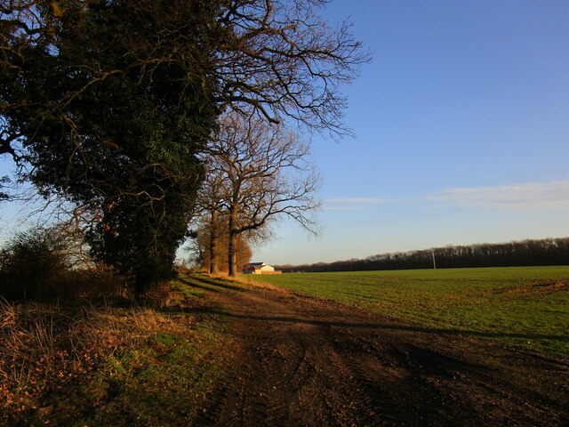
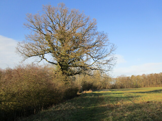
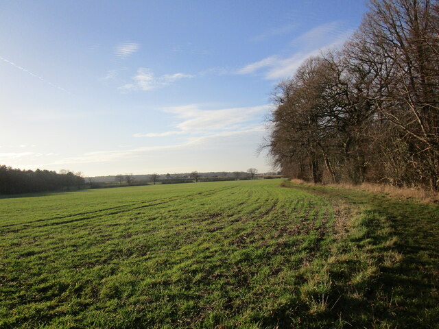
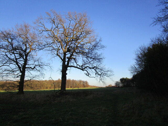
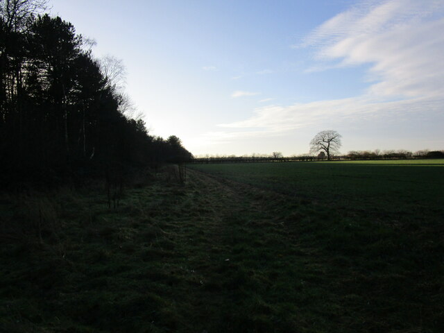
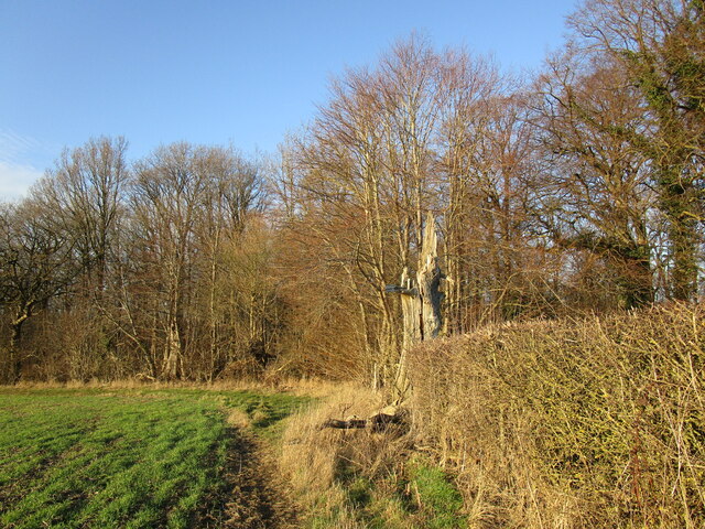
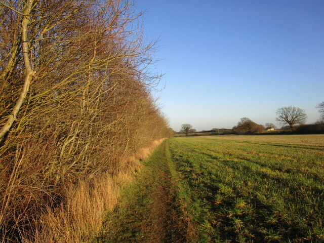
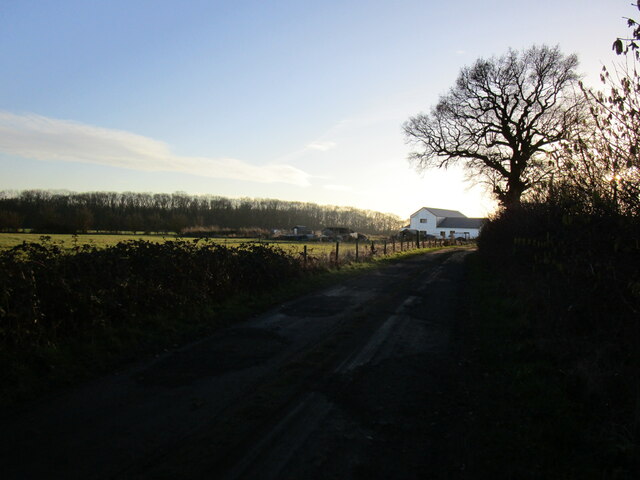
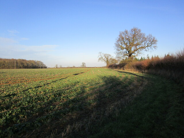
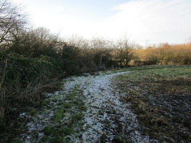
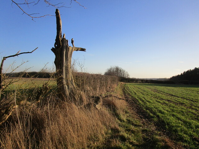
Lee Wood is a small forest located in Lincolnshire, England. It covers an area of approximately 500 acres and is situated near the village of Wood. The woodland consists mostly of broadleaf trees, including oak, ash, and beech, which create a diverse and rich habitat for various flora and fauna.
The forest is well-known for its scenic beauty and tranquil atmosphere, making it a popular destination for nature lovers and outdoor enthusiasts. Walking trails and pathways crisscross through the woodland, offering visitors the opportunity to explore its natural wonders. The forest also provides a haven for wildlife, with many species of birds, mammals, and insects calling it their home.
In addition to its natural attractions, Lee Wood holds historical significance. The forest has been documented as far back as the Domesday Book in 1086, indicating its long-standing presence in the area. Over the centuries, it has been used for timber production, providing a valuable resource for the local community.
Today, Lee Wood is managed by the Lincolnshire Wildlife Trust, which ensures its conservation and protection. The trust works to maintain the forest's biodiversity, carrying out essential tasks such as tree planting and invasive species management. They also organize educational programs and events to raise awareness about the importance of preserving this natural habitat.
Overall, Lee Wood in Lincolnshire offers a peaceful retreat for those seeking to connect with nature, while also offering a glimpse into the region's rich history and ecological significance.
If you have any feedback on the listing, please let us know in the comments section below.
Lee Wood Images
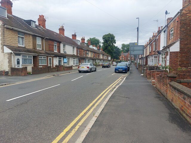
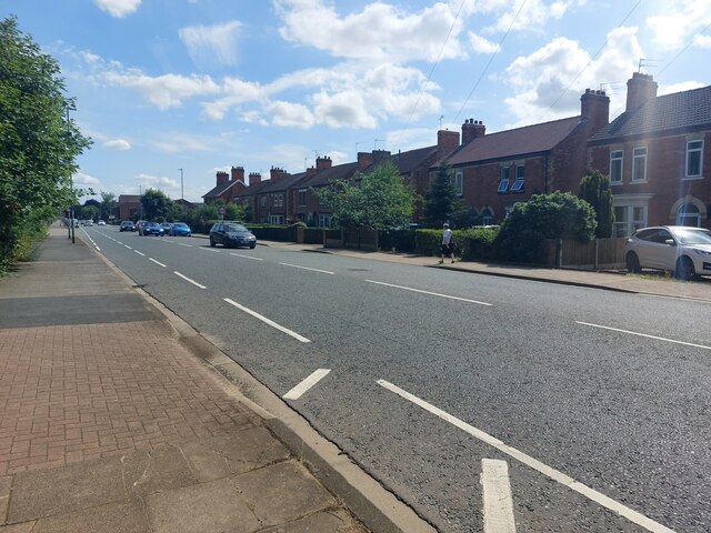
Images are sourced within 2km of 53.377517/-0.75266647 or Grid Reference SK8387. Thanks to Geograph Open Source API. All images are credited.


Lee Wood is located at Grid Ref: SK8387 (Lat: 53.377517, Lng: -0.75266647)
Administrative County: Lincolnshire
District: West Lindsey
Police Authority: Lincolnshire
What 3 Words
///section.cups.waggled. Near Gainsborough, Lincolnshire
Nearby Locations
Related Wikis

Battle of Gainsborough
The Battle of Gainsborough was a battle in the First English Civil War, fought on 28 July 1643. The strategically important town of Gainsborough, Lincolnshire...

Lea, Lincolnshire
Lea is a small village and civil parish in the West Lindsey district of Lincolnshire, England. The population of the civil parish at the 2011 census was...
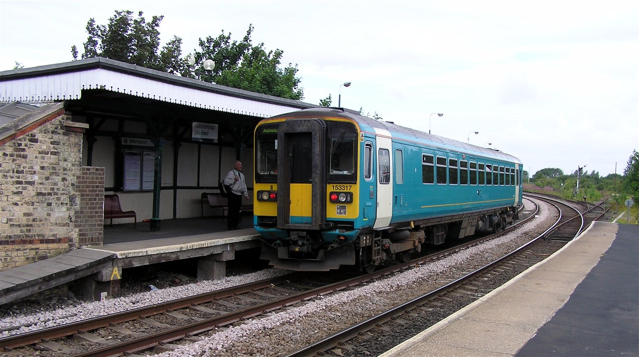
Gainsborough Lea Road railway station
Gainsborough Lea Road is one of two railway stations that serve the town of Gainsborough in Lincolnshire, England, the other being Gainsborough Central...

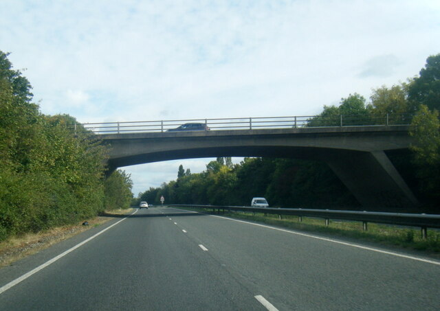
A631 road
The A631 is a road running from Sheffield, South Yorkshire to Louth, Lincolnshire in England. It passes through the counties of South Yorkshire, Nottinghamshire...

Somerby by Gainsborough
Somerby (or Somerby by Gainsborough) is a hamlet in the West Lindsey district of Lincolnshire, England. It is situated 2 miles (3.2 km) south-east from...

Lea railway station
Lea railway station was a station in Lea, Lincolnshire, England, south of Gainsborough. It was opened in 1849 by the Great Northern Railway, but was closed...

Trent Bridge, Gainsborough
Trent Bridge, Gainsborough is a road bridge crossing of the River Trent at Gainsborough, Lincolnshire. == History == The bridge was built by the civil...
Gainsborough Riverside Festival
Gainsborough Riverside Festival was an annual community Arts/Heritage event that runs on the second weekend of June in Gainsborough, Lincolnshire on the...
Nearby Amenities
Located within 500m of 53.377517,-0.75266647Have you been to Lee Wood?
Leave your review of Lee Wood below (or comments, questions and feedback).