Longlands Plantation

Wood, Forest in Surrey Waverley

England

Longlands Plantation

Gong Hill north of Millbridge At the entrance to Edgeborough School
Gong Hill north of Millbridge Credit: David Howard

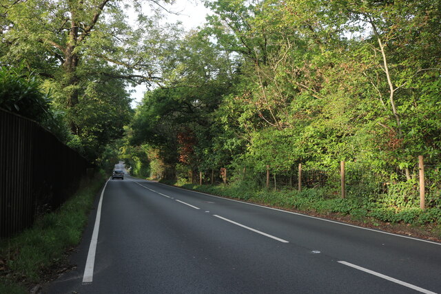
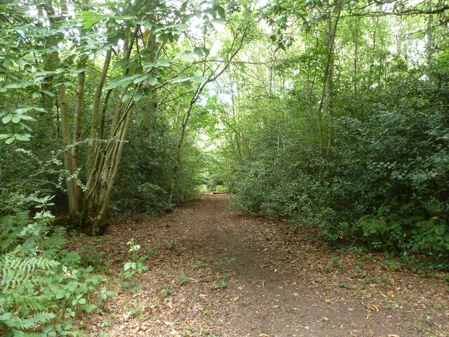
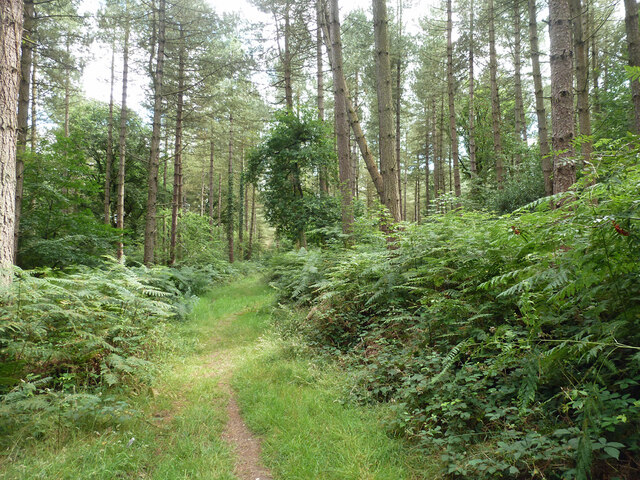
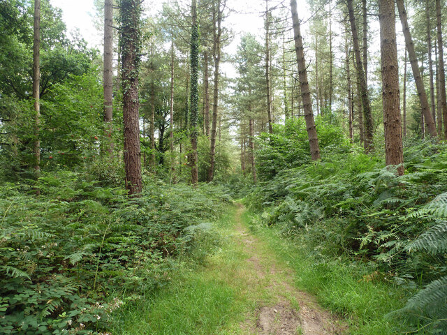
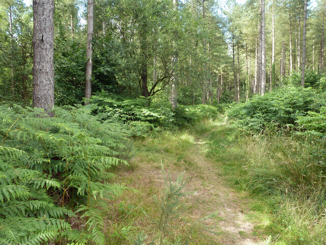
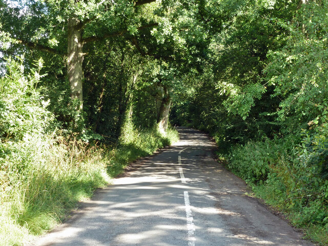
Longlands Plantation is a picturesque woodland area located in Surrey, England. Situated in the heart of the county, the plantation spans a vast area of lush greenery and is known for its diverse range of trees and flora.

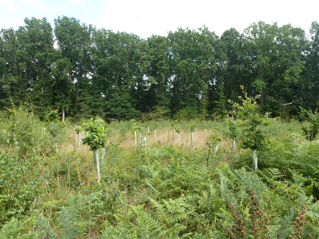
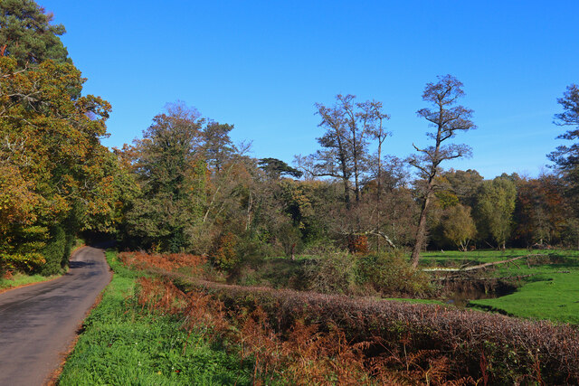
Covering approximately 100 acres, Longlands Plantation is a popular destination for nature enthusiasts and outdoor lovers. The woodland is home to a variety of tree species, including oak, beech, and birch, creating a beautiful and tranquil atmosphere. The forest floor is adorned with a vibrant carpet of wildflowers, adding to the charm and natural beauty of the area.

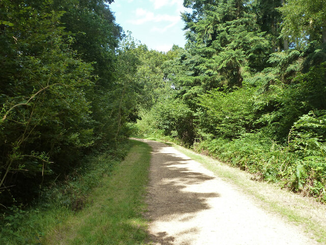
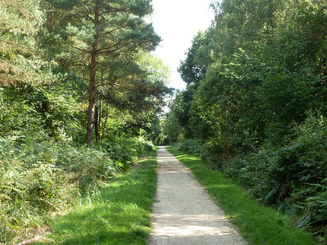
The plantation offers visitors a range of recreational activities, making it an ideal spot for families and individuals alike. Walking and hiking trails wind their way through the woodland, allowing visitors to explore and immerse themselves in the peaceful surroundings. There are also designated picnic areas, where visitors can relax and enjoy a meal while taking in the breathtaking scenery.

Longlands Plantation is not only a haven for nature lovers but also provides a habitat for a variety of wildlife. Birdwatchers can spot a range of avian species, including woodpeckers, owls, and various songbirds. Mammals such as deer, rabbits, and squirrels are also commonly seen within the woodland.

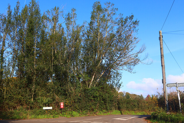
Managed by local authorities, Longlands Plantation is well-maintained and offers a safe and enjoyable environment for visitors. The plantation is easily accessible, with ample parking available, and is open to the public throughout the year. Whether one seeks a peaceful stroll, a family outing, or simply a connection with nature, Longlands Plantation in Surrey provides a delightful experience for all.

If you have any feedback on the listing, please let us know in the comments section below.

Longlands Plantation Images

Images are sourced within 2km of 51.171758/-0.80612089 or Grid Reference SU8342. Thanks to Geograph Open Source API. All images are credited.

Gong Hill north of Millbridge At the entrance to Edgeborough School
Gong Hill north of Millbridge
At the entrance to Edgeborough School
Gong Hill north of Millbridge
Frensham Road, Millbridge
View towards Gong Hill, Millbridge
Gong Hill entering Farnham
Path, Alice Holt Forest Heading south in the Glenbervie Inclosure part of the Forestry Commission woodland.
Path, Alice Holt Forest
Heading south in the Glenbervie Inclosure part of the Forestry Commission woodland.
Path, Alice Holt Forest Heading south in the Glenbervie Inclosure part of the Forestry Commission woodland.
Path, Alice Holt Forest
Heading south in the Glenbervie Inclosure part of the Forestry Commission woodland.
Path, Alice Holt Forest Heading south in the Glenbervie Inclosure part of the Forestry Commission woodland.
Path, Alice Holt Forest
Heading south in the Glenbervie Inclosure part of the Forestry Commission woodland.
Path, Alice Holt Forest Heading north in the Glenbervie Inclosure part of the Forestry Commission woodland.
Path, Alice Holt Forest
Heading north in the Glenbervie Inclosure part of the Forestry Commission woodland.
Replanted area, Glenbervie Inclosure, Alice Holt Forest They appear to be a species of oak.
Replanted area, Glenbervie Inclosure, Alice Holt Forest
They appear to be a species of oak.
Track, Alice Holt Forest In the Glenbervie Inclosure part of the Forestry Commission woodland.
Track, Alice Holt Forest
In the Glenbervie Inclosure part of the Forestry Commission woodland.
Path, Alice Holt Forest In the Glenbervie Inclosure part of the Forestry Commission woodland.
Path, Alice Holt Forest
In the Glenbervie Inclosure part of the Forestry Commission woodland.
Woodhill Lane Looking towards Spreakley,  away from its junction with Boundary Road.
Woodhill Lane
Looking towards Spreakley, away from its junction with Boundary Road.
A287 Frensham Main road through Frensham.
A287 Frensham
Main road through Frensham.
Kennel Lane Road junction near Millbridge.
Kennel Lane
Road junction near Millbridge.
Shortfield Common Road River running alongside the road.
Shortfield Common Road
River running alongside the road.
Frensham Common in sunshine
Frensham Common Along the A287, the war memorial is across the road
Frensham Common
Along the A287, the war memorial is across the road
Show me another place!

Longlands Plantation is located at Grid Ref: SU8342 (Lat: 51.171758, Lng: -0.80612089)

Administrative County: Surrey

District: Waverley

Police Authority: Surrey

What 3 Words

///mixing.breathing.knees. Near Churt, Surrey

Related Wikis

Frensham Heights School

Frensham Heights School is an independent school and sixth form college located near Farnham, Surrey, England, run by the registered charity, Frensham...

More House School, Frensham

More House School, Frensham, is an independent special school located in Surrey. It educates boys aged 8–19 who have learning difficulties. Its headmaster...

Pierrepont School, Frensham

Pierrepont School, Frensham, originally known as Pierrepont House School, was a private school in Surrey, England, with day pupils as well as boarders...

Frensham

Frensham is a village in Surrey, England, next to the A287 road, 13 miles (20.9 km) WSW of Guildford, the county town. Frensham lies on the right bank...

Nearby Amenities

Located within 500m of 51.171758,-0.80612089
Spreakley
Place: hamlet
Source: npe
Lat/Long: 51.1697728/-0.8013758
Broomfield
Building: yes
Source: npe
Lat/Long: 51.173438/-0.8106178
Barrier: stile
Lat/Long: 51.168112/-0.8070323
Barrier: stile
Lat/Long: 51.1681306/-0.8068513
Give Way
Lat/Long: 51.1708263/-0.8004046
Barrier: stile
Lat/Long: 51.1702934/-0.8094805
Barrier: stile
Lat/Long: 51.1675207/-0.8060209
Crossing: informal
Lat/Long: 51.1739933/-0.8043218
Barrier: stile
Lat/Long: 51.1724859/-0.8036116
Barrier: stile
Lat/Long: 51.1713812/-0.8021557
Barrier: stile
Lat/Long: 51.1708677/-0.8015165
Barrier: kissing_gate
Lat/Long: 51.1739213/-0.8043253
Barrier: stile
Lat/Long: 51.1721939/-0.8046923
Barrier: stile
Lat/Long: 51.1720906/-0.8034208
Barrier: stile
Lat/Long: 51.1720165/-0.802918
Barrier: stile
Lat/Long: 51.1730496/-0.8074808
Barrier: stile
Lat/Long: 51.1723555/-0.8049907
Give Way
Direction: backward
Lat/Long: 51.1731511/-0.8094045
Give Way
Direction: forward
Lat/Long: 51.1723205/-0.8131925
Give Way
Direction: forward
Lat/Long: 51.1733236/-0.8097961
The data included in this document is from www.openstreetmap.org. The data is made available under ODbL.

Have you been to Longlands Plantation?

Leave your review of Longlands Plantation below (or comments, questions and feedback).