Ashley Hill Forest

Wood, Forest in Berkshire

England

Ashley Hill Forest

Redroofs, Ivor Novello's former home Also see <span class="nowrap"><a title="https://en.wikipedia.org/wiki/Ivor_Novello" rel="nofollow ugc noopener" href="https://en.wikipedia.org/wiki/Ivor_Novello">Link</a><img style="margin-left:2px;" alt="External link" title="External link - shift click to open in new window" src="https://s1.geograph.org.uk/img/external.png" width="10" height="10"/></span>
Redroofs, Ivor Novello's former home Credit: Basher Eyre

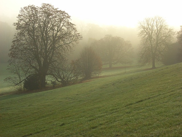
Ashley Hill Forest, located in Berkshire, England, is a picturesque woodland covering an area of approximately 100 acres. The forest is situated on the outskirts of the town of Ashley Hill and is easily accessible by both car and public transportation. It is a popular destination for nature enthusiasts, hikers, and families seeking a tranquil escape from the hustle and bustle of everyday life.

The forest boasts a diverse range of flora and fauna, with towering oak, beech, and birch trees dominating the landscape. The dense canopy provides shade and shelter for an array of wildlife, including deer, foxes, and a wide variety of bird species. Visitors can enjoy the soothing sounds of bird songs and the rustling of leaves as they explore the well-maintained network of walking trails that crisscross the forest.

The forest is also home to a small lake, adding to its natural beauty. The lake is a haven for various aquatic creatures, including ducks and swans, and provides a serene spot for visitors to relax and appreciate the tranquil surroundings.

Ashley Hill Forest offers several amenities to enhance visitors' experience. Picnic areas are scattered throughout the woodland, providing a perfect spot for a family lunch or a peaceful break. Additionally, there are designated camping areas for those who wish to immerse themselves in nature for longer periods.

Overall, Ashley Hill Forest in Berkshire is a haven of natural beauty, offering visitors a chance to reconnect with nature and enjoy the peacefulness and serenity of the woodland environment.

If you have any feedback on the listing, please let us know in the comments section below.

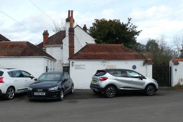
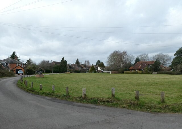
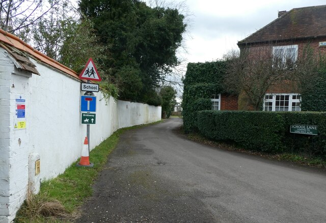
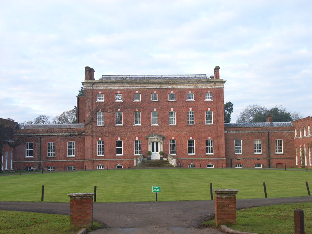
Ashley Hill Forest Images

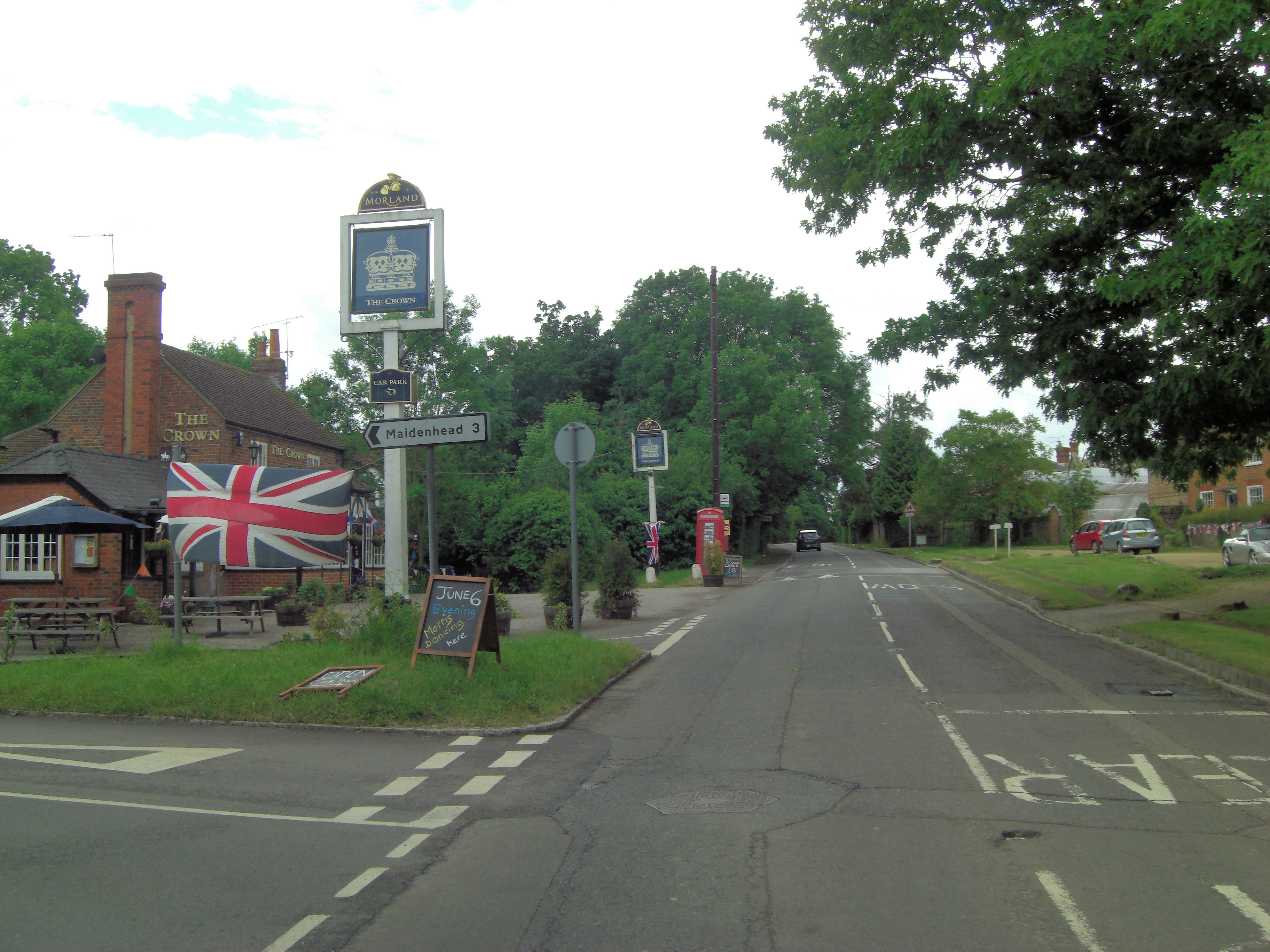
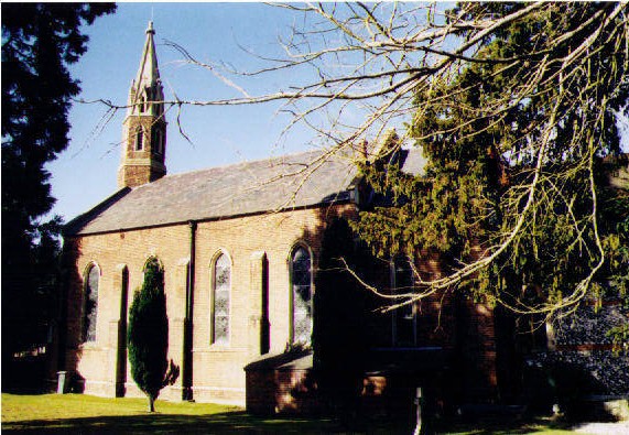
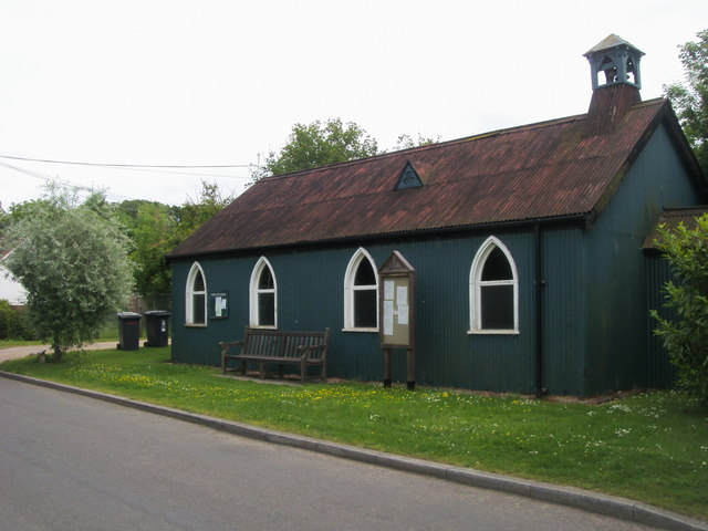
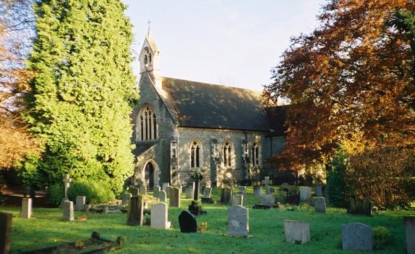
Images are sourced within 2km of 51.521412/-0.80916659 or Grid Reference SU8280. Thanks to Geograph Open Source API. All images are credited.

Redroofs, Ivor Novello's former home Also see <span class="nowrap"><a title="https://en.wikipedia.org/wiki/Ivor_Novello" rel="nofollow ugc noopener" href="https://en.wikipedia.org/wiki/Ivor_Novello">Link</a><img style="margin-left:2px;" alt="External link" title="External link - shift click to open in new window" src="https://s1.geograph.org.uk/img/external.png" width="10" height="10"/></span>
Redroofs, Ivor Novello's former home
Also see LinkExternal link
Looking down Knowl Hill Common towards Bath Road
Traffic jam in Littlewick Green The traditional view of a village green is a mowed space on which cricket matches are played, and maypoles are danced around, with well-placed benches, serving as a meeting place and forming the heart of a rural community. The origin of the village green lies in customary rights. Though technically originally a trespass, or carried out with the permission of the Lord of the manor, these rights became customary and enforceable through the courts.In the 19th century, it was the practice of Inclosure Commissioners to allot parcels of land to the villagers themselves. The Commons Registration Act of 1965  identified three classes of greens. Once registered, they could never be built upon
Traffic jam in Littlewick Green
The traditional view of a village green is a mowed space on which cricket matches are played, and maypoles are danced around, with well-placed benches, serving as a meeting place and forming the heart of a rural community. The origin of the village green lies in customary rights. Though technically originally a trespass, or carried out with the permission of the Lord of the manor, these rights became customary and enforceable through the courts.In the 19th century, it was the practice of Inclosure Commissioners to allot parcels of land to the villagers themselves. The Commons Registration Act of 1965 identified three classes of greens. Once registered, they could never be built upon
Looking south-southeast in School Lane
Looking towards the Royal Oak on Knowl Hill Common
St Peter, Knowl Hill: early February 2022
St Peter, Knowl Hill: churchyard
Junction on the A4, Knowl Hill Star Lane is on the left
Junction on the A4, Knowl Hill
Star Lane is on the left
Star Lane at the junction of Bath Road
Bowsey Hill to Knowl Hill and Star Works sand pit: aerial 2016
Star Works sand pit: aerial 2016
Minor Rural Road Bottle Lane has passing places.
Minor Rural Road
Bottle Lane has passing places.
Access Road to Orchard Farm Rapeseed field next to farmhouse.
Access Road to Orchard Farm
Rapeseed field next to farmhouse.
Doing up the old Seven Stars After several years of standing empty and looking very run down, the old Seven Stars pub and its outbuildings are at last being renovated.
Sad to see all these pubs going, but at least it's an improvement on this view from 2014 <a href="https://www.geograph.org.uk/photo/4200140">SU8279 : Stable block to former Seven Stars pub</a>
Now, according to the sign, it's "Two delightful properties converted from the former Coach House to an exacting specification"
What old stuff these agents do talk....
Doing up the old Seven Stars
After several years of standing empty and looking very run down, the old Seven Stars pub and its outbuildings are at last being renovated. Sad to see all these pubs going, but at least it's an improvement on this view from 2014 SU8279 : Stable block to former Seven Stars pub Now, according to the sign, it's "Two delightful properties converted from the former Coach House to an exacting specification" What old stuff these agents do talk....
New trees around the pit An old sand pit is being used for landfill. There's not a lot to see behind these earth banks, and when the trees have grown there will be even less. 
Although these specimens don't look too healthy.
New trees around the pit
An old sand pit is being used for landfill. There's not a lot to see behind these earth banks, and when the trees have grown there will be even less. Although these specimens don't look too healthy.
Landfill Pit Entrance An old quarry is being used for waste disposal.
Landfill Pit Entrance
An old quarry is being used for waste disposal.
Littlewick Green - School in School Lane
Littlewick Green - Newly Developed Detached House
Show me another place!

Ashley Hill Forest is located at Grid Ref: SU8280 (Lat: 51.521412, Lng: -0.80916659)

Unitary Authority: Windsor and Maidenhead

Police Authority: Thames Valley

What 3 Words

///react.mixes.pass. Near Hurley, Berkshire

Nearby Locations

Ashley Hill Forest

Related Wikis

Berkshire College of Agriculture

Berkshire College of Agriculture is a further education agricultural college at Hall Place in Burchetts Green, Maidenhead, Berkshire. It was founded in...

Burchetts Green

Burchetts Green is a small village to the west of Maidenhead in the English county of Berkshire. It is half in the civil parish of Hurley and half in the...

Knowl Hill

Knowl Hill is a village in the civil parish of Hurley in Berkshire, England. It is 5 miles (8 km) west of Maidenhead on the A4 road toward Reading. In...

Warren Row

Warren Row is a village in Berkshire, England, and part of the civil parish of Hurley. The settlement lies between the A321 road, A4 and A4130 roads, and...

Littlewick Green

Littlewick Green is a village in the north of civil parish of White Waltham (where the 2011 Census was included) and the south of the civil parish of Hurley...

Hurley Chalk Pit

Hurley Chalk Pit is a 1-hectare (2.5-acre) nature reserve west of Maidenhead in Berkshire. It is managed by the Berkshire, Buckinghamshire and Oxfordshire...

Stubbings

Stubbings is a hamlet in the civil parish of Bisham, west of Maidenhead, in the English county of Berkshire. Stubbings House mansion was very briefly the...

Temple Golf Club

Temple Golf Club is a golf club located in Hurley, Berkshire, England. It is about 2 miles northwest of Maidenhead. It was opened in 1910. The course was...

Nearby Amenities

Located within 500m of 51.521412,-0.80916659
The data included in this document is from www.openstreetmap.org. The data is made available under ODbL.

Have you been to Ashley Hill Forest?

Leave your review of Ashley Hill Forest below (or comments, questions and feedback).