Ashley Clinton
Settlement in Hampshire New Forest
England
Ashley Clinton

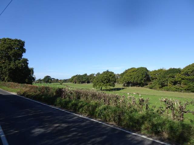
Ashley Clinton is a small village located in the county of Hampshire, England. Situated in the picturesque countryside, it is surrounded by rolling hills, lush green fields, and charming rural landscapes. The village is part of the East Hampshire district and lies approximately 14 miles east of the city of Winchester.
Ashley Clinton is a tight-knit community with a population of around 300 residents. The village is known for its peaceful atmosphere and friendly locals. It offers a tranquil escape from the hustle and bustle of city life, providing a serene environment for those looking to enjoy a slower pace of living.
The village itself features a few amenities to cater to the needs of its residents. These include a local pub, a small convenience store, and a post office. Although limited in terms of facilities, the village benefits from its close proximity to nearby towns and cities, such as Alton and Petersfield, where more extensive services can be found.
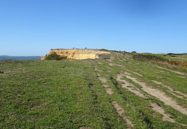
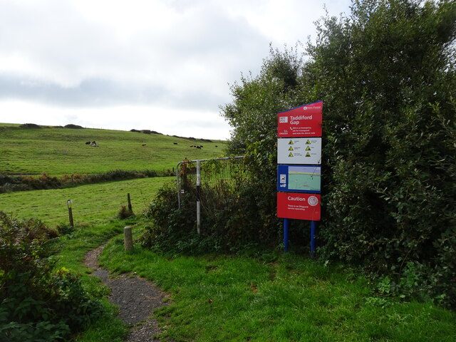
For outdoor enthusiasts, Ashley Clinton offers numerous opportunities for exploration and outdoor activities. The surrounding countryside provides ample space for walking, hiking, and cycling. The village is also within easy reach of the South Downs National Park, a designated Area of Outstanding Natural Beauty, which offers breathtaking vistas and a variety of recreational activities.
With its idyllic setting, welcoming community, and access to beautiful natural surroundings, Ashley Clinton, Hampshire, is a charming village that appeals to those seeking a peaceful countryside lifestyle.
If you have any feedback on the listing, please let us know in the comments section below.
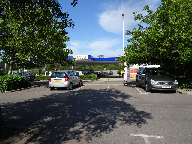
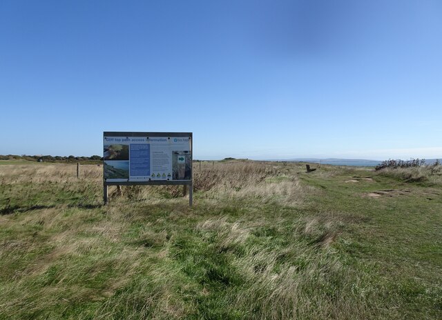
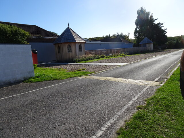
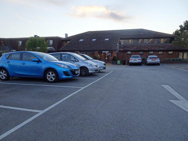
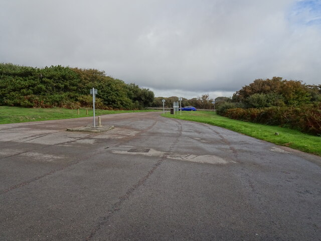
Ashley Clinton Images
Images are sourced within 2km of 50.736036/-1.632931 or Grid Reference SZ2693. Thanks to Geograph Open Source API. All images are credited.


Ashley Clinton is located at Grid Ref: SZ2693 (Lat: 50.736036, Lng: -1.632931)
Administrative County: Hampshire
District: New Forest
Police Authority: Hampshire
What 3 Words
///fittingly.giggle.crest. Near Milford on Sea, Hampshire
Nearby Locations
Related Wikis

Downton, Hampshire
Downton is a hamlet in Hampshire, England, clustered around a crossroads on the A337 road (Lymington to New Milton) with a lane to the sea southwards whilst...

Barton on Sea
Barton on Sea (often hyphenated as Barton-on-Sea) is a cliff-top village in Hampshire, England close to the town New Milton, which is its civil parish...
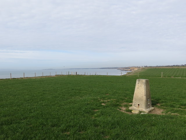
Milford on Sea LNR
Milford on Sea LNR is a 20.6-hectare (51-acre) local nature reserve in Milford on Sea in Hampshire. It is owned and managed by Milford On Sea Parish Council...
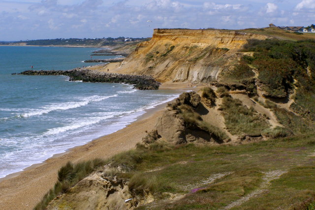
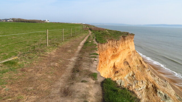
Highcliffe to Milford Cliffs
Highcliffe to Milford Cliffs is a 110.1-hectare (272-acre) geological Site of Special Scientific Interest which stretches along the south coast of England...

Ashley, New Forest
Ashley is a village located in the southwest of Hampshire, England. It lies on the eastern outskirts of New Milton in the New Forest district, and is two...

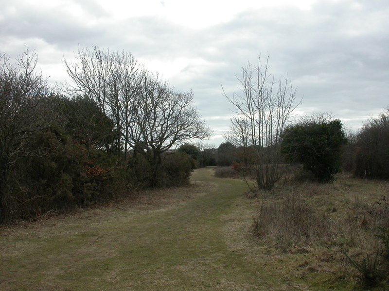
Solent Way
The Solent Way is a 60-mile (97 km) long-distance footpath in Hampshire, southern England. With the exception of a few inland diversions, the path follows...
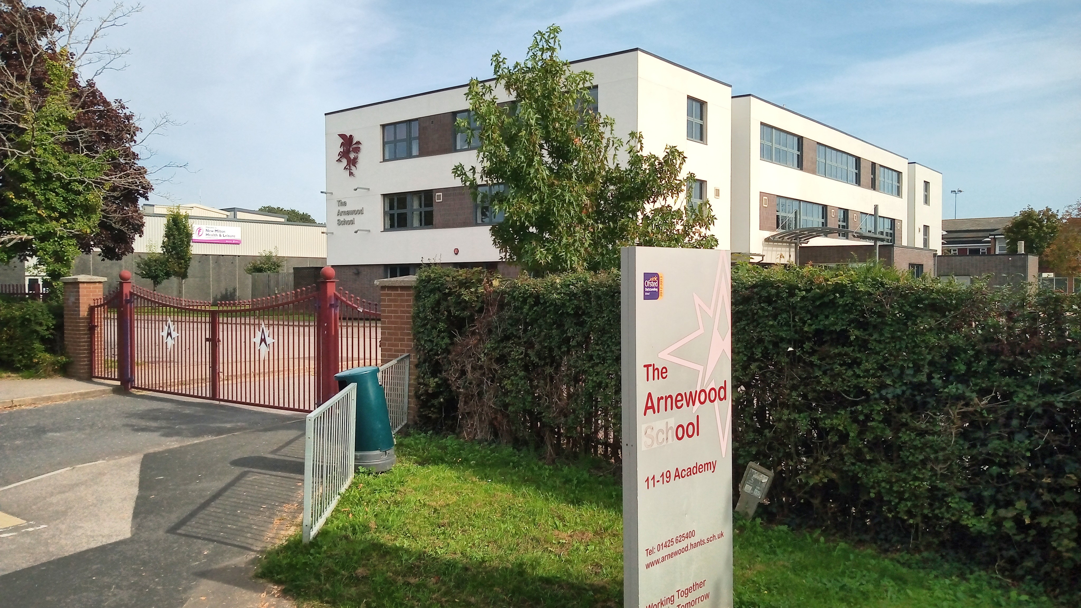
The Arnewood School
The Arnewood School is a mixed secondary school and sixth form located in New Milton in the English county of Hampshire.The school was converted to academy...

Hordle
Hordle is a village and civil parish in the county of Hampshire, England. It is situated between the Solent coast and the New Forest, and is bordered by...
Nearby Amenities
Located within 500m of 50.736036,-1.632931Have you been to Ashley Clinton?
Leave your review of Ashley Clinton below (or comments, questions and feedback).