Lowther Wood

Wood, Forest in Yorkshire Ryedale

England

Lowther Wood

Newbridge Quarry entrance There's a rather inconvenient footpath alongside the entrance road, which is not ideal with large lorries frequently passing on weekdays.
Newbridge Quarry entrance Credit: Colin Grice

Lowther Wood, located in Yorkshire, is a captivating forest that stretches across a vast area of land. It is renowned for its stunning natural beauty and rich biodiversity. The wood is tucked away in a secluded valley, providing a peaceful and tranquil escape from the hustle and bustle of everyday life.

The forest boasts an array of towering trees, including oak, beech, and ash, which create a dense canopy overhead. These trees, some of which are centuries old, contribute to the wood's unique and enchanting atmosphere. In spring, the forest floor is adorned with a vibrant carpet of bluebells, adding a splash of color to the surroundings.

Lowther Wood is home to a diverse range of wildlife, making it a haven for nature enthusiasts. Visitors may spot deer, foxes, and various species of birds, such as woodpeckers and owls. The wood also supports an abundance of flora, with a variety of wildflowers, ferns, and mosses thriving in the damp and shaded areas.

For those seeking outdoor activities, Lowther Wood offers numerous hiking trails that wind through its picturesque landscapes. These trails cater to all levels of fitness and provide an opportunity to explore the forest's hidden treasures. The wood also features picnic areas and designated spots for camping, allowing visitors to fully immerse themselves in the natural surroundings.

Lowther Wood is a true gem in Yorkshire, offering a peaceful retreat for nature lovers and a chance to reconnect with the beauty of the natural world. Its breathtaking scenery, diverse wildlife, and recreational opportunities make it a must-visit destination for anyone seeking solace in nature's embrace.

If you have any feedback on the listing, please let us know in the comments section below.

Lowther Wood Images

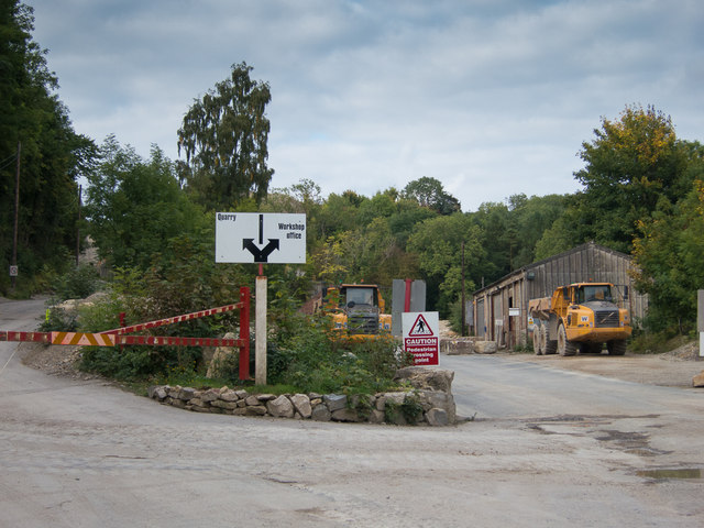
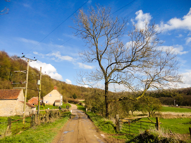
Images are sourced within 2km of 54.256618/-0.76669092 or Grid Reference SE8085. Thanks to Geograph Open Source API. All images are credited.

Newbridge Quarry entrance There's a rather inconvenient footpath alongside the entrance road, which is not ideal with large lorries frequently passing on weekdays.
Newbridge Quarry entrance
There's a rather inconvenient footpath alongside the entrance road, which is not ideal with large lorries frequently passing on weekdays.
Newbridge Quarry  From by the public footpath
Newbridge Quarry
From by the public footpath
Office near the workshops at Newbridge Quarry The footpath is directed to the left of the building.
Office near the workshops at Newbridge Quarry
The footpath is directed to the left of the building.
Entrance to main quarry area Newbridge Quarry.
Entrance to main quarry area
Newbridge Quarry.
Weighbridge at Newbridge Quarry Lorries are required to be weighed before entering and when leaving loaded.
Weighbridge at Newbridge Quarry
Lorries are required to be weighed before entering and when leaving loaded.
Park Gate near Newbridge View from passing steam train
Park Gate near Newbridge
View from passing steam train
Pickering's new flood defences View from passing steam train
Pickering's new flood defences
View from passing steam train
New Bridge level crossing
Over  fields  on  High  Scalla  Moor Little Park Wood to the right
Over fields on High Scalla Moor
Little Park Wood to the right
A  misty  scene  from  Scalla  Moor  Plantation The footpath keeps to the western edge of the plantation
A misty scene from Scalla Moor Plantation
The footpath keeps to the western edge of the plantation
Track  in  Little  Park  Wood.  Autumn  leaves (1) To the right as you take the footpath out of Newton Dale up on to Scalla Moor
Track in Little Park Wood. Autumn leaves (1)
To the right as you take the footpath out of Newton Dale up on to Scalla Moor
Track  in  Little  Park  Wood.  Autumn  leaves (2) To the right of the footpath
Track in Little Park Wood. Autumn leaves (2)
To the right of the footpath
Spring has Sprung, Park Gate
Pickering Wood A sign upon entering this track states Duchy of Lancaster, Pickering Wood.
Pickering Wood
A sign upon entering this track states Duchy of Lancaster, Pickering Wood.
Pickering Wood, Duchy of Lancaster
View north from Woodland Poultry Farm
Park Gate Track & Footpath Lovely valley/dale which is great for getting close to the steam trains that run along the NYMR.
Park Gate Track & Footpath
Lovely valley/dale which is great for getting close to the steam trains that run along the NYMR.
NYMR & Little Park Wood North Yorkshire Moors Railway line heading out of Pickering.
NYMR & Little Park Wood
North Yorkshire Moors Railway line heading out of Pickering.
Show me another place!

Lowther Wood is located at Grid Ref: SE8085 (Lat: 54.256618, Lng: -0.76669092)

Division: North Riding

Administrative County: North Yorkshire

District: Ryedale

Police Authority: North Yorkshire

What 3 Words

///headers.rugs.continued. Near Pickering, North Yorkshire

Related Wikis

Newbridge, North Yorkshire

Newbridge is a hamlet, near Pickering in North Yorkshire, England.
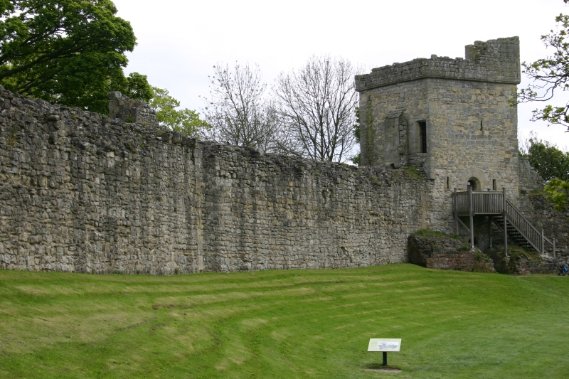
Pickering Castle

Pickering Castle is a motte-and-bailey fortification in Pickering, North Yorkshire, England. The original castle was made of timber, and the later stone...

Lady Lumley's School

Lady Lumley's School is a coeducational secondary school and sixth form located in Pickering, North Yorkshire, England. It was founded in Thornton-le-Dale...

Pickering railway station

Pickering railway station is the southern terminus of the North Yorkshire Moors Railway and serves the town of Pickering in North Yorkshire, England. The...

Nearby Amenities

Located within 500m of 54.256618,-0.76669092
Crossing Barrier: full
Railway: level_crossing
Supervised: yes
Lat/Long: 54.2578212/-0.7690254
Crossing: uncontrolled
Railway: crossing
Lat/Long: 54.2565532/-0.77079
Barrier: kissing_gate
Lat/Long: 54.2566907/-0.7678868
Crossing: uncontrolled
Railway: level_crossing
Lat/Long: 54.2572485/-0.7698282
Railway: buffer_stop
Lat/Long: 54.2580447/-0.7687695
Railway: switch
Lat/Long: 54.2586819/-0.7678687
Railway: switch
Lat/Long: 54.2589187/-0.767594
Railway: switch
Switch: three_way
Lat/Long: 54.2589234/-0.7675315
Railway: switch
Lat/Long: 54.2591029/-0.7672709
Post Box
Post Box Type: lamp
Lat/Long: 54.2573259/-0.7695105
Woodland Poultry Farm
Place: farm
Lat/Long: 54.2602016/-0.7660416
Parking
Parking: layby
Surface: gravel
Lat/Long: 54.2574205/-0.7694185
Railway: switch
Lat/Long: 54.2593794/-0.7667735
Railway: switch
Lat/Long: 54.2591228/-0.767299
Newbridge
Place: locality
Source: OS-OpenData_StreetView_2016_04;https://www.openstreetmap.org/note/2694011
Lat/Long: 54.2574175/-0.7689658
Description: Lowther Butts
Information: board
Tourism: information
Lat/Long: 54.2562264/-0.7699958
Bench
Lat/Long: 54.2543465/-0.7724066
Waste Basket
Lat/Long: 54.2572903/-0.7695515
Generator Method: photovoltaic
Generator Output Electricity: yes
Generator Source: solar
Generator Type: solar_photovoltaic_panel
Power: generator
Lat/Long: 54.2565059/-0.7705736
The data included in this document is from www.openstreetmap.org. The data is made available under ODbL.

Have you been to Lowther Wood?

Leave your review of Lowther Wood below (or comments, questions and feedback).