Ashley

Settlement in Wiltshire Cotswold

England

Ashley

Stone Stile, Culkerton From the Northern side of the A433 on Gloucestershire footpath NCH9 looking to the road. The view from the road is <a href="https://www.geograph.org.uk/photo/7228263">ST9296 : Stone Stile, Culkerton</a>.
Stone Stile, Culkerton Credit: Lenneke Jansens

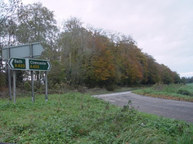
Ashley is a picturesque village located in the county of Wiltshire, England. Situated approximately 5 miles southwest of the town of Tetbury and 12 miles northwest of the city of Chippenham, Ashley is nestled in the heart of the stunning Cotswolds region.

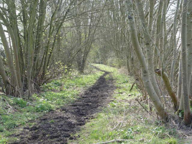
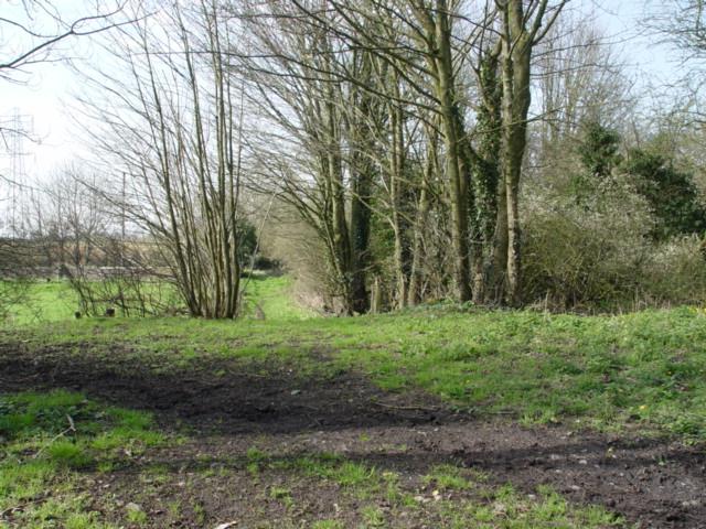
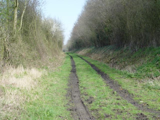
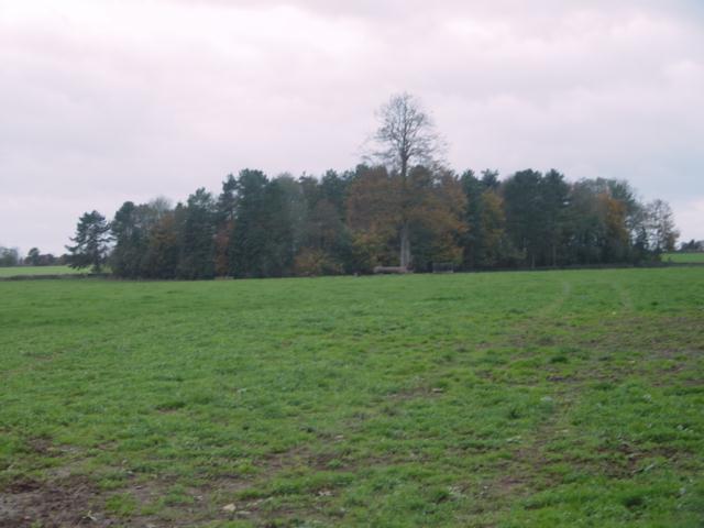
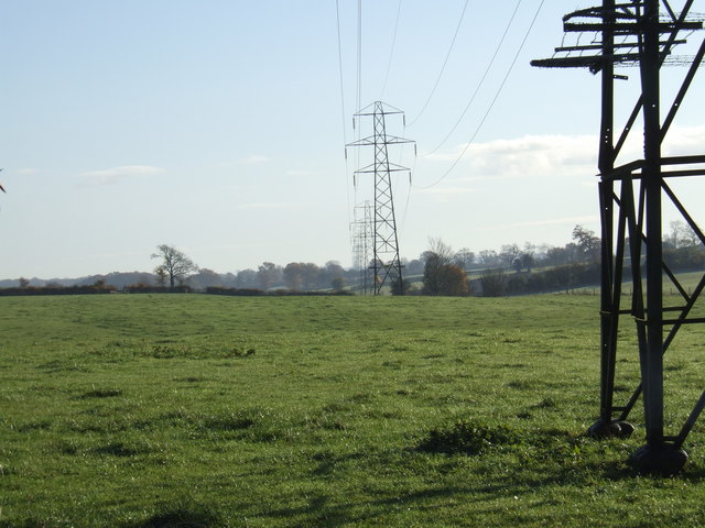
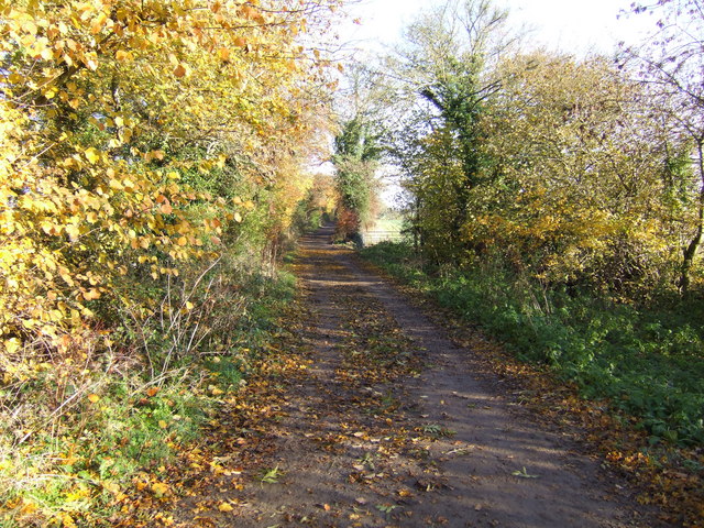
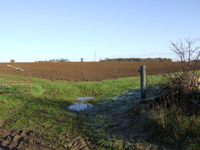
The village is known for its idyllic rural setting, surrounded by rolling hills, lush green countryside, and quintessential English landscapes. It boasts a charming collection of traditional stone cottages, many of which date back several centuries, adding to the village's timeless appeal.

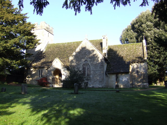
Ashley is home to a close-knit community, with a population of around 500 residents. The village features a historic parish church, St. Giles, which stands as a focal point and holds regular services. There is also a village hall that serves as a hub for social events and community gatherings.

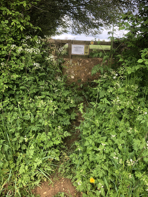
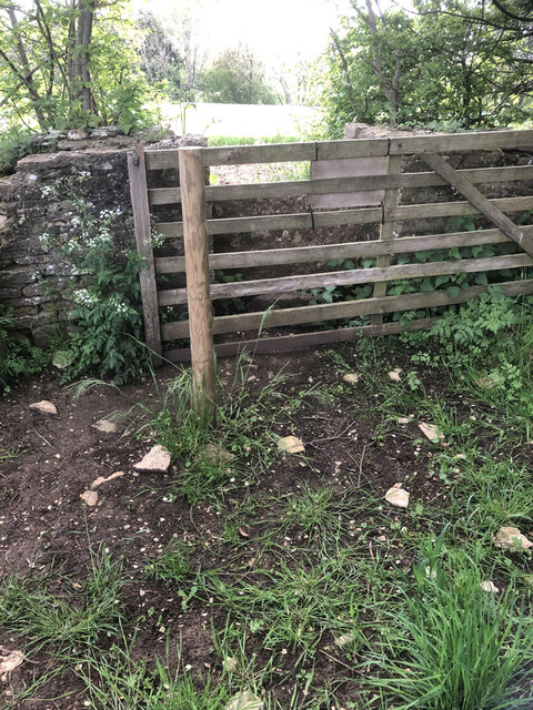
The surrounding area offers ample opportunities for outdoor activities, such as hiking, cycling, and horse riding, with several public footpaths and bridleways crisscrossing the countryside. The nearby Westonbirt Arboretum, famous for its stunning collection of trees and vibrant autumn foliage, is a popular attraction for both locals and visitors.

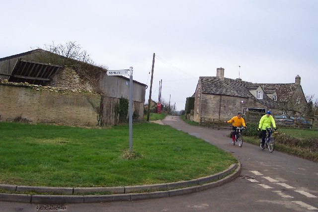
While Ashley is a primarily residential village, it benefits from its proximity to larger towns and cities, providing residents with access to a range of amenities, including schools, shops, and healthcare facilities. The village also benefits from good transportation links, with nearby road connections and public transport options, allowing for easy commuting to neighboring towns and cities.

Overall, Ashley offers a tranquil and picturesque setting, making it an ideal place for those seeking a peaceful village lifestyle amidst the beauty of the English countryside.

If you have any feedback on the listing, please let us know in the comments section below.
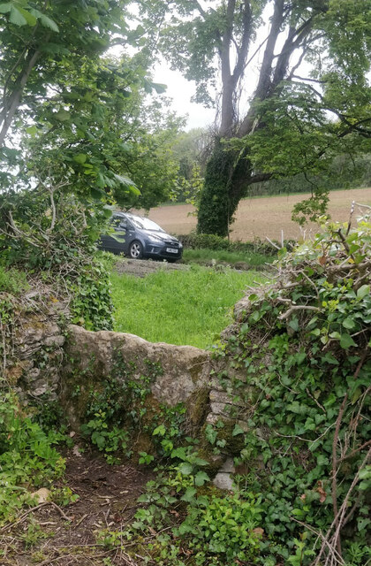
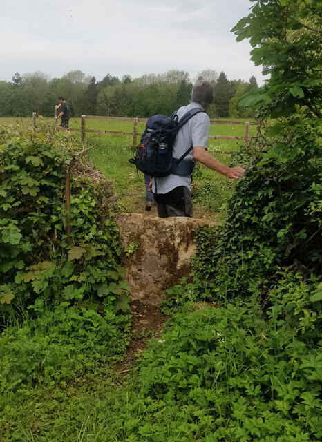
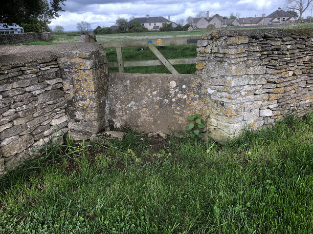
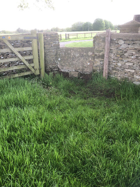
Ashley Images

Images are sourced within 2km of 51.652417/-2.0996588 or Grid Reference ST9394. Thanks to Geograph Open Source API. All images are credited.

Stone Stile, Culkerton From the Northern side of the A433 on Gloucestershire footpath NCH9 looking to the road. The view from the road is <a href="https://www.geograph.org.uk/photo/7228263">ST9296 : Stone Stile, Culkerton</a>.
Stone Stile, Culkerton
From the Northern side of the A433 on Gloucestershire footpath NCH9 looking to the road. The view from the road is ST9296 : Stone Stile, Culkerton.
Stone Stile, Culkerton From the Northern side of the A433 on Gloucestershire footpath NCH9 looking to the road. The view from the road is <a href="https://www.geograph.org.uk/photo/7228261">ST9296 : Stone Stile, Culkerton</a>.
Stone Stile, Culkerton
From the Northern side of the A433 on Gloucestershire footpath NCH9 looking to the road. The view from the road is ST9296 : Stone Stile, Culkerton.
Stone Stile, Culkerton On Gloucestershire footpath NAS1 across Holt Farm looking South to the village. The view North is <a href="https://www.geograph.org.uk/photo/7233049">ST9295 : Stone Stile, Culkerton</a>.
Stone Stile, Culkerton
On Gloucestershire footpath NAS1 across Holt Farm looking South to the village. The view North is ST9295 : Stone Stile, Culkerton.
Stone Stile, Culkerton On Gloucestershire footpath NAS1 across Holt Farm looking North away from the village. The view South is <a href="https://www.geograph.org.uk/photo/7233045">ST9295 : Stone Stile, Culkerton</a>.
Stone Stile, Culkerton
On Gloucestershire footpath NAS1 across Holt Farm looking North away from the village. The view South is ST9295 : Stone Stile, Culkerton.
Stone Stile, Culkerton On Gloucestershire footpath NAS1 leading from the A433 to Culkerton Village. This view looks SE towards the village. The view looking NW to the disused Kemble to Tetbury branch line is <a href="https://www.geograph.org.uk/photo/7233146">ST9296 : Stone Stile, Culkerton</a>.
Stone Stile, Culkerton
On Gloucestershire footpath NAS1 leading from the A433 to Culkerton Village. This view looks SE towards the village. The view looking NW to the disused Kemble to Tetbury branch line is ST9296 : Stone Stile, Culkerton.
Stone Stile, Culkerton On Gloucestershire footpath NAS1 leading from the A433 to Culkerton Village. This view looks NW to the disused Kemble to Tetbury branch line. The view looking towards the village is <a href="https://www.geograph.org.uk/photo/7233144">ST9296 : Stone Stile, Culkerton</a>.
Stone Stile, Culkerton
On Gloucestershire footpath NAS1 leading from the A433 to Culkerton Village. This view looks NW to the disused Kemble to Tetbury branch line. The view looking towards the village is ST9296 : Stone Stile, Culkerton.
Culkerton Junction at the northern end of Culkerton looking south, the turn to Ashley going left. Note the old fashioned phonebox.
Culkerton
Junction at the northern end of Culkerton looking south, the turn to Ashley going left. Note the old fashioned phonebox.
Trouble House Inn Trouble House Inn on the A433 near Tetbury Gloucestershire this photo was taken from the Tetbury to Kemble G.W.R branch line
Trouble House Inn
Trouble House Inn on the A433 near Tetbury Gloucestershire this photo was taken from the Tetbury to Kemble G.W.R branch line
Trouble House Halt Trouble House Halt on the former G.W.R Kemble to Tetbury branch looking from the halt towards Tetbury
Trouble House Halt
Trouble House Halt on the former G.W.R Kemble to Tetbury branch looking from the halt towards Tetbury
Trouble House Halt Trouble House Halt on the former G.W.R Kemble to Tetbury branch looking from the halt towards the A433 Tetbury the Inn is obscured by the trees.
Trouble House Halt
Trouble House Halt on the former G.W.R Kemble to Tetbury branch looking from the halt towards the A433 Tetbury the Inn is obscured by the trees.
Tetbury Branch Line Near Culkerton Former Tetbury to Kemble G.W.R track bed looking towards Culkerton Station.
Tetbury Branch Line Near Culkerton
Former Tetbury to Kemble G.W.R track bed looking towards Culkerton Station.
Road Junction A433 near Culkerton
Woodland near Culkerton
Great Larkhill Farm Farm Buildings from the junction of the lane to Ashley and the farm track
Great Larkhill Farm
Farm Buildings from the junction of the lane to Ashley and the farm track
Pylons marching easterly Across the fields the 132kv circuit pylons march .View over the hedge from the lane to Ashley
Pylons marching easterly
Across the fields the 132kv circuit pylons march .View over the hedge from the lane to Ashley
Ashley Church Next to the manor this fine Norman church has interesting monuments inside and Norman carving on the exterior.
Ashley Church
Next to the manor this fine Norman church has interesting monuments inside and Norman carving on the exterior.
Fosse Gate Looking North Easterly along the arrow straight Roman Fosse Way, from Fosse Gate
Fosse Gate
Looking North Easterly along the arrow straight Roman Fosse Way, from Fosse Gate
Field from Withy Bed Early morning frost on the newly ploughed field .Gateway view up the rise from the lane at Withy Bed.Wall boundary on the right
Field from Withy Bed
Early morning frost on the newly ploughed field .Gateway view up the rise from the lane at Withy Bed.Wall boundary on the right
Show me another place!

Ashley is located at Grid Ref: ST9394 (Lat: 51.652417, Lng: -2.0996588)

Administrative County: Gloucestershire

District: Cotswold

Police Authority: Gloucestershire

What 3 Words

///shoulders.soon.mergers. Near Tetbury, Gloucestershire

Nearby Locations

Ashley

Related Wikis

Church of St James, Ashley

The Anglican Church of St James at Ashley in the Cotswold District of Gloucestershire, England was built in the Norman period and rebuilt around 1200....

Ashley, Gloucestershire

Ashley is a village and civil parish in the Cotswold district of Gloucestershire, England, about 8 miles south-west of Cirencester. According to the 2001...

Church's Hill Halt railway station

Church's Hill Halt railway station served the village of Ashley, Gloucestershire, England, from 1959 to 1964 on the Tetbury Branch Line. == History... ==

Culkerton Halt railway station

Culkerton Halt railway station served the hamlet of Culkerton, Gloucestershire, England, from 1889 to 1964 on the Tetbury Branch Line. == History == The...

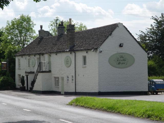
Trouble House Halt railway station

Trouble House Halt was a small station on the Tetbury branch line between Kemble and Tetbury between 1959 and 1964, when the line closed as part of the...

Trull House

Trull House is a Grade II listed country house near the hamlet of Trull, to the north of the village of Ashley and about 3.4 miles (5.5 km) northeast of...

Rodmarton Platform railway station

Rodmarton Platform was a railway station serving the village of Rodmarton on the Tetbury branch line between Cirencester and Tetbury in Gloucestershire...
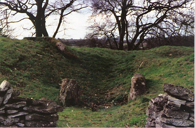
Windmill Tump

Windmill Tump, also known as Rodmarton Chambered Tomb, is a Neolithic burial site, a stone tumulus or barrow. It is a mound covering the site of graves...

Nearby Amenities

Located within 500m of 51.652417,-2.0996588
Post Box
Collection Times: Mo-Fr 09:00; Sa 07:00; Su off
Drive Through: no
Operator: Royal Mail
Post Box Type: wall
Ref: GL8 170
Royal Cypher: VR
Royal Cypher Wikidata: Q33102356
Source: survey
Lat/Long: 51.6524867/-2.0997513
Telephone
Booth: K6
Covered: booth
Listed Status: Grade II
Operator: BT
Operator Wikidata: Q593786
Phone: +44 1666 577312
Wikidata: Q26670339
Lat/Long: 51.6525306/-2.0997602
Power: pole
Lat/Long: 51.6513429/-2.0982613
Power: pole
Lat/Long: 51.6507088/-2.0977758
Power: pole
Lat/Long: 51.6500747/-2.0972796
Power: pole
Lat/Long: 51.6494457/-2.0968048
Power: pole
Lat/Long: 51.6488191/-2.0963193
The data included in this document is from www.openstreetmap.org. The data is made available under ODbL.

Have you been to Ashley?

Leave your review of Ashley below (or comments, questions and feedback).