Ash Plantation
Wood, Forest in Yorkshire
England
Ash Plantation
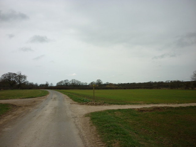
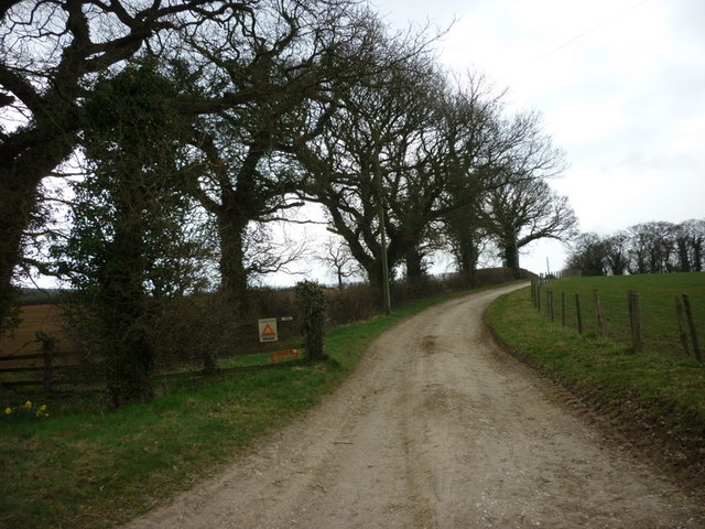
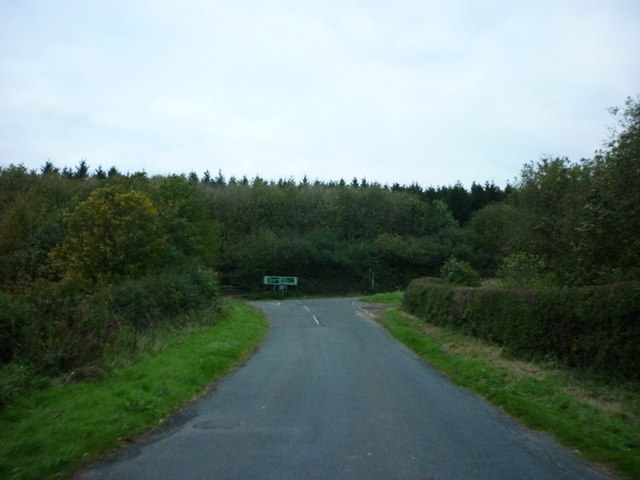
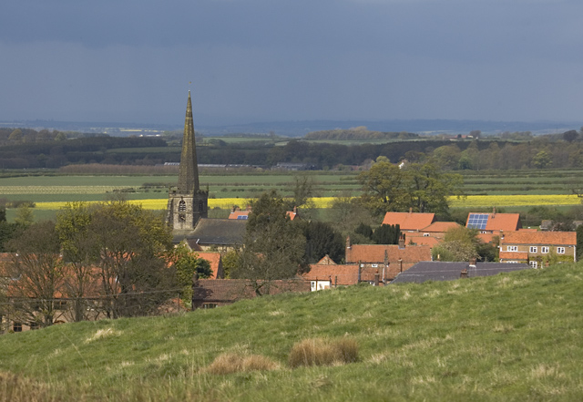
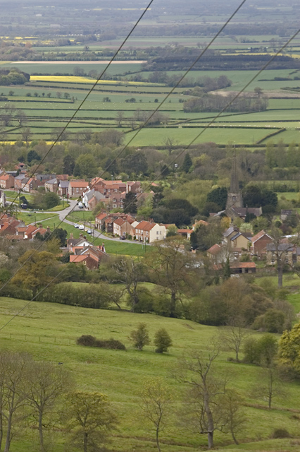
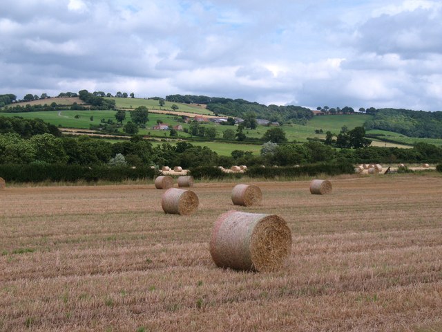
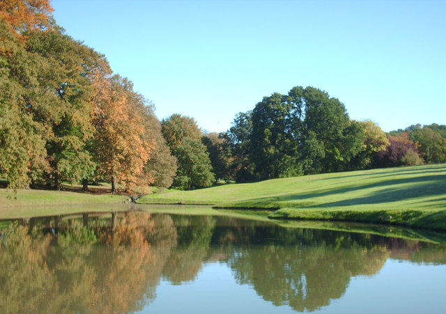
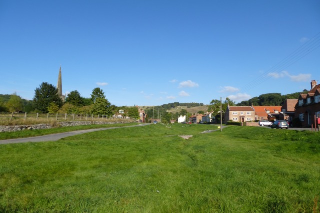
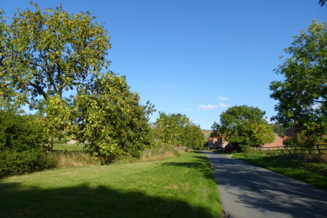
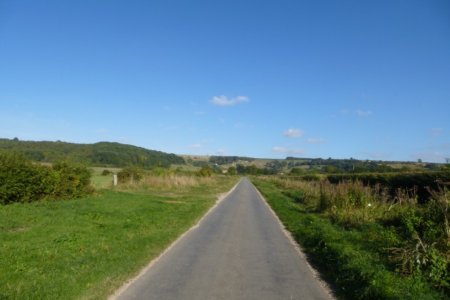
Ash Plantation is a picturesque woodland located in Yorkshire, England. Situated in the heart of the county, it covers an expansive area of land, making it one of the largest plantations in the region. The woodland is primarily composed of ash trees, which give it its name, and is renowned for its stunning natural beauty.
The plantation boasts a rich biodiversity, with various flora and fauna species thriving within its boundaries. The towering ash trees provide a dense canopy, creating a tranquil and secluded environment for both visitors and wildlife. The forest floor is adorned with a vibrant carpet of ferns, bluebells, and other wildflowers, adding to the charm of the woodland.
Visitors to Ash Plantation can enjoy a range of activities, such as hiking, birdwatching, and nature photography. The well-maintained trails meander through the forest, offering stunning views of the surrounding landscape. Bird enthusiasts will have the opportunity to spot a diverse array of species, including woodpeckers, owls, and various songbirds.
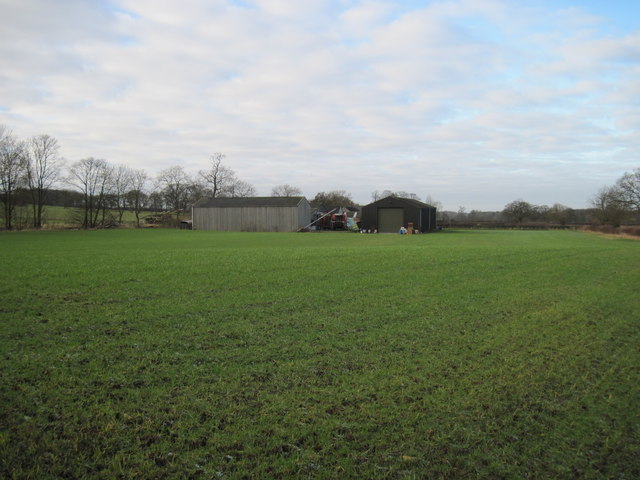
Ash Plantation is also a haven for wildlife, with mammals such as deer, foxes, and squirrels making their home within its boundaries. The woodland provides a crucial habitat for these creatures, offering them protection and sustenance.
Overall, Ash Plantation is a beloved natural gem in Yorkshire. Its lush greenery, diverse wildlife, and serene atmosphere make it an ideal destination for nature lovers and those seeking solace in the great outdoors.
If you have any feedback on the listing, please let us know in the comments section below.
Ash Plantation Images
Images are sourced within 2km of 54.002689/-0.78464504 or Grid Reference SE7956. Thanks to Geograph Open Source API. All images are credited.
Ash Plantation is located at Grid Ref: SE7956 (Lat: 54.002689, Lng: -0.78464504)
Division: East Riding
Unitary Authority: East Riding of Yorkshire
Police Authority: Humberside
What 3 Words
///outhouse.jaunts.depth. Near Kirby Underdale, East Yorkshire
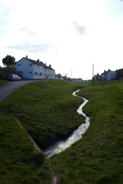
Nearby Locations
Related Wikis

Garrowby
Garrowby is a hamlet in the East Riding of Yorkshire, England. It is situated approximately 5 miles (8 km) north of Pocklington town centre. It lies to...
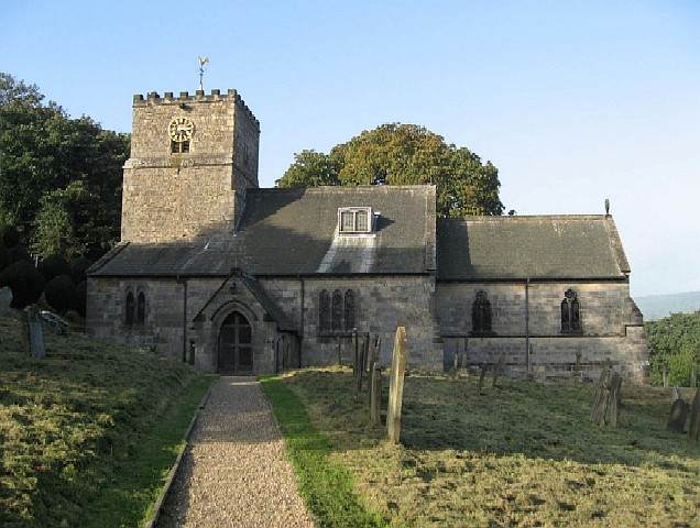
Kirby Underdale
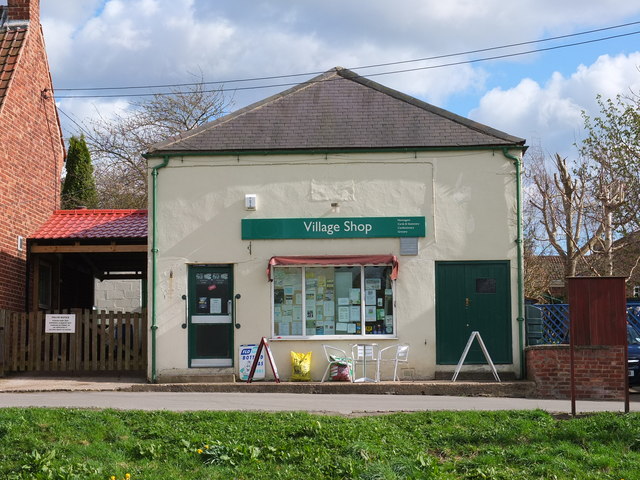
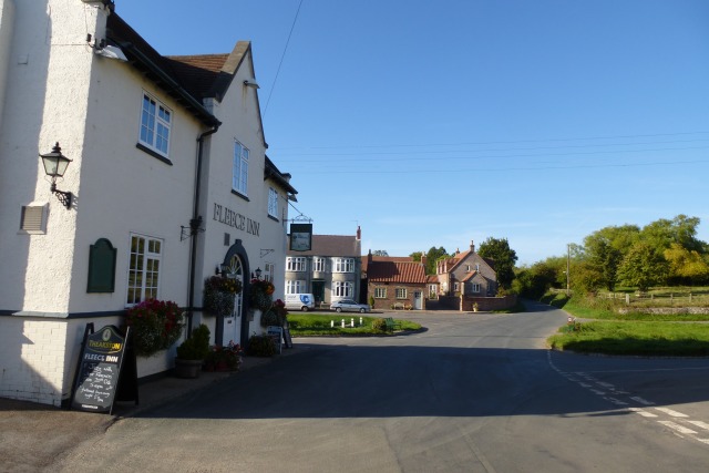
Kirby Underdale is a village and civil parish in the East Riding of Yorkshire, England. It is situated approximately six miles (ten kilometres) north...
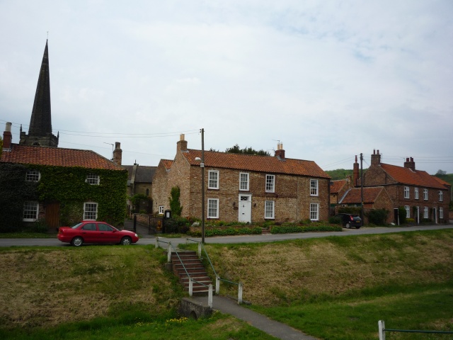
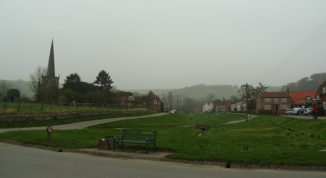
Bishop Wilton
Bishop Wilton is a small village and civil parish in the East Riding of Yorkshire, England. It is situated approximately 4 miles (6 km) north of Pocklington...

Painsthorpe Abbey
Painsthorpe Abbey was a short-lived monastery of the Anglican Order of St. Benedict. It was established in 1902 at Painsthorpe in the East Riding of Yorkshire...

Painsthorpe
Painsthorpe is a hamlet in the East Riding of Yorkshire, England. It is located about 1 mile (1.6 km) east of the village of Kirby Underdale, the area...
Bishop Wilton Wold
Bishop Wilton Wold is the highest point of the Yorkshire Wolds in the East Riding of Yorkshire, England. The summit, known as Garrowby Hill, lies about...

Uncleby
Uncleby is a hamlet in the East Riding of Yorkshire, England. It forms part of the civil parish of Kirby Underdale. It is situated approximately 6.5 miles...

Bugthorpe
Bugthorpe is a village and civil parish in the East Riding of Yorkshire, England, about 11 miles (18 km) east of York and 16 miles (26 km) west of Driffield...
Nearby Amenities
Located within 500m of 54.002689,-0.78464504Have you been to Ash Plantation?
Leave your review of Ash Plantation below (or comments, questions and feedback).