Bell's Plantation
Wood, Forest in Leicestershire Melton
England
Bell's Plantation

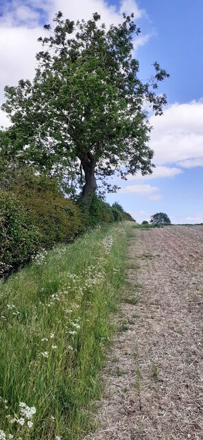
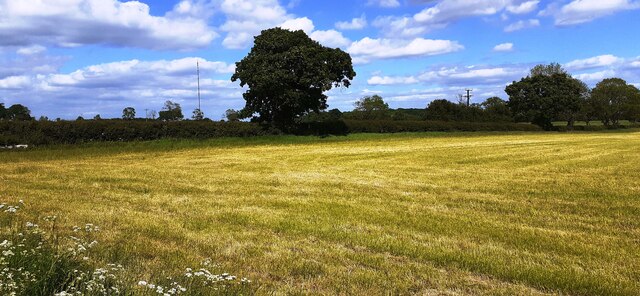
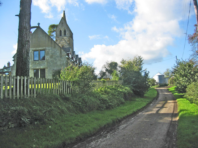
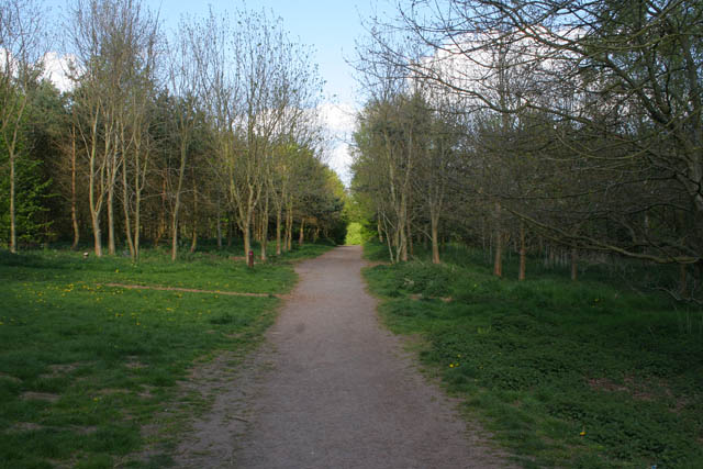
Bell's Plantation is a picturesque woodland located in Leicestershire, England. Situated within the Wood district, the plantation offers a serene and captivating environment for nature enthusiasts and outdoor lovers alike. Spanning across a vast area, Bell's Plantation is a part of the wider Forest landscape of Leicestershire.
This woodland is characterized by its dense canopy of trees, primarily consisting of oak, beech, and birch. The diverse range of tree species creates a vibrant and ever-changing color palette throughout the seasons. The woodland floor is adorned with an array of wildflowers, ferns, and mosses, adding to the enchanting beauty of this natural habitat.
Bell's Plantation boasts a network of well-maintained walking trails that allow visitors to explore its hidden treasures. These trails meander through the woodland, providing glimpses of local wildlife such as deer, squirrels, and a variety of bird species. The peaceful ambiance of the plantation makes it an ideal spot for birdwatching and photography.
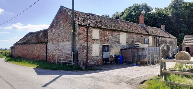
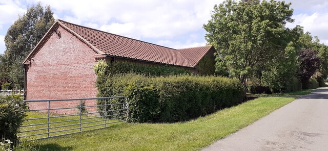
The plantation also offers recreational activities such as picnicking and nature walks, making it a popular destination for families, couples, and individuals seeking solace in nature. The management of the woodland ensures the preservation of its ecological integrity, making it an important site for biodiversity conservation in Leicestershire.
Overall, Bell's Plantation is a haven of tranquility and natural beauty, offering visitors a chance to immerse themselves in the wonders of a Leicestershire woodland. Whether it's a leisurely stroll, a picnic with loved ones, or a birdwatching adventure, this plantation has something to offer for everyone who appreciates the splendor of nature.
If you have any feedback on the listing, please let us know in the comments section below.
Bell's Plantation Images
Images are sourced within 2km of 52.776108/-0.83373167 or Grid Reference SK7820. Thanks to Geograph Open Source API. All images are credited.


Bell's Plantation is located at Grid Ref: SK7820 (Lat: 52.776108, Lng: -0.83373167)
Administrative County: Leicestershire
District: Melton
Police Authority: Leicestershire
What 3 Words
///resist.code.complains. Near Melton Mowbray, Leicestershire
Nearby Locations
Related Wikis

Freeby
Freeby is a village and civil parish in the Melton district of Leicestershire, England, about 3 miles (5 km) east of Melton Mowbray. As well as the village...
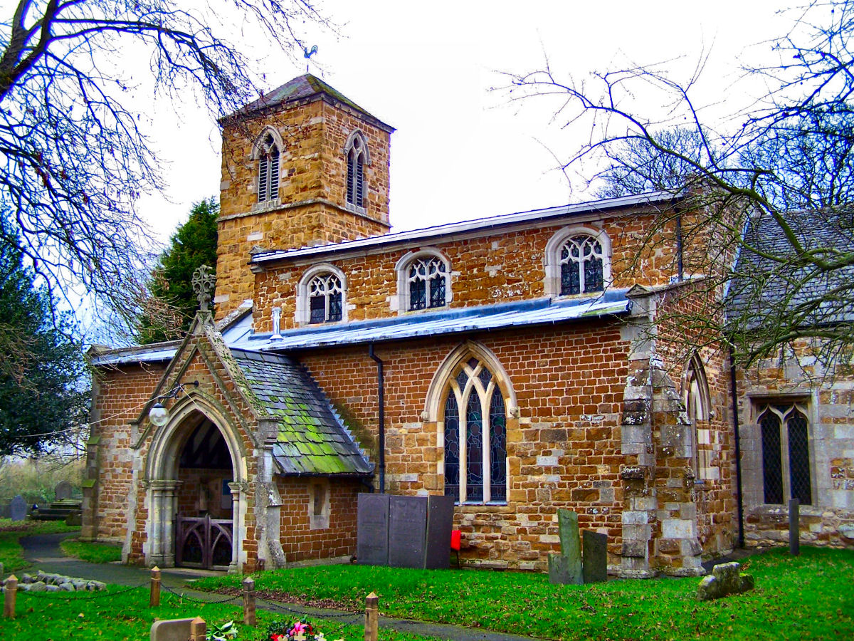
St Mary's Church, Brentingby
St Mary's Church is a redundant Anglican church in the village of Brentingby, Leicestershire, England. The walls of the church required renovation when...
Thorpe Arnold
Thorpe Arnold is a farming village and former civil parish, now in the parish of Waltham on the Wolds and Thorpe Arnold in the district of Melton, which...

Twinlakes Theme Park
Twinlakes is a theme park located 0.5 miles (0.75 kilometres) north-east of Melton Mowbray, Leicestershire, England.The park was opened in September 2003...

River Eye SSSI
River Eye SSSI is a 6.0 hectares (15 acres) biological Site of Special Scientific Interest covering a stretch of the River Eye between Ham Bridge, north...

Saxby railway station
Saxby railway station was a station serving the villages of Saxby and Freeby, Leicestershire. It was located between the two villages. == Access == The...
Brentingby
Brentingby is a village in Leicestershire, England.The population is included in the civil parish of Freeby. The village's name means either 'farm/settlement...
Melton Country Park
Melton Country Park is a country park in Melton Mowbray, Leicestershire, England. == Facilities == The park has a visitor centre, cafe, sensory garden...
Nearby Amenities
Located within 500m of 52.776108,-0.83373167Have you been to Bell's Plantation?
Leave your review of Bell's Plantation below (or comments, questions and feedback).