Brentingby Wood
Wood, Forest in Leicestershire Melton
England
Brentingby Wood

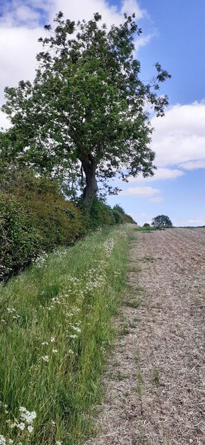
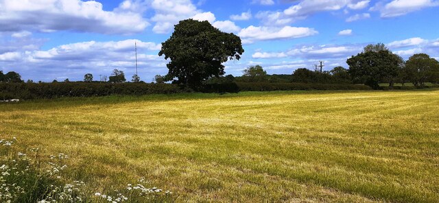
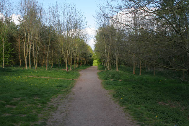
Brentingby Wood is a picturesque woodland located in Leicestershire, England. Covering an area of approximately 100 acres, it is a popular destination for nature lovers and outdoor enthusiasts alike. The wood is situated near the village of Brentingby, surrounded by rolling countryside and offering visitors a tranquil escape from the hustle and bustle of city life.
The wood is predominantly made up of native broadleaf trees, including oak, ash, and beech, which create a vibrant and diverse ecosystem. The dense canopy provides shade during the summer months, making it an ideal spot for picnics and leisurely walks. There are also numerous well-maintained trails throughout the wood, allowing visitors to explore its beauty while enjoying the fresh air.
Brentingby Wood is home to a wide variety of wildlife, including deer, foxes, and a multitude of bird species. Birdwatchers can often spot woodpeckers, owls, and various songbirds among the trees. The wood also boasts a small pond, attracting various amphibians and insects.
The wood is open to the public year-round, and visitors are encouraged to respect the natural environment and follow the designated paths. Additionally, there are several seating areas and picnic spots scattered throughout the wood, providing opportunities to relax and soak in the surroundings.
Overall, Brentingby Wood offers a peaceful and idyllic setting for nature enthusiasts and those seeking a respite from the hectic pace of modern life. Its breathtaking beauty and diverse wildlife make it a must-visit destination in Leicestershire.
If you have any feedback on the listing, please let us know in the comments section below.
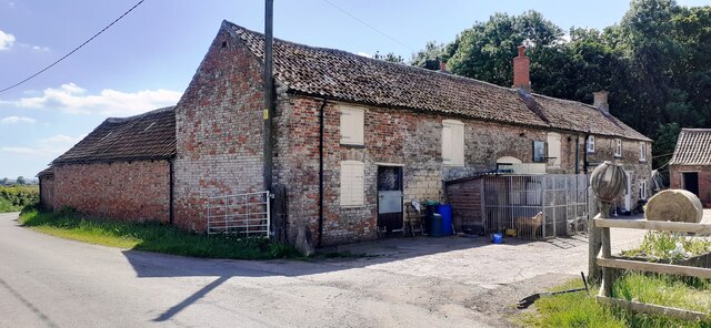
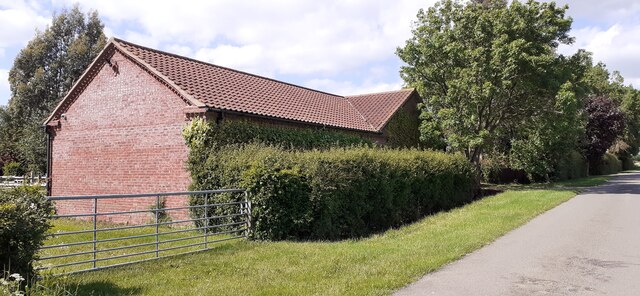
Brentingby Wood Images
Images are sourced within 2km of 52.784692/-0.83357635 or Grid Reference SK7821. Thanks to Geograph Open Source API. All images are credited.


Brentingby Wood is located at Grid Ref: SK7821 (Lat: 52.784692, Lng: -0.83357635)
Administrative County: Leicestershire
District: Melton
Police Authority: Leicestershire
What 3 Words
///even.vibrate.baked. Near Melton Mowbray, Leicestershire
Nearby Locations
Related Wikis

Twinlakes Theme Park
Twinlakes is a theme park located 0.5 miles (0.75 kilometres) north-east of Melton Mowbray, Leicestershire, England.The park was opened in September 2003...

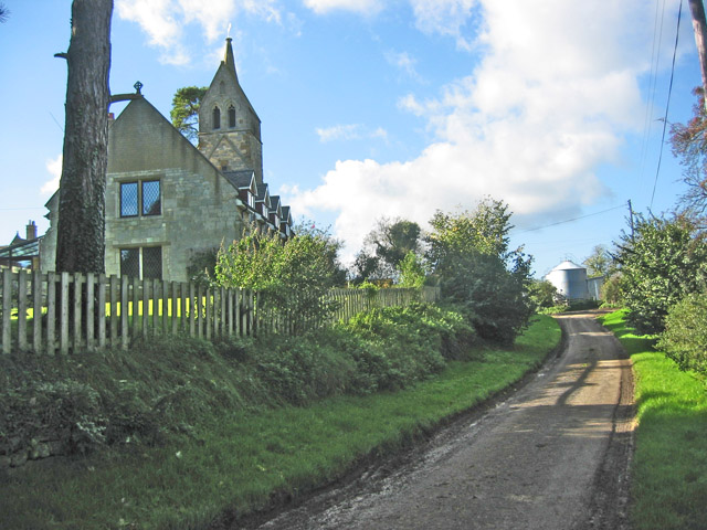
Freeby
Freeby is a village and civil parish in the Melton district of Leicestershire, England, about 3 miles (5 km) east of Melton Mowbray. As well as the village...
Thorpe Arnold
Thorpe Arnold is a farming village and former civil parish, now in the parish of Waltham on the Wolds and Thorpe Arnold in the district of Melton, which...
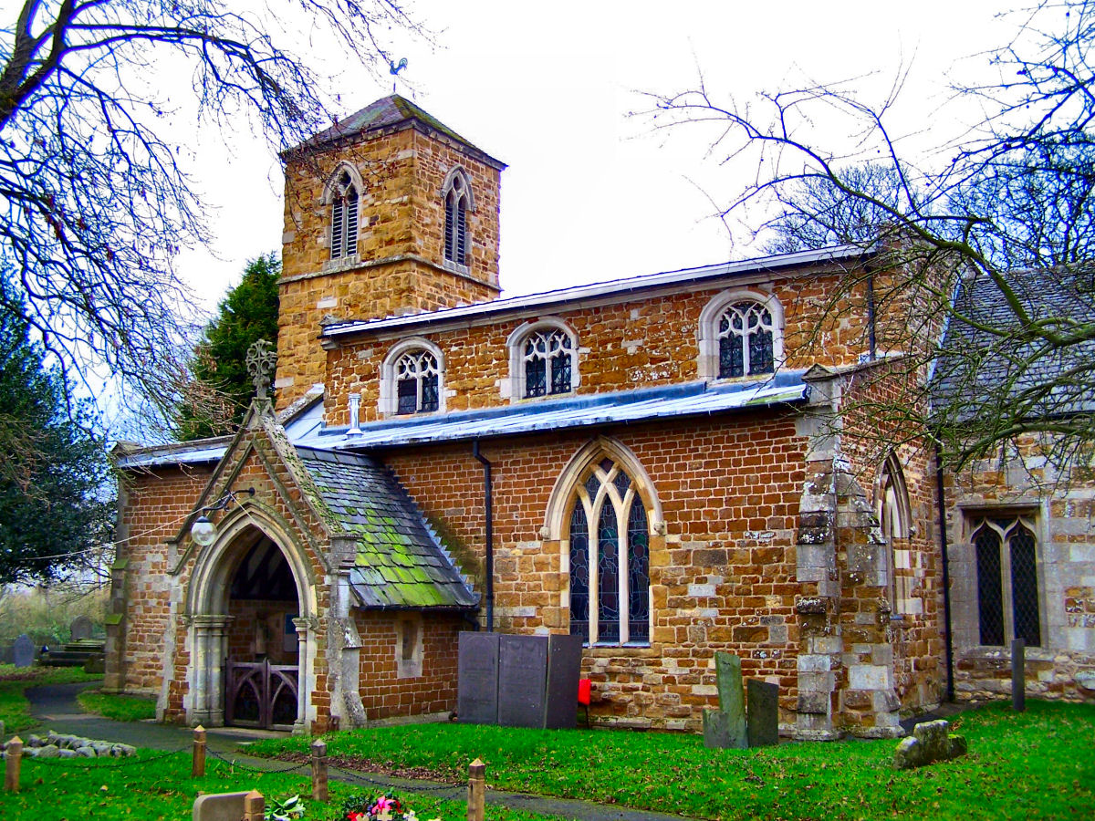
St Mary's Church, Brentingby
St Mary's Church is a redundant Anglican church in the village of Brentingby, Leicestershire, England. The walls of the church required renovation when...
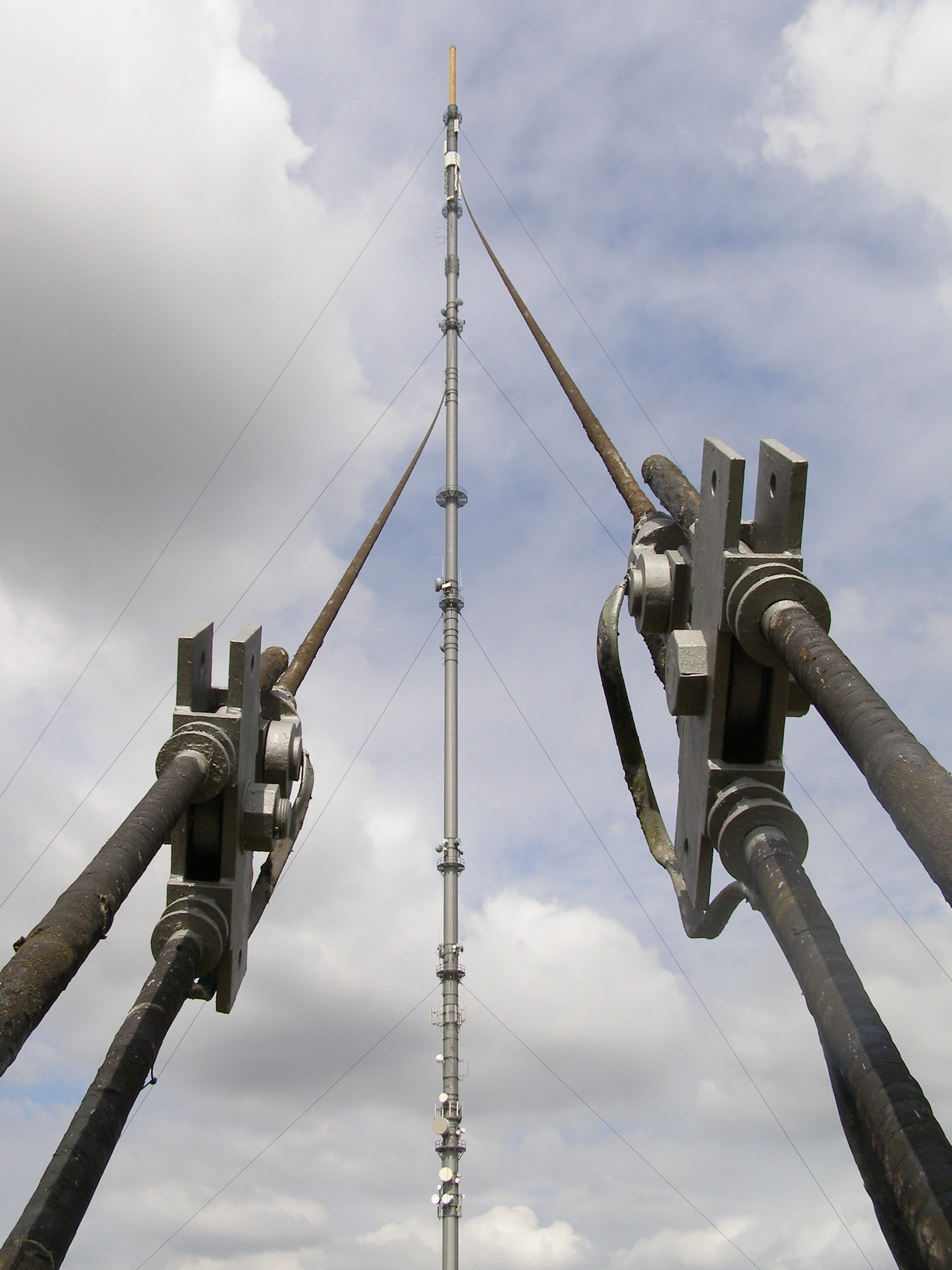
Waltham transmitting station
The Waltham transmitting station is a broadcasting and telecommunications facility at Waltham-on-the-Wolds, 5 miles (8 km) north-east of Melton Mowbray...
Borough of Melton
Melton is a local government district with borough status in north-eastern Leicestershire, England. It is named after its only town, Melton Mowbray. The...
Melton Country Park
Melton Country Park is a country park in Melton Mowbray, Leicestershire, England. == Facilities == The park has a visitor centre, cafe, sensory garden...

River Eye SSSI
River Eye SSSI is a 6.0 hectares (15 acres) biological Site of Special Scientific Interest covering a stretch of the River Eye between Ham Bridge, north...
Nearby Amenities
Located within 500m of 52.784692,-0.83357635Have you been to Brentingby Wood?
Leave your review of Brentingby Wood below (or comments, questions and feedback).