Wallmead Copse

Wood, Forest in Hampshire Hart

England

Wallmead Copse

The lychgate to St Mary's Church
The lychgate to St Mary's Church Credit: Steve Daniels

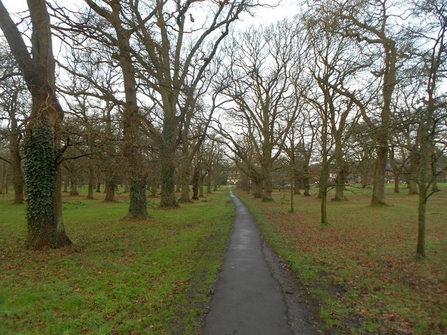
Wallmead Copse is a picturesque woodland located in Hampshire, England. Covering an area of approximately 70 acres, it is a popular destination for nature enthusiasts and hikers alike. The copse is situated on the outskirts of a small village, providing a tranquil escape from the hustle and bustle of urban life.

The woodland is primarily composed of various species of deciduous trees, including oak, beech, and birch. These majestic trees form a dense canopy that provides shade and shelter for a diverse range of flora and fauna. Bluebells, primroses, and wild garlic carpet the forest floor in the spring, creating a vibrant and fragrant display.

Wallmead Copse offers a network of well-maintained footpaths, allowing visitors to explore its natural beauty at their own pace. The paths wind their way through the woodland, leading to secluded clearings and hidden ponds. These water features attract a multitude of wildlife, such as ducks, dragonflies, and even the occasional deer.

Birdwatchers flock to Wallmead Copse, as it is home to a variety of bird species. Woodpeckers can often be heard tapping away at the trees, while owls hoot softly at dusk. The melodious songs of blackbirds and thrushes fill the air, providing a soothing soundtrack to any visit.

For those seeking a peaceful retreat in nature, Wallmead Copse offers a serene environment to unwind and reconnect with the natural world. Whether it's a leisurely stroll or a more adventurous hike, this Hampshire woodland promises an enchanting experience for all who visit.

If you have any feedback on the listing, please let us know in the comments section below.

Wallmead Copse Images

Images are sourced within 2km of 51.293733/-0.88310438 or Grid Reference SU7755. Thanks to Geograph Open Source API. All images are credited.

The lychgate to St Mary's Church
St Mary's Church near Hartley Wintney St Mary's Church is a redundant Anglican church in the village of Hartley Wintney. The church was declared redundant on 13 March 1974 and was vested in the Churches Conservation Trust on 22 October 1975.
St Mary's Church near Hartley Wintney
St Mary's Church is a redundant Anglican church in the village of Hartley Wintney. The church was declared redundant on 13 March 1974 and was vested in the Churches Conservation Trust on 22 October 1975.
Taplin's Farm Lane runs under the railway bridge
The Parish Church of St John the Evangelist
The War Memorial in Hartley Wintney
Flats in Lyndhurst Road
Trouble at supermarket
Lower Mount Street See also <a href="https://www.geograph.org.uk/photo/4421478">SU7955 : Lower Mount Street</a>.
Lower Mount Street
Winchfield station
Winchfield station
Footbridge over the M3 The M3 motorway runs for 59 miles from Sunbury-on-Thames to Southampton. Construction started 1968 and was finally completed in 1995. The Winchester bypass through Twyford Downs was the most controversial section to be built.
Wikipedia: <span class="nowrap"><a title="http://en.wikipedia.org/wiki/M3_motorway_(Great_Britain)" rel="nofollow ugc noopener" href="http://en.wikipedia.org/wiki/M3_motorway_(Great_Britain)">Link</a><img style="margin-left:2px;" alt="External link" title="External link - shift click to open in new window" src="https://s1.geograph.org.uk/img/external.png" width="10" height="10"/></span>
Footbridge over the M3
The M3 motorway runs for 59 miles from Sunbury-on-Thames to Southampton. Construction started 1968 and was finally completed in 1995. The Winchester bypass through Twyford Downs was the most controversial section to be built. Wikipedia: LinkExternal link
Taplin's Farm Lane Bridge, M3 The M3 motorway runs for 59 miles from Sunbury-on-Thames to Southampton. Construction started 1968 and was finally completed in 1995. The Winchester bypass through Twyford Downs was the most controversial section to be built.
Wikipedia: <span class="nowrap"><a title="http://en.wikipedia.org/wiki/M3_motorway_(Great_Britain)" rel="nofollow ugc noopener" href="http://en.wikipedia.org/wiki/M3_motorway_(Great_Britain)">Link</a><img style="margin-left:2px;" alt="External link" title="External link - shift click to open in new window" src="https://s1.geograph.org.uk/img/external.png" width="10" height="10"/></span>
Taplin's Farm Lane Bridge, M3
The M3 motorway runs for 59 miles from Sunbury-on-Thames to Southampton. Construction started 1968 and was finally completed in 1995. The Winchester bypass through Twyford Downs was the most controversial section to be built. Wikipedia: LinkExternal link
Farm access Bridge, M3 The M3 motorway runs for 59 miles from Sunbury-on-Thames to Southampton. Construction started 1968 and was finally completed in 1995. The Winchester bypass through Twyford Downs was the most controversial section to be built.
Wikipedia: <span class="nowrap"><a title="http://en.wikipedia.org/wiki/M3_motorway_(Great_Britain)" rel="nofollow ugc noopener" href="http://en.wikipedia.org/wiki/M3_motorway_(Great_Britain)">Link</a><img style="margin-left:2px;" alt="External link" title="External link - shift click to open in new window" src="https://s1.geograph.org.uk/img/external.png" width="10" height="10"/></span>
Farm access Bridge, M3
The M3 motorway runs for 59 miles from Sunbury-on-Thames to Southampton. Construction started 1968 and was finally completed in 1995. The Winchester bypass through Twyford Downs was the most controversial section to be built. Wikipedia: LinkExternal link
M3 at Fleet Services The M3 motorway runs for 59 miles from Sunbury-on-Thames to Southampton. Construction started 1968 and was finally completed in 1995. The Winchester bypass through Twyford Downs was the most controversial section to be built.
Wikipedia: <span class="nowrap"><a title="http://en.wikipedia.org/wiki/M3_motorway_(Great_Britain)" rel="nofollow ugc noopener" href="http://en.wikipedia.org/wiki/M3_motorway_(Great_Britain)">Link</a><img style="margin-left:2px;" alt="External link" title="External link - shift click to open in new window" src="https://s1.geograph.org.uk/img/external.png" width="10" height="10"/></span>
M3 at Fleet Services
The M3 motorway runs for 59 miles from Sunbury-on-Thames to Southampton. Construction started 1968 and was finally completed in 1995. The Winchester bypass through Twyford Downs was the most controversial section to be built. Wikipedia: LinkExternal link
Hartley Wintney: The Common The Common is characterized by multiple lines of planted trees, while this path leads up from the main road in the distance to the church behind the photographer.
Hartley Wintney: The Common
The Common is characterized by multiple lines of planted trees, while this path leads up from the main road in the distance to the church behind the photographer.
Hartley Wintney: The pond and the Old Post Office The pair of K6 telephone kiosks to the right are Grade II Listed.
Hartley Wintney: The pond and the Old Post Office
The pair of K6 telephone kiosks to the right are Grade II Listed.
Hartley Wintney: The Baptist Church The church dates from 1807 and is a Grade II Listed Building. The English Heritage website describes it thus:-

"Plain rectangular building with slate roof, painted brick walls at the long sides containing 2 round-headed windows. Symmetrical front with pediment gables having a cornice on coupled brackets, 4 pilasters with moulded caps, the central 2 joined by an arched architrave above on upper window. At ground floor a central window flanked by 2 recessed arched frames. Set back on the east side is a plain porch with a fanlight above double doors."
Hartley Wintney: The Baptist Church
The church dates from 1807 and is a Grade II Listed Building. The English Heritage website describes it thus:- "Plain rectangular building with slate roof, painted brick walls at the long sides containing 2 round-headed windows. Symmetrical front with pediment gables having a cornice on coupled brackets, 4 pilasters with moulded caps, the central 2 joined by an arched architrave above on upper window. At ground floor a central window flanked by 2 recessed arched frames. Set back on the east side is a plain porch with a fanlight above double doors."
Show me another place!

Wallmead Copse is located at Grid Ref: SU7755 (Lat: 51.293733, Lng: -0.88310438)

Administrative County: Hampshire

District: Hart

Police Authority: Hampshire

What 3 Words

///stones.chemistry.insulated. Near Hartley Wintney, Hampshire

Related Wikis

Elvetham air crash

The Elvetham air crash occurred on 5 October 1945 when a Consolidated Liberator GR.VI aircraft, serial number KG867, of 311 Squadron Royal Air Force crashed...
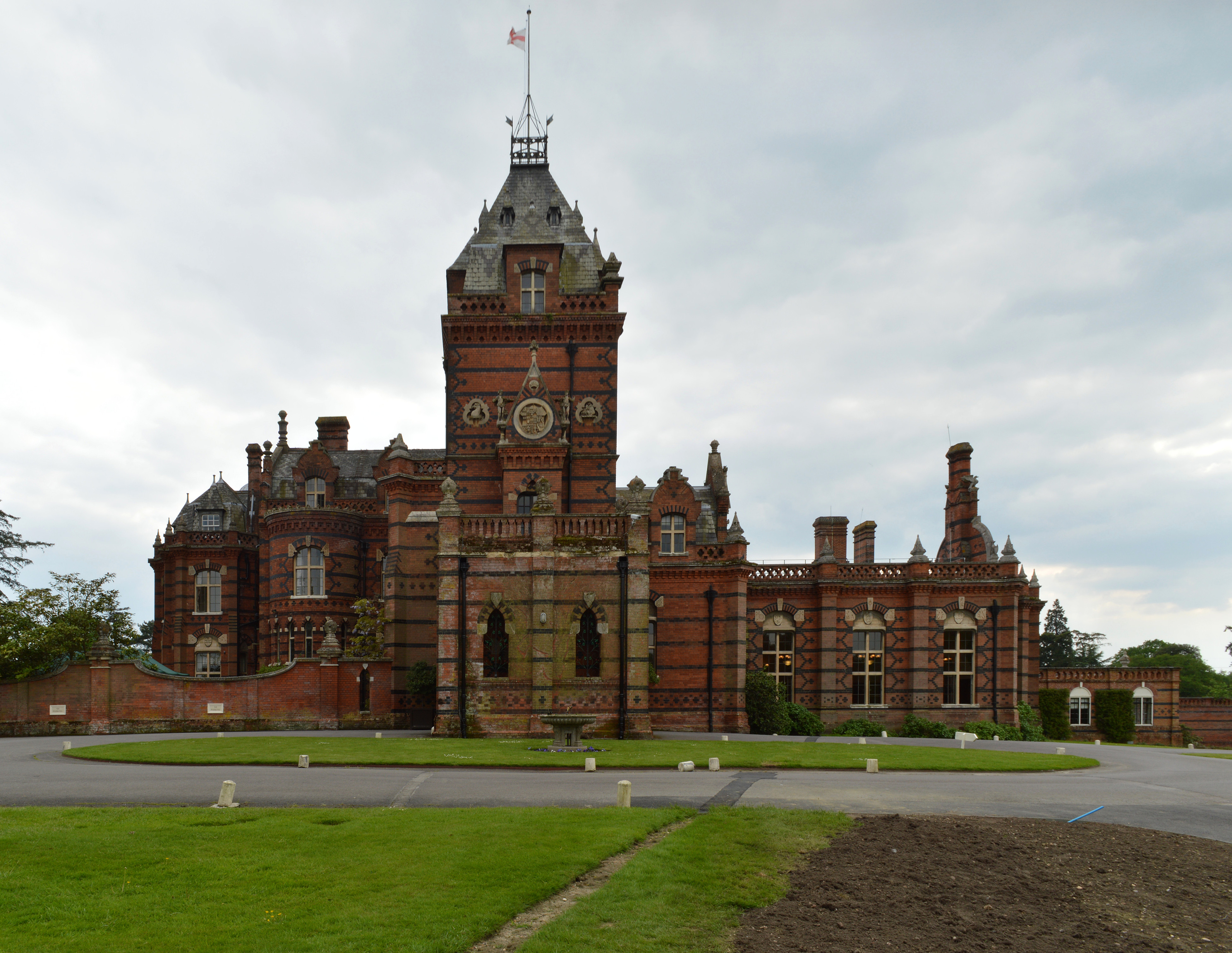
Elvetham Hall

Elvetham Hall is a hotel in Hampshire, England, in the parish of Hartley Wintney about 2 miles (3 km) northwest of Fleet. The building is a High Victorian...

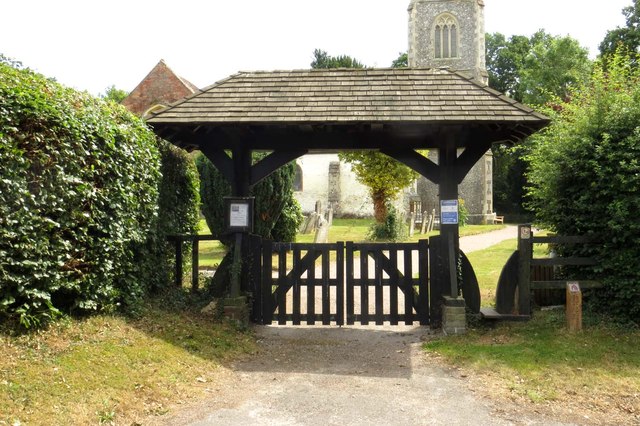
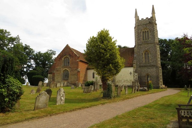
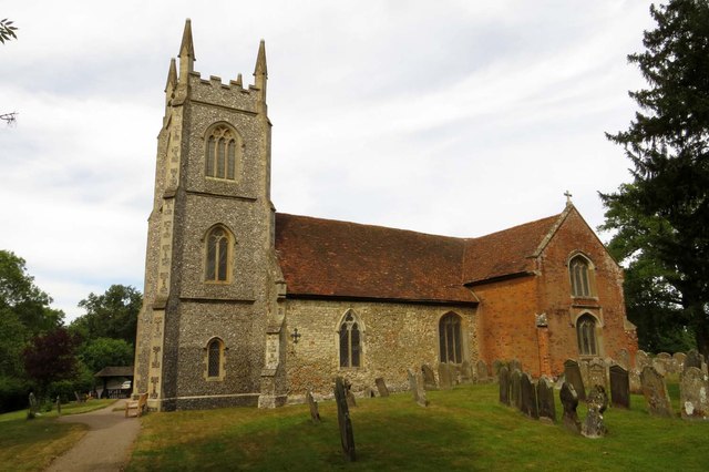
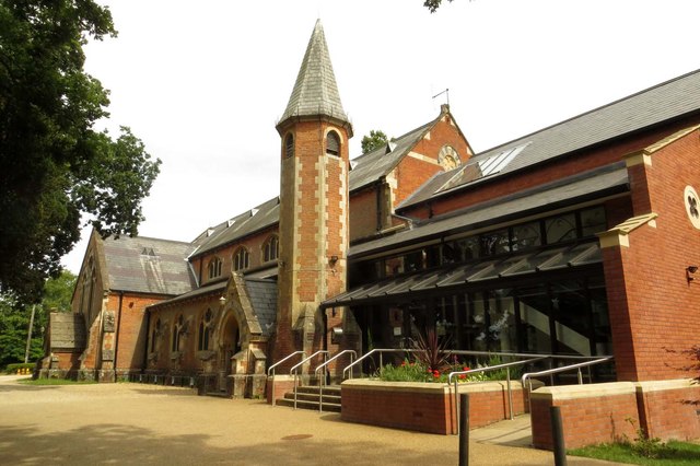
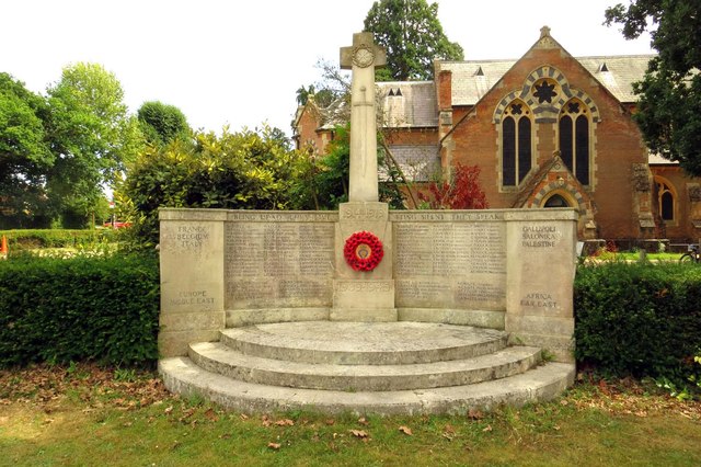
St Mary's Church, Hartley Wintney

St Mary's Church is a redundant Anglican church in the village of Hartley Wintney, Hampshire, England. It is recorded in the National Heritage List for...

Winchfield Green

Winchfield Green is a hamlet in the civil parish of Winchfield in Hampshire, England. Its nearest town is Fleet, which lies approximately 2 miles (3 km...

Nearby Amenities

Located within 500m of 51.293733,-0.88310438
Wintney Farm
Landuse: farm
Note Retag: CS #48756035
Source: OS OpenData StreetView
Lat/Long: 51.2907075/-0.8869748
The data included in this document is from www.openstreetmap.org. The data is made available under ODbL.

Have you been to Wallmead Copse?

Leave your review of Wallmead Copse below (or comments, questions and feedback).