Thornton Wood
Wood, Forest in Yorkshire
England
Thornton Wood
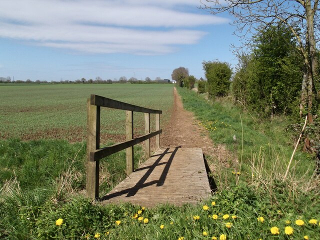
Located in the county of Yorkshire, Thornton Wood is a charming forested area that spans across a vast expanse of land. Situated near the town of Thornton, this woodland is known for its natural beauty and rich biodiversity. With an area of approximately 500 acres, Thornton Wood offers visitors a serene environment to explore and immerse themselves in nature.
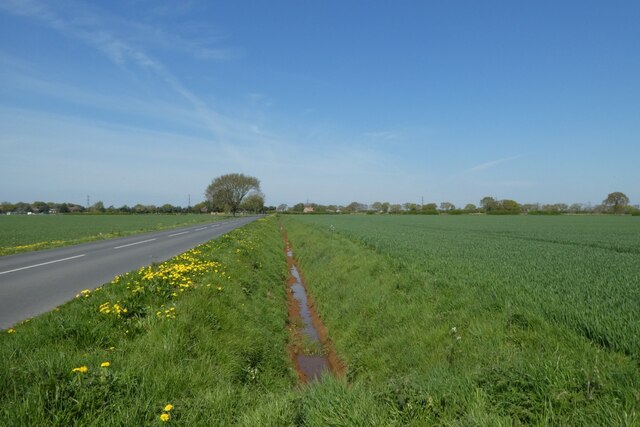
The forest is predominantly made up of deciduous trees, such as oak, beech, and birch, which create a dense canopy, providing shade and shelter to the various flora and fauna that call this woodland home. Energetic streams meander through the forest, adding to its picturesque appeal and providing a source of water for the diverse wildlife that inhabits the area.
Walking along the well-maintained trails, visitors can appreciate the tranquil atmosphere and the abundance of wildlife that can be spotted throughout the wood. From elusive deer to a variety of bird species, Thornton Wood is a haven for nature enthusiasts and birdwatchers alike. The forest is also home to several rare and protected species, which makes it an important conservation site.
Thornton Wood offers a range of recreational activities for visitors to enjoy, including hiking, cycling, and picnicking. The forest is equipped with picnic areas, making it an ideal spot for families and groups to relax and enjoy a meal amidst the natural surroundings.
Overall, Thornton Wood in Yorkshire is a captivating forested area that showcases the beauty of nature in all its glory. With its diverse wildlife, scenic trails, and peaceful ambiance, it is a must-visit destination for anyone seeking a tranquil retreat in the heart of Yorkshire.
If you have any feedback on the listing, please let us know in the comments section below.
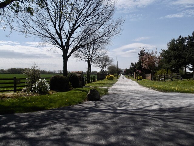
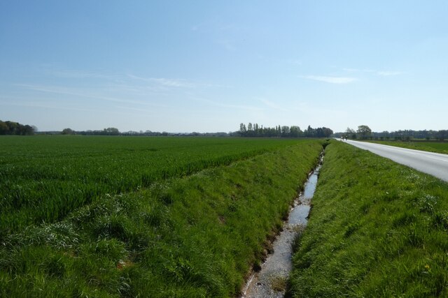
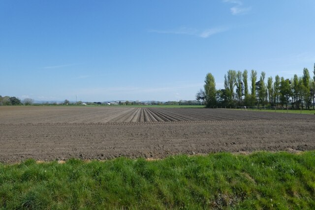
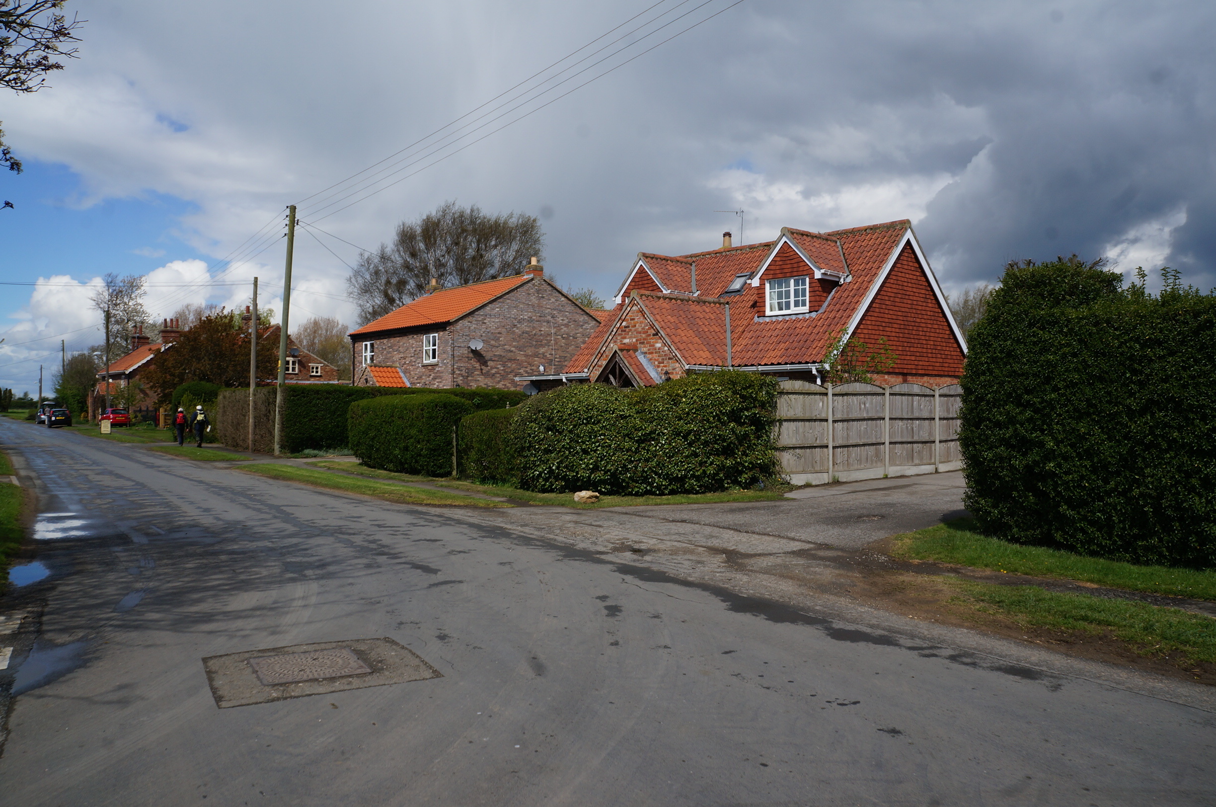
Thornton Wood Images
Images are sourced within 2km of 53.890468/-0.81506386 or Grid Reference SE7744. Thanks to Geograph Open Source API. All images are credited.


Thornton Wood is located at Grid Ref: SE7744 (Lat: 53.890468, Lng: -0.81506386)
Division: East Riding
Unitary Authority: East Riding of Yorkshire
Police Authority: Humberside
What 3 Words
///output.indicate.booms. Near Thornton, East Yorkshire
Nearby Locations
Related Wikis

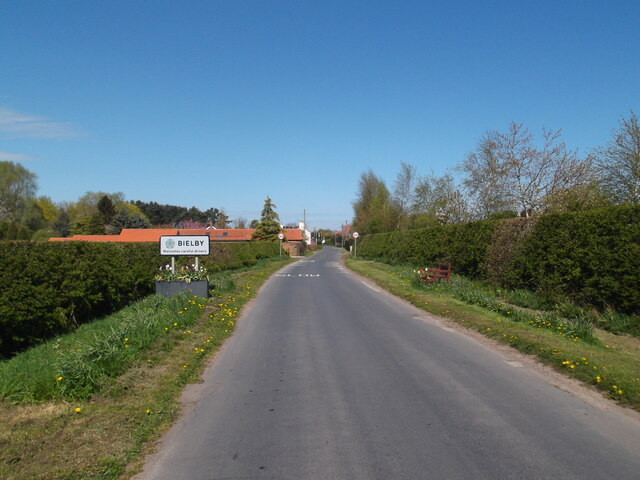
Bielby
Bielby is a village and civil parish in the East Riding of Yorkshire, England. The village is situated about 4 miles (6.4 km) south of Pocklington. According...
Thornton, East Riding of Yorkshire
Thornton is a village and civil parish in the East Riding of Yorkshire, England. It is situated approximately 3.5 miles (5.6 km) south-west of the town...

Waplington
Waplington is a hamlet in the East Riding of Yorkshire, England. It is situated approximately 2 miles (3.2 km) south-west of the market town of Pocklington...

Melbourne, East Riding of Yorkshire
Melbourne is a village and civil parish in the East Riding of Yorkshire, England. It is situated approximately 8 miles (13 km) west of the market town...
Nearby Amenities
Located within 500m of 53.890468,-0.81506386Have you been to Thornton Wood?
Leave your review of Thornton Wood below (or comments, questions and feedback).