Barf Plantation
Wood, Forest in Yorkshire
England
Barf Plantation
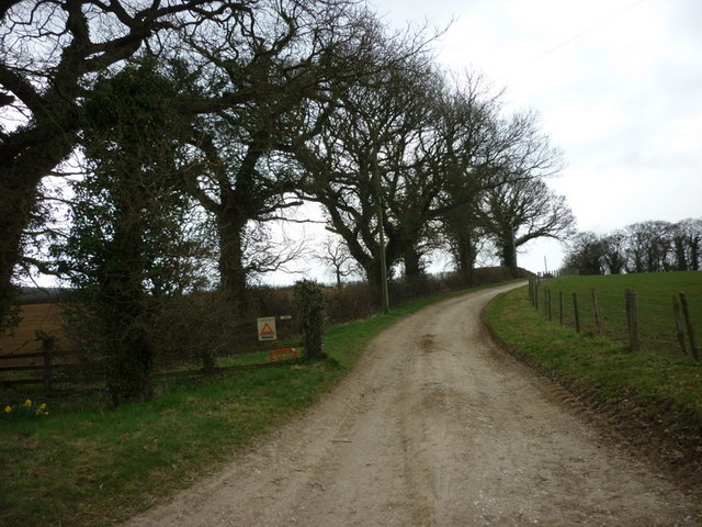
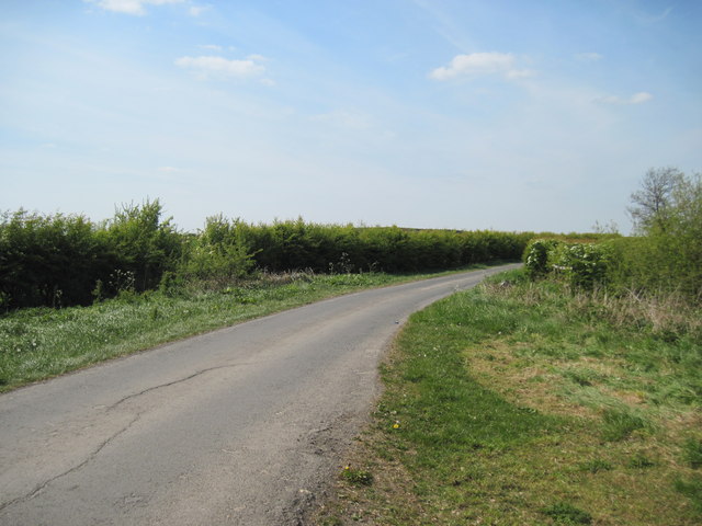
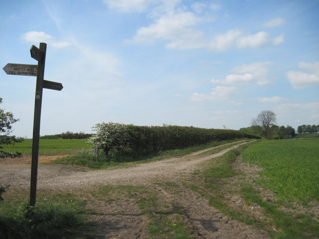
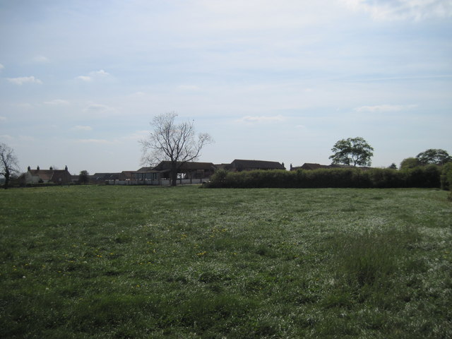
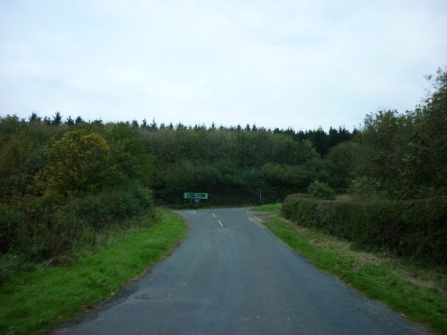
Barf Plantation is an expansive woodland located in Yorkshire, England. Nestled in the heart of the county, it is renowned for its natural beauty and diverse ecosystem. The plantation covers a substantial area, with its boundaries stretching across rolling hills and valleys, creating a picturesque landscape.
The woodland is predominantly composed of various species of trees, including oak, beech, and birch, which form a dense canopy overhead. These trees provide a habitat for a wide range of wildlife, such as birds, squirrels, and deer. The plantation is also home to a diverse array of flora, with an abundance of wildflowers and ferns carpeting the forest floor.
Visitors to Barf Plantation can enjoy a multitude of recreational activities. There are well-maintained walking trails that meander through the woodland, allowing visitors to explore and appreciate the tranquility of nature. These paths cater to different levels of fitness, ensuring that everyone can enjoy the plantation's beauty at their own pace.
The plantation's location offers breathtaking views of the surrounding countryside, making it a popular spot for photographers and nature enthusiasts. In addition, the woodland provides a peaceful retreat for those seeking a break from the hustle and bustle of everyday life.
Barf Plantation is managed by local authorities, who prioritize the conservation of its natural resources and the protection of its wildlife. Through careful maintenance and preservation efforts, this woodland continues to thrive and enchant visitors with its scenic charm.
If you have any feedback on the listing, please let us know in the comments section below.
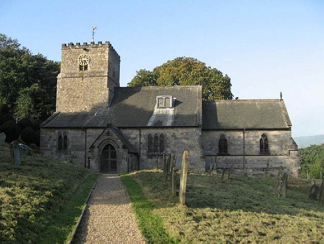
Barf Plantation Images
Images are sourced within 2km of 54.004554/-0.81756298 or Grid Reference SE7757. Thanks to Geograph Open Source API. All images are credited.


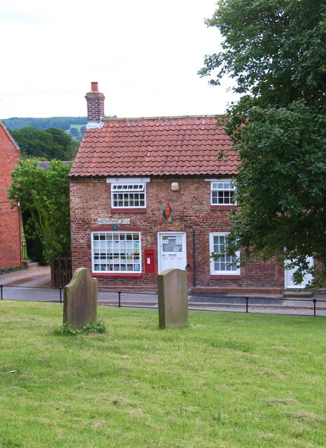
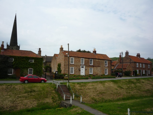
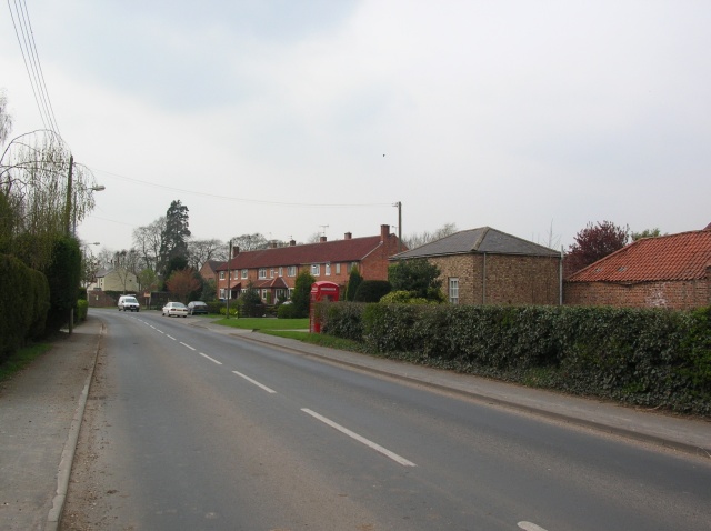
![Village Green, Bugthorpe Bugthorpe is an estate village laid out by Lord Halifax [of nearby Garrowby Hall] and consists mainly of redbrick cottages around a rectangular green.](https://s1.geograph.org.uk/geophotos/03/11/69/3116993_07998b47.jpg)
Barf Plantation is located at Grid Ref: SE7757 (Lat: 54.004554, Lng: -0.81756298)
Division: East Riding
Unitary Authority: East Riding of Yorkshire
Police Authority: Humberside
What 3 Words
///stubborn.fastening.dockers. Near Bugthorpe, East Yorkshire
Nearby Locations
Related Wikis

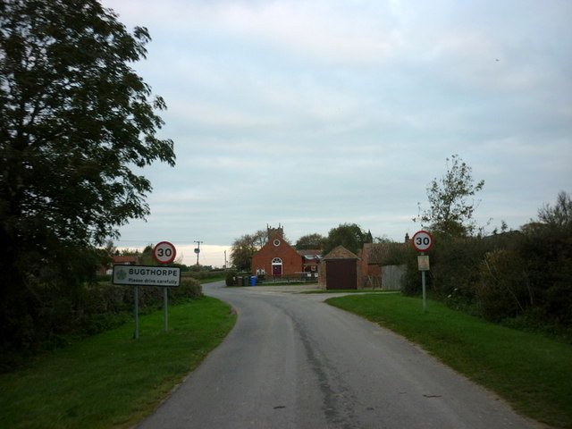
Bugthorpe
Bugthorpe is a village and civil parish in the East Riding of Yorkshire, England, about 11 miles (18 km) east of York and 16 miles (26 km) west of Driffield...

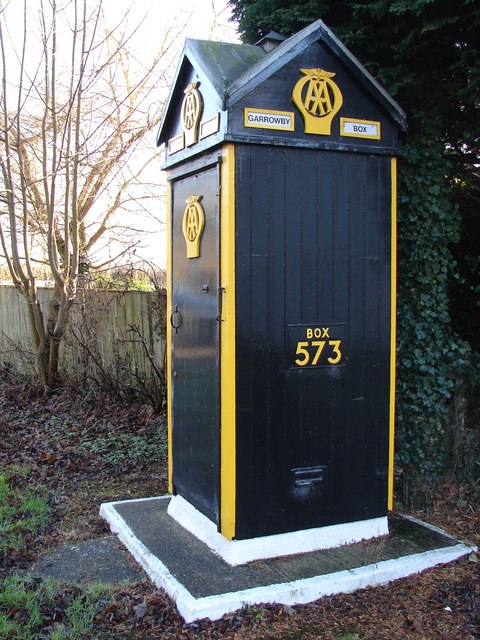
Garrowby
Garrowby is a hamlet in the East Riding of Yorkshire, England. It is situated approximately 5 miles (8 km) north of Pocklington town centre. It lies to...
Youlthorpe
Youlthorpe is a hamlet in the East Riding of Yorkshire, England. It forms part of the civil parish of Bishop Wilton. It is situated approximately 10 miles...

Skirpenbeck
Skirpenbeck is a village and civil parish in the East Riding of Yorkshire, England. It is situated 2 miles (3.2 km) north-west of Stamford Bridge just...

Gowthorpe
Gowthorpe is a hamlet in the East Riding of Yorkshire, England. It is situated approximately 4 miles (6 km) north-west of Pocklington town centre and 3...
Bishop Wilton
Bishop Wilton is a small village and civil parish in the East Riding of Yorkshire, England. It is situated approximately 4 miles (6 km) north of Pocklington...
Kirby Underdale
Kirby Underdale is a village and civil parish in the East Riding of Yorkshire, England. It is situated approximately six miles (ten kilometres) north...
Full Sutton
Full Sutton is a village and civil parish in the East Riding of Yorkshire, England. It is situated approximately 2 miles (3 kilometres) east of the village...
Nearby Amenities
Located within 500m of 54.004554,-0.81756298Have you been to Barf Plantation?
Leave your review of Barf Plantation below (or comments, questions and feedback).