Upper West Wood
Wood, Forest in Sussex Chichester
England
Upper West Wood
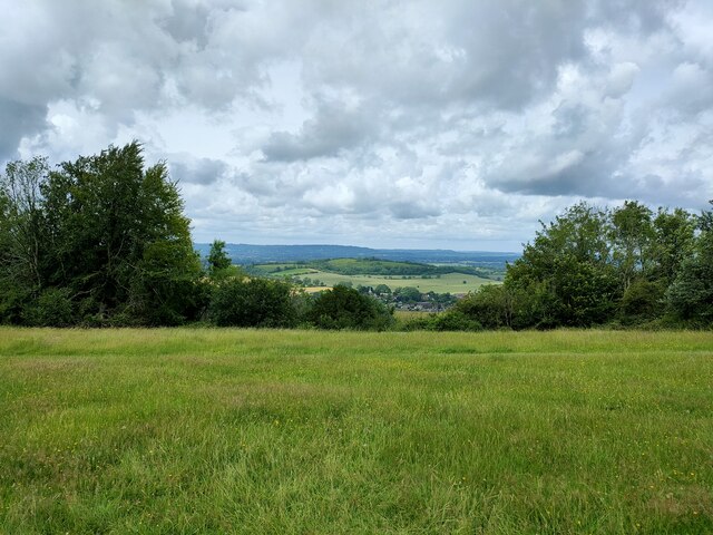
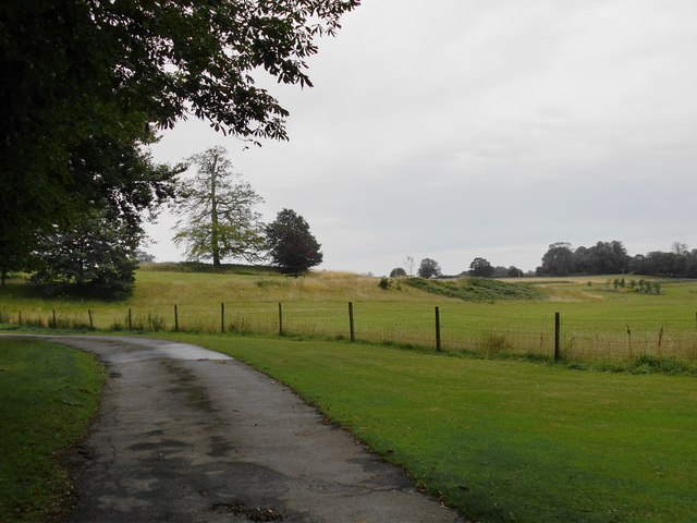
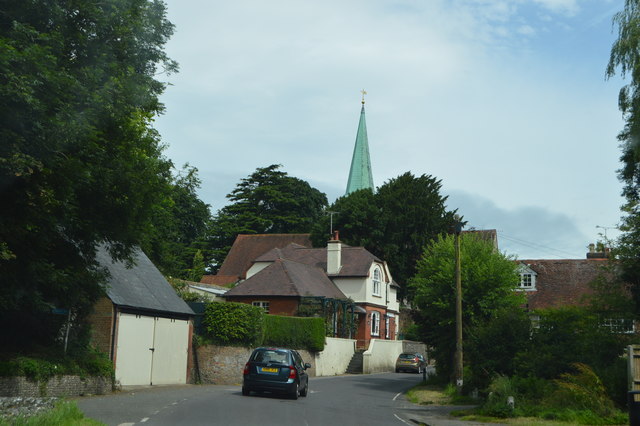
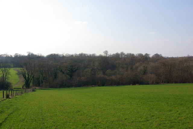
Upper West Wood is a small village located in the county of Sussex, England. Situated amidst the scenic beauty of the South Downs National Park, it lies on the western side of the expansive woodland area known as West Wood. Spanning over an area of approximately 100 square kilometers, Upper West Wood is surrounded by a lush green forest, making it an idyllic retreat for nature lovers and outdoor enthusiasts.
The village itself is characterized by its charming cottages, some of which date back several centuries, giving it a timeless appeal. The local community is small and tight-knit, with a friendly and welcoming atmosphere. Traditional village amenities can be found here, including a quaint village hall, a local pub serving hearty meals, and a small convenience store for everyday essentials.
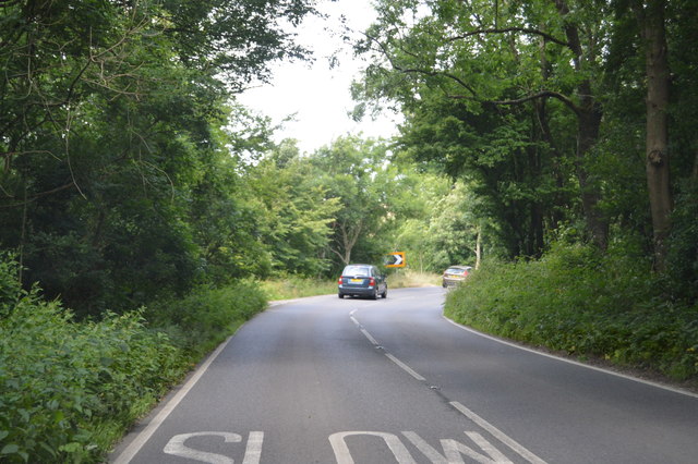
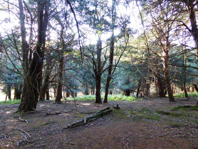
Upper West Wood offers a range of recreational activities, primarily centered around the natural beauty of the area. The forest provides ample opportunities for hiking, walking, and cycling, with numerous trails meandering through the woodland, offering breathtaking views of the surrounding countryside. Wildlife enthusiasts can also enjoy spotting various species of birds, small mammals, and even deer within the forest.
For those seeking a peaceful and tranquil getaway, Upper West Wood offers a serene escape from the hustle and bustle of city life. With its picturesque setting and abundance of natural beauty, it is no wonder that this village has become a popular destination for those seeking a close connection with nature.
If you have any feedback on the listing, please let us know in the comments section below.
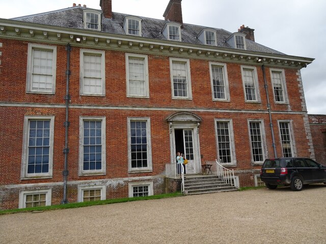
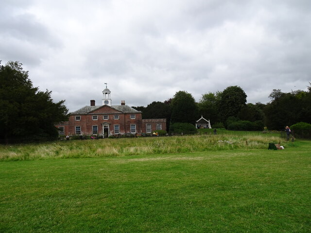
Upper West Wood Images
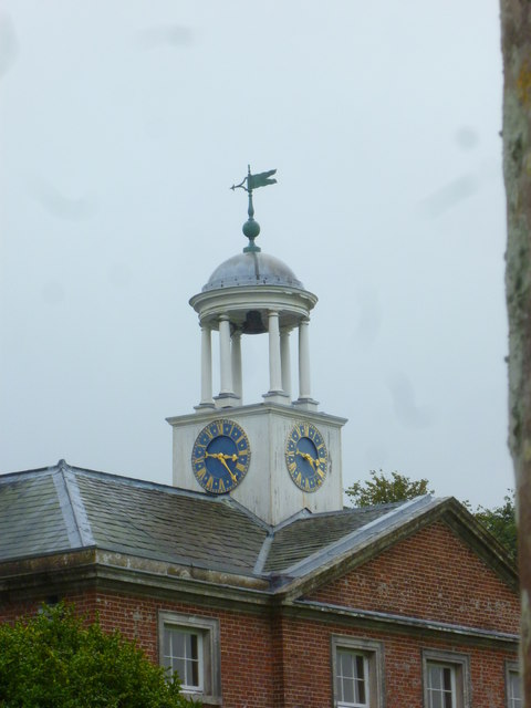
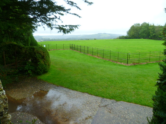
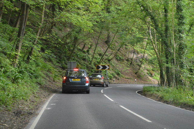
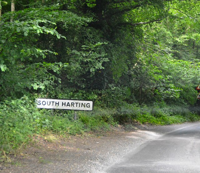
Images are sourced within 2km of 50.952166/-0.89736041 or Grid Reference SU7717. Thanks to Geograph Open Source API. All images are credited.
Upper West Wood is located at Grid Ref: SU7717 (Lat: 50.952166, Lng: -0.89736041)
Administrative County: West Sussex
District: Chichester
Police Authority: Sussex
What 3 Words
///prowling.defectors.driver. Near South Harting, West Sussex
Nearby Locations
Related Wikis

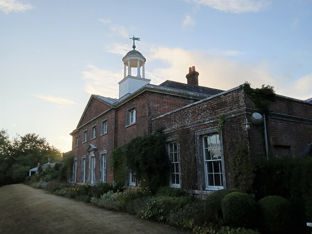
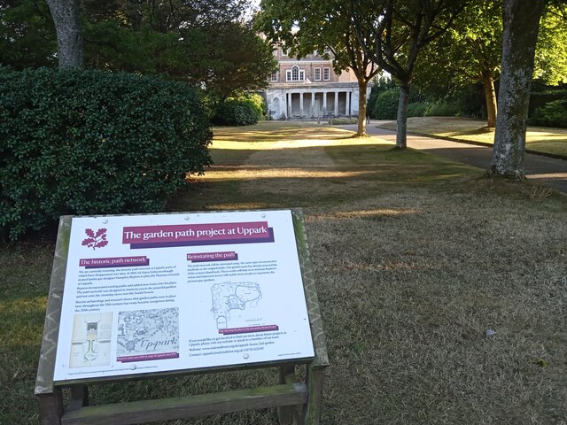
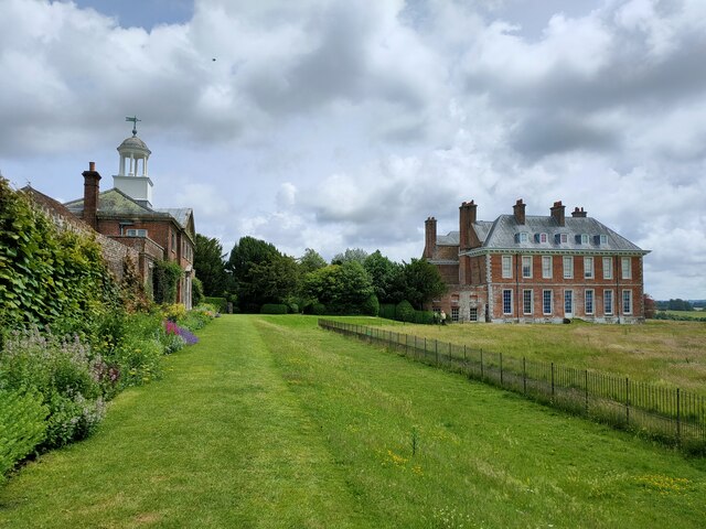
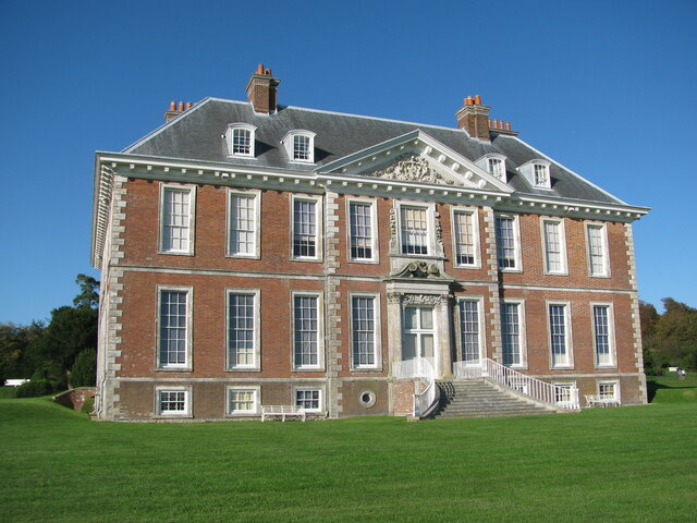
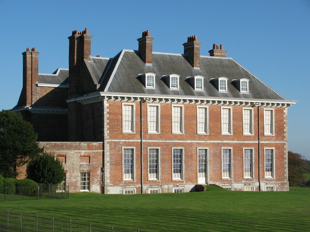
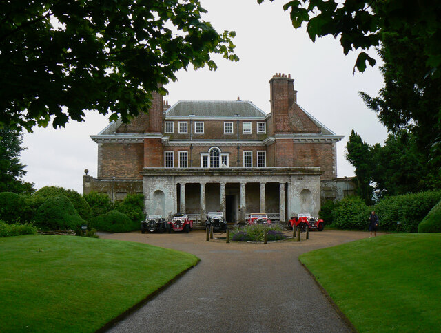
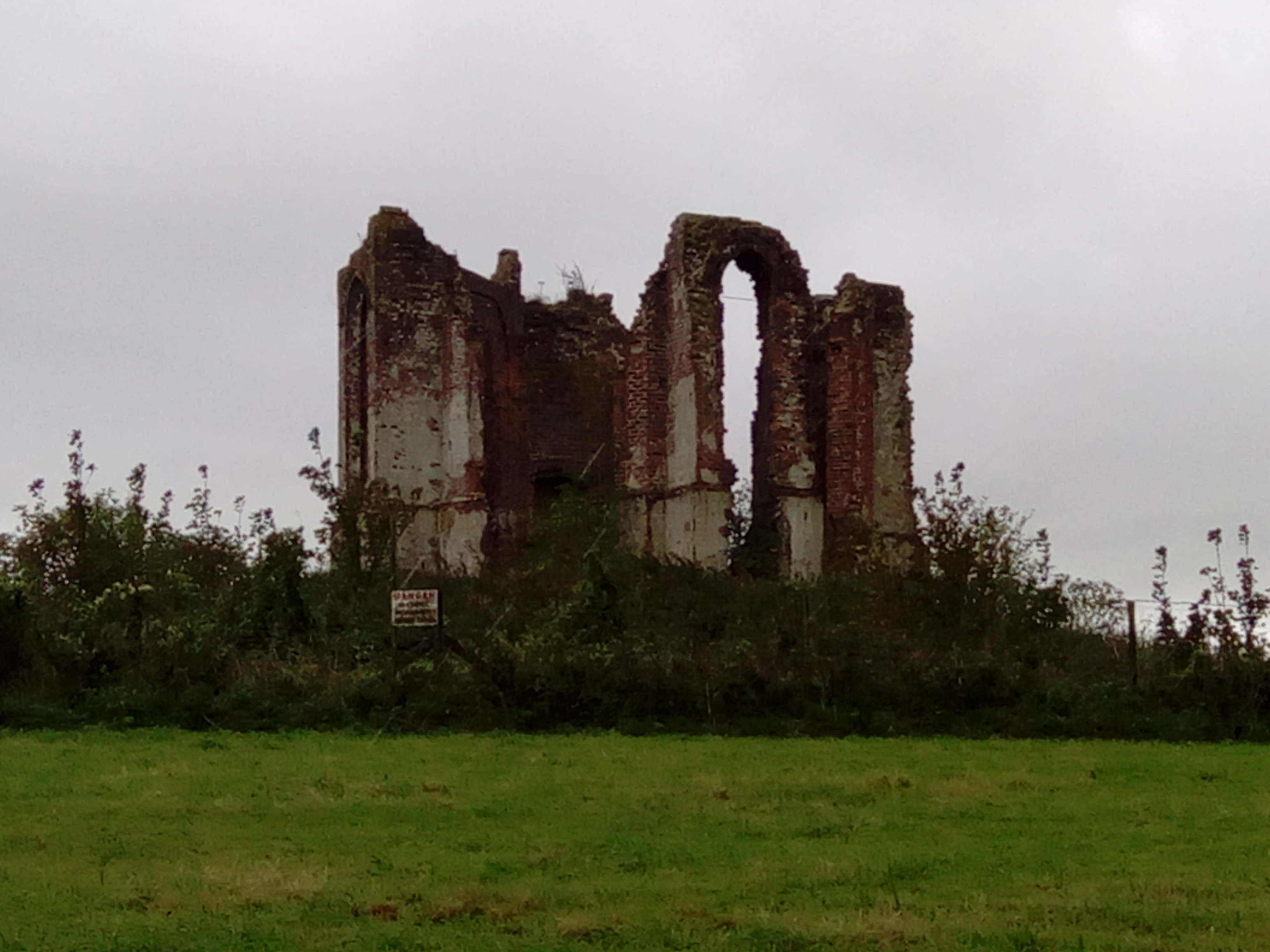
Uppark
Uppark is a 17th-century house in South Harting, West Sussex, England. It is a Grade I listed building and a National Trust property. == History == The...
Vandalian Tower
The Vandalian Tower at Harting, West Sussex, England, is an 18th-century folly, built to commemorate the British colony of Vandalia, a short-lived colony...
West Harting Down SSSI
West Harting Down SSSI is a 13.9-hectare (34-acre) biological Site of Special Scientific Interest west of South Harting in West Sussex. It is part of...
Pads Wood
Pads Wood is a 22.2-hectare (55-acre) biological Site of Special Scientific Interest west of Midhurst in West Sussex.This ancient coppiced wood is mainly...
Nearby Amenities
Located within 500m of 50.952166,-0.89736041Have you been to Upper West Wood?
Leave your review of Upper West Wood below (or comments, questions and feedback).