Lower West Wood
Wood, Forest in Sussex Chichester
England
Lower West Wood
Lower West Wood is a small village located in the county of Sussex, England. Situated amidst verdant forests, it boasts a picturesque and tranquil setting. The village is part of the larger West Wood, which is renowned for its vast woodland areas, making it a haven for nature enthusiasts and outdoor adventurers.
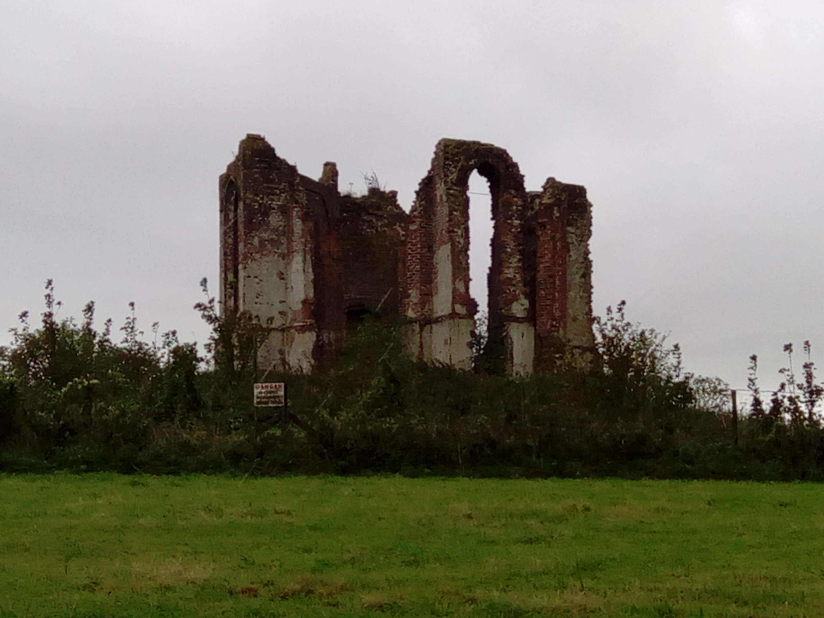
Lower West Wood is characterized by its idyllic charm, with quaint cottages dotting the landscape. The architecture of the village reflects its rich history, with some buildings dating back several centuries. The local community takes pride in preserving the heritage and maintaining the traditional appearance of the village.
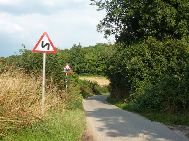
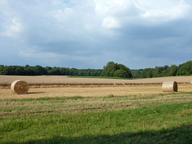
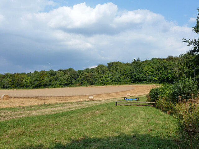
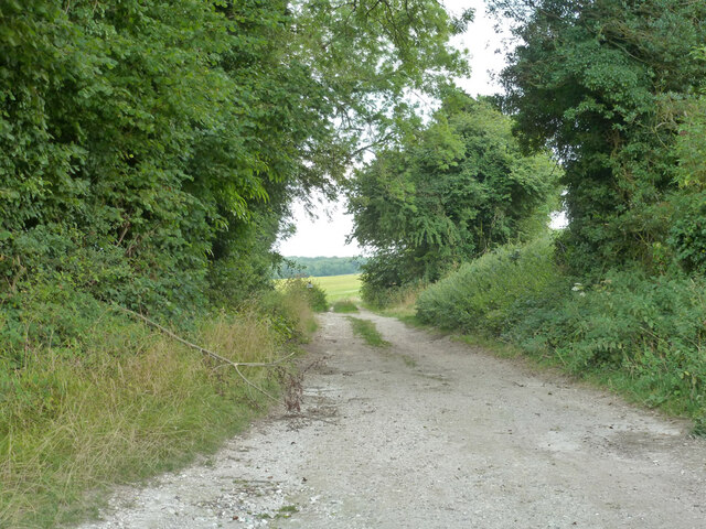
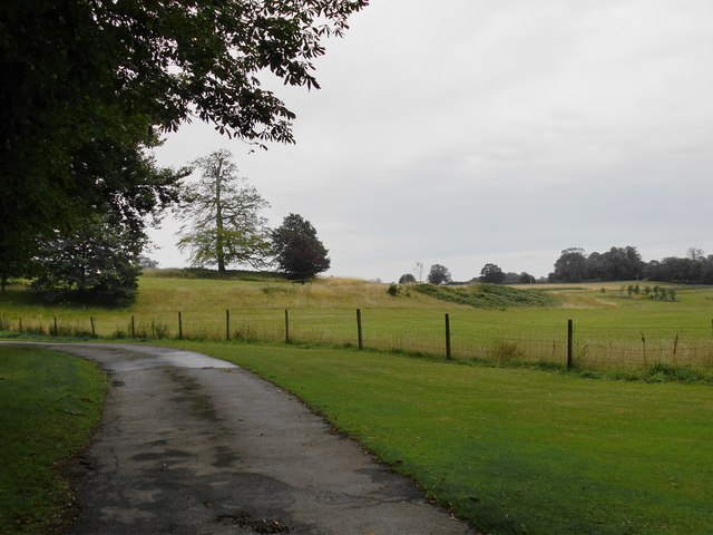
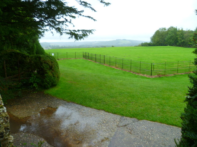
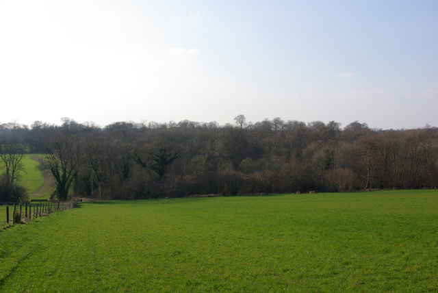
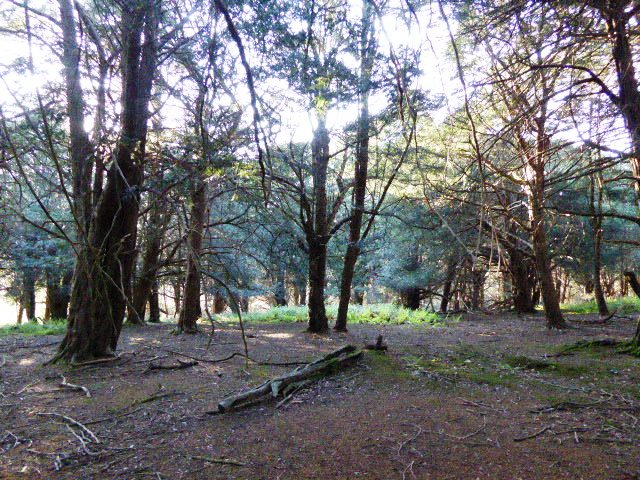
Nature lovers will find themselves captivated by the surrounding woodlands. The forests in the area are home to a diverse range of flora and fauna, including ancient oak trees, bluebells, and various species of birds and mammals. The village is also blessed with numerous walking trails and paths, offering visitors the opportunity to immerse themselves in the beauty of the countryside.
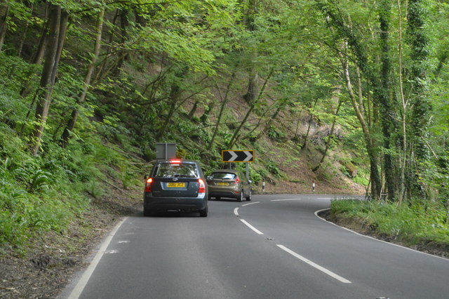
Despite its rural setting, Lower West Wood still provides essential amenities for its residents and visitors. A small local shop caters to daily needs, while a charming village pub offers a cozy atmosphere to socialize and unwind. The village also benefits from excellent transport links, with regular bus services connecting it to nearby towns and cities.
Overall, Lower West Wood, Sussex, is an enchanting village that offers a peaceful retreat amidst stunning natural surroundings. Its historical charm, coupled with its accessibility and abundance of outdoor activities, make it an appealing destination for nature lovers and those seeking a break from the hustle and bustle of city life.
If you have any feedback on the listing, please let us know in the comments section below.
Lower West Wood Images
Images are sourced within 2km of 50.947854/-0.89871514 or Grid Reference SU7717. Thanks to Geograph Open Source API. All images are credited.
Lower West Wood is located at Grid Ref: SU7717 (Lat: 50.947854, Lng: -0.89871514)
Administrative County: West Sussex
District: Chichester
Police Authority: Sussex
What 3 Words
///composer.examine.tilts. Near South Harting, West Sussex
Nearby Locations
Related Wikis

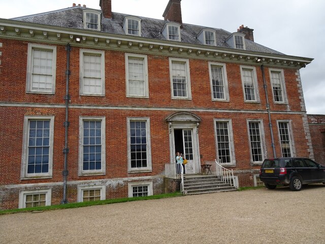
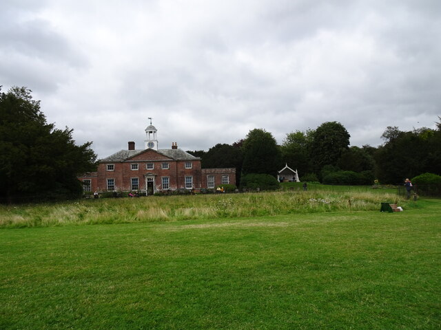
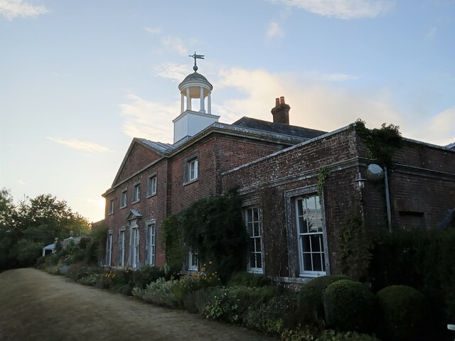
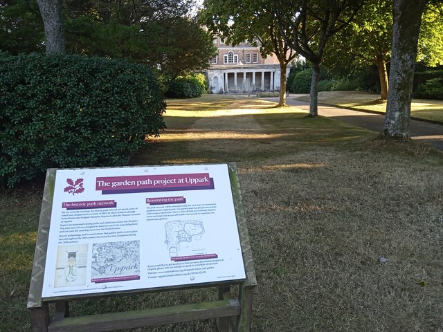
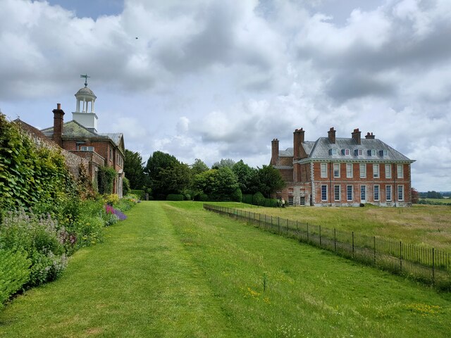
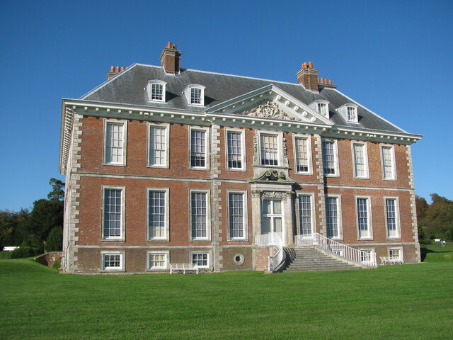
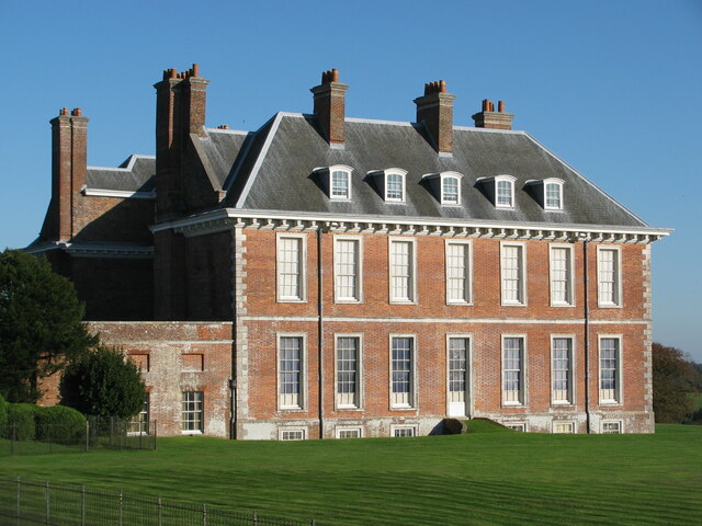
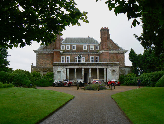
Uppark
Uppark is a 17th-century house in South Harting, West Sussex, England. It is a Grade I listed building and a National Trust property. == History == The...
Pads Wood
Pads Wood is a 22.2-hectare (55-acre) biological Site of Special Scientific Interest west of Midhurst in West Sussex.This ancient coppiced wood is mainly...
Vandalian Tower
The Vandalian Tower at Harting, West Sussex, England, is an 18th-century folly, built to commemorate the British colony of Vandalia, a short-lived colony...
West Harting Down SSSI
West Harting Down SSSI is a 13.9-hectare (34-acre) biological Site of Special Scientific Interest west of South Harting in West Sussex. It is part of...
Nearby Amenities
Located within 500m of 50.947854,-0.89871514Have you been to Lower West Wood?
Leave your review of Lower West Wood below (or comments, questions and feedback).