Broadlands Copse

Wood, Forest in Hampshire East Hampshire

England

Broadlands Copse

Farmland, Froyle An arable landscape to the west of Upper Froyle.
Farmland, Froyle Credit: Andrew Smith

Broadlands Copse is a picturesque woodland located in the county of Hampshire, England. Covering an area of approximately 50 acres, it is known for its diverse flora and fauna, making it a haven for nature enthusiasts and wildlife lovers.

The copse is primarily composed of broadleaf trees, including oak, beech, and ash, which provide a dense canopy and create a serene and tranquil atmosphere. The woodland floor is adorned with a variety of wildflowers, such as bluebells, primroses, and wood anemones, which add bursts of color to the landscape during the spring and summer months.

Traversing through Broadlands Copse, visitors will find a network of well-maintained footpaths and trails, allowing them to explore the area at their own pace. These paths lead to secluded clearings and peaceful glades, providing ideal spots for picnics or simply enjoying the serenity of nature.

The copse is also home to a rich and diverse wildlife population. Birdwatchers can spot various species, including woodpeckers, nuthatches, and tawny owls, while small mammals like squirrels and foxes are frequently observed scurrying through the undergrowth. Additionally, the copse is known for its thriving insect population, with butterflies, bees, and beetles adding vibrancy to the ecosystem.

Broadlands Copse is open to the public year-round, and visitors are encouraged to respect and preserve the natural environment. The copse's peaceful ambiance and abundant natural beauty make it a popular destination for both locals and tourists seeking a tranquil escape in the heart of Hampshire.

If you have any feedback on the listing, please let us know in the comments section below.

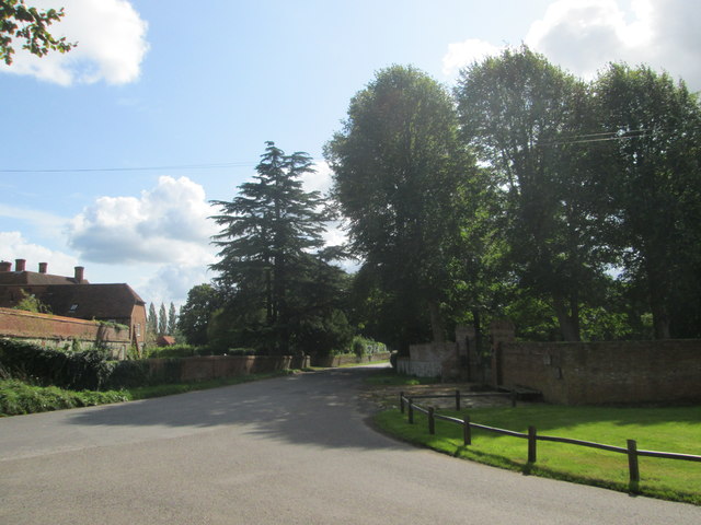
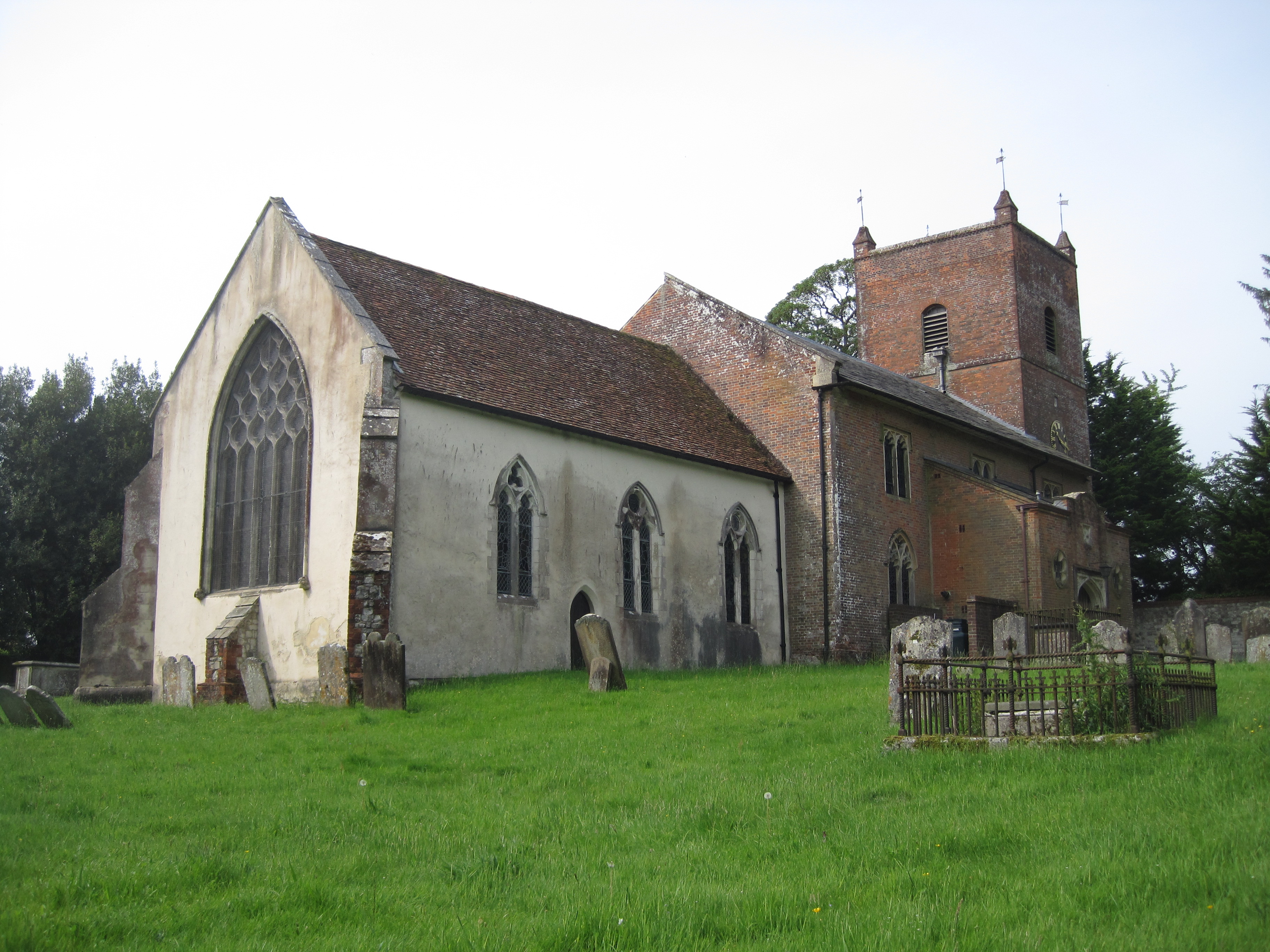
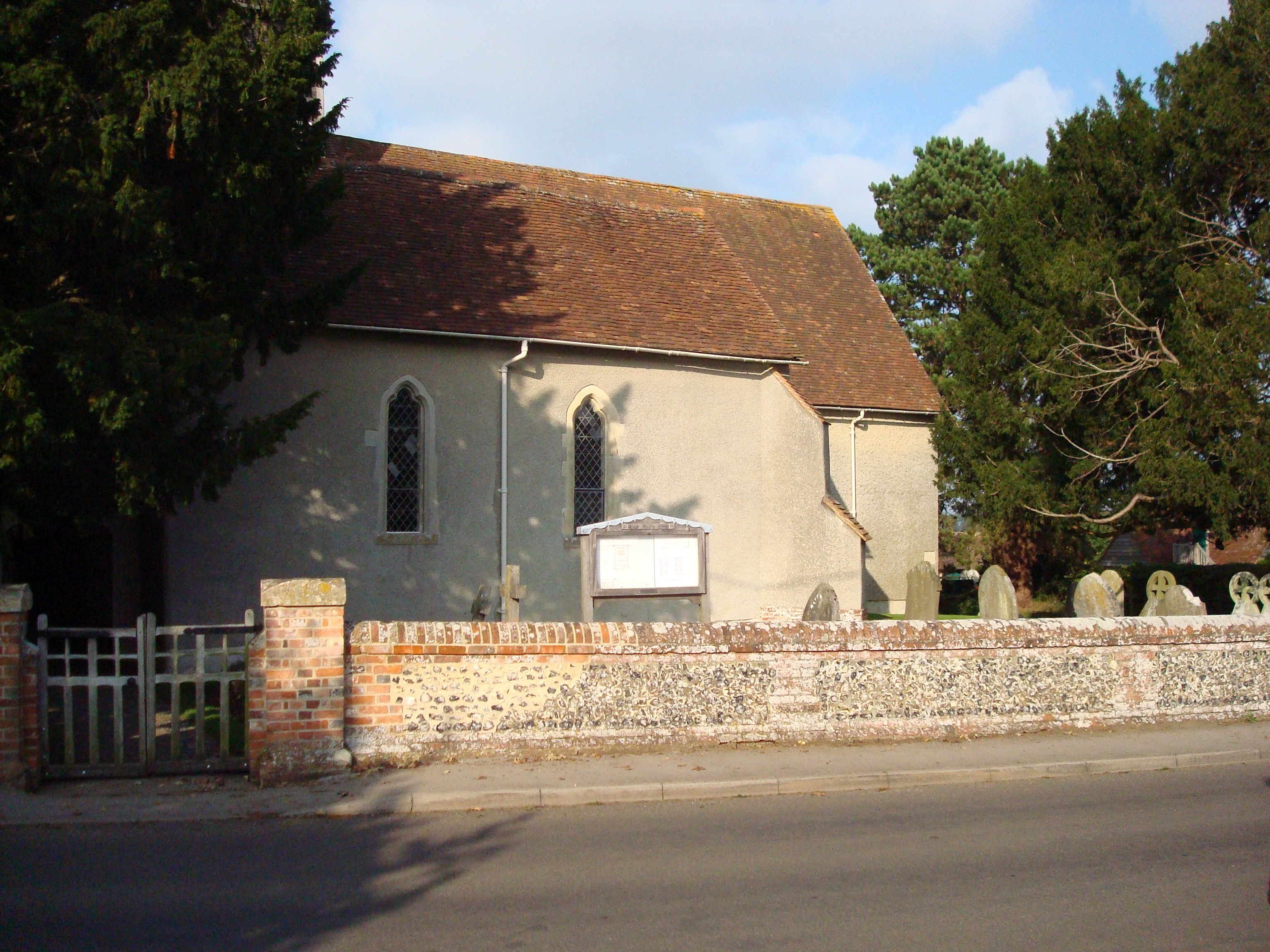
Broadlands Copse Images

Images are sourced within 2km of 51.194887/-0.92983213 or Grid Reference SU7444. Thanks to Geograph Open Source API. All images are credited.

Farmland, Froyle An arable landscape to the west of Upper Froyle.
Farmland, Froyle
An arable landscape to the west of Upper Froyle.
Pasture, Froyle Sheep grazing to the east of houses on Burnham Square.
Pasture, Froyle
Sheep grazing to the east of houses on Burnham Square.
Farmland, Froyle Stubble, autumnal trees and a white house to the south of Lower Froyle.
Farmland, Froyle
Stubble, autumnal trees and a white house to the south of Lower Froyle.
Old Treloar School Site Redevelopment The School has moved from the village. A major new development has been turning the site to new uses, mainly housing. 

Linden Homes - <span class="nowrap"><a title="http://www.lindenhomes.co.uk/developments/hampshire/froyle-park-upper-froyle" rel="nofollow ugc noopener" href="http://www.lindenhomes.co.uk/developments/hampshire/froyle-park-upper-froyle">Link</a><img style="margin-left:2px;" alt="External link" title="External link - shift click to open in new window" src="https://s1.geograph.org.uk/img/external.png" width="10" height="10"/></span>
Old Treloar School Site Redevelopment
The School has moved from the village. A major new development has been turning the site to new uses, mainly housing. Linden Homes - LinkExternal link
Upper Froyle
Upper Froyle
Old Treloar School
Old Treloar School
Saint Swithun's Way - Near Upper Froyle Village Road leading to the Church and old school.
Saint Swithun's Way - Near Upper Froyle Village
Road leading to the Church and old school.
Fields near Upper Froyle
Sheep Farm
Sheep Farm
Saint Swithun's Way
Saint Swithun's Way
The Anchor Inn - Lower Froyle Web site : <span class="nowrap"><a title="http://anchorinnatlowerfroyle.co.uk/" rel="nofollow ugc noopener" href="http://anchorinnatlowerfroyle.co.uk/">Link</a><img style="margin-left:2px;" alt="External link" title="External link - shift click to open in new window" src="https://s1.geograph.org.uk/img/external.png" width="10" height="10"/></span>
The Anchor Inn - Lower Froyle
Web site : LinkExternal link
Upper Froyle
Upper Froyle
St Swithun’s Way signs, Upper Froyle The St Swithun’s Way runs for 34 miles between Winchester in Hampshire and Farnham in Surrey.  The waymarker for the route shows a green arrow with a shell and two croziers on a white circular background. The waymarked route is generally considered to be the first part of the historical Pilgrim’s Way since it links up with the North Downs Way at Farnham. St Swithun, who the route is named after, was born in Winchester.
St Swithun’s Way signs, Upper Froyle
The St Swithun’s Way runs for 34 miles between Winchester in Hampshire and Farnham in Surrey. The waymarker for the route shows a green arrow with a shell and two croziers on a white circular background. The waymarked route is generally considered to be the first part of the historical Pilgrim’s Way since it links up with the North Downs Way at Farnham. St Swithun, who the route is named after, was born in Winchester.
Road junction, Upper Froyle Upper Froyle is a village in east Hampshire and is passed through on the St Swithun’s Way which coincides with part of the much longer Pilgrim’s Way.
Road junction, Upper Froyle
Upper Froyle is a village in east Hampshire and is passed through on the St Swithun’s Way which coincides with part of the much longer Pilgrim’s Way.
Road leading north east, Upper Froyle The St Swithun's Way leaves the road ahead to cross a field on the right just before the ivy-covered house seen in this photo.
Road leading north east, Upper Froyle
The St Swithun's Way leaves the road ahead to cross a field on the right just before the ivy-covered house seen in this photo.
Froyle Park Pond
Froyle Park Pond
The Anchor pub near to Lower Froyle
Path beside Upper Froyle cemetery
Show me another place!

Broadlands Copse is located at Grid Ref: SU7444 (Lat: 51.194887, Lng: -0.92983213)

Administrative County: Hampshire

District: East Hampshire

Police Authority: Hampshire

What 3 Words

///nuptials.lobby.shed. Near Long Sutton, Hampshire

Related Wikis

Froyle

Froyle is a village and civil parish in the East Hampshire district of Hampshire, England. It is 3.6 miles (5.8 km) northeast of Alton. The nearest railway...

North East Hampshire (UK Parliament constituency)

North East Hampshire is a constituency represented in the House of Commons of the UK Parliament by Ranil Jayawardena, a Conservative. == History == The...

Lord Wandsworth College

Lord Wandsworth College (LWC) is a co-educational private school in Long Sutton, Hampshire, England, for day and boarding pupils between the ages of 11...

Well, Hampshire

Well is a small village and civil parish in the Hart district of Hampshire, England. It is in the civil parish of Long Sutton. The village lies approximately...

Holybourne Hill

Holybourne Hill or Holybourne Down is one of the highest points in the county of Hampshire, England, and in the Hampshire Downs, rising to 225 metres...

Pax Hill

Pax Hill (Peace Hill), near Bentley, Hampshire, England, was the family home of Robert Baden-Powell, founder of the Scout movement, and his wife, Olave...

Long Sutton, Hampshire

Long Sutton is a small village and civil parish in the Hart district of Hampshire, England. The village lies about 3 miles (4.8 km) south of the town of...

Holybourne Freight railway station

Holybourne Freight railway station is where freight trains serving Holybourne Oil Terminal terminate. These freight trains ran daily from Bentley and Alton...

Nearby Amenities

Located within 500m of 51.194887,-0.92983213
Tourism: viewpoint
Lat/Long: 51.1927878/-0.9333525
The data included in this document is from www.openstreetmap.org. The data is made available under ODbL.

Have you been to Broadlands Copse?

Leave your review of Broadlands Copse below (or comments, questions and feedback).