Little Wood
Wood, Forest in Hampshire East Hampshire
England
Little Wood

Little Wood is a small forest located in the county of Hampshire, England. Situated near the village of Wood, this woodland area covers approximately 50 acres and is a popular destination for nature enthusiasts and hikers alike.
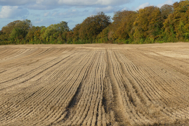
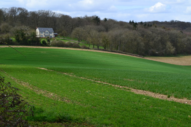
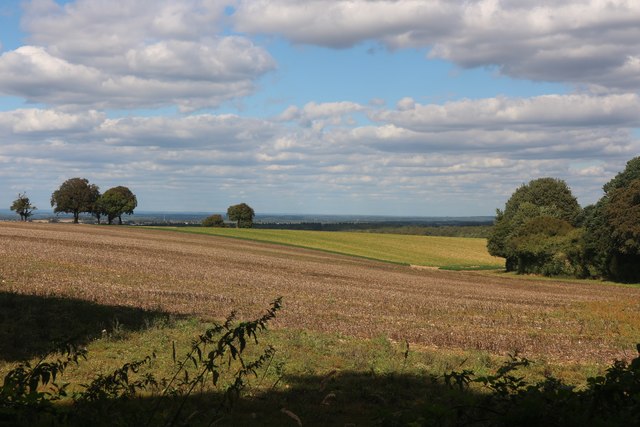
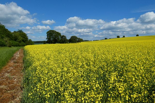
The forest is known for its diverse range of tree species, including oak, beech, and birch, which provide a picturesque and serene environment for visitors to enjoy. The thick canopy formed by these trees offers shade during the summer months and creates a captivating display of colors during the autumn season.
Little Wood is home to a variety of wildlife, making it an ideal spot for animal lovers and birdwatchers. Visitors may catch glimpses of deer, foxes, rabbits, and squirrels, as well as various species of birds such as woodpeckers, owls, and thrushes.
For those seeking outdoor activities, the forest offers several well-marked trails that wind through its picturesque landscape. These trails are suitable for both casual walkers and more adventurous hikers. The forest also provides ample space for picnics and family outings, with designated areas equipped with benches and tables.
It is worth noting that Little Wood is accessible year-round, but visitors are advised to wear appropriate footwear as the forest floor can be muddy, especially during wet weather. Additionally, the forest is managed by the local council, ensuring its preservation and upkeep for future generations to enjoy.
If you have any feedback on the listing, please let us know in the comments section below.
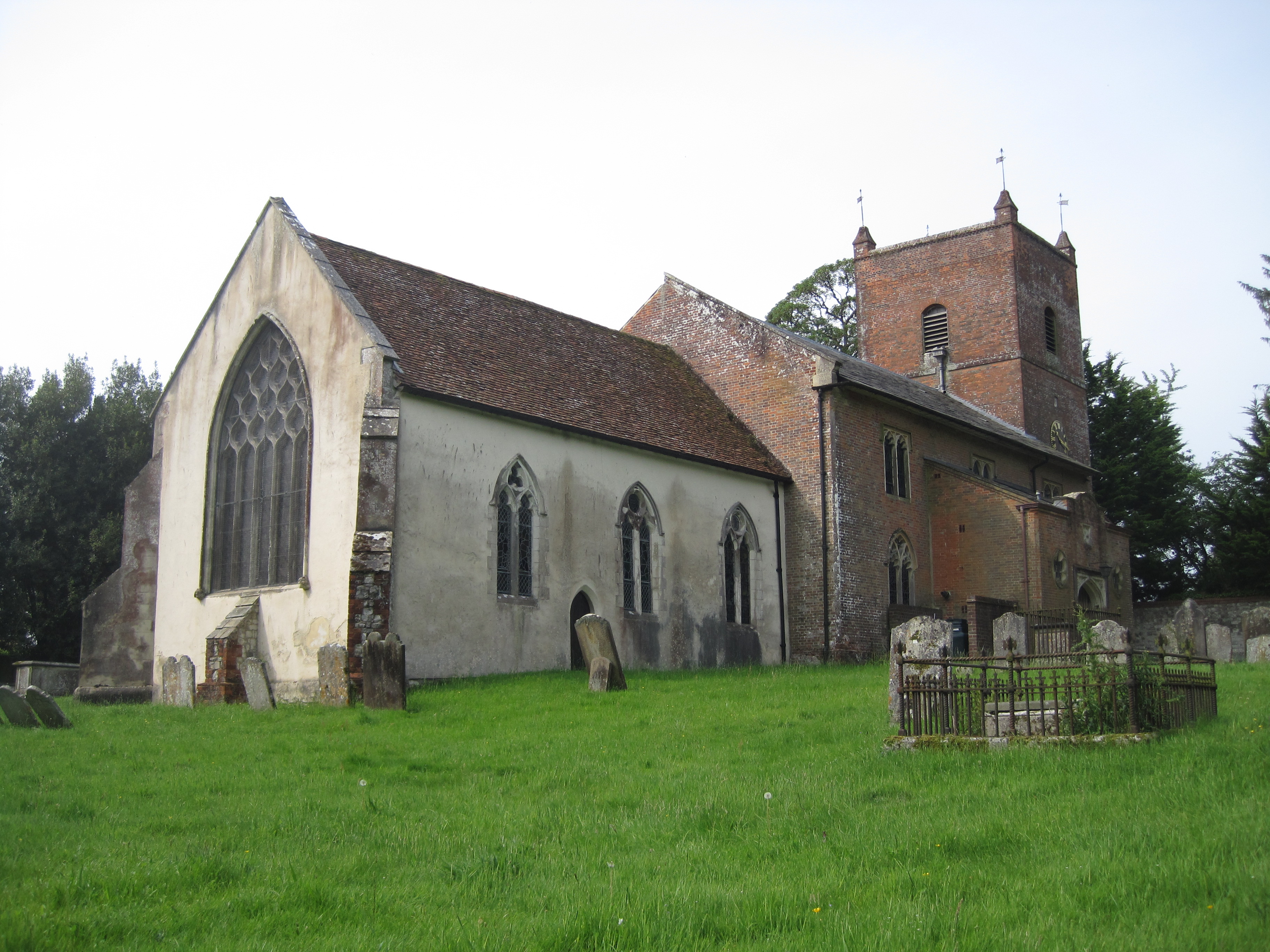
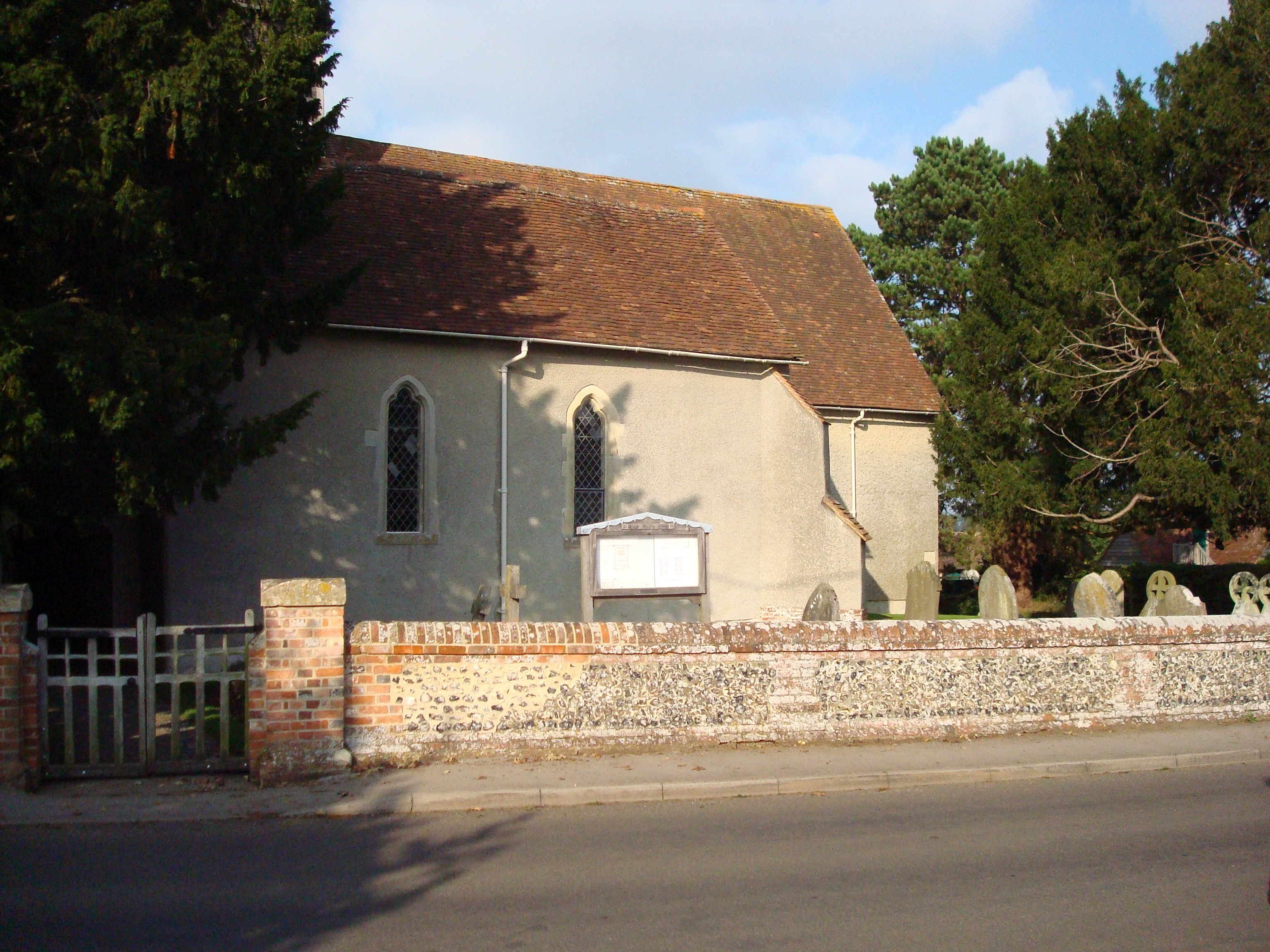
Little Wood Images
Images are sourced within 2km of 51.194592/-0.94093017 or Grid Reference SU7444. Thanks to Geograph Open Source API. All images are credited.


Little Wood is located at Grid Ref: SU7444 (Lat: 51.194592, Lng: -0.94093017)
Administrative County: Hampshire
District: East Hampshire
Police Authority: Hampshire
What 3 Words
///swarm.sits.workroom. Near Long Sutton, Hampshire
Nearby Locations
Related Wikis

Holybourne Hill
Holybourne Hill or Holybourne Down is one of the highest points in the county of Hampshire, England, and in the Hampshire Downs, rising to 225 metres...
Froyle
Froyle is a village and civil parish in the East Hampshire district of Hampshire, England. It is 3.6 miles (5.8 km) northeast of Alton. The nearest railway...

North East Hampshire (UK Parliament constituency)
North East Hampshire is a constituency represented in the House of Commons of the UK Parliament by Ranil Jayawardena, a Conservative. == History == The...

Lord Wandsworth College
Lord Wandsworth College (LWC) is a co-educational private school in Long Sutton, Hampshire, England, for day and boarding pupils between the ages of 11...
Long Sutton, Hampshire
Long Sutton is a small village and civil parish in the Hart district of Hampshire, England. The village lies about 3 miles (4.8 km) south of the town of...

Well, Hampshire
Well is a small village and civil parish in the Hart district of Hampshire, England. It is in the civil parish of Long Sutton. The village lies approximately...
Holybourne Freight railway station
Holybourne Freight railway station is where freight trains serving Holybourne Oil Terminal terminate. These freight trains ran daily from Bentley and Alton...
Golden Pot
Golden Pot is a hamlet in the East Hampshire district of Hampshire, England. It lies 2.4 miles (3.9 km) north of Alton, on the B3349 road. The nearest...
Have you been to Little Wood?
Leave your review of Little Wood below (or comments, questions and feedback).