East Dulwich
Settlement in Surrey
England
East Dulwich
East Dulwich is a vibrant and diverse district located in the London Borough of Southwark, England. Despite its name, it is not located in Surrey, but rather in southeast London. Situated just over 5 miles from the city center, East Dulwich is a popular residential area known for its leafy streets, Victorian architecture, and thriving community spirit.
The heart of East Dulwich is Lordship Lane, a bustling high street lined with an array of independent shops, trendy boutiques, and charming cafes. The area also boasts a vibrant food scene, with numerous restaurants and gastro-pubs offering a diverse range of cuisines to suit every palate.
Green spaces are abundant in East Dulwich, with Dulwich Park being a favorite destination for locals. This picturesque park is home to a boating lake, sports facilities, and a café, making it an ideal spot for relaxation and outdoor activities.
Education is highly regarded in East Dulwich, and the area is known for its excellent schools, both state and private. The renowned Dulwich College, established in 1619, is located nearby and adds to the area's academic reputation.
Transport links in East Dulwich are convenient, with regular bus services connecting the area to other parts of London. North Dulwich railway station provides direct train services to central London, making commuting a breeze for residents.
Overall, East Dulwich offers a mix of urban convenience and suburban charm, making it an attractive place to live for families, professionals, and those seeking a vibrant community atmosphere.
If you have any feedback on the listing, please let us know in the comments section below.
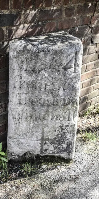
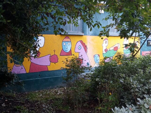
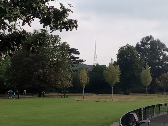
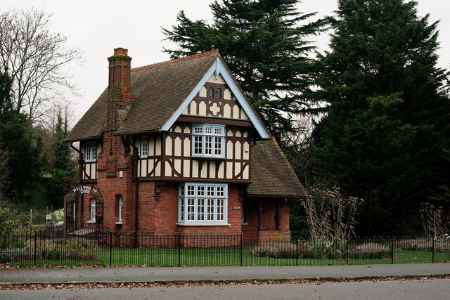
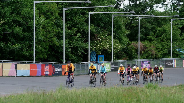
East Dulwich Images
Images are sourced within 2km of 51.456776/-0.073175 or Grid Reference TQ3374. Thanks to Geograph Open Source API. All images are credited.


East Dulwich is located at Grid Ref: TQ3374 (Lat: 51.456776, Lng: -0.073175)
Unitary Authority: Southwark
Police Authority: Metropolitan
What 3 Words
///strain.badge.garden. Near Peckham, London
Nearby Locations
Related Wikis

East Dulwich Comedy
East Dulwich Comedy was a British comedy club that started above the East Dulwich Tavern in East Dulwich in November 1988. It has also been located at...

Dulwich Outdoor Gallery
Dulwich Outdoor Gallery (DOG) is a collection of street art in south London, with works based on traditional paintings in Dulwich Picture Gallery. The...
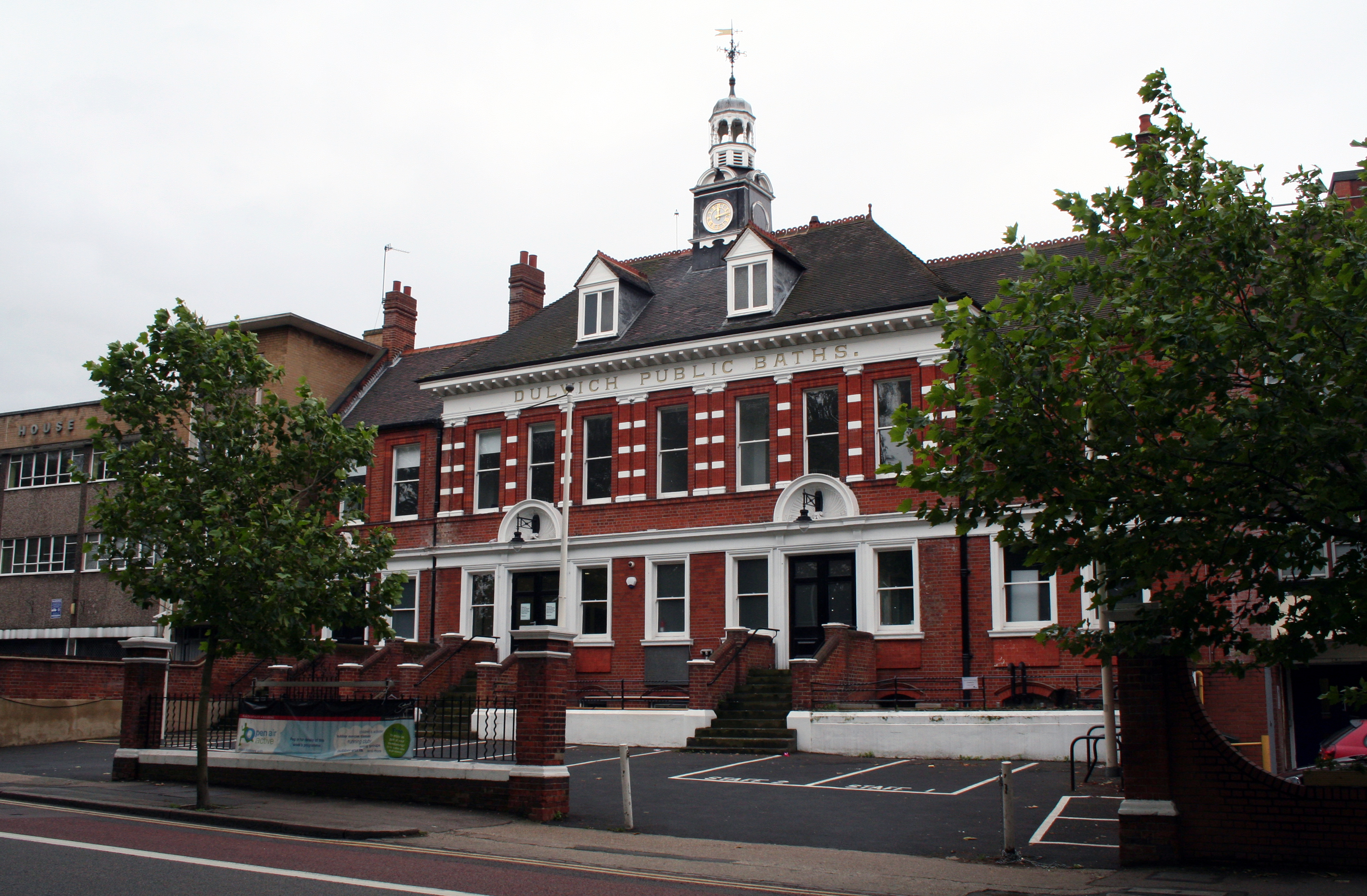
Dulwich Public Baths
Dulwich Public Baths (also Dulwich Leisure Centre) is a swimming pool and gym in Dulwich, South London. It opened in 1892, and is London's oldest public...

Dulwich Community Hospital
Dulwich Community Hospital was a hospital located in Dulwich, in South London. == History == The hospital has its origins in the St Saviour's Union Infirmary...
Nearby Amenities
Located within 500m of 51.456776,-0.073175Have you been to East Dulwich?
Leave your review of East Dulwich below (or comments, questions and feedback).