Noar Hill Hanger
Wood, Forest in Hampshire East Hampshire
England
Noar Hill Hanger

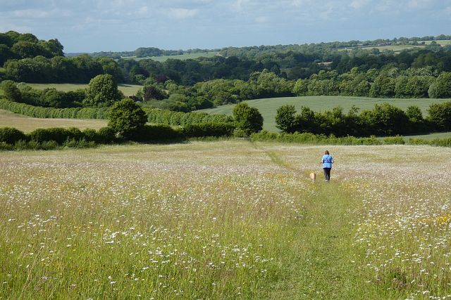
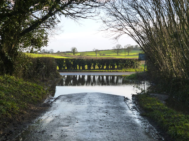
Noar Hill Hanger is a picturesque woodland located in Hampshire, England. Covering an area of approximately 64 hectares, it is situated on the northern edge of the South Downs National Park, near the village of Selborne. The woodland is renowned for its natural beauty and rich biodiversity, making it a popular destination for nature enthusiasts and hikers.
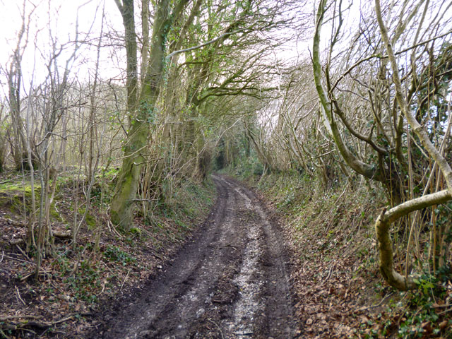
The main feature of Noar Hill Hanger is its ancient beech and yew trees, some of which are estimated to be over 400 years old. These majestic trees provide a stunning canopy that creates a tranquil and serene atmosphere throughout the woodland. The forest floor is covered in a thick carpet of bluebells during the spring months, creating a breathtaking sight for visitors.
Noar Hill Hanger is also home to a diverse range of wildlife. The woodland supports a variety of bird species, including woodpeckers, owls, and warblers. Mammals such as deer, foxes, and badgers can also be spotted roaming through the forest. Additionally, the woodland is a haven for insects and butterflies, with numerous species making their homes among the wildflowers and grasses.
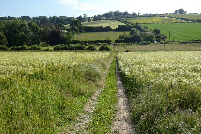
The woodland offers a network of well-maintained footpaths and trails, allowing visitors to explore its beauty at their own pace. The paths wind their way through the ancient trees, offering glimpses of the surrounding countryside and stunning views of the South Downs. Noar Hill Hanger is also part of a larger nature reserve, which includes chalk grasslands and wildflower meadows, further enhancing its ecological significance.
Overall, Noar Hill Hanger is a remarkable woodland that combines natural beauty, historical significance, and ecological importance. It provides a perfect escape from the hustle and bustle of everyday life, inviting visitors to immerse themselves in the tranquility and serenity of nature.
If you have any feedback on the listing, please let us know in the comments section below.
Noar Hill Hanger Images
Images are sourced within 2km of 51.076535/-0.93738895 or Grid Reference SU7431. Thanks to Geograph Open Source API. All images are credited.


Noar Hill Hanger is located at Grid Ref: SU7431 (Lat: 51.076535, Lng: -0.93738895)
Administrative County: Hampshire
District: East Hampshire
Police Authority: Hampshire
What 3 Words
///securing.cult.dizziness. Near Liss, Hampshire
Nearby Locations
Related Wikis

Noar Hill
Noar Hill is a 63-hectare (160-acre) biological Site of Special Scientific Interest south of Selborne in Hampshire. It is a Nature Conservation Review...

Empshott
Empshott is a village and former civil parish, now in the parish of Hawkley, in the East Hampshire district of Hampshire, England. It lies 3.5 miles (5...

Upper Greensand Hangers: Empshott to Hawkley
Upper Greensand Hangers: Empshott to Hawkley is a 37.7-hectare (93-acre) biological Site of Special Scientific Interest north of Petersfield in Hampshire...

Goleigh Hill
Goleigh Hill is one of the highest points in the county of Hampshire, England. It is part of the Hampshire Downs and reaches a height of 220 metres (720...

Selborne Hill
Selborne Hill is one of the highest points in the county of Hampshire, England. It is one of the East Hampshire Hangers, a line of prominent hills on the...

Hawkley
Hawkley is a village, ecclesiastical parish and civil parish in the East Hampshire district of Hampshire, England. It is 3.5 miles (5.7 km) north of Petersfield...

Selborne
Selborne is a village in Hampshire, England, 3.9 miles (6.3 km) south of Alton, and just within the northern boundary of the South Downs National Park...
Plestor House, Selborne
Plestor House is a house in the centre of Selborne, Hampshire, England. The house is named for its location — adjacent to the village's plestor. Architecturally...
Nearby Amenities
Located within 500m of 51.076535,-0.93738895Have you been to Noar Hill Hanger?
Leave your review of Noar Hill Hanger below (or comments, questions and feedback).