Church Covert

Wood, Forest in Oxfordshire South Oxfordshire

England

Church Covert

Farmland, Chinnor The line of the footpath has been made clear as it crosses an arable field with some of the mapped boundaries removed.
Farmland, Chinnor Credit: Andrew Smith

Church Covert is a small woodland located in Oxfordshire, England. Situated near the village of Wood, it covers an area of approximately 20 acres. The woodland is primarily composed of deciduous trees, with species such as oak, beech, and ash dominating the landscape. These trees create a dense canopy that provides shade and creates a serene atmosphere within the woodland.

The forest floor is covered with a diverse array of vegetation, including ferns, bluebells, and wild garlic, adding to the natural beauty of the area. The undergrowth is also home to a variety of wildlife, such as rabbits, squirrels, and birds, making it a popular spot for nature enthusiasts and birdwatchers.

Church Covert is known for its peaceful ambiance, making it an ideal place for relaxation and contemplation. The woodland is intersected by footpaths and trails, allowing visitors to explore its different sections and discover its hidden gems. These pathways are well-maintained, making it accessible for visitors of all ages.

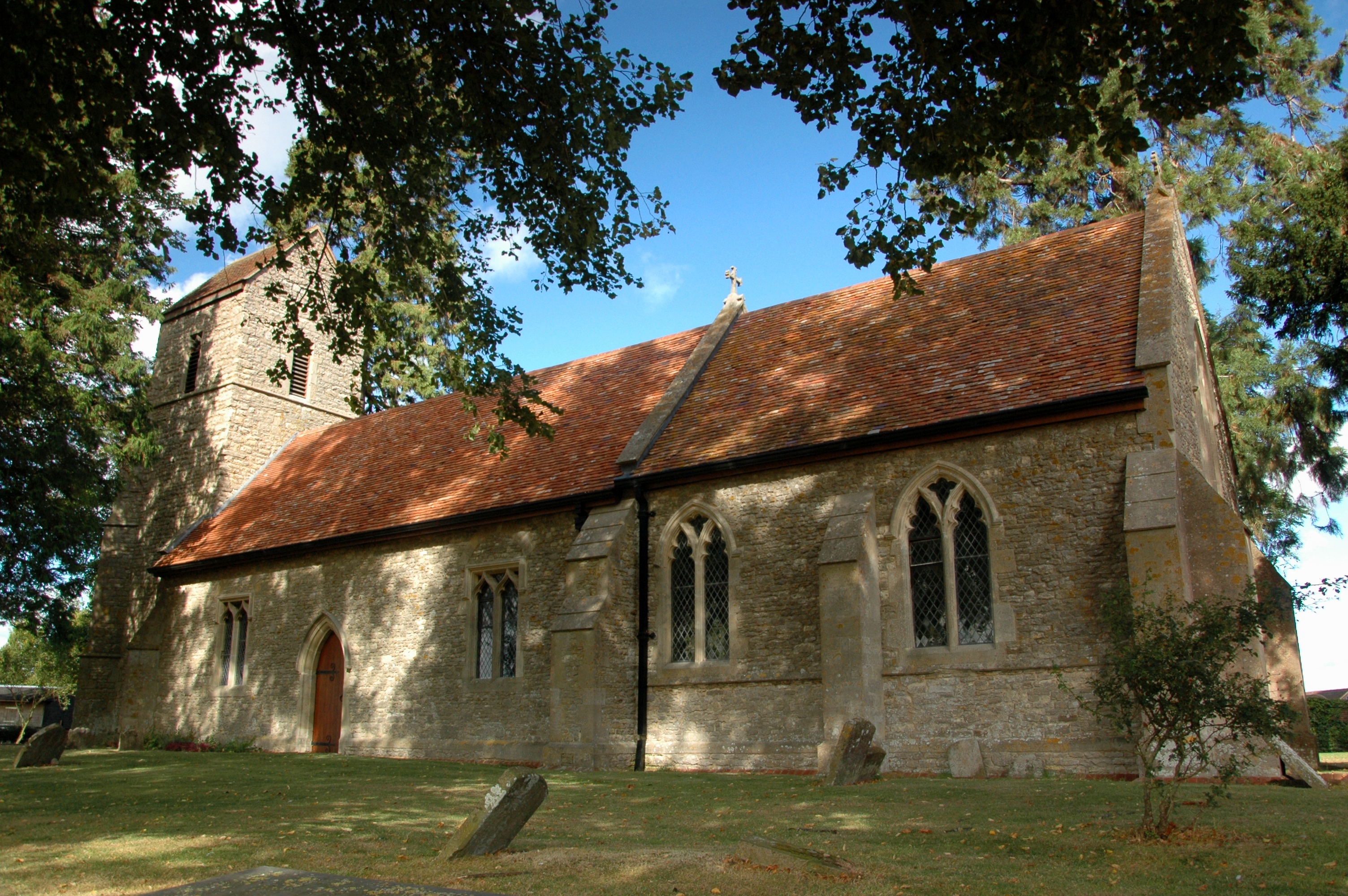
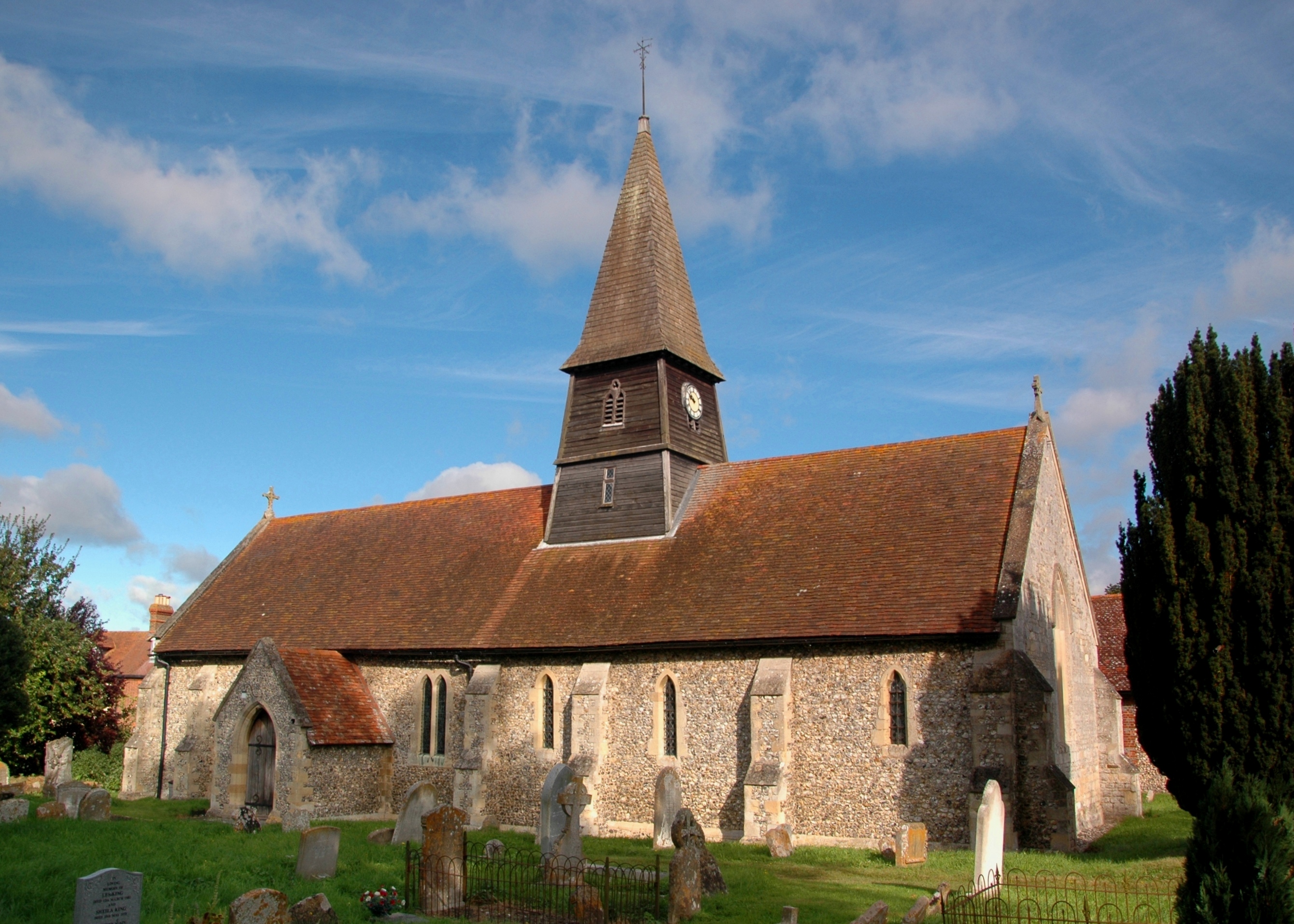
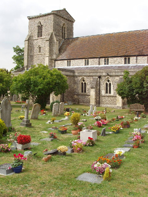
The woodland's name, Church Covert, is derived from the presence of a small church nearby. This adds a historical and cultural significance to the area, attracting locals and tourists interested in the region's heritage.

Overall, Church Covert is a charming woodland that offers a tranquil retreat from the hustle and bustle of everyday life. With its diverse flora and fauna, well-maintained trails, and historical context, it is a popular destination for nature lovers and those seeking a peaceful escape in the heart of Oxfordshire.

If you have any feedback on the listing, please let us know in the comments section below.

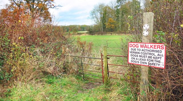
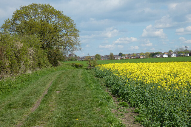
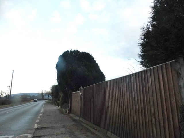
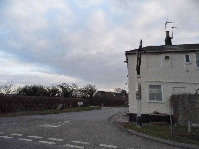
Church Covert Images

Images are sourced within 2km of 51.715659/-0.92478117 or Grid Reference SP7402. Thanks to Geograph Open Source API. All images are credited.

Farmland, Chinnor The line of the footpath has been made clear as it crosses an arable field with some of the mapped boundaries removed.
Farmland, Chinnor
The line of the footpath has been made clear as it crosses an arable field with some of the mapped boundaries removed.
Great Covert A track into the wood.
The old green sign is a substantial bit of work made out of cast iron. It warns against fires.
Great Covert
A track into the wood. The old green sign is a substantial bit of work made out of cast iron. It warns against fires.
Danger for Dogs On a footpath near Emmington.
Danger for Dogs
On a footpath near Emmington.
Farmland, Crowell The edge of Chinnor is seen from the Lower Icknield Way.
Farmland, Crowell
The edge of Chinnor is seen from the Lower Icknield Way.
Chinnor : view from Chinnor Hill
Farmland, Sydenham Beans and the Chiltern scarp are seen from the  bridleway to Sydenham Grange.
Farmland, Sydenham
Beans and the Chiltern scarp are seen from the bridleway to Sydenham Grange.
Pilmore Meadow, Chinnor A recently built street on the edge of Chinnor.
Pilmore Meadow, Chinnor
A recently built street on the edge of Chinnor.
Chinnor Windmill This splendid mill has been reconstructed almost from scratch.
The original mill was on the other side of the road but the site was cleared for housing in the 1960s.
Using information from old pictures plus a few remaining original bits and pieces, the mill has been recreated by enthusiasts.
This picture is a follow up to <a href="https://www.geograph.org.uk/photo/1849556">SP7401 : Chinnor post mill undergoing restoration.</a> which shows the mill before the top was lowered onto the base by crane.
Here is a clip off You Tube showing that being done. <span class="nowrap"><a title="https://www.youtube.com/watch?v=T8ta6BE-124" rel="nofollow ugc noopener" href="https://www.youtube.com/watch?v=T8ta6BE-124">Link</a><img style="margin-left:2px;" alt="External link" title="External link - shift click to open in new window" src="https://s1.geograph.org.uk/img/external.png" width="10" height="10"/></span>
Chinnor Windmill
This splendid mill has been reconstructed almost from scratch. The original mill was on the other side of the road but the site was cleared for housing in the 1960s. Using information from old pictures plus a few remaining original bits and pieces, the mill has been recreated by enthusiasts. This picture is a follow up to SP7401 : Chinnor post mill undergoing restoration. which shows the mill before the top was lowered onto the base by crane. Here is a clip off You Tube showing that being done. LinkExternal link
B4445 near Emmington
B4445 Thame Road
B4445 Thame Road
B4009 Lower Icknield Way looking east
Thame Road leaving Thame
Bungalow on Thame Road, Sydenham
Thame Road, Sydenham
Sydenham at the junction of Thame Road The pub is the Inn at Emmington
Sydenham at the junction of Thame Road
The pub is the Inn at Emmington
Thame Road entering Chinnor
Field and electrical supply by Thame Road The fence and gates were added after 2011 when it was all a hedge
Field and electrical supply by Thame Road
The fence and gates were added after 2011 when it was all a hedge
Pylon by Thame Road, Chinnor
Show me another place!

Church Covert is located at Grid Ref: SP7402 (Lat: 51.715659, Lng: -0.92478117)

Administrative County: Oxfordshire

District: South Oxfordshire

Police Authority: Thames Valley

What 3 Words

///subplot.unless.roof. Near Chinnor, Oxfordshire

Nearby Locations

Emmington Church Covert

Related Wikis

Emmington

Emmington is a village in the civil parish of Chinnor, in the South Oxfordshire district, in the county of Oxfordshire, England. It is about 4.5 miles...

Sydenham, Oxfordshire

Sydenham is a village and civil parish about 3 miles (5 km) southeast of Thame in Oxfordshire. To the south the parish is bounded by the ancient Lower...

Chinnor F.C.

Chinnor Football Club is a football club based in Chinnor, Oxfordshire, England. They are currently members of the Hellenic League Division Two East and...

Henton, Oxfordshire

Henton is a hamlet in Oxfordshire, about 3 miles (5 km) west of Princes Risborough in Buckinghamshire. Henton is in the civil parish of Chinnor, just off...

Chinnor

Chinnor is a large village and civil parish in South Oxfordshire about 4 miles (6.4 km) southeast of Thame, close to the border with Buckinghamshire. The...

Oakley, Oxfordshire

Oakley is a spring line settlement at the foot of the Chiltern Hills on the route of the Lower Icknield Way. It is about 4.5 miles (7.2 km) southeast of...

National Cycle Route 57

National Cycle Route 57 is part of the United Kingdom's National Cycle Network. When complete, it will run west to east from Farmington, Gloucestershire...

Phoenix Trail

The Phoenix Trail is a 7-mile (11 km) footpath and cycleway which runs between the market towns of Thame in South Oxfordshire and Princes Risborough in...

Related Videos

DO NOT SWIM in this Nature Reserve Lake! (Oxfordshire, England) 🏴󠁧󠁢󠁥󠁮󠁧󠁿 | Vlog

We venture into the Oxfordshire countryside to discover a beautiful (but highly toxic...) lake, hidden next to a Nature Reserve.

Just pootling along - a splendid little Bloody-nosed beetle

A Bloody-nosed beetle (Timarcha tenebricosa) bumbling along a path in the Chilterns in southern England. These beetles are ...

The Ridgeway - Chinnor - Oxfordshire

Oxfordshire Playlist: https://youtube.com/playlist?list=PL3rSdzPpvGrt_7xpiQIGLEkEAx1ahmvqp Car Park: ...

Days Out: Chinnor & Princes Risborough

A visit to the Chilterns at the Chinnor and Princes Risborough. Follow me on Facebook at- ...

Nearby Amenities

Located within 500m of 51.715659,-0.92478117
Emmington
Place: village
Source: OS_OpenData_StreetView
Wikidata: Q5373588
Wikipedia: en:Emmington
Lat/Long: 51.7145469/-0.9315496
Material: wood
Power: pole
Source: Bing
Lat/Long: 51.7146262/-0.9197606
Material: wood
Power: pole
Source: Bing
Lat/Long: 51.7131851/-0.921265
Material: wood
Power: pole
Source: Bing
Lat/Long: 51.7154097/-0.918891
Material: wood
Power: pole
Source: Bing
Lat/Long: 51.7116115/-0.922924
Material: wood
Power: pole
Source: Bing
Lat/Long: 51.7138033/-0.9206144
Material: wood
Power: pole
Source: Bing
Lat/Long: 51.7162423/-0.9179765
Material: wood
Power: pole
Source: Bing
Lat/Long: 51.7124123/-0.9220778
Material: wood
Power: pole
Source: Bing
Lat/Long: 51.7168909/-0.9186153
Material: wood
Power: pole
Source: Bing
Lat/Long: 51.7161913/-0.9194629
Material: wood
Power: pole
Source: Bing
Lat/Long: 51.7155382/-0.9202354
Material: wood
Power: pole
Source: Bing
Lat/Long: 51.7149017/-0.9210079
Material: wood
Power: pole
Source: Bing
Lat/Long: 51.7142619/-0.9217455
Material: wood
Power: pole
Source: Bing
Lat/Long: 51.7136288/-0.9225126
Material: wood
Power: pole
Source: Bing
Lat/Long: 51.712748/-0.9234272
Material: wood
Power: pole
Source: Bing
Lat/Long: 51.7119236/-0.9242426
The data included in this document is from www.openstreetmap.org. The data is made available under ODbL.

Have you been to Church Covert?

Leave your review of Church Covert below (or comments, questions and feedback).