Northfield Wood

Wood, Forest in Hampshire East Hampshire

England

Northfield Wood

Traction engine turning from Waterworks Road into Long Lane
Traction engine turning from Waterworks Road into Long Lane Credit: Basher Eyre

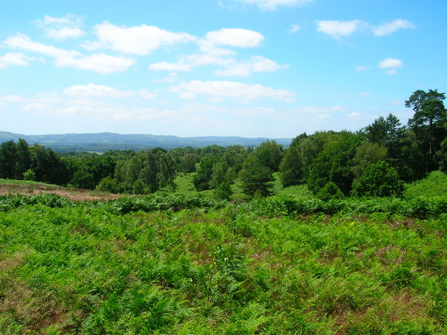
Northfield Wood is a picturesque forest located in Hampshire, England. Covering an area of approximately 50 hectares, it is a haven for nature enthusiasts and a popular destination for outdoor activities. The wood is situated on the outskirts of a small village, surrounded by rolling hills and meandering streams.

Known for its diverse range of tree species, Northfield Wood boasts a rich and vibrant ecosystem. The dense forest is primarily composed of oak, beech, and birch trees, creating a stunning canopy that provides shelter for a wide variety of bird species such as woodpeckers and owls. The forest floor is adorned with a carpet of wildflowers, adding to its natural beauty and attracting an array of insects and butterflies.

Visitors to Northfield Wood can explore its numerous walking trails, which wind their way through the forest and offer breathtaking views of the surrounding countryside. The wood is also home to a small, secluded pond that serves as a peaceful spot for reflection and observation of wildlife.

The wood is managed by the local forestry commission, ensuring its preservation and protection for future generations. Conservation efforts include controlled logging to maintain a healthy and sustainable forest environment.

Northfield Wood is a serene and tranquil escape from the hustle and bustle of everyday life. Its natural beauty, diverse wildlife, and well-maintained trails make it an ideal destination for nature lovers, hikers, and photographers alike.

If you have any feedback on the listing, please let us know in the comments section below.

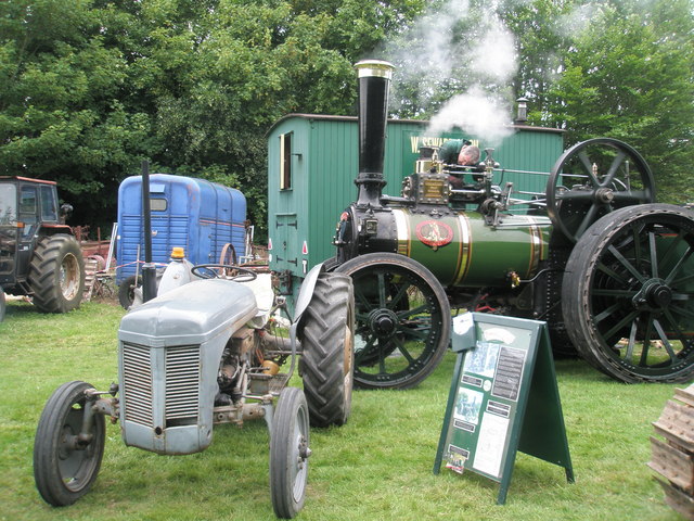
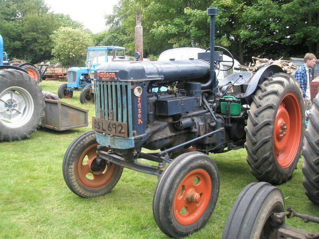
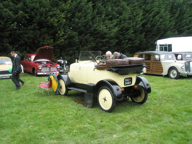
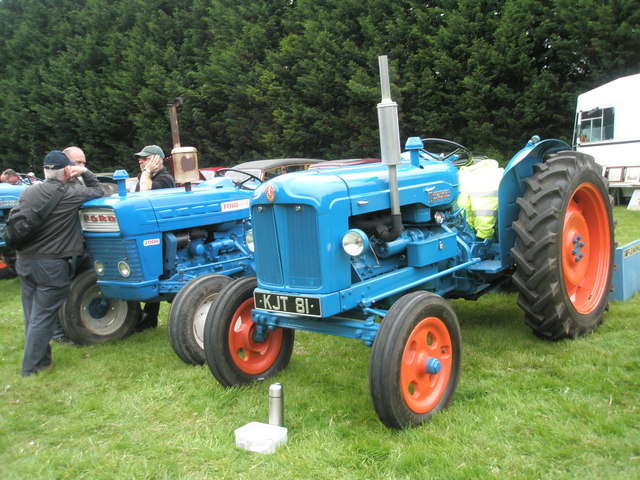
Northfield Wood Images

Images are sourced within 2km of 51.024923/-0.94189149 or Grid Reference SU7425. Thanks to Geograph Open Source API. All images are credited.

Traction engine turning from Waterworks Road into Long Lane
Traction engine in Waterworks Road No, not an item of bed linen, or writing paper, but a village in Hampshire. Its history dates back over a thousand years but it has only recently become a parish <span class="nowrap"><a title="https://www.sheetparishcouncil.gov.uk/parishmap.html" rel="nofollow ugc noopener" href="https://www.sheetparishcouncil.gov.uk/parishmap.html">Link</a><img style="margin-left:2px;" alt="External link" title="External link - shift click to open in new window" src="https://s1.geograph.org.uk/img/external.png" width="10" height="10"/></span> In that same decade it also benefitted from the opening of the Petersfield by-pass, thus turning London Road from an A road connecting London to Portsmouth into a B road from the town to Rake, a hamlet on the Hampshire/ Sussex border. The church, dedicated to St Mary Magdalene, dates from 1868; and its school from 1888. It also has a pub, village hall, little used telephone box and an osteopathy clinic
Traction engine in Waterworks Road
No, not an item of bed linen, or writing paper, but a village in Hampshire. Its history dates back over a thousand years but it has only recently become a parish LinkExternal link In that same decade it also benefitted from the opening of the Petersfield by-pass, thus turning London Road from an A road connecting London to Portsmouth into a B road from the town to Rake, a hamlet on the Hampshire/ Sussex border. The church, dedicated to St Mary Magdalene, dates from 1868; and its school from 1888. It also has a pub, village hall, little used telephone box and an osteopathy clinic
Tractors in School Lane No, not an item of bed linen, or writing paper, but a village in Hampshire. Its history dates back over a thousand years but it has only recently become a parish <span class="nowrap"><a title="https://www.sheetparishcouncil.gov.uk/parishmap.html" rel="nofollow ugc noopener" href="https://www.sheetparishcouncil.gov.uk/parishmap.html">Link</a><img style="margin-left:2px;" alt="External link" title="External link - shift click to open in new window" src="https://s1.geograph.org.uk/img/external.png" width="10" height="10"/></span> In that same decade it also benefitted from the opening of the Petersfield by-pass, thus turning London Road from an A road connecting London to Portsmouth into a B road from the town to Rake, a hamlet on the Hampshire/ Sussex border. The church, dedicated to St Mary Magdalene, dates from 1868; and its school from 1888. It also has a pub, village hall, little used telephone box and an osteopathy clinic
Tractors in School Lane
No, not an item of bed linen, or writing paper, but a village in Hampshire. Its history dates back over a thousand years but it has only recently become a parish LinkExternal link In that same decade it also benefitted from the opening of the Petersfield by-pass, thus turning London Road from an A road connecting London to Portsmouth into a B road from the town to Rake, a hamlet on the Hampshire/ Sussex border. The church, dedicated to St Mary Magdalene, dates from 1868; and its school from 1888. It also has a pub, village hall, little used telephone box and an osteopathy clinic
2011 Vintage Meet at Lord's Farm (1)
2011 Vintage Meet at Lord's Farm (2) Held annually to raise money for Wessex Cancer in memory of Dame Sylvia Hughes, MBE.
2011 Vintage Meet at Lord's Farm (2)
Held annually to raise money for Wessex Cancer in memory of Dame Sylvia Hughes, MBE.
2011 Vintage Meet at Lord's Farm (3) Held annually to raise money for Wessex Cancer in memory of Dame Sylvia Hughes, MBE.
2011 Vintage Meet at Lord's Farm (3)
Held annually to raise money for Wessex Cancer in memory of Dame Sylvia Hughes, MBE.
2011 Vintage Meet at Lord's Farm (4) Held annually to raise money for Wessex Cancer in memory of Dame Sylvia Hughes, MBE.
2011 Vintage Meet at Lord's Farm (4)
Held annually to raise money for Wessex Cancer in memory of Dame Sylvia Hughes, MBE.
2011 Vintage Meet at Lord's Farm (5)
2011 Vintage Meet at Lord's Farm (6) Held annually to raise money for Wessex Cancer in memory of Dame Sylvia Hughes, MBE.
2011 Vintage Meet at Lord's Farm (6)
Held annually to raise money for Wessex Cancer in memory of Dame Sylvia Hughes, MBE.
2011 Vintage Meet at Lord's Farm (7)
2011 Vintage Meet at Lord's Farm (8) Held annually to raise money for Wessex Cancer in memory of Dame Sylvia Hughes, MBE.
2011 Vintage Meet at Lord's Farm (8)
Held annually to raise money for Wessex Cancer in memory of Dame Sylvia Hughes, MBE.
2011 Vintage Meet at Lord's Farm (9)
2011 Vintage Meet at Lord's Farm (10)
2011 Vintage Meet at Lord's Farm (11)
2011 Vintage Meet at Lord's Farm (12) Held annually to raise money for Wessex Cancer in memory of Dame Sylvia Hughes, MBE.
2011 Vintage Meet at Lord's Farm (12)
Held annually to raise money for Wessex Cancer in memory of Dame Sylvia Hughes, MBE.
2011 Vintage Meet at Lord's Farm (13)
2011 Vintage Meet at Lord's Farm (14)
2011 Vintage Meet at Lord's Farm (15) Held annually to raise money for Wessex Cancer in memory of Dame Sylvia Hughes, MBE.
2011 Vintage Meet at Lord's Farm (15)
Held annually to raise money for Wessex Cancer in memory of Dame Sylvia Hughes, MBE.
Show me another place!

Northfield Wood is located at Grid Ref: SU7425 (Lat: 51.024923, Lng: -0.94189149)

Administrative County: Hampshire

District: East Hampshire

Police Authority: Hampshire

What 3 Words

///boomers.charts.wiped. Near Petersfield, Hampshire

Related Wikis

Steep, Hampshire

Steep is a village and civil parish in the East Hampshire district of Hampshire, England. Its nearest town is Petersfield, which lies 1.4 miles (2.3 km...

Bedales School

Bedales School is a public school (co-educational private school, boarding and day) in the village of Steep, near the market town of Petersfield in Hampshire...

Steep Marsh

Steep Marsh is a small village in the civil parish of Steep situated in the South Downs Area of Outstanding Natural Beauty in the East Hampshire district...

The Harrow, Steep

The Harrow is a Grade II listed public house at Harrow Lane, Steep, Hampshire GU32 2DA.It is on the Campaign for Real Ale's National Inventory of Historic...

Woolbeding and Pound Commons

Woolbeding and Pound Commons is a 171.9-hectare (425-acre) biological Site of Special Scientific Interest north of Midhurst in West Sussex.The commons...

Sheet, Hampshire

Sheet is a village and civil parish in the East Hampshire district of Hampshire, England. It is 1.1 miles (1.8 km) northeast of Petersfield, just off the...

Petersfield railway station

Petersfield railway station serves the market town of Petersfield, Hampshire, England. It is on the Portsmouth Direct line, 54 miles 71 chains (88.3 km...

Churcher's College

Churcher's College is an independent, fee-charging day school for girls and boys, founded in 1722. The Senior School (ages 11–18) is in the market town...

Nearby Amenities

Located within 500m of 51.024923,-0.94189149
Oakhurst Farm
Landuse: farm
Note Retag: CS #48756035
Residence: farm
Lat/Long: 51.0275894/-0.9406393
Steep
Created By: Potlatch 0.10f
Place: village
Lat/Long: 51.0231618/-0.9458994
Post Box
Collection Plate: CP7
Collection Times: Mo-Fr 09:00; Sa 07:00
Note: This postbox is of the modern latest EIIR design.
Operator: Royal Mail
Post Box Type: lamp
Ref: GU32 67D
Royal Cypher: EIIR
Royal Cypher Wikidata: Q33102113
Lat/Long: 51.0228222/-0.9463853
Steep War Memorial
Historic: memorial
Lat/Long: 51.0231133/-0.9455367
Board Type: notice
Information: board
Lat/Long: 51.0228166/-0.9464241
Bench
Lat/Long: 51.0239799/-0.9453997
Board Type: map
Information: board
Lat/Long: 51.0240155/-0.9453765
Post Box
Collection Plate: CP7
Collection Times: Mo-Fr 16:00; Sa 08:30
Last Checked: 2020-07-27
Operator: Royal Mail
Post Box Type: lamp
Ref: GU32 68
Royal Cypher: EIIR
Royal Cypher Wikidata: Q33102113
Source: survey
Lat/Long: 51.0226928/-0.9418064
Mill Meadow Farm
Place: farm
Lat/Long: 51.0269479/-0.9441512
Grit Bin
Lat/Long: 51.0266607/-0.9433985
Mill Dam
Place: locality
Lat/Long: 51.0281897/-0.9438995
Barrier: stile
Foot: yes
Lat/Long: 51.026953/-0.9402791
Barrier: stile
Foot: yes
Lat/Long: 51.0270708/-0.9403342
The data included in this document is from www.openstreetmap.org. The data is made available under ODbL.

Have you been to Northfield Wood?

Leave your review of Northfield Wood below (or comments, questions and feedback).