Adam's Copse
Wood, Forest in Sussex Chichester
England
Adam's Copse
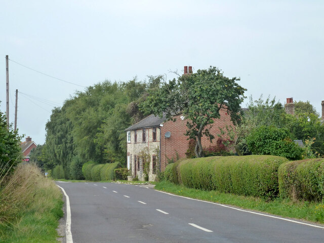
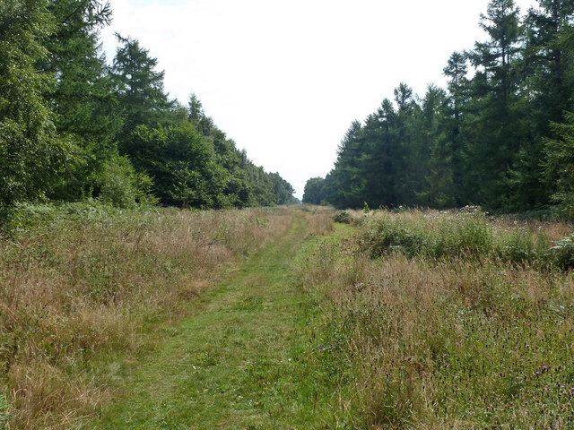
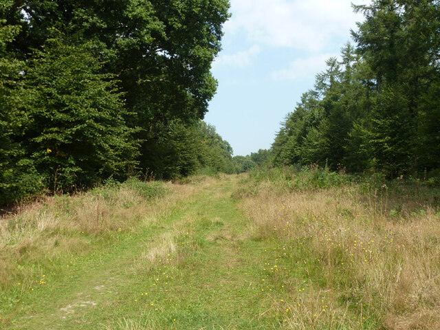
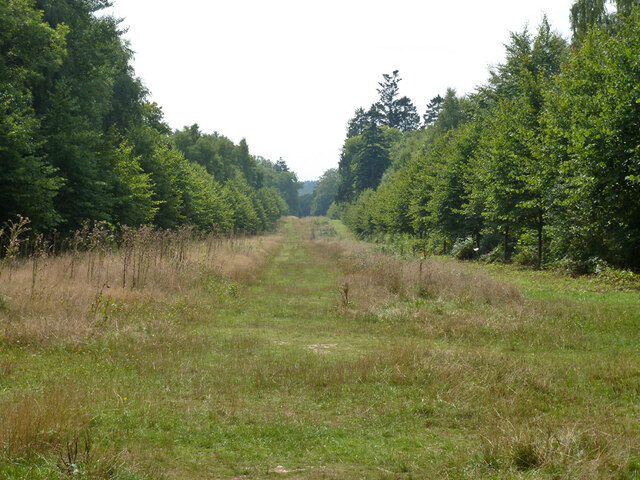
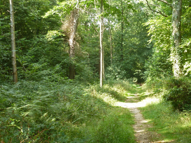
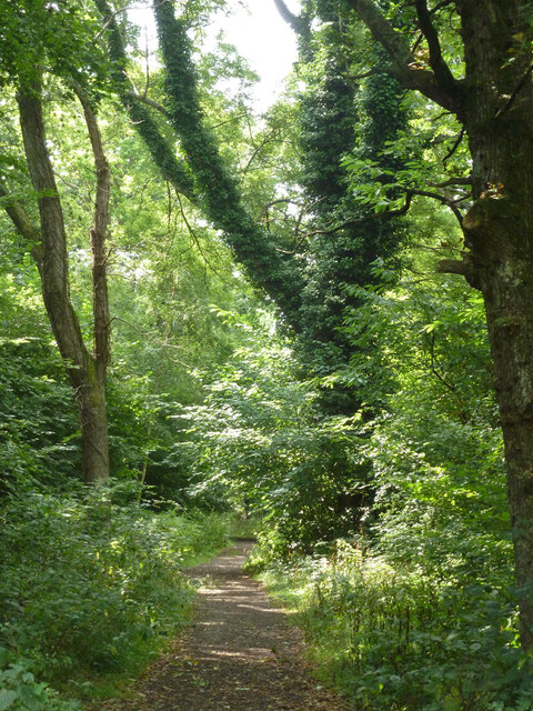
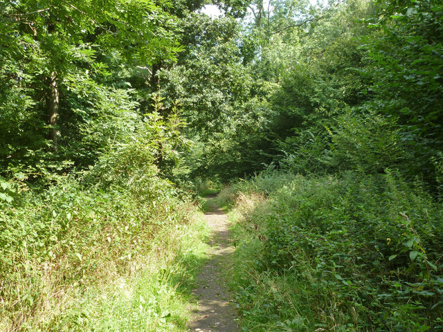
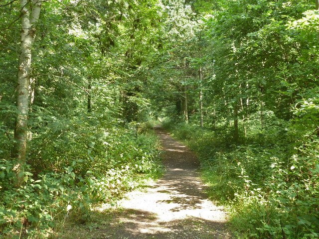
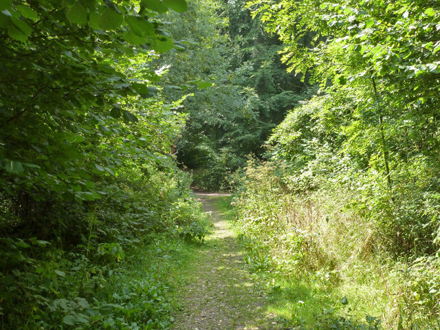
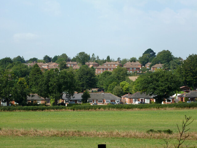
Adam's Copse is a picturesque woodland located in Sussex, England. Spanning over a vast area, it is known for its natural beauty and rich biodiversity. The copse is situated on the outskirts of a small village, surrounded by rolling hills and meandering streams.
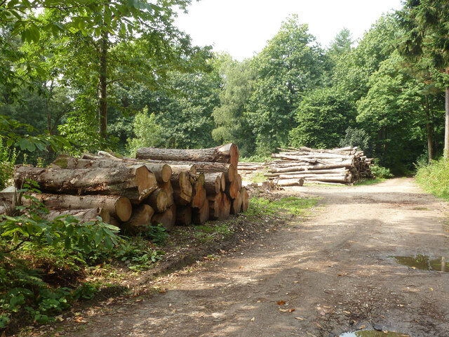
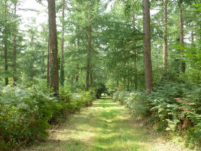
The woodland is primarily composed of broadleaf trees, including oak, beech, and ash, which create a dense canopy overhead, providing a cool and tranquil atmosphere. The forest floor is covered in a thick layer of leaf litter, creating a soft carpet underfoot.
Adam's Copse is home to a diverse array of flora and fauna. Bluebells, primroses, and wild garlic carpet the forest floor in the spring, creating a vibrant display of colors. The woodpecker's rhythmic drumming can be heard echoing through the trees, while squirrels dart from branch to branch, gathering acorns and beech nuts.
The copse is also a haven for wildlife enthusiasts, as it provides a habitat for various bird species, such as the great tit, chaffinch, and tawny owl. In addition, deer, badgers, and foxes can often be spotted roaming the woodland, adding to its natural charm.
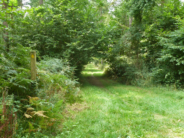
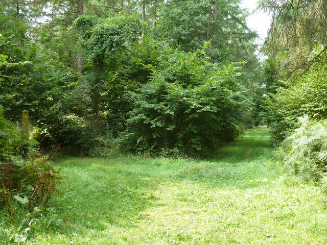
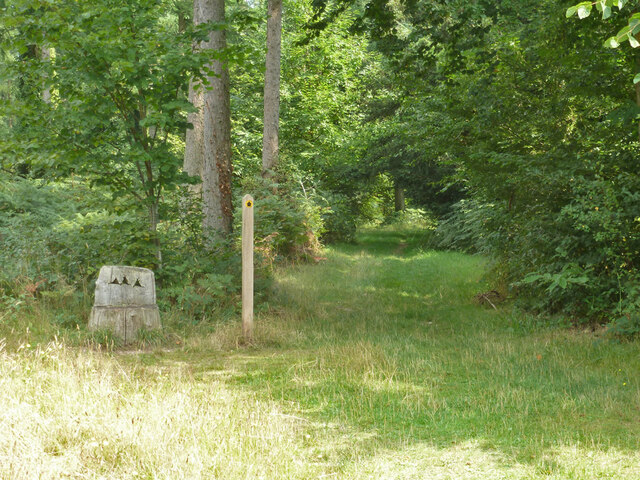
Visitors to Adam's Copse can explore its many winding trails, which lead to hidden glades and peaceful clearings. The tranquil atmosphere and stunning scenery make it a popular spot for nature walks, picnics, and photography.
Overall, Adam's Copse is a captivating woodland, offering a serene escape from the hustle and bustle of everyday life. Its beauty and biodiversity make it a valuable asset to the local community and a must-visit destination for nature lovers.
If you have any feedback on the listing, please let us know in the comments section below.
Adam's Copse Images
Images are sourced within 2km of 50.908952/-0.94460778 or Grid Reference SU7412. Thanks to Geograph Open Source API. All images are credited.
Adam's Copse is located at Grid Ref: SU7412 (Lat: 50.908952, Lng: -0.94460778)
Administrative County: West Sussex
District: Chichester
Police Authority: Sussex
What 3 Words
///treatable.vanished.torches. Near Cowplain, Hampshire
Nearby Locations
Related Wikis
Finchdean
Finchdean is a rural hamlet in the East Hampshire district of Hampshire, England. It lies on the Hampshire/West Sussex border, 1.7 miles (2.7 km) east...
Idsworth
Idsworth is an isolated hamlet, with mediaeval Saxon origins, in the East Hampshire district and South Downs National Park in Hampshire, England. Formerly...

Rowlands Castle railway station
Rowlands Castle railway station serves the village of Rowland's Castle, Hampshire, England. It is located on the Portsmouth Direct Line, 63 miles 18 chains...

Rowland's Castle
Rowland's Castle is a village and civil parish in the East Hampshire district of Hampshire, England. It is 2.9 miles (4.7 km) north of Havant, on the Hampshire/West...

Stansted Park
Stansted Park (including Stansted House) is an Edwardian country house in the parish of Stoughton, West Sussex, England. It is near the city of Chichester...

West Marden
West Marden is a hamlet in the Chichester district of West Sussex, England. It lies on the B2146 road 5 miles (8.2 km) north of Emsworth. It is in the...

Compton Down, Compton
Compton Down is an extent of high ground near Compton, West Sussex where there was an Admiralty semaphore station. The semaphore station was built at...

Blendworth
Blendworth is a village and former civil parish, now in the parish of Horndean, in the East Hampshire district of Hampshire, England. It lies 0.4 miles...
Nearby Amenities
Located within 500m of 50.908952,-0.94460778Have you been to Adam's Copse?
Leave your review of Adam's Copse below (or comments, questions and feedback).