Paradise Wood
Wood, Forest in Buckinghamshire
England
Paradise Wood
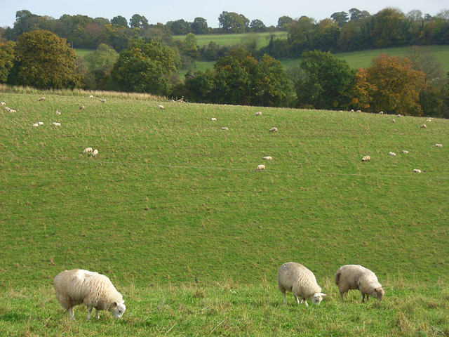
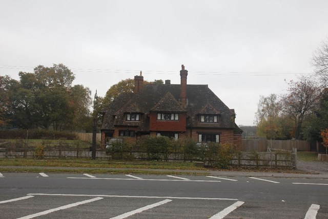
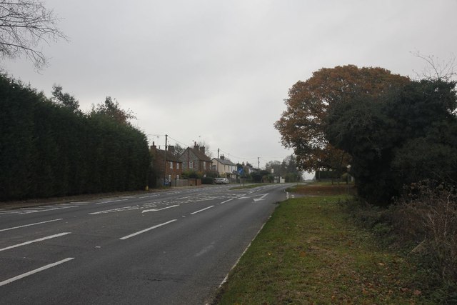
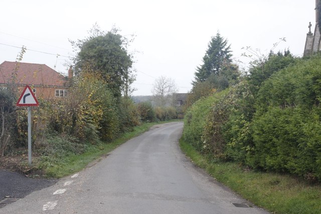
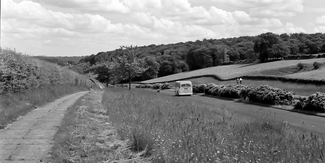
Paradise Wood is a picturesque forest located in the county of Buckinghamshire, England. Spanning over an area of approximately 200 acres, this woodland is a haven for nature lovers and outdoor enthusiasts alike.
The wood is primarily composed of ancient oak trees, dating back several centuries, which provide a majestic and tranquil atmosphere. The thick canopy formed by these towering trees creates a shaded and cool environment, perfect for walking, picnicking, or simply enjoying the serenity of nature.
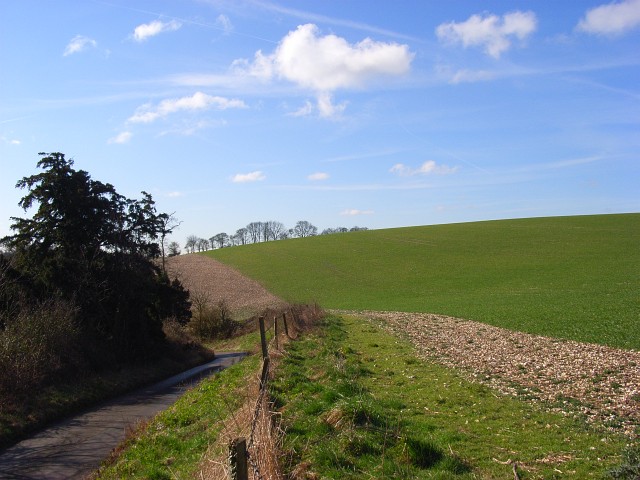
A network of well-maintained footpaths and trails winds its way through Paradise Wood, allowing visitors to explore and discover the hidden treasures within. The paths vary in length and difficulty, catering to both casual strollers and avid hikers. Along these trails, one can encounter an abundance of wildlife, including deer, rabbits, and a variety of bird species, making it a popular spot for wildlife enthusiasts and photographers.
For those seeking a more immersive experience, Paradise Wood offers camping facilities, enabling visitors to spend a night under the stars while surrounded by the peaceful sounds of nature. Additionally, there are designated areas for outdoor activities such as birdwatching, photography, and even organized nature walks led by knowledgeable guides.
Paradise Wood also boasts a visitor center where individuals can learn more about the local flora and fauna, as well as the history and conservation efforts of the woodland. The center provides educational displays, interactive exhibits, and informative literature to engage visitors of all ages.
Overall, Paradise Wood in Buckinghamshire is a magical retreat that offers a unique and enchanting experience for anyone seeking solace in nature's embrace.
If you have any feedback on the listing, please let us know in the comments section below.
Paradise Wood Images
Images are sourced within 2km of 51.574899/-0.93602739 or Grid Reference SU7386. Thanks to Geograph Open Source API. All images are credited.

Paradise Wood is located at Grid Ref: SU7386 (Lat: 51.574899, Lng: -0.93602739)
Unitary Authority: Buckinghamshire
Police Authority: Thames Valley
What 3 Words
///disband.rewriting.glue. Near Remenham, Berkshire
Nearby Locations
Related Wikis
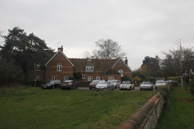
Fawley Bottom
Fawley Bottom is a small village in south Buckinghamshire, England, north of Henley-on-Thames. It is in the civil parish of Fawley. The artist John Piper...

Middle Assendon
Middle Assendon is a village in the Stonor valley in the Chiltern Hills. It is about 2 miles (3.2 km) northwest of Henley-on-Thames in South Oxfordshire...

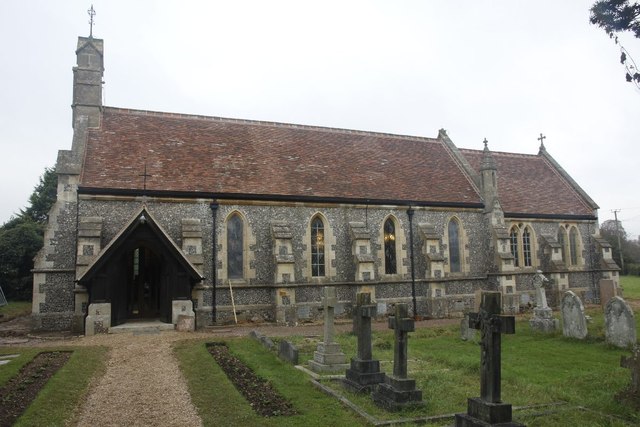
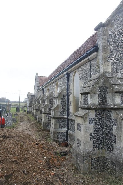
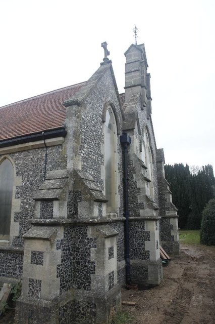
St Mary the Virgin's Church, Fawley
St Mary the Virgin's Church is in centre of the village of Fawley, Buckinghamshire, England. It is an active Anglican parish church on the deanery of Wycombe...

Bix and Assendon
Bix and Assendon, formerly just Bix is a mainly rural civil parish in the high Chilterns just north of Henley-on-Thames in South Oxfordshire, in the county...
Maidensgrove
Maidensgrove is a hamlet above the Stonor valley in the Chiltern Hills, adjacent to Russell's Water common. It is about 5 miles (8.0 km) northwest of...
Bix, Oxfordshire
Bix is a village in the civil parish of Bix and Assendon in South Oxfordshire, about 2.5 miles (4 km) northwest of Henley-on-Thames. The village is about...
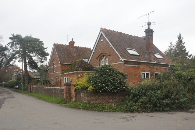
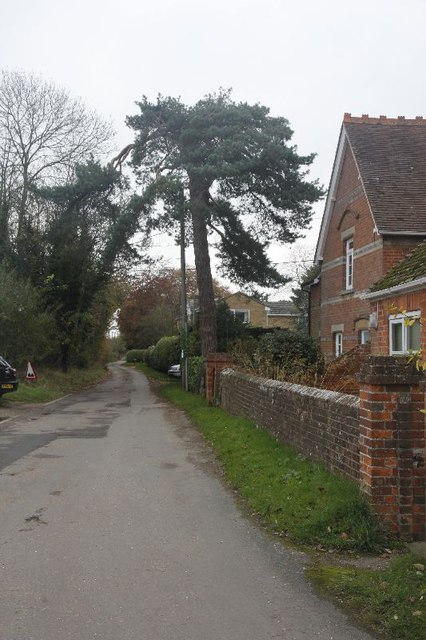
Fawley, Buckinghamshire
Fawley is a village and civil parish in Wycombe district in the south-western corner of Buckinghamshire, England. It is on the boundary between Buckinghamshire...

Fawley Hill Railway
Fawley Hill Railway is a privately owned heritage railway on the Fawley Hill estate of the late Sir William McAlpine at Fawley in Buckinghamshire, England...
Nearby Amenities
Located within 500m of 51.574899,-0.93602739Have you been to Paradise Wood?
Leave your review of Paradise Wood below (or comments, questions and feedback).