Square Covert
Wood, Forest in Oxfordshire South Oxfordshire
England
Square Covert

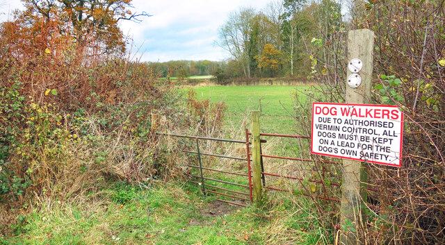
Square Covert is a picturesque woodland situated in the county of Oxfordshire, England. Covering an area of approximately 100 acres, it is located near the village of Wood, just a few miles from the historic city of Oxford. The woodland is known for its dense and ancient forest, rich biodiversity, and tranquil atmosphere.
Square Covert boasts a diverse range of tree species, including oak, beech, and ash, which have thrived for centuries. The forest floor is adorned with an array of native flora, such as bluebells, wild garlic, and wood sorrel, creating a vibrant and colorful landscape during the spring and summer months.
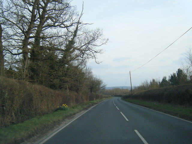
A network of well-maintained footpaths and trails meander through Square Covert, providing visitors with the opportunity to explore its natural beauty. The paths wind their way through towering trees, allowing glimpses of sunlight to filter through the dense canopy, casting enchanting patterns on the forest floor.
The woodland is home to a variety of wildlife, making it a popular spot for nature enthusiasts and birdwatchers. Visitors may catch a glimpse of deer, foxes, badgers, and a wide range of bird species, including woodpeckers, owls, and thrushes.
Square Covert offers a peaceful retreat from the hustle and bustle of city life. Its serene ambiance and untouched wilderness make it an ideal destination for those seeking tranquility and a deeper connection with nature.
If you have any feedback on the listing, please let us know in the comments section below.
Square Covert Images
Images are sourced within 2km of 51.727482/-0.93249313 or Grid Reference SP7303. Thanks to Geograph Open Source API. All images are credited.


Square Covert is located at Grid Ref: SP7303 (Lat: 51.727482, Lng: -0.93249313)
Administrative County: Oxfordshire
District: South Oxfordshire
Police Authority: Thames Valley
What 3 Words
///corkscrew.volunteered.film. Near Chinnor, Oxfordshire
Nearby Locations
Related Wikis

Towersey Halt railway station
Towersey Halt railway station was an intermediate station on the Wycombe Railway which served the Oxfordshire village of Towersey from 1933 to 1963. The...
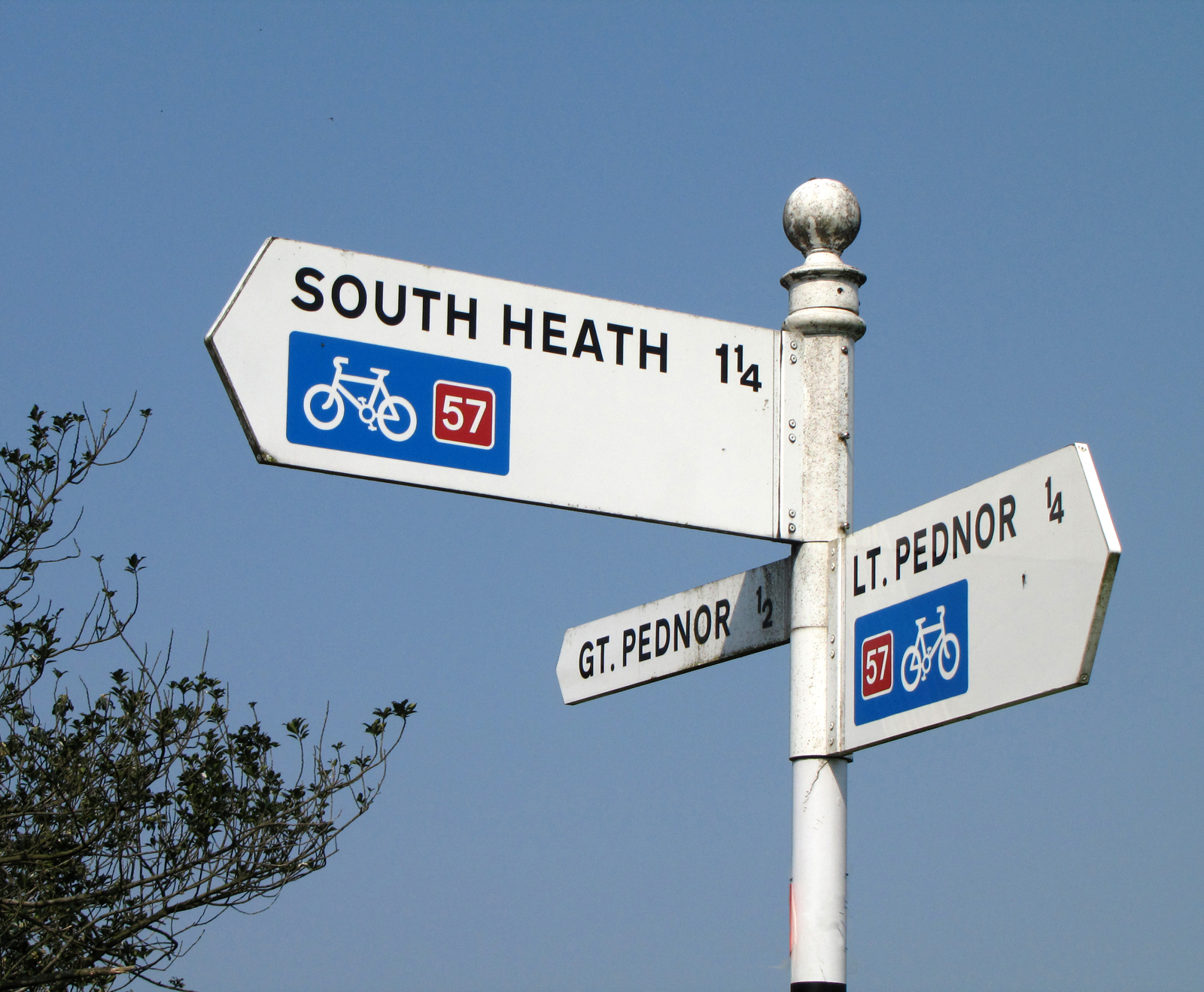
National Cycle Route 57
National Cycle Route 57 is part of the United Kingdom's National Cycle Network. When complete, it will run west to east from Farmington, Gloucestershire...

Phoenix Trail
The Phoenix Trail is a 7-mile (11 km) footpath and cycleway which runs between the market towns of Thame in South Oxfordshire and Princes Risborough in...
Emmington
Emmington is a village in the civil parish of Chinnor, in the South Oxfordshire district, in the county of Oxfordshire, England. It is about 4.5 miles...

Ashendon Hundred
Ashendon Hundred was a hundred in the county of Buckinghamshire, England. It was situated in the centre of the county and bordering to the west the county...
Towersey
Towersey is a village and civil parish about 1+1⁄2 miles (2.4 km) east of Thame in Oxfordshire. Towersey was part of Buckinghamshire until 1933, when the...
Sydenham, Oxfordshire
Sydenham is a village and civil parish about 3 miles (5 km) southeast of Thame in Oxfordshire. To the south the parish is bounded by the ancient Lower...

Thame Abbey
Thame Abbey was a Cistercian abbey at Thame in the English county of Oxfordshire. Thame Abbey was founded in 1137 by Alexander, Bishop of Lincoln. It was...
Have you been to Square Covert?
Leave your review of Square Covert below (or comments, questions and feedback).