Bartley Heath
Wood, Forest in Hampshire Hart
England
Bartley Heath

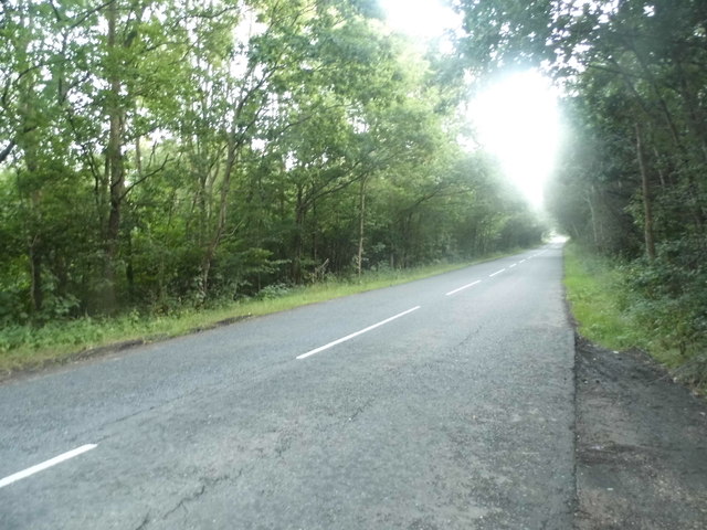
Bartley Heath is a beautiful woodland area located in Hampshire, England. Covering an area of approximately 100 hectares, it is a part of the larger Bartley Heath and Longdown Inclosures managed by the Forestry Commission.
The heath is primarily composed of mixed broadleaf woodland, with a variety of tree species such as oak, beech, birch, and pine. This diverse range of trees contributes to the stunning scenery and provides a habitat for a wide array of wildlife.
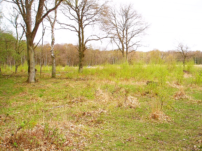
The forest floor is covered in a lush carpet of ferns, mosses, and wildflowers, creating a rich and vibrant ecosystem. Visitors will also find numerous small streams meandering through the woodland, adding to its natural beauty.
Bartley Heath is a popular destination for nature lovers and outdoor enthusiasts. It offers a variety of trails and footpaths, allowing visitors to explore the area on foot or by bike. These trails provide an opportunity to observe the local flora and fauna, including deer, badgers, and a variety of bird species.
Additionally, the heath is a designated Site of Special Scientific Interest (SSSI) due to its unique ecological characteristics. It is home to several rare plant species, including the heath lobelia and the marsh gentian.
Overall, Bartley Heath in Hampshire is a tranquil and picturesque woodland that offers a peaceful retreat for those seeking to connect with nature. Its diverse ecosystem, scenic beauty, and rich wildlife make it a must-visit destination for nature enthusiasts and a valuable asset to the local community.
If you have any feedback on the listing, please let us know in the comments section below.
Bartley Heath Images
Images are sourced within 2km of 51.272471/-0.9576481 or Grid Reference SU7253. Thanks to Geograph Open Source API. All images are credited.


Bartley Heath is located at Grid Ref: SU7253 (Lat: 51.272471, Lng: -0.9576481)
Administrative County: Hampshire
District: Hart
Police Authority: Hampshire
What 3 Words
///marsh.sulked.crisps. Near Hook, Hampshire
Nearby Locations
Related Wikis
Hook Common and Bartley Heath
Hook Common and Bartley Heath is a 129.4-hectare (320-acre) biological Site of Special Scientific Interest on the southern outskirts of Hook in Hampshire...

Hook, Hart
Hook is a large village and civil parish in the Hart District of northern Hampshire, England. It is situated 6.2 miles (10 km) east of Basingstoke and...
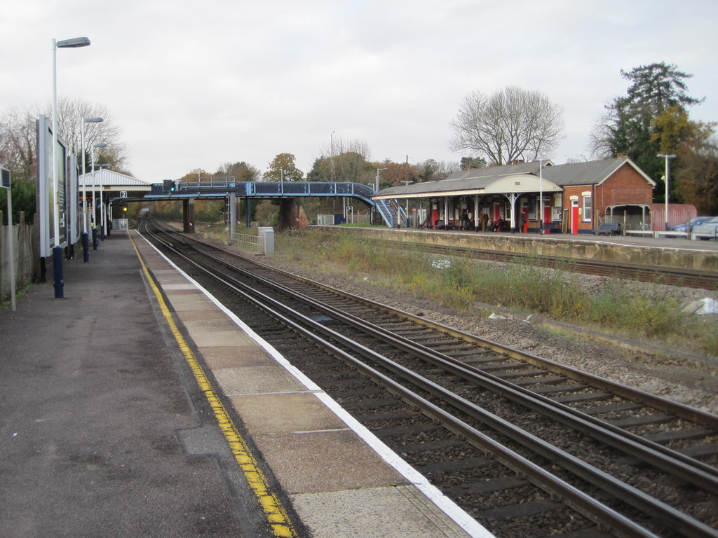
Hook railway station
Hook railway station serves the large village of Hook and surrounding villages in Hampshire, southern England. There are two platforms serving the outer...
Andwells Brewery
Andwell Brewing Company was started by Adam Komrower in 2008, and was based at Lodge Farm behind Newlyns farmshop in North Warnborough, Hampshire, England...

Warnborough Green SSSI
Warnborough Green is a 4.4-hectare (11-acre) biological Site of Special Scientific Interest in North Warnborough in Hampshire. It is owned and managed...
Hook Common
Hook Common is a hamlet in the civil parish of Hook in the Hart district of Hampshire, England. It lies approximately 1 mile (1.6 km) south-west from Hook...

Odiham Castle
Odiham Castle (also known locally as King John's Castle) is a ruined castle situated near Odiham in Hampshire, United Kingdom. It is one of only three...
North Warnborough
North Warnborough is a village in the Hart district of Hampshire, England. It is in the civil parish of Odiham. It is located less than 2 miles (3.2...
Nearby Amenities
Located within 500m of 51.272471,-0.9576481Have you been to Bartley Heath?
Leave your review of Bartley Heath below (or comments, questions and feedback).