Bottom Copse

Wood, Forest in Hampshire Hart

England

Bottom Copse

Wellington's Monument The Duke of Wellington Commemorative Column stands at the entrance to Stratfield Saye. The column is topped by a bronze statue by Baron Carlo Marochetti which was erected in 1863.
Wellington's Monument Credit: Steve Daniels

Bottom Copse is a charming woodland located in the county of Hampshire, England. Nestled in the heart of the South Downs National Park, this forested area spans over 50 acres, offering a tranquil and picturesque escape from the bustling city life.

The copse is primarily composed of deciduous trees, including oak, beech, and ash, creating a vibrant and diverse ecosystem. The dense canopy provides a haven for numerous bird species, making it a popular spot for birdwatchers and nature enthusiasts. It is not uncommon to spot species such as woodpeckers, thrushes, and owls within the copse.

As visitors venture further into Bottom Copse, they will discover a network of well-maintained walking trails, allowing for leisurely strolls or more challenging hikes. The paths wind through the forest, providing breathtaking views of the surrounding countryside. In spring, the forest floor is adorned with a colorful carpet of bluebells, creating a truly enchanting sight.

Bottom Copse is also home to a variety of wildlife, including squirrels, deer, and rabbits. The forest provides a safe habitat for these creatures, allowing visitors the opportunity to observe them in their natural environment.

For those seeking a moment of tranquility, Bottom Copse offers several designated picnic areas, where visitors can relax and enjoy the serenity of the forest. The copse is also equipped with basic facilities, such as parking and public toilets, ensuring a convenient and enjoyable experience for all.

Overall, Bottom Copse is a stunning woodland retreat, perfect for those seeking a connection with nature and a peaceful escape from the outside world.

If you have any feedback on the listing, please let us know in the comments section below.
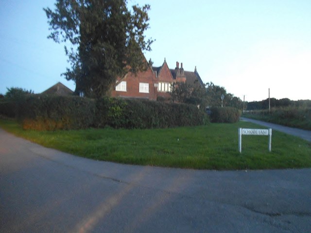
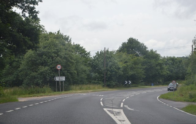
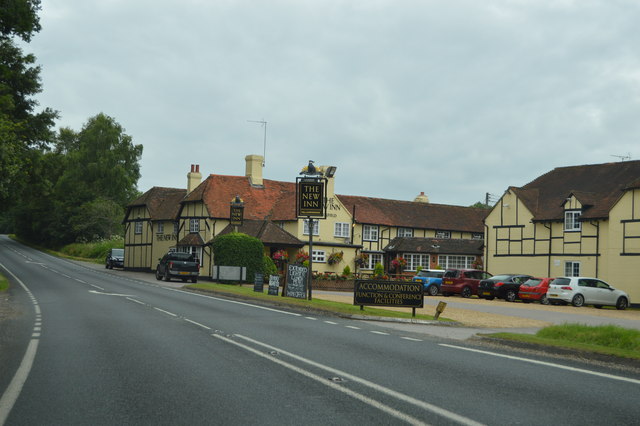
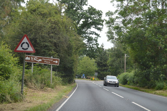
Bottom Copse Images

Images are sourced within 2km of 51.352337/-0.96362045 or Grid Reference SU7261. Thanks to Geograph Open Source API. All images are credited.

Wellington's Monument The Duke of Wellington Commemorative Column stands at the entrance to Stratfield Saye. The column is topped by a bronze statue by Baron Carlo Marochetti which was erected in 1863.
Wellington's Monument
The Duke of Wellington Commemorative Column stands at the entrance to Stratfield Saye. The column is topped by a bronze statue by Baron Carlo Marochetti which was erected in 1863.
Roundabout on the A339, Riseley
Barge Lane at the junction of Welsh Lane
Bridge on Chequer Lane, Stanford End
School Road at the junction of School Lane, Riseley
The Causeway at the junction of Basingstoke Road Looking towards the Wellington Monument
The Causeway at the junction of Basingstoke Road
Looking towards the Wellington Monument
The 'Wellington' turning on the A33 Travelling southwards on the A33 with turning to the left to Wellington Riding Stables.
The 'Wellington' turning on the A33
Travelling southwards on the A33 with turning to the left to Wellington Riding Stables.
Bends on the A33 Taken just past the junction with The Causeway on the left and the Wellington Monument (not in view here) on the right.
Bends on the A33
Taken just past the junction with The Causeway on the left and the Wellington Monument (not in view here) on the right.
A33, southbound The A33 is a 52 mile long road from Reading to Southampton.
It is split into two distinct sections - the first is the main cross country route from Reading to Basingstoke, and the second the ancient Roman road from Popham, through Winchester, to Southampton. 
<span class="nowrap"><a title="http://www.sabre-roads.org.uk/wiki/index.php?title=A33" rel="nofollow ugc noopener" href="http://www.sabre-roads.org.uk/wiki/index.php?title=A33">Link</a><img style="margin-left:2px;" alt="External link" title="External link - shift click to open in new window" src="https://s1.geograph.org.uk/img/external.png" width="10" height="10"/></span>
A33, southbound
The A33 is a 52 mile long road from Reading to Southampton. It is split into two distinct sections - the first is the main cross country route from Reading to Basingstoke, and the second the ancient Roman road from Popham, through Winchester, to Southampton. LinkExternal link
A33 near Wellington's Monument The A33 is a 52 mile long road from Reading to Southampton.
It is split into two distinct sections - the first is the main cross country route from Reading to Basingstoke, and the second the ancient Roman road from Popham, through Winchester, to Southampton. 
<span class="nowrap"><a title="http://www.sabre-roads.org.uk/wiki/index.php?title=A33" rel="nofollow ugc noopener" href="http://www.sabre-roads.org.uk/wiki/index.php?title=A33">Link</a><img style="margin-left:2px;" alt="External link" title="External link - shift click to open in new window" src="https://s1.geograph.org.uk/img/external.png" width="10" height="10"/></span>
A33 near Wellington's Monument
The A33 is a 52 mile long road from Reading to Southampton. It is split into two distinct sections - the first is the main cross country route from Reading to Basingstoke, and the second the ancient Roman road from Popham, through Winchester, to Southampton. LinkExternal link
A33, southbound The A33 is a 52 mile long road from Reading to Southampton.
It is split into two distinct sections - the first is the main cross country route from Reading to Basingstoke, and the second the ancient Roman road from Popham, through Winchester, to Southampton. 
<span class="nowrap"><a title="http://www.sabre-roads.org.uk/wiki/index.php?title=A33" rel="nofollow ugc noopener" href="http://www.sabre-roads.org.uk/wiki/index.php?title=A33">Link</a><img style="margin-left:2px;" alt="External link" title="External link - shift click to open in new window" src="https://s1.geograph.org.uk/img/external.png" width="10" height="10"/></span>
A33, southbound
The A33 is a 52 mile long road from Reading to Southampton. It is split into two distinct sections - the first is the main cross country route from Reading to Basingstoke, and the second the ancient Roman road from Popham, through Winchester, to Southampton. LinkExternal link
Car park at Wellington Country Park
The lake at Wellington Country Park
B3349 passing The New Inn The B3349 runs 27 miles from Alton <a href="https://www.geograph.org.uk/photo/5212600">SU7038 : Junction of A339 & B3349</a> to Wokingham.
<span class="nowrap"><a title="http://www.sabre-roads.org.uk/wiki/index.php?title=B3349" rel="nofollow ugc noopener" href="http://www.sabre-roads.org.uk/wiki/index.php?title=B3349">Link</a><img style="margin-left:2px;" alt="External link" title="External link - shift click to open in new window" src="https://s1.geograph.org.uk/img/external.png" width="10" height="10"/></span>
B3349 passing The New Inn
The B3349 runs 27 miles from Alton SU7038 : Junction of A339 & B3349 to Wokingham. LinkExternal link
B3349 The B3349 runs 27 miles from Alton <a href="https://www.geograph.org.uk/photo/5212600">SU7038 : Junction of A339 & B3349</a> to Wokingham.
<span class="nowrap"><a title="http://www.sabre-roads.org.uk/wiki/index.php?title=B3349" rel="nofollow ugc noopener" href="http://www.sabre-roads.org.uk/wiki/index.php?title=B3349">Link</a><img style="margin-left:2px;" alt="External link" title="External link - shift click to open in new window" src="https://s1.geograph.org.uk/img/external.png" width="10" height="10"/></span>
B3349
The B3349 runs 27 miles from Alton SU7038 : Junction of A339 & B3349 to Wokingham. LinkExternal link
Entering Berkshire, Odiham Rd
Show me another place!

Bottom Copse is located at Grid Ref: SU7261 (Lat: 51.352337, Lng: -0.96362045)

Administrative County: Hampshire

District: Hart

Police Authority: Hampshire

What 3 Words

///fattening.crucially.tinny. Near Swallowfield, Berkshire

Related Wikis

Heckfield Heath

Heckfield Heath is a hamlet in the civil parish of Heckfield in the Hart district of Hampshire, England. Its nearest town is Hook, which lies approximately...

Wellington Country Park

Wellington Country Park is a country park in Riseley, near Reading. == Overview == The park consists of 350 acres (1.4 km2) of coniferous and deciduous...

Riseley, Berkshire

Riseley is a village in the English county of Berkshire, adjacent to the border with Hampshire. It is located around 6 miles (9.7 km) south of Reading...

Heckfield Place

A country estate of 438 acres, the heart of Heckfield Place is a Georgian Grade II listed manor house, located in Hampshire, United Kingdom. It was built...

Heckfield

Heckfield is a village in Hampshire, England. It lies between Reading and Hook. It is the location of Highfield House, where Neville Chamberlain died in...

Highfield House, Heckfield

Highfield House, also known as Highfield Park, is an early 18th-century Queen Anne style country house in Heckfield, Hampshire, England. A Grade II* listed...

The Marshes Local Nature Reserve

The Marshes is a 2.2-hectare (5.4-acre) Local Nature Reserve south of Swallowfield in Berkshire. It is owned and managed by Swallowfield Parish Council...

Stanford End Mill and River Loddon

Stanford End Mill and River Loddon is a 11.8-hectare (29-acre) biological Site of Special Scientific Interest south of Reading in Berkshire. It covers...

Nearby Amenities

Located within 500m of 51.352337,-0.96362045
Ragmoor Copse
Natural: wood
Lat/Long: 51.3495686/-0.961976
Orchard Copse
Natural: wood
Lat/Long: 51.3497687/-0.959148
The data included in this document is from www.openstreetmap.org. The data is made available under ODbL.

Have you been to Bottom Copse?

Leave your review of Bottom Copse below (or comments, questions and feedback).