Fire Wood
Wood, Forest in Oxfordshire South Oxfordshire
England
Fire Wood
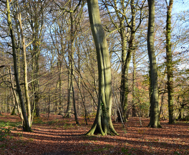
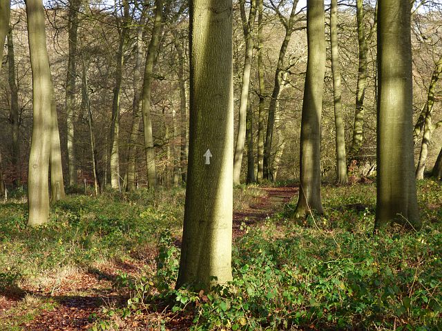
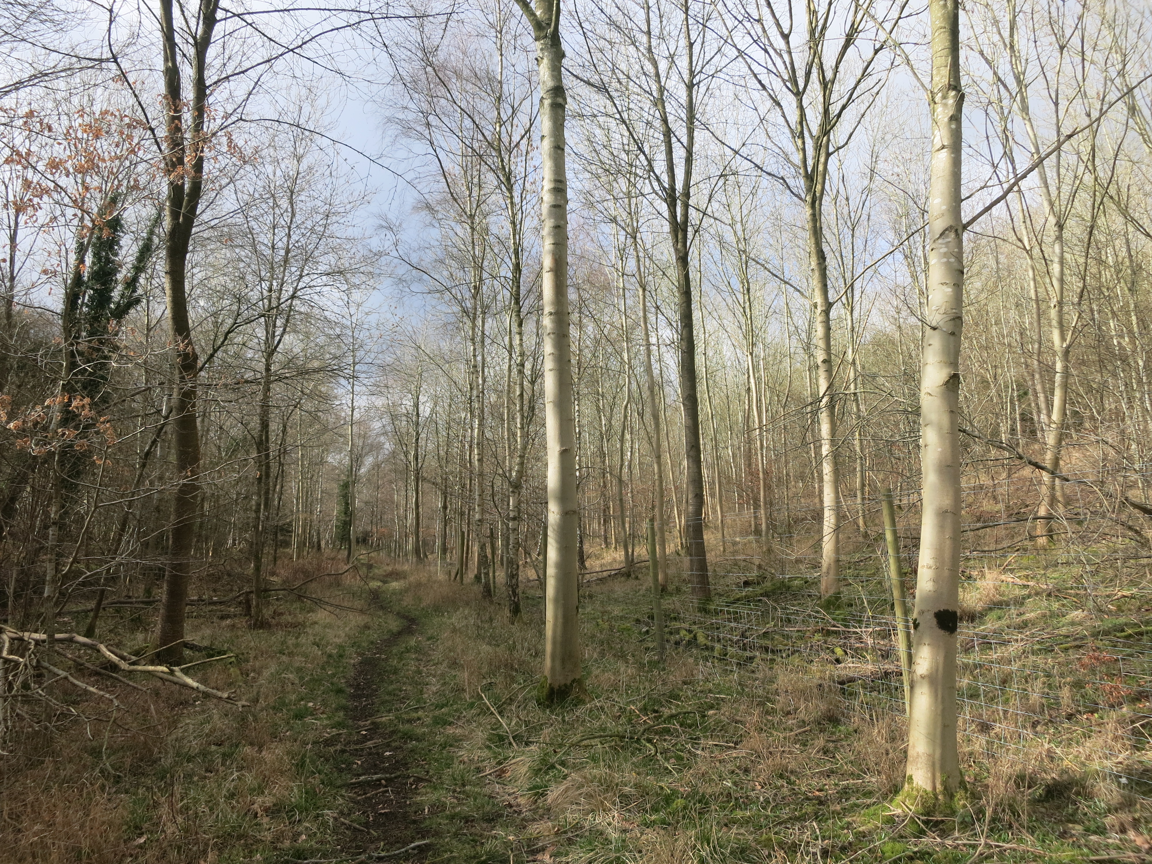
Fire Wood in Oxfordshire is a small but significant forested area located in the heart of the county. Covering an approximate area of 500 acres, this woodland is known for its lush green scenery, diverse flora and fauna, and its historical significance as a source of firewood.
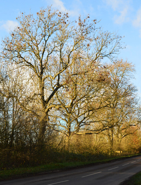
The forest is predominantly made up of oak and beech trees, which provide a rich habitat for a variety of bird species such as woodpeckers, owls, and thrushes. The woodland floor is covered with a carpet of bluebells and wildflowers during the spring and summer months, creating a picturesque and vibrant landscape.
Fire Wood has been a valuable resource for the local community for centuries. Its name is derived from the fact that it has long been a source of firewood for the nearby villages and towns. The woodland is managed sustainably, with selective felling and replanting practices in place to ensure the continued availability of firewood while maintaining the ecological balance of the area.
In addition to its practical uses, Fire Wood also offers recreational opportunities for visitors. There are well-maintained trails and pathways that crisscross the forest, providing opportunities for hiking, birdwatching, and nature photography. The peaceful ambiance and natural beauty of the woodland make it a popular destination for nature enthusiasts and families seeking a relaxing day out in the countryside.
Overall, Fire Wood in Oxfordshire is a cherished natural resource that combines practicality with beauty. Its importance as a source of firewood, its ecological significance, and its recreational value make it a true gem within the county.
If you have any feedback on the listing, please let us know in the comments section below.
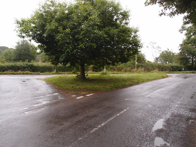
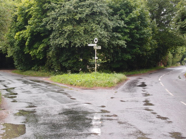
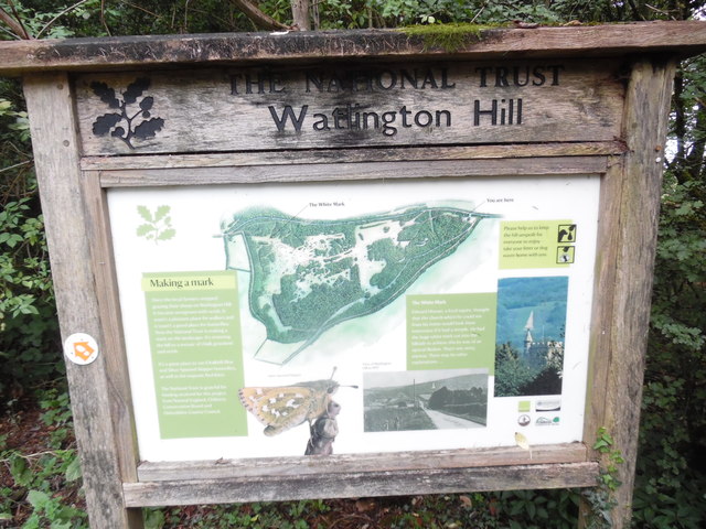
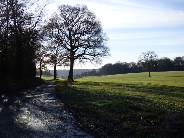
Fire Wood Images
Images are sourced within 2km of 51.624672/-0.95745762 or Grid Reference SU7292. Thanks to Geograph Open Source API. All images are credited.


Fire Wood is located at Grid Ref: SU7292 (Lat: 51.624672, Lng: -0.95745762)
Administrative County: Oxfordshire
District: South Oxfordshire
Police Authority: Thames Valley
What 3 Words
///onto.squirts.ladders. Near Watlington, Oxfordshire
Nearby Locations
Related Wikis

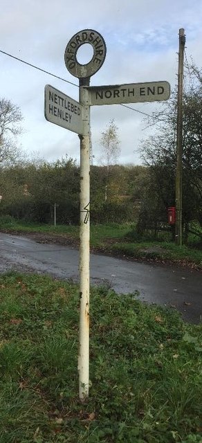
Northend, Buckinghamshire
Northend is a village that straddles the border of the two English counties of Buckinghamshire and Oxfordshire. The eastern half is in the civil parish...

Christmas Common
Christmas Common is a hamlet in Watlington civil parish, Oxfordshire about 7+1⁄2 miles (12 km) south of Thame in Oxfordshire, close to the boundary with...
Watlington Park
Watlington Park is an English country house with its surrounding grounds of approximately 500 acres (200 ha), located atop an escarpment in the Chiltern...

Swain's Wood
Swain's Wood is a 16.2-hectare (40-acre) biological Site of Special Scientific Interest west of Turville in Buckinghamshire. It is in the Chilterns Area...
Pishill Woods
Pishill Woods is a 42.8-hectare (106-acre) biological Site of Special Scientific Interest north of Nettlebed in Oxfordshire.These semi-natural woods have...
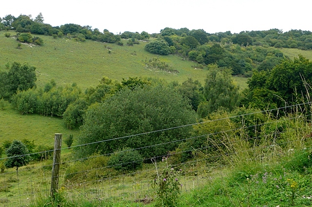
Watlington and Pyrton Hills
Watlington and Pyrton Hills is a 112.7-hectare (278-acre) biological Site of Special Scientific Interest east of Watlington in Oxfordshire. An area of...

Turville Grange
Turville Grange is a large detached house in the village of Turville Heath in the English county of Buckinghamshire. It was built in the late 18th century...

Garsington Opera
Garsington Opera is an annual summer opera festival founded in 1989 by Leonard Ingrams. The Philharmonia Orchestra and The English Concert are its two...
Nearby Amenities
Located within 500m of 51.624672,-0.95745762Have you been to Fire Wood?
Leave your review of Fire Wood below (or comments, questions and feedback).