Stanton Plantation
Wood, Forest in Leicestershire Melton
England
Stanton Plantation
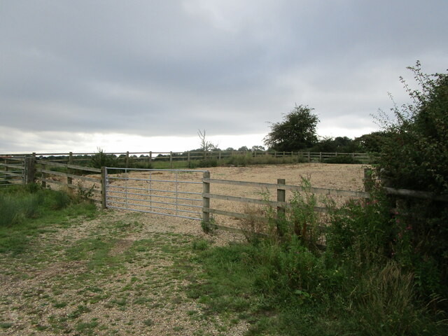
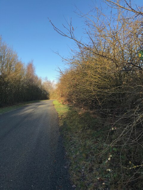
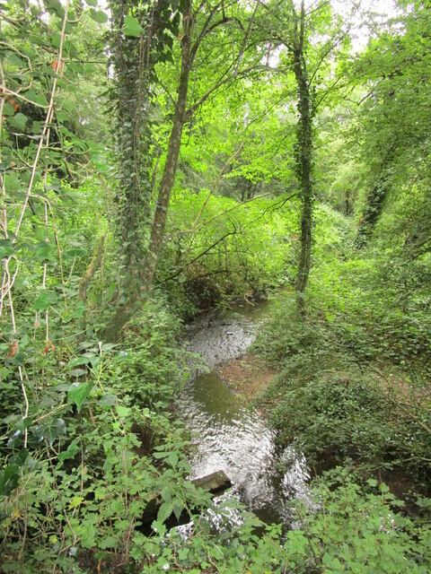
Stanton Plantation is a picturesque woodland area located in Leicestershire, England. Situated in the heart of the county, it encompasses a sprawling area of lush greenery, abundant wildlife, and ancient trees. The plantation is part of Stanton Wood, a larger forested landscape that covers several hundred acres.
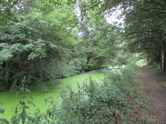
The plantation is renowned for its diverse ecosystem, comprising of a mix of deciduous and evergreen trees. Oak, beech, and birch are among the dominant species, providing a rich and varied habitat for a wide array of flora and fauna. The woodland floor is adorned with carpets of bluebells in spring, creating a vibrant and enchanting scene.
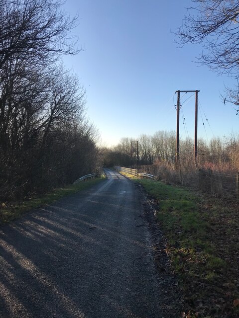
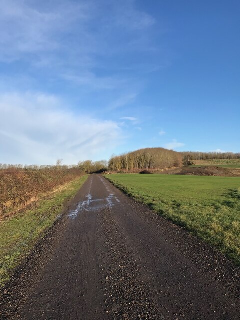
This natural haven is not only a delight for nature enthusiasts but also provides recreational opportunities for visitors. A network of well-maintained trails weaves through the plantation, offering opportunities for walking, jogging, and cycling. Many visitors also enjoy birdwatching, as the woodland is home to a variety of avian species, including great spotted woodpeckers, tawny owls, and nuthatches.
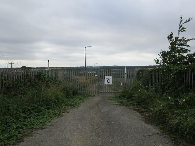
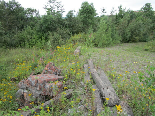
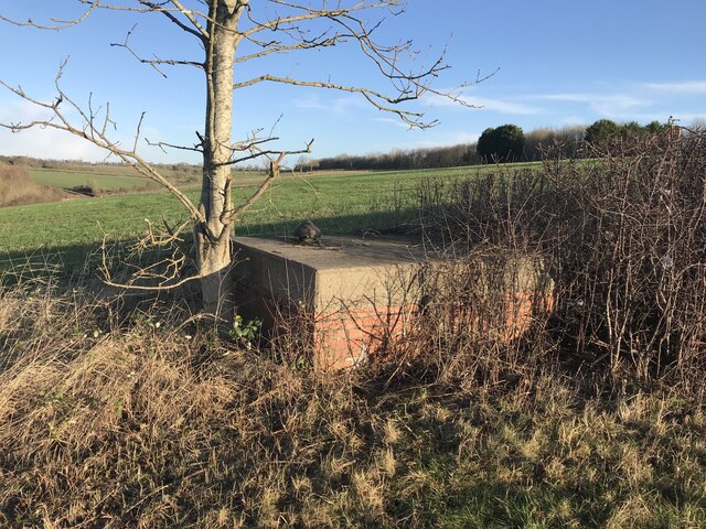
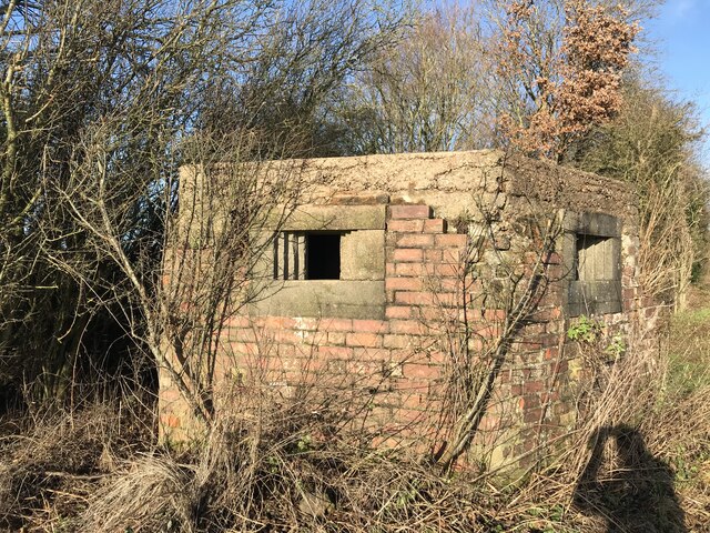
Stanton Plantation has a rich historical background, with evidence of human activity dating back centuries. The remains of an Iron Age hillfort can still be seen within the woodland, providing insight into the area's ancient past. The plantation is also part of the National Forest, a major environmental initiative aimed at creating a new forest in the heart of England.
Overall, Stanton Plantation is a tranquil and idyllic destination, offering a perfect blend of natural beauty, recreational opportunities, and historical intrigue. It is a must-visit location for anyone seeking a peaceful escape amidst nature's splendor.
If you have any feedback on the listing, please let us know in the comments section below.
Stanton Plantation Images
Images are sourced within 2km of 52.768855/-0.93232943 or Grid Reference SK7219. Thanks to Geograph Open Source API. All images are credited.


Stanton Plantation is located at Grid Ref: SK7219 (Lat: 52.768855, Lng: -0.93232943)
Administrative County: Leicestershire
District: Melton
Police Authority: Leicestershire
What 3 Words
///fortified.format.milk. Near Asfordby, Leicestershire
Nearby Locations
Related Wikis

Holwell Sports F.C.
Holwell Sports Football Club is a football club based in Asfordby Hill, near Melton Mowbray, Leicestershire, England. They are currently members of the...
Asfordby Hill
Asfordby Hill is a hamlet on the A6006 road, in the parish of Asfordby, in the Melton district, in the English county of Leicestershire. == Amenities... ==
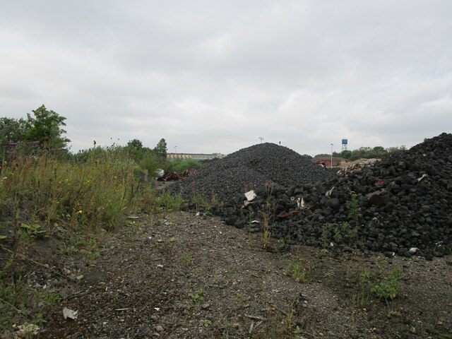
Asfordby Colliery
Asfordby Colliery (also known as Asfordby super-pit and Asfordby Mine) was a coal mine located in the village of Asfordby, near to Melton Mowbray in Leicestershire...

Kirby Bellars Priory
Kirby Bellars Priory was a small priory of Canons Regular of Saint Augustine in Leicestershire, England. It is now the Church of England Parish Church...

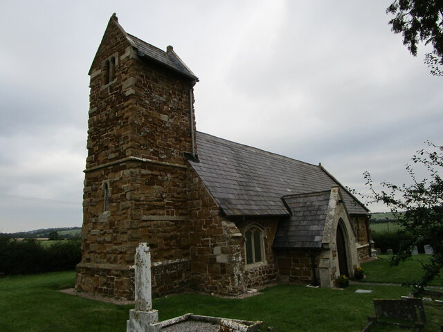
All Saints' Church, Asfordby
All Saints' Church is a church in Asfordby, Leicestershire, England. It is a Grade I listed building. == History == The church is made up of a nave, tower...
Old Hall, Asfordby
The Old Hall is a Jacobean former manor house in the village of Asfordby, Leicestershire. Built of brick c. 1620, it has three gables. It is a Grade II...

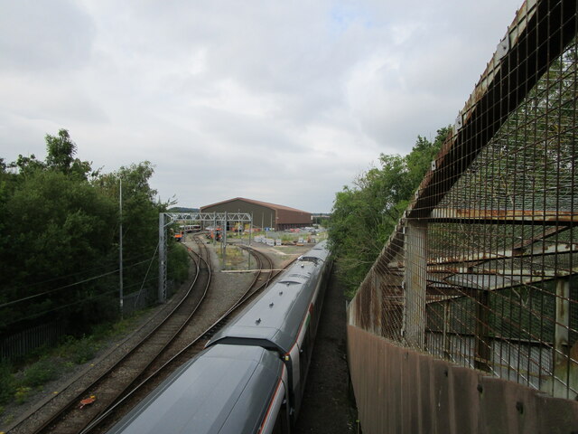
Asfordby railway station
Asfordby railway station was a station serving the villages of Asfordby and Kirby Bellars in Leicestershire. The station was situated at a level crossing...

River Eye, Leicestershire
The River Eye is a slender, slow-flowing river in north-eastern Leicestershire, England. The river is known to flood periodically; especially within the...
Nearby Amenities
Located within 500m of 52.768855,-0.93232943Have you been to Stanton Plantation?
Leave your review of Stanton Plantation below (or comments, questions and feedback).