Bix Underwood
Wood, Forest in Oxfordshire South Oxfordshire
England
Bix Underwood
Bix Underwood is a small village located in Oxfordshire, England. Situated in the Chiltern Hills, the village is known for its scenic beauty and lush green surroundings. Bix Underwood is primarily a residential area, offering a peaceful and tranquil environment away from the hustle and bustle of urban life.
One of the defining features of Bix Underwood is its abundant woodlands and forests. The village is surrounded by dense woodlands, providing residents and visitors with ample opportunities for outdoor activities such as hiking, walking, and birdwatching. The forested areas in Bix Underwood are home to various species of flora and fauna, making it an ideal destination for nature enthusiasts.
The village itself is characterized by traditional stone cottages, giving it a picturesque and charming appeal. Bix Underwood has a close-knit community, with a small number of residents who enjoy a peaceful and close community spirit. The village also boasts a quaint parish church, adding to its historical charm.
Although Bix Underwood may be a quiet village, it benefits from its proximity to larger towns and cities. The market town of Henley-on-Thames is only a short drive away, offering a range of amenities including shops, restaurants, and leisure facilities. Additionally, Bix Underwood benefits from good transport links, with major roads and railway stations nearby, providing easy access to other parts of Oxfordshire and beyond.
In summary, Bix Underwood is a serene and idyllic village nestled in the heart of Oxfordshire. With its beautiful woodlands, charming architecture, and close community, it offers residents and visitors a peaceful and picturesque setting to enjoy the beauty of rural England.
If you have any feedback on the listing, please let us know in the comments section below.
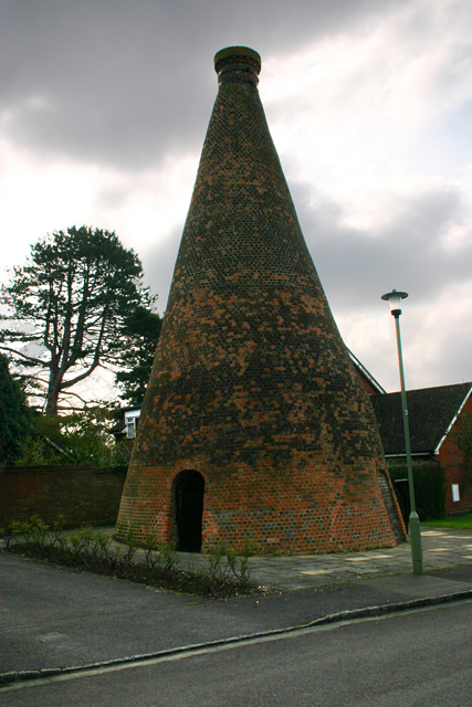
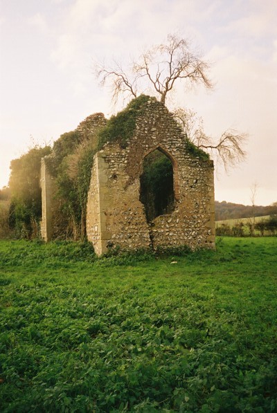
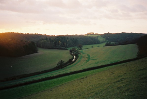
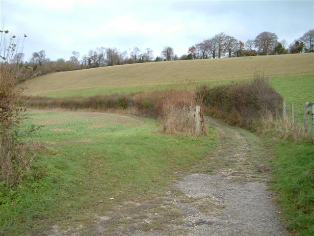
Bix Underwood Images
Images are sourced within 2km of 51.566769/-0.96400507 or Grid Reference SU7185. Thanks to Geograph Open Source API. All images are credited.


Bix Underwood is located at Grid Ref: SU7185 (Lat: 51.566769, Lng: -0.96400507)
Administrative County: Oxfordshire
District: South Oxfordshire
Police Authority: Thames Valley
What 3 Words
///sharp.answers.spillage. Near Rotherfield Peppard, Oxfordshire
Nearby Locations
Related Wikis

Bix, Oxfordshire
Bix is a village in the civil parish of Bix and Assendon in South Oxfordshire, about 2.5 miles (4 km) northwest of Henley-on-Thames. The village is about...

Maidensgrove
Maidensgrove is a hamlet above the Stonor valley in the Chiltern Hills, adjacent to Russell's Water common. It is about 5 miles (8.0 km) northwest of...

Crocker End House
Crocker End House in Nettlebed in Henley-on-Thames, Oxfordshire, England is a spacious Victorian home built to replace Nettlebed's prosperous rectory in...
Bix and Assendon
Bix and Assendon, formerly just Bix is a mainly rural civil parish in the high Chilterns just north of Henley-on-Thames in South Oxfordshire, in the county...
Middle Assendon
Middle Assendon is a village in the Stonor valley in the Chiltern Hills. It is about 2 miles (3.2 km) northwest of Henley-on-Thames in South Oxfordshire...

Lambridge Wood
Lambridge Wood is a 73.8-hectare (182-acre) biological Site of Special Scientific Interest north-west of Henley-on-Thames in Oxfordshire. It is in the...

Bix Bottom
Bix Bottom is a 102.3-hectare (253-acre) biological Site of Special Scientific Interest north-west of Henley-on-Thames in Oxfordshire. It is owned and...

Nettlebed
Nettlebed is a village and civil parish in Oxfordshire in the Chiltern Hills about 4+1⁄2 miles (7 km) northwest of Henley-on-Thames and 6 miles (10 km...
Have you been to Bix Underwood?
Leave your review of Bix Underwood below (or comments, questions and feedback).