Bix Larches
Wood, Forest in Oxfordshire South Oxfordshire
England
Bix Larches
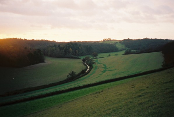
Bix Larches, located in Oxfordshire, England, is a charming woodland area known for its beautiful larch trees. As part of the larger Bix Woods, this specific section is renowned for its dense forest and serene atmosphere. The larch trees, which dominate the landscape, add a unique touch with their vibrant green needles and distinctive cone shapes.
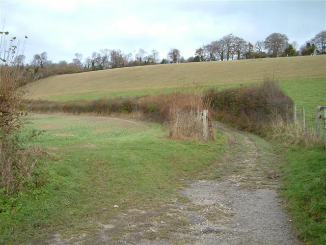
The woodlands of Bix Larches provide a peaceful retreat for nature enthusiasts and hikers alike. The sprawling forest offers numerous walking trails, allowing visitors to immerse themselves in the natural beauty of the area. The well-maintained paths wind through the forest, leading visitors past towering larch trees and an array of other plant species that thrive in this woodland ecosystem.
The tranquil ambiance of Bix Larches makes it an ideal location for birdwatching. The diverse bird population in the area includes various species such as woodpeckers, thrushes, and owls. Birdwatchers can spot these avian creatures nestled among the branches or soaring through the sky, adding to the allure of the woodlands.
Bix Larches also holds historical significance. The area was once part of an ancient woodland, and remnants of this rich history can still be seen today. The woodland has been carefully managed to preserve its ecological importance and maintain its natural appeal.
Overall, Bix Larches in Oxfordshire offers a picturesque and tranquil setting for those seeking a peaceful escape amidst nature. Its dense forest, majestic larch trees, and diverse wildlife make it a haven for outdoor enthusiasts and those looking to reconnect with the natural world.
If you have any feedback on the listing, please let us know in the comments section below.
Bix Larches Images
Images are sourced within 2km of 51.562107/-0.96650577 or Grid Reference SU7185. Thanks to Geograph Open Source API. All images are credited.
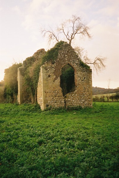
Bix Larches is located at Grid Ref: SU7185 (Lat: 51.562107, Lng: -0.96650577)
Administrative County: Oxfordshire
District: South Oxfordshire
Police Authority: Thames Valley
What 3 Words
///rinse.birthdays.army. Near Rotherfield Peppard, Oxfordshire
Nearby Locations
Related Wikis
Bix, Oxfordshire
Bix is a village in the civil parish of Bix and Assendon in South Oxfordshire, about 2.5 miles (4 km) northwest of Henley-on-Thames. The village is about...
Bix and Assendon
Bix and Assendon, formerly just Bix is a mainly rural civil parish in the high Chilterns just north of Henley-on-Thames in South Oxfordshire, in the county...
Lambridge Wood
Lambridge Wood is a 73.8-hectare (182-acre) biological Site of Special Scientific Interest north-west of Henley-on-Thames in Oxfordshire. It is in the...
Crocker End House
Crocker End House in Nettlebed in Henley-on-Thames, Oxfordshire, England is a spacious Victorian home built to replace Nettlebed's prosperous rectory in...
Maidensgrove
Maidensgrove is a hamlet above the Stonor valley in the Chiltern Hills, adjacent to Russell's Water common. It is about 5 miles (8.0 km) northwest of...
Middle Assendon
Middle Assendon is a village in the Stonor valley in the Chiltern Hills. It is about 2 miles (3.2 km) northwest of Henley-on-Thames in South Oxfordshire...
Rotherfield Greys Castle
Rotherfield Greys Castle, initially known as Retherfield Castle, is a 14th-century fortified manor house built in Rotherfield Greys, Oxfordshire. Only...
Greys Court
Greys Court is a Tudor country house and gardens in the southern Chiltern Hills at Rotherfield Greys, near Henley-on-Thames in the county of Oxfordshire...
Nearby Amenities
Located within 500m of 51.562107,-0.96650577Have you been to Bix Larches?
Leave your review of Bix Larches below (or comments, questions and feedback).


