Ashby Pastures
Wood, Forest in Leicestershire Melton
England
Ashby Pastures

Ashby Pastures is a small village located in Leicestershire, England. Nestled within the beautiful countryside, it is known for its picturesque woodlands and sprawling forests. The village is surrounded by lush green fields and rolling hills, providing a tranquil and scenic environment for residents and visitors alike.
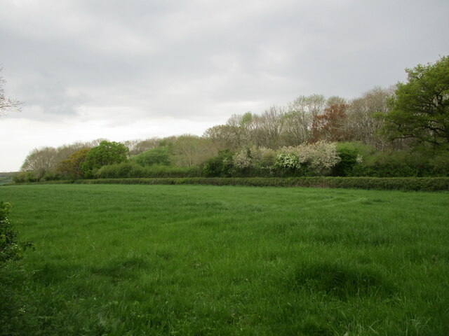
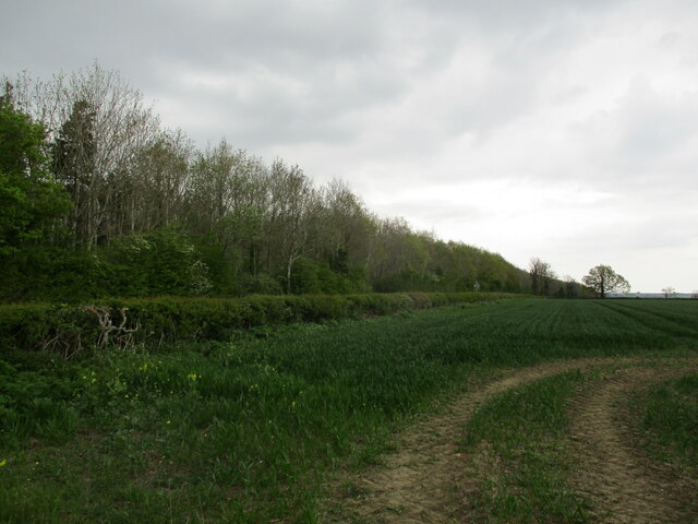
The woodlands in Ashby Pastures are a prominent feature of the village, offering a diverse range of indigenous trees and wildlife. The trees provide a stunning display of colors during autumn, attracting nature enthusiasts and photographers. The forests are also home to various species of birds, making it a popular spot for birdwatching.
The village itself is a quaint and charming community, with a few local amenities such as a village hall, a church, and a small local shop. The residents of Ashby Pastures are known for their friendly and welcoming nature, creating a close-knit community atmosphere.
Ashby Pastures is well-connected to nearby towns and cities, with good transport links and accessibility. The village is situated just a short drive away from the town of Ashby-de-la-Zouch, where residents can find a wider range of amenities such as supermarkets, restaurants, and leisure facilities.
Overall, Ashby Pastures is a hidden gem in Leicestershire, offering a peaceful countryside lifestyle with the beauty of the woodlands and forests. It is an ideal destination for those seeking a retreat from the hustle and bustle of city life, while still being within reach of urban conveniences.
If you have any feedback on the listing, please let us know in the comments section below.
Ashby Pastures Images
Images are sourced within 2km of 52.716587/-0.93823961 or Grid Reference SK7113. Thanks to Geograph Open Source API. All images are credited.


Ashby Pastures is located at Grid Ref: SK7113 (Lat: 52.716587, Lng: -0.93823961)
Administrative County: Leicestershire
District: Melton
Police Authority: Leicestershire
What 3 Words
///motivates.included.lightens. Near Asfordby, Leicestershire
Nearby Locations
Related Wikis

Great Dalby railway station
Great Dalby railway station was a railway station serving the village of Great Dalby, Leicestershire on the Great Northern and London and North Western...

Ashby Folville
Ashby Folville is a village and former civil parish, now in the parish of Gaddesby, in the Melton district of Leicestershire, England, south west of Melton...
St Mary's Church, Ashby Folville
St Mary's Church is a church in Ashby Folville, Leicestershire. It is a Grade I listed building. == History == The church was founded in 1220 by Maud Bassett...

Ashby Folville Manor
Ashby Folville Manor is a late 19th-century house in Neo-Tudor style in the village of Ashby Folville, Leicestershire. The house was substantially rebuilt...
Nearby Amenities
Located within 500m of 52.716587,-0.93823961Have you been to Ashby Pastures?
Leave your review of Ashby Pastures below (or comments, questions and feedback).