Carington Spinney
Wood, Forest in Leicestershire Melton
England
Carington Spinney
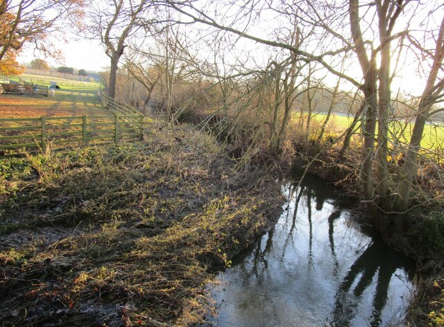
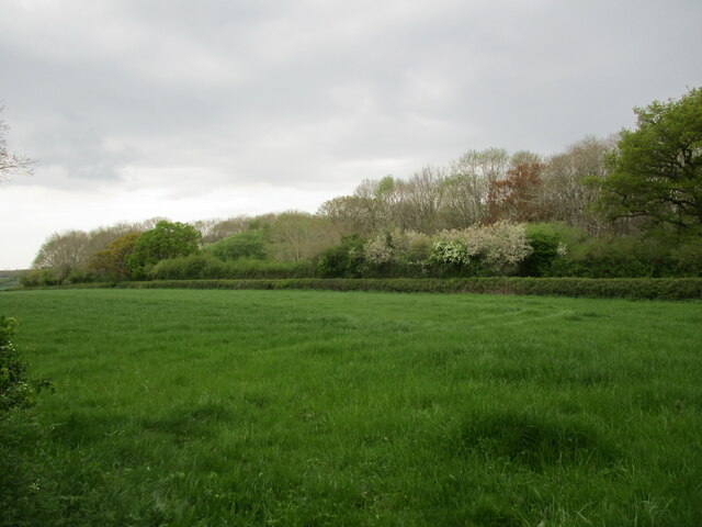
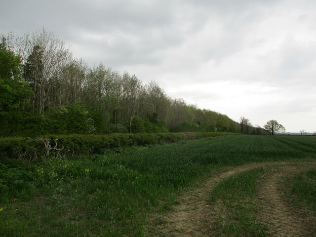
Carington Spinney is a picturesque woodland located in Leicestershire, England. Situated near the village of Woodhouse Eaves, it is part of the larger Charnwood Forest area. The spinney covers an area of approximately 12 acres and is characterized by its dense and diverse vegetation, including various species of trees such as oak, birch, and beech.
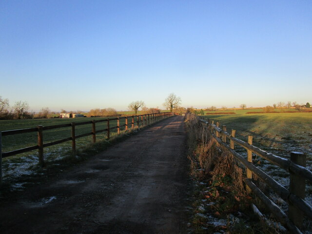
The woodland is a popular destination for nature lovers and hikers, offering numerous walking trails that meander through the trees and provide stunning views of the surrounding countryside. The diverse ecosystem of Carington Spinney provides a habitat for a wide range of wildlife, making it a haven for birdwatching enthusiasts as well. Visitors may spot species such as woodpeckers, owls, and even deer within the tranquil woodland.
Carington Spinney is also steeped in history, with evidence of ancient human activity found within its boundaries. Archaeological excavations have revealed prehistoric artifacts, including pottery and tools, dating back thousands of years. These findings offer a glimpse into the long-standing human presence in the area.
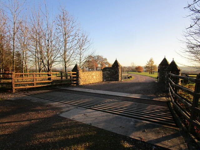
The woodland is well-maintained, thanks to the efforts of local conservation groups and volunteers who work to preserve its natural beauty. It is accessible to the public year-round, and there are designated picnic areas where visitors can relax and enjoy the peaceful surroundings.
Overall, Carington Spinney is a cherished natural gem within Leicestershire, offering a tranquil escape for those seeking to connect with nature and explore the rich history of the area.
If you have any feedback on the listing, please let us know in the comments section below.
Carington Spinney Images
Images are sourced within 2km of 52.714386/-0.94957333 or Grid Reference SK7113. Thanks to Geograph Open Source API. All images are credited.


Carington Spinney is located at Grid Ref: SK7113 (Lat: 52.714386, Lng: -0.94957333)
Administrative County: Leicestershire
District: Melton
Police Authority: Leicestershire
What 3 Words
///lotteries.pixies.spouse. Near Asfordby, Leicestershire
Nearby Locations
Related Wikis

Ashby Folville
Ashby Folville is a village and former civil parish, now in the parish of Gaddesby, in the Melton district of Leicestershire, England, south west of Melton...
St Mary's Church, Ashby Folville
St Mary's Church is a church in Ashby Folville, Leicestershire. It is a Grade I listed building. == History == The church was founded in 1220 by Maud Bassett...

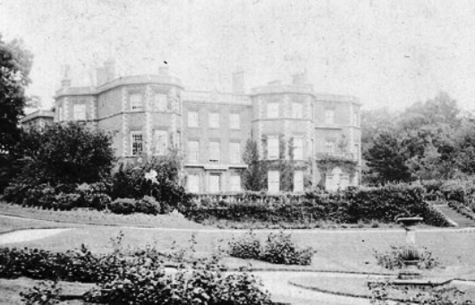
Ashby Folville Manor
Ashby Folville Manor is a late 19th-century house in Neo-Tudor style in the village of Ashby Folville, Leicestershire. The house was substantially rebuilt...
Gaddesby Hall
Gaddesby Hall is an 18th-century brick-built house in the village of Gaddesby, Leicestershire. It was built in the late 1740s as a three-storey house with...

Gaddesby
Gaddesby is a village and civil parish in the Melton borough of Leicestershire, England. The population of the civil parish (including Ashby Folville and...
Barsby
Barsby is a village and former civil parish now in the parish of Gaddesby, in the Melton district, in the county of Leicestershire, England. In 1931 the...

Great Dalby railway station
Great Dalby railway station was a railway station serving the village of Great Dalby, Leicestershire on the Great Northern and London and North Western...

Twyford and Thorpe
Twyford and Thorpe is a civil parish in Leicestershire, England, comprising the villages of Twyford and Thorpe Satchville, and the hamlet of John O'Gaunt...
Nearby Amenities
Located within 500m of 52.714386,-0.94957333Have you been to Carington Spinney?
Leave your review of Carington Spinney below (or comments, questions and feedback).