Big Ashes Plantation
Wood, Forest in Oxfordshire South Oxfordshire
England
Big Ashes Plantation

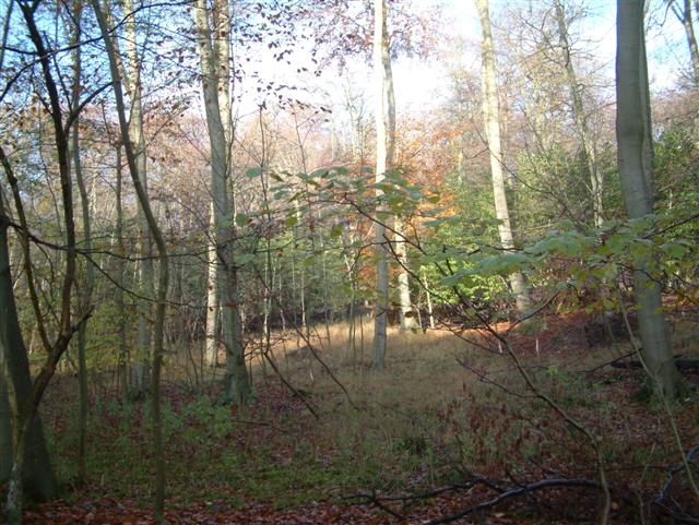
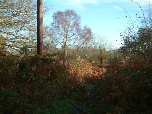
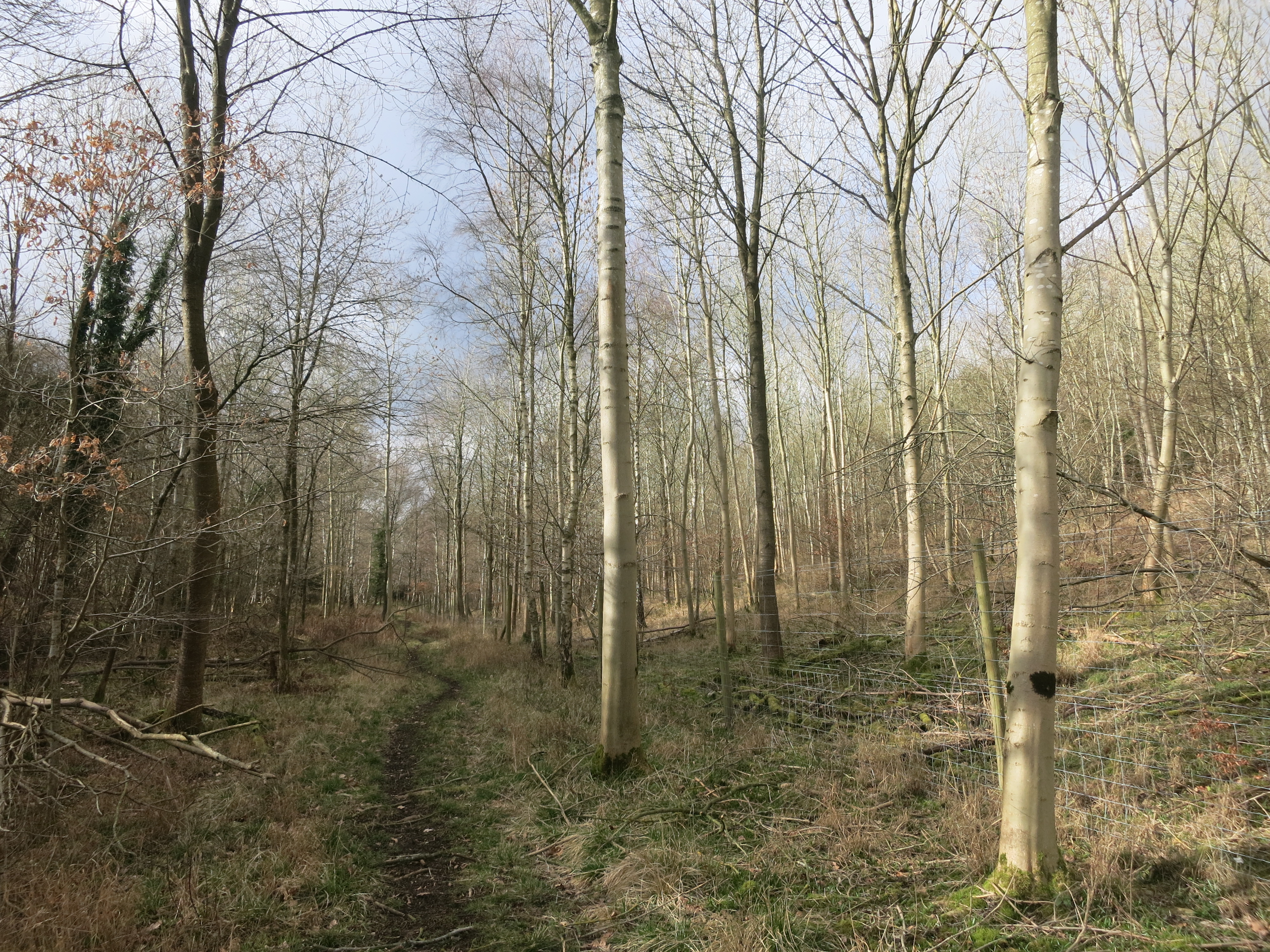
Big Ashes Plantation is a sprawling woodland located in Oxfordshire, England. Covering a vast area, it is renowned for its diverse and abundant tree species, making it an important ecological site in the region. The plantation is primarily composed of ash trees, after which it derives its name.
The woodland is characterized by its dense canopy and rich undergrowth, providing a haven for numerous species of birds, mammals, and insects. With its proximity to Oxfordshire's countryside, the plantation serves as an important habitat for wildlife, contributing to the overall biodiversity of the area.
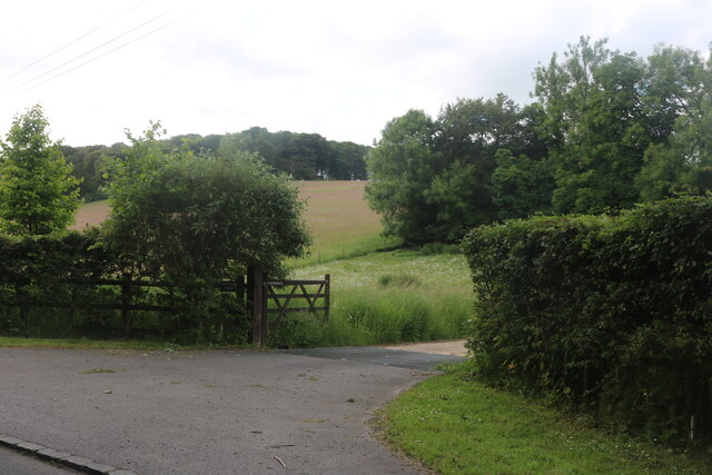
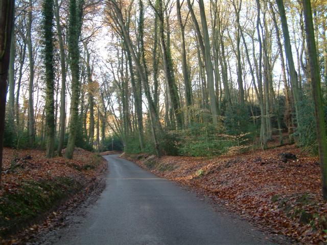
Visitors to Big Ashes Plantation can explore a network of well-maintained trails that wind their way through the woodland. These trails offer a unique opportunity to immerse oneself in nature, with towering trees and the soothing sounds of chirping birds providing a tranquil setting for walks and hikes.
The plantation is also home to a diverse array of plant life, with various wildflowers and ferns carpeting the forest floor. This creates a vibrant and colorful landscape throughout the seasons, attracting nature enthusiasts and photographers alike.
Furthermore, Big Ashes Plantation plays an important role in carbon sequestration, acting as a natural sink for greenhouse gases. The mature trees within the woodland contribute significantly to reducing carbon dioxide levels in the atmosphere, making it an essential asset in the fight against climate change.
Overall, Big Ashes Plantation is a cherished natural treasure in Oxfordshire, offering a wealth of ecological benefits and an idyllic setting for outdoor enthusiasts to enjoy the beauty of nature.
If you have any feedback on the listing, please let us know in the comments section below.
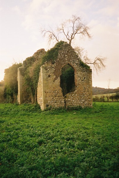
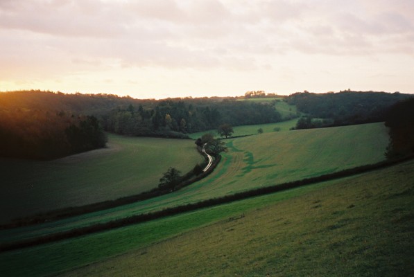
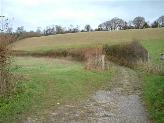
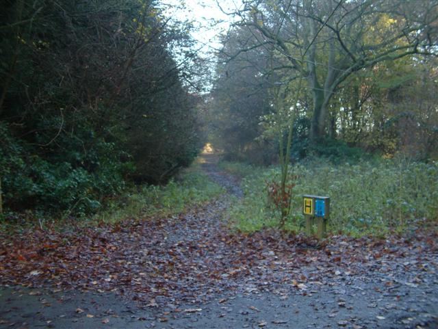
Big Ashes Plantation Images
Images are sourced within 2km of 51.589031/-0.96989352 or Grid Reference SU7188. Thanks to Geograph Open Source API. All images are credited.


Big Ashes Plantation is located at Grid Ref: SU7188 (Lat: 51.589031, Lng: -0.96989352)
Administrative County: Oxfordshire
District: South Oxfordshire
Police Authority: Thames Valley
What 3 Words
///relay.newly.household. Near Watlington, Oxfordshire
Nearby Locations
Related Wikis

Bix Bottom
Bix Bottom is a 102.3-hectare (253-acre) biological Site of Special Scientific Interest north-west of Henley-on-Thames in Oxfordshire. It is owned and...

Berrick Trench
Berrick Trench is a 2.1-hectare (5.2-acre) biological Site of Special Scientific Interest north of Nettlebed in Oxfordshire.This is an ancient semi-natural...

Maidensgrove
Maidensgrove is a hamlet above the Stonor valley in the Chiltern Hills, adjacent to Russell's Water common. It is about 5 miles (8.0 km) northwest of...

Crocker End House
Crocker End House in Nettlebed in Henley-on-Thames, Oxfordshire, England is a spacious Victorian home built to replace Nettlebed's prosperous rectory in...

Russell's Water
Russell's Water is a hamlet about 6 miles (9.7 km) north of Henley-on-Thames in South Oxfordshire. It is in the Chiltern Hills about 620 feet (190 m)...
Pishill
Pishill is a village and former civil parish, now in the parish of Pishill with Stonor, in the South Oxfordshire district, in the county of Oxfordshire...

Nettlebed
Nettlebed is a village and civil parish in Oxfordshire in the Chiltern Hills about 4+1⁄2 miles (7 km) northwest of Henley-on-Thames and 6 miles (10 km...
Pishill Woods
Pishill Woods is a 42.8-hectare (106-acre) biological Site of Special Scientific Interest north of Nettlebed in Oxfordshire.These semi-natural woods have...
Nearby Amenities
Located within 500m of 51.589031,-0.96989352Have you been to Big Ashes Plantation?
Leave your review of Big Ashes Plantation below (or comments, questions and feedback).