Juniperhill Wood

Wood, Forest in Oxfordshire South Oxfordshire

England

Juniperhill Wood

Cottages on the edge of Nettlebed Common This group of cottages sit facing the northern edge of Nettlebed Common but within the parish of Swyncombe.
Cottages on the edge of Nettlebed Common Credit: Simon Mortimer

Juniperhill Wood is a magnificent forest located in Oxfordshire, England. Spanning over a vast area, this woodland is a haven for nature enthusiasts and those seeking tranquility amidst the bustling city life. The wood is situated near the village of Juniperhill, which adds to its charm and accessibility.

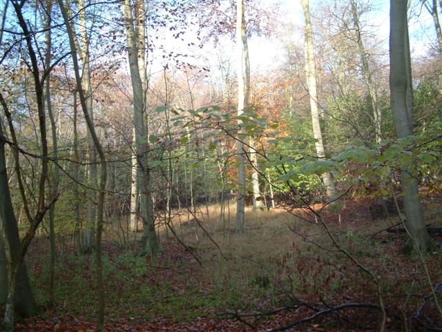
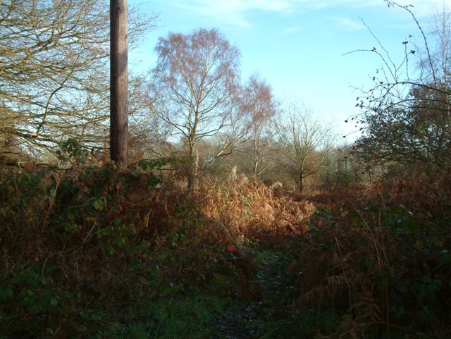
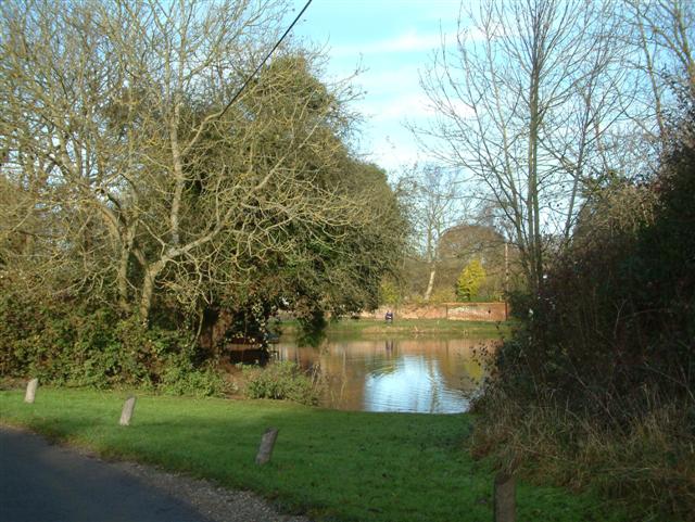
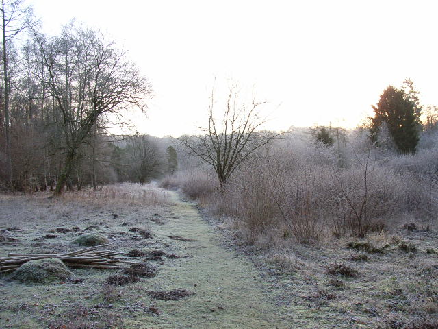
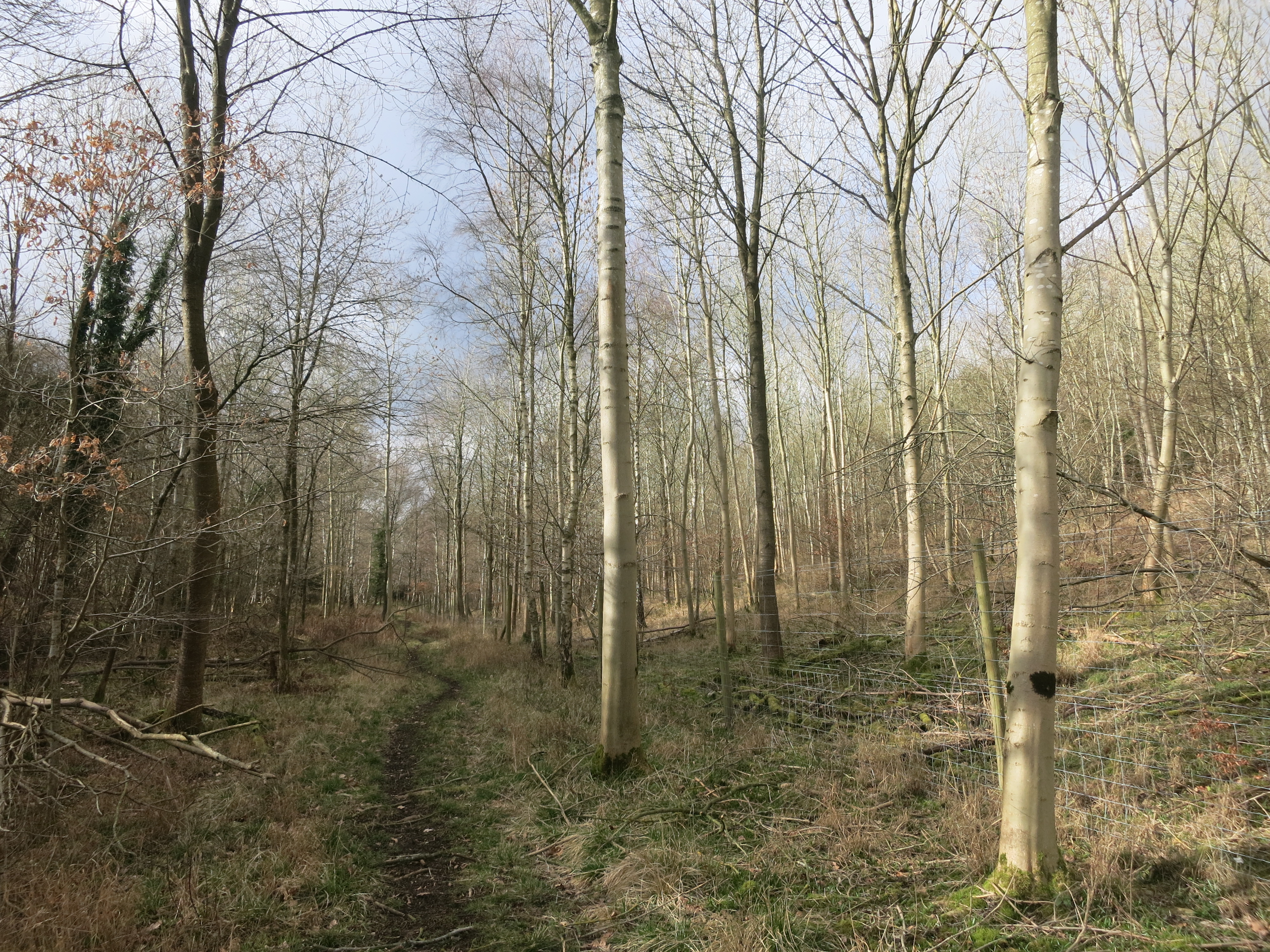
This enchanting forest is known for its diverse flora and fauna. Towering oak, beech, and birch trees dominate the landscape, their dense foliage providing shade and shelter to a wide range of wildlife. The forest floor is carpeted with a rich tapestry of ferns, wildflowers, and mosses, creating a vibrant and picturesque scene.

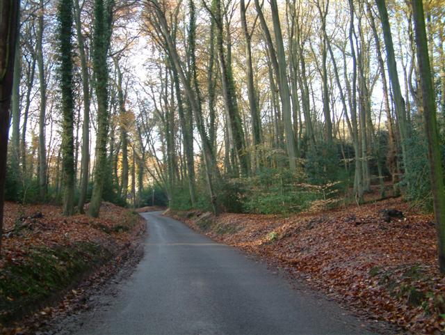
Visitors to Juniperhill Wood can embark on numerous walking trails that meander through the forest, allowing them to immerse themselves in its natural beauty. The trails offer breathtaking views of the surrounding countryside and provide ample opportunities for birdwatching and wildlife spotting. The wood is home to a variety of bird species, including woodpeckers, owls, and warblers, making it a paradise for bird lovers.

Additionally, Juniperhill Wood has a small picnic area where visitors can relax and enjoy a packed lunch amidst the tranquil surroundings. The wood is also a popular spot for photography enthusiasts, who are drawn to its scenic beauty and unique atmosphere.

Overall, Juniperhill Wood is a captivating forest that showcases the remarkable beauty of Oxfordshire's natural landscape. With its diverse wildlife, picturesque trails, and peaceful ambiance, it offers an unforgettable experience for anyone seeking to reconnect with nature.

If you have any feedback on the listing, please let us know in the comments section below.

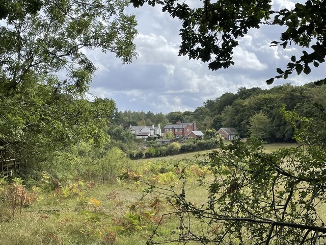
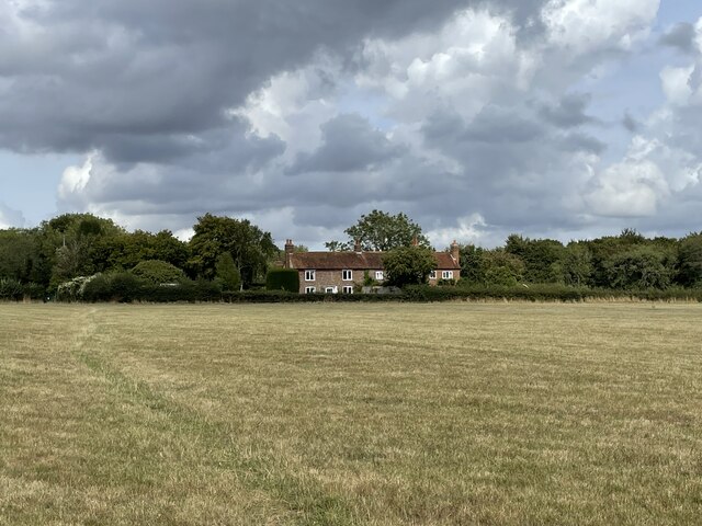
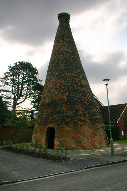
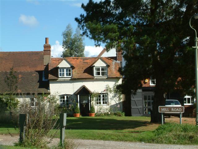
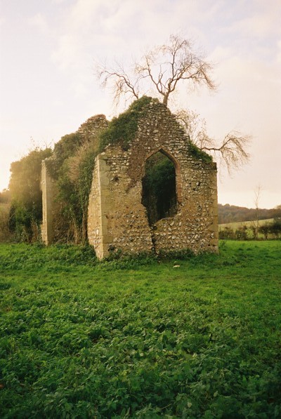
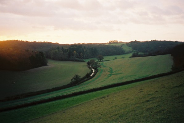
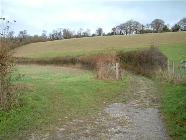
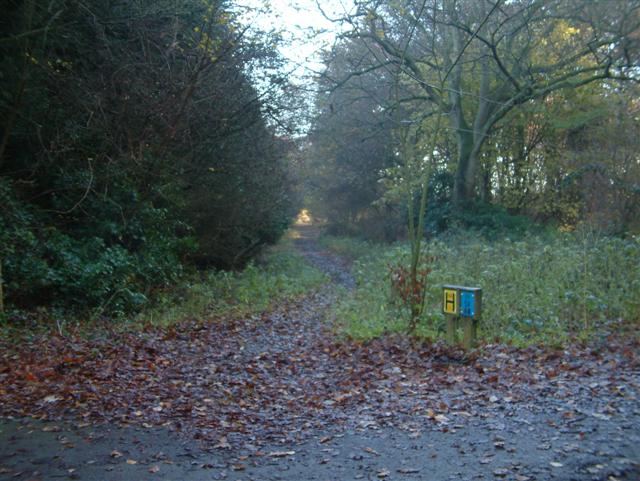
Juniperhill Wood Images

Images are sourced within 2km of 51.587946/-0.97333902 or Grid Reference SU7188. Thanks to Geograph Open Source API. All images are credited.

Cottages on the edge of Nettlebed Common This group of cottages sit facing the northern edge of Nettlebed Common but within the parish of Swyncombe.
Cottages on the edge of Nettlebed Common
This group of cottages sit facing the northern edge of Nettlebed Common but within the parish of Swyncombe.
Cottages at Park Corner Looking north along the footpath from Huntercombe End.
Cottages at Park Corner
Looking north along the footpath from Huntercombe End.
Nettlebed Kiln Centre of a mediaeval brick-making industry, this kiln is the last remaining vestige of the village's greatness.
Nettlebed Kiln
Centre of a mediaeval brick-making industry, this kiln is the last remaining vestige of the village's greatness.
Cottages in Mill Road Cottages in Mill Road, the road to Windmill Hill.
Cottages in Mill Road
Cottages in Mill Road, the road to Windmill Hill.
St James's, Bix Brand - the old church This ceased as a church in 1874. The new church is in the village centre, <a href="https://www.geograph.org.uk/gridref/SU7285">SU7285</a>
St James's, Bix Brand - the old church
This ceased as a church in 1874. The new church is in the village centre, SU7285
Bix Bottom A dry Chiltern valley.
Bix Bottom
A dry Chiltern valley.
The Oxfordshire Way
The Oxfordshire Way
The Footpath through Wellgrove Wood
Maidensgrove Wood
Maidensgrove Wood
The  Stonor to Maidensgrove Road
The Stonor to Maidensgrove Road
Maidensgrove & Russell's Water Common
A local track to the Common
The Five Horseshoes Public House
The Old Chapel, Russell's Water No longer a chapel, but the influences can be clearly seen with the stained glass window.
The Old Chapel, Russell's Water
No longer a chapel, but the influences can be clearly seen with the stained glass window.
Russell's Water
Russell's Water
Pishill Church
Pishill Church
The Warburg Nature Reserve A BBOWT reserve comprising woodland, chalk grassland and scrub <span class="nowrap"><a title="http://www.bbowt.org.uk/" rel="nofollow ugc noopener" href="http://www.bbowt.org.uk/">Link</a><img style="margin-left:2px;" alt="External link" title="External link - shift click to open in new window" src="https://s1.geograph.org.uk/img/external.png" width="10" height="10"/></span>
The Warburg Nature Reserve
A BBOWT reserve comprising woodland, chalk grassland and scrub LinkExternal link
Show me another place!

Juniperhill Wood is located at Grid Ref: SU7188 (Lat: 51.587946, Lng: -0.97333902)

Administrative County: Oxfordshire

District: South Oxfordshire

Police Authority: Thames Valley

What 3 Words

///stoops.surpasses.glades. Near Watlington, Oxfordshire

Related Wikis

Bix Bottom

Bix Bottom is a 102.3-hectare (253-acre) biological Site of Special Scientific Interest north-west of Henley-on-Thames in Oxfordshire. It is owned and...

Berrick Trench

Berrick Trench is a 2.1-hectare (5.2-acre) biological Site of Special Scientific Interest north of Nettlebed in Oxfordshire.This is an ancient semi-natural...

Maidensgrove

Maidensgrove is a hamlet above the Stonor valley in the Chiltern Hills, adjacent to Russell's Water common. It is about 5 miles (8.0 km) northwest of...

Crocker End House

Crocker End House in Nettlebed in Henley-on-Thames, Oxfordshire, England is a spacious Victorian home built to replace Nettlebed's prosperous rectory in...

Nettlebed

Nettlebed is a village and civil parish in Oxfordshire in the Chiltern Hills about 4+1⁄2 miles (7 km) northwest of Henley-on-Thames and 6 miles (10 km...

Russell's Water

Russell's Water is a hamlet about 6 miles (9.7 km) north of Henley-on-Thames in South Oxfordshire. It is in the Chiltern Hills about 620 feet (190 m)...

Pishill

Pishill is a village and former civil parish, now in the parish of Pishill with Stonor, in the South Oxfordshire district, in the county of Oxfordshire...

Pishill Woods

Pishill Woods is a 42.8-hectare (106-acre) biological Site of Special Scientific Interest north of Nettlebed in Oxfordshire.These semi-natural woods have...

Nearby Amenities

Located within 500m of 51.587946,-0.97333902
Barrier: kissing_gate
Bicycle: no
Foot: yes
Lat/Long: 51.590265/-0.9721376
Warburg
Bicycle: yes
Description: The Wildlife Trusts
Hiking: yes
Horse: yes
Information: map
Map Size: site
Map Type: scheme
Tourism: information
Lat/Long: 51.589221/-0.9668955
Barrier: kissing_gate
Foot: yes
Lat/Long: 51.5860084/-0.9678051
Barrier: kissing_gate
Bicycle: no
Foot: yes
Lat/Long: 51.5862242/-0.9789544
Barrier: kissing_gate
Bicycle: no
Foot: yes
Lat/Long: 51.5876358/-0.9777474
Barrier: kissing_gate
Bicycle: no
Foot: yes
Lat/Long: 51.5900515/-0.9769895
Barrier: kissing_gate
Bicycle: no
Foot: yes
Lat/Long: 51.590078/-0.9769576
Barrier: kissing_gate
Bicycle: no
Foot: yes
Lat/Long: 51.5900904/-0.9735506
Power: pole
Source: Bing
Lat/Long: 51.5912694/-0.9733042
Power: pole
Source: Bing
Lat/Long: 51.5912927/-0.9737857
Power: pole
Source: Bing
Lat/Long: 51.5912842/-0.9730279
Power: pole
Source: Bing
Lat/Long: 51.5914393/-0.9772093
Power: pole
Source: Bing
Lat/Long: 51.591191/-0.9717324
Power: pole
Source: Bing
Lat/Long: 51.5915059/-0.9742912
Power: pole
Source: Bing
Lat/Long: 51.590941/-0.9746104
Power: pole
Source: Bing
Lat/Long: 51.5908877/-0.9680658
Power: pole
Source: Bing
Lat/Long: 51.5910927/-0.9781374
Power: pole
Source: Bing
Lat/Long: 51.5918158/-0.9761686
Power: pole
Source: Bing
Lat/Long: 51.5922275/-0.9750691
Power: pole
Source: Bing
Lat/Long: 51.5910577/-0.9700641
Power: pole
Source: Bing
Lat/Long: 51.5919526/-0.9758146
Location Transition: yes
Power: pole
Lat/Long: 51.5887305/-0.9794569
Power: pole
Lat/Long: 51.5893828/-0.97803
Power: pole
Lat/Long: 51.5900461/-0.9765896
The data included in this document is from www.openstreetmap.org. The data is made available under ODbL.

Have you been to Juniperhill Wood?

Leave your review of Juniperhill Wood below (or comments, questions and feedback).