Carlton, East
Settlement in Yorkshire
England
Carlton, East
Carlton is a small village located in the East Riding of Yorkshire, England. Situated approximately 15 miles east of the city of York, it falls within the district of Selby. The village is nestled amidst the picturesque countryside, surrounded by rolling hills and flourishing farmlands.
The history of Carlton dates back to medieval times, and remnants of its past can be seen in the form of several well-preserved historic buildings and landmarks. The All Saints Church, a Grade I listed structure, is of particular significance, boasting impressive architectural features and a tranquil atmosphere.
Despite its small size, Carlton offers a range of amenities and services to cater to its residents. These include a primary school, a village hall, a post office, and a local pub. The village also benefits from good transport links, with regular bus services connecting it to neighboring towns and cities.
The community spirit in Carlton is strong, with various local events and activities taking place throughout the year. The village fete, held annually, is a highlight, bringing together residents and visitors for a day of festivities and fun.
Surrounded by stunning natural beauty, Carlton is an ideal location for outdoor enthusiasts. The village is surrounded by scenic walking and cycling routes, providing ample opportunities for exploration and relaxation in the nearby countryside.
In summary, Carlton is a charming village in East Yorkshire that offers a peaceful and idyllic setting for its residents. With its rich history, community spirit, and beautiful surroundings, it is a hidden gem within the region.
If you have any feedback on the listing, please let us know in the comments section below.
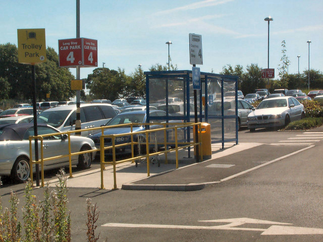
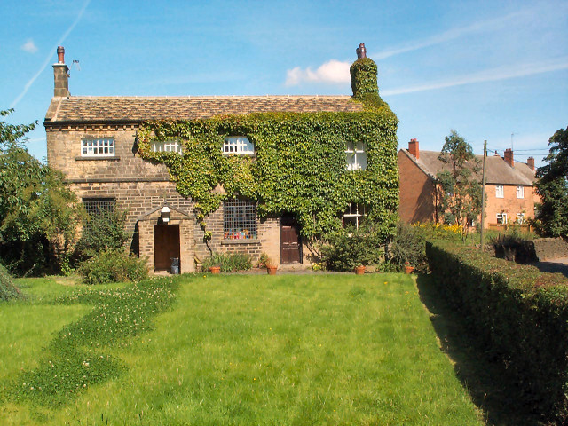
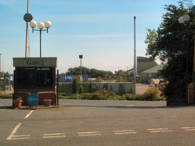
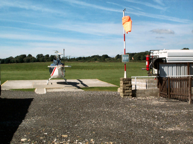
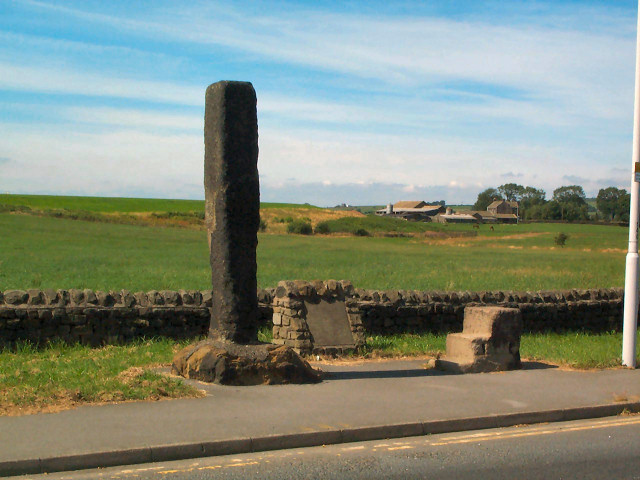
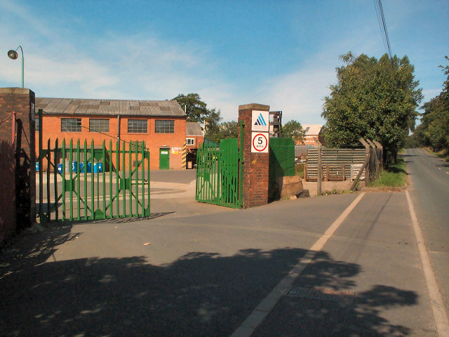
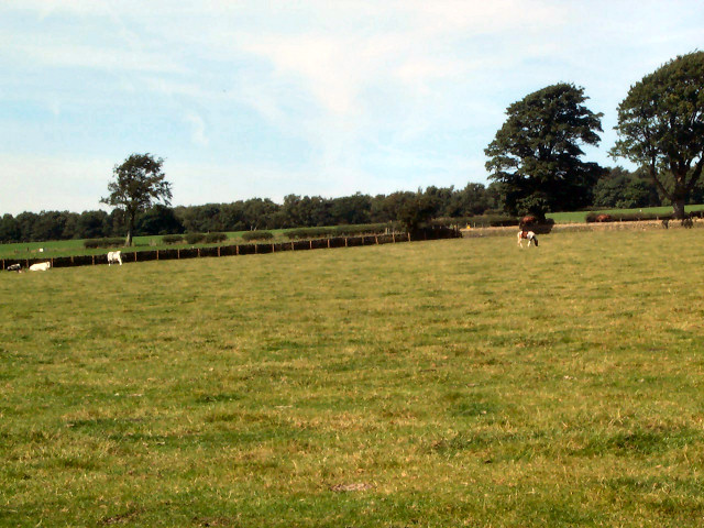
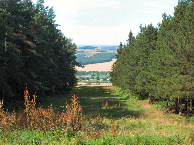
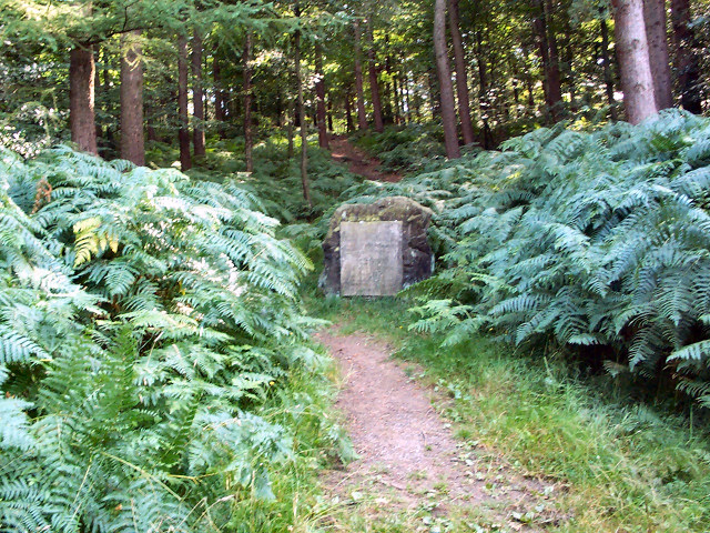
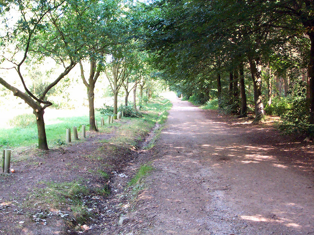
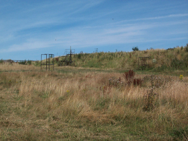
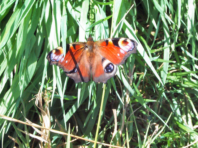
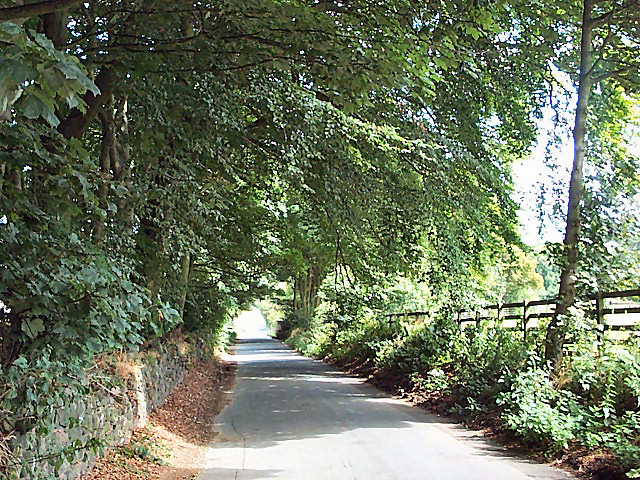
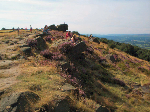
Carlton, East Images
Images are sourced within 2km of 53.884079/-1.667556 or Grid Reference SE2143. Thanks to Geograph Open Source API. All images are credited.

Carlton, East is located at Grid Ref: SE2143 (Lat: 53.884079, Lng: -1.667556)
Division: West Riding
Unitary Authority: Leeds
Police Authority: West Yorkshire
What 3 Words
///laces.sticks.pulled. Near Yeadon, West Yorkshire
Nearby Locations
Related Wikis

Carlton, Wharfedale
Carlton is a civil parish in the City of Leeds in West Yorkshire, England. It consists of the villages of East Carlton and West Carlton, and in 2001 had...

Aireborough
Aireborough was a local government district in the West Riding of Yorkshire, England from 1937 to 1974. It was formed through the abolition of the urban...
The Chevin
The Chevin is the ridge on the south side of Wharfedale in Leeds, West Yorkshire, England, overlooking the market town of Otley, and often known as Otley...

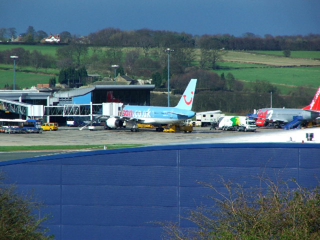
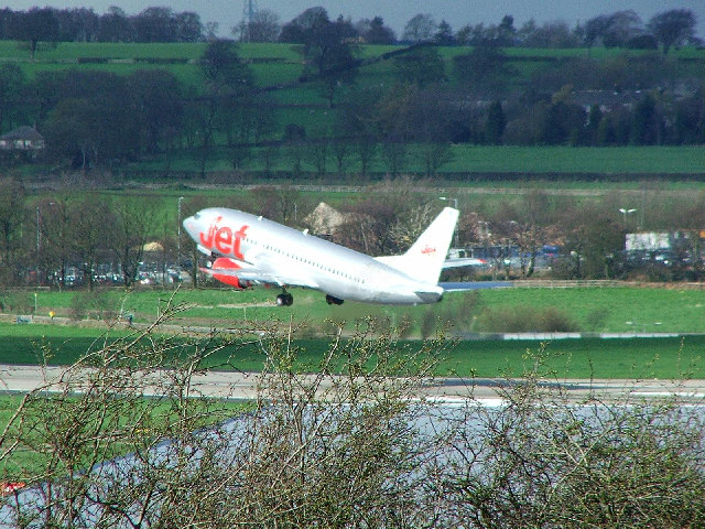
Leeds Bradford Airport
Leeds Bradford Airport (IATA: LBA, ICAO: EGNM) is located in Yeadon, in the City of Leeds Metropolitan District in West Yorkshire, England, about 7 miles...

Yeadon, West Yorkshire
Yeadon is a town within the metropolitan borough of the City of Leeds, West Yorkshire, England. Most of the town is in the Otley and Yeadon ward of Leeds...

Yeadon Town Hall
Yeadon Town Hall is a municipal building in Yeadon, West Yorkshire, England. It is Grade II listed. == History == In the early 19th century the local board...

Otley railway station
Otley railway station was a railway station serving the town of Otley in West Yorkshire, England. == History == It was opened as a joint venture on the...

Otley
Otley is a market town and civil parish at a bridging point on the River Wharfe, in the City of Leeds metropolitan borough in West Yorkshire, England....
Nearby Amenities
Located within 500m of 53.884079,-1.667556Have you been to Carlton, East?
Leave your review of Carlton, East below (or comments, questions and feedback).