Fox Gorse

Wood, Forest in Berkshire

England

Fox Gorse

Approach to Barge Lane on A33 Taken just past where the road crosses a substantial land drain.
Approach to Barge Lane on A33 Credit: Clint Mann

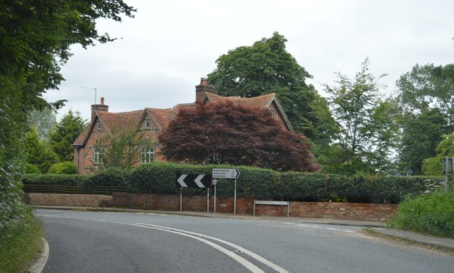
Fox Gorse is a picturesque woodland area located in Berkshire, England. It is known for its dense forest cover and stunning natural beauty. Situated in the heart of the county, Fox Gorse spans over a vast area and is a popular destination for outdoor enthusiasts and nature lovers.

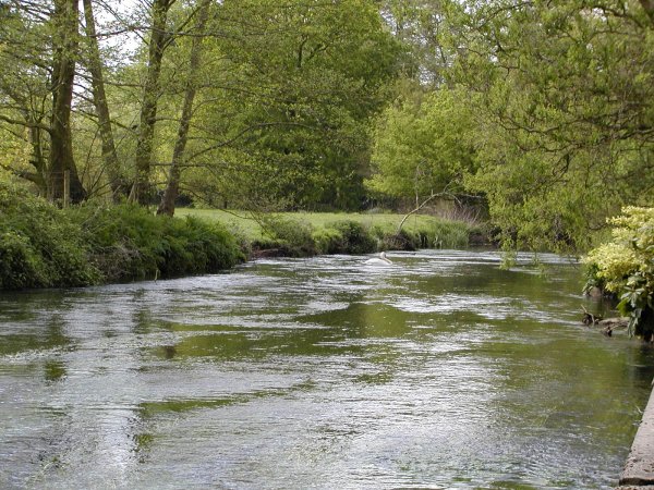
The woodland is characterized by its diverse range of tree species, including oak, beech, and birch. These towering trees create a stunning canopy, providing shade and shelter to a rich variety of flora and fauna. The forest floor is adorned with a carpet of wildflowers, adding bursts of vibrant colors to the landscape.

Tranquil pathways wind through the woodland, providing visitors with the opportunity to explore the area at their own pace. These well-marked trails offer a chance to immerse oneself in the peaceful ambiance and observe the native wildlife, such as deer, foxes, and a myriad of bird species.

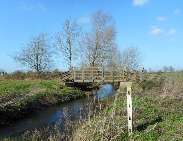
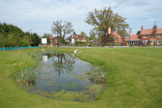
Fox Gorse also boasts a small, serene pond nestled amidst the trees. This body of water adds to the charm of the forest and serves as a watering hole for the resident wildlife.

The woodland is well-maintained and managed by local authorities, ensuring the preservation of its natural beauty. It is a designated site of special scientific interest due to its ecological importance and the presence of rare plant species.

Overall, Fox Gorse in Berkshire is a haven for nature enthusiasts, providing a serene escape from the bustling towns and cities. Its lush vegetation, tranquil pathways, and diverse wildlife make it a perfect destination for those seeking a peaceful retreat in the heart of nature.

If you have any feedback on the listing, please let us know in the comments section below.
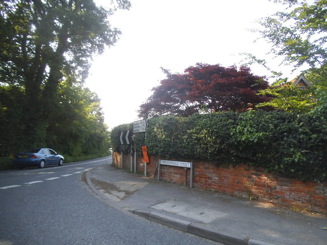
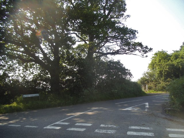
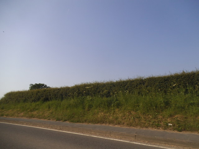
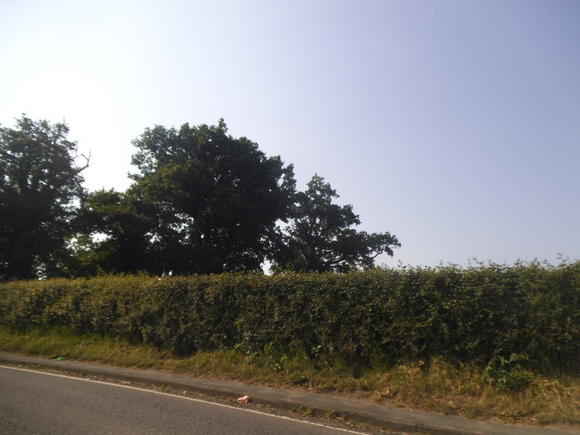
Fox Gorse Images

Images are sourced within 2km of 51.381163/-0.98598932 or Grid Reference SU7065. Thanks to Geograph Open Source API. All images are credited.

Approach to Barge Lane on A33 Taken just past where the road crosses a substantial land drain.
Approach to Barge Lane on A33
Taken just past where the road crosses a substantial land drain.
Beech Hill Road Bridge, A33 The A33 is a 52 mile long road from Reading to Southampton.
It is split into two distinct sections - the first is the main cross country route from Reading to Basingstoke, and the second the ancient Roman road from Popham, through Winchester, to Southampton. 
<span class="nowrap"><a title="http://www.sabre-roads.org.uk/wiki/index.php?title=A33" rel="nofollow ugc noopener" href="http://www.sabre-roads.org.uk/wiki/index.php?title=A33">Link</a><img style="margin-left:2px;" alt="External link" title="External link - shift click to open in new window" src="https://s1.geograph.org.uk/img/external.png" width="10" height="10"/></span>
Beech Hill Road Bridge, A33
The A33 is a 52 mile long road from Reading to Southampton. It is split into two distinct sections - the first is the main cross country route from Reading to Basingstoke, and the second the ancient Roman road from Popham, through Winchester, to Southampton. LinkExternal link
Telephone Exchange, Spencers Wood Situated in The Square, this TE would appear to comprise of the redbrick building on the left dating from the GPO era and the building behind it having been built later. Besides Spencers Wood, this TE also serves Beech Hill, Grazeley, Shinfield, Swallowfield and Three Mile Cross nearby. The red rubbish bin can be seen at the side of the old building whilst a BT Openreach vehicle is  in the middle of the photo parked between the two buildings. This TE has the numbering range (01189) 88xxxx, the (01189) referring to the Reading group of TEs, and its postcode is RG7 1BS.
Telephone Exchange, Spencers Wood
Situated in The Square, this TE would appear to comprise of the redbrick building on the left dating from the GPO era and the building behind it having been built later. Besides Spencers Wood, this TE also serves Beech Hill, Grazeley, Shinfield, Swallowfield and Three Mile Cross nearby. The red rubbish bin can be seen at the side of the old building whilst a BT Openreach vehicle is in the middle of the photo parked between the two buildings. This TE has the numbering range (01189) 88xxxx, the (01189) referring to the Reading group of TEs, and its postcode is RG7 1BS.
Swallowfield Street at the junction of Basingstoke Road
Yew Tree Lane at the junction of Beech Hill Road
Hedgerow by Basingstoke Road, Swallowfield
Trees by Basingstoke Road, Swallowfield
Lambs Lane at the junction of Beech Hill Road
Private track off Beech Hill Road
B3349, northbound The B3349 runs 27 miles from Alton <a href="https://www.geograph.org.uk/photo/5212600">SU7038 : Junction of A339 & B3349</a> to Wokingham.
<span class="nowrap"><a title="http://www.sabre-roads.org.uk/wiki/index.php?title=B3349" rel="nofollow ugc noopener" href="http://www.sabre-roads.org.uk/wiki/index.php?title=B3349">Link</a><img style="margin-left:2px;" alt="External link" title="External link - shift click to open in new window" src="https://s1.geograph.org.uk/img/external.png" width="10" height="10"/></span>
B3349, northbound
The B3349 runs 27 miles from Alton SU7038 : Junction of A339 & B3349 to Wokingham. LinkExternal link
B3349, Spencers Wood The B3349 runs 27 miles from Alton <a href="https://www.geograph.org.uk/photo/5212600">SU7038 : Junction of A339 & B3349</a> to Wokingham.
<span class="nowrap"><a title="http://www.sabre-roads.org.uk/wiki/index.php?title=B3349" rel="nofollow ugc noopener" href="http://www.sabre-roads.org.uk/wiki/index.php?title=B3349">Link</a><img style="margin-left:2px;" alt="External link" title="External link - shift click to open in new window" src="https://s1.geograph.org.uk/img/external.png" width="10" height="10"/></span>
B3349, Spencers Wood
The B3349 runs 27 miles from Alton SU7038 : Junction of A339 & B3349 to Wokingham. LinkExternal link
Bridge over the Foudry Brook On the bridleway between Spencers Wood and Grazeley.
Bridge over the Foudry Brook
On the bridleway between Spencers Wood and Grazeley.
Pond near Grazeley This is beside the Foudry Brook in the middle of a field.
The pond is crescent shaped, like it might have been a moat or something, but there's nothing on the map about it.
Update from Penny Mayes :- Looking at the oldest large scale maps I think this is an ox-bow lake. Looks like a new straighter channel may have been cut for the stream to make the land more useful."
Pond near Grazeley
This is beside the Foudry Brook in the middle of a field. The pond is crescent shaped, like it might have been a moat or something, but there's nothing on the map about it. Update from Penny Mayes :- Looking at the oldest large scale maps I think this is an ox-bow lake. Looks like a new straighter channel may have been cut for the stream to make the land more useful."
Bridleway Gate, Grazeley This is a good, fit for purpose sort of gate. Solid enough to keep vehicles out but easy for horses to step over.
Bridleway Gate, Grazeley
This is a good, fit for purpose sort of gate. Solid enough to keep vehicles out but easy for horses to step over.
Barge Lane, Stanford End A quiet, narrow country lane which suddenly meets the A33 dual carriageway a short way round the corner.
Barge Lane, Stanford End
A quiet, narrow country lane which suddenly meets the A33 dual carriageway a short way round the corner.
Fields West of Barge Lane
Pond at The Pippins The Pippins is a new housing development on the edge of Swallowfield village. This landscaped pond as well as being ornamental, is designed as a holding pond for storm water.
Pond at The Pippins
The Pippins is a new housing development on the edge of Swallowfield village. This landscaped pond as well as being ornamental, is designed as a holding pond for storm water.
The Pippins, Swallowfield A new housing development.
The Pippins, Swallowfield
A new housing development.
Show me another place!

Fox Gorse is located at Grid Ref: SU7065 (Lat: 51.381163, Lng: -0.98598932)

Unitary Authority: Wokingham

Police Authority: Thames Valley

What 3 Words

///chop.took.papers. Near Swallowfield, Berkshire

Related Wikis

Beaumys Castle

Beaumys Castle, also known as Beams Castle, was a 14th-century fortified manor house in the parish of Swallowfield in the English county of Berkshire....

Stratfield Saye Priory

Stratfield Saye Priory was an alien priory belonging to the Abbey of Vallemont, located at Beech Hill in the Berkshire part of the parish of Stratfield...

Beech Hill, Berkshire

Beech Hill is a small village and civil parish in Berkshire, England. It is in the south east of the West Berkshire unitary authority area and bounds Hampshire...

Spencers Wood

Spencers Wood is a village in the civil parish of Shinfield, Berkshire, England, 4 miles (6.4 km) south of Reading. The village of Three Mile Cross adjoins...

Grazeley

Grazeley is an area covering the small villages of Grazeley in the civil parish of Shinfield and Grazeley Green in the civil parish of Wokefield, 4 miles...

Stanford End Mill and River Loddon

Stanford End Mill and River Loddon is a 11.8-hectare (29-acre) biological Site of Special Scientific Interest south of Reading in Berkshire. It covers...

Swallowfield

Swallowfield is a village and civil parish in Berkshire, England, about 5 miles (8 km) south of Reading, and 1 mile (1.6 km) north of the county boundary...

River Blackwater (River Loddon)

The River Blackwater is a tributary of the Loddon in England and sub-tributary of the Thames. It rises at two springs in Rowhill Nature Reserve between...

Nearby Amenities

Located within 500m of 51.381163,-0.98598932
Barrier: bollard
Lat/Long: 51.3783943/-0.982836
Barrier: bollard
Lat/Long: 51.3833141/-0.986089
Tourism: caravan_site
Lat/Long: 51.3833873/-0.9817454
Rest Area
Note: layby (extra lane by road)
Source: bing
Toilets: no
Lat/Long: 51.3788745/-0.9846897
Addr Postcode: RG7 1AN
Building: yes
Lat/Long: 51.3839456/-0.9832066
Direction: 115
Generator Method: photovoltaic
Generator Output Electricity: yes
Generator Solar Modules: 13
Generator Source: solar
Generator Type: solar_photovoltaic_panel
Location: roof
Power: generator
Tilt: 20
Lat/Long: 51.3833674/-0.9798929
The data included in this document is from www.openstreetmap.org. The data is made available under ODbL.

Have you been to Fox Gorse?

Leave your review of Fox Gorse below (or comments, questions and feedback).