Beech Hill Coverts

Wood, Forest in Berkshire

England

Beech Hill Coverts

Approach to Barge Lane on A33 Taken just past where the road crosses a substantial land drain.
Approach to Barge Lane on A33 Credit: Clint Mann

Beech Hill Coverts is a picturesque woodland area located in the county of Berkshire, England. Situated just south of the town of Reading, the coverts cover approximately 200 acres of land, making it a significant natural feature in the region. The wood is predominantly composed of beech trees, which lend their name to the area.

The woodland is known for its dense canopy, creating a tranquil and secluded atmosphere for visitors. The tall, mature beech trees provide ample shade during hot summer months, making it a popular destination for nature enthusiasts seeking respite from the sun. The forest floor is covered in a thick layer of leaf litter, creating a soft and quiet surface for hikers and walkers.

Beech Hill Coverts is home to a diverse range of flora and fauna. The dense vegetation allows for the growth of a variety of wildflowers, including bluebells and wood anemones, which create a vibrant display during the spring months. The wood also provides a habitat for numerous bird species, such as woodpeckers and tawny owls, as well as small mammals like squirrels and deer.

Visitors to Beech Hill Coverts can enjoy a network of well-maintained footpaths and trails that wind through the woodland, allowing for leisurely walks or more challenging hikes. The peaceful ambiance and beautiful natural surroundings make it an ideal location for nature lovers, photographers, and those seeking a peaceful retreat from the hustle and bustle of urban life.

In conclusion, Beech Hill Coverts in Berkshire is a stunning woodland area filled with mature beech trees, diverse wildlife, and a tranquil atmosphere. Its beauty and natural charm make it a popular destination for visitors seeking to connect with nature and enjoy the peacefulness of the forest.

If you have any feedback on the listing, please let us know in the comments section below.

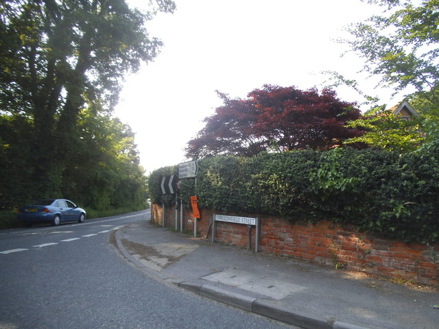
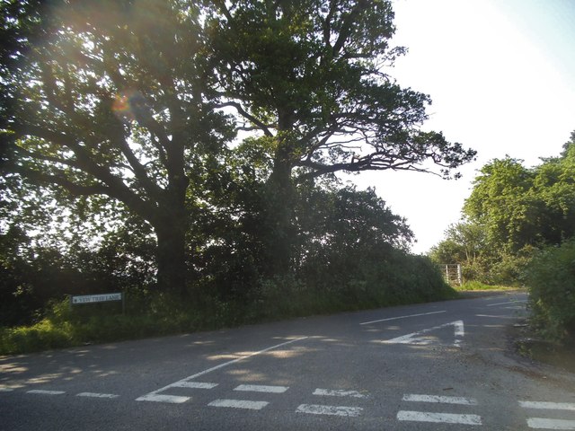
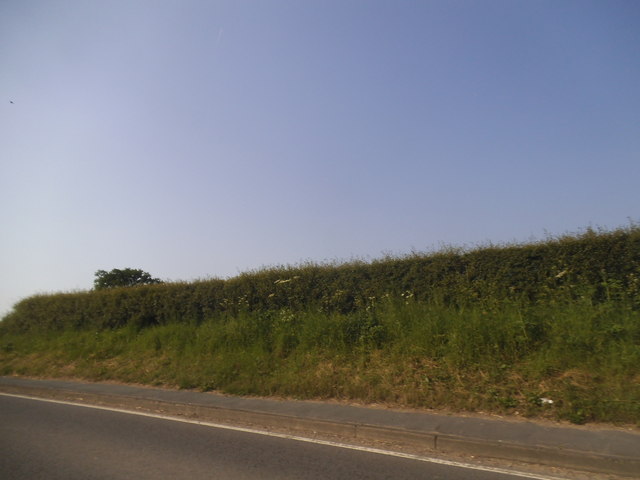
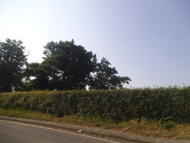
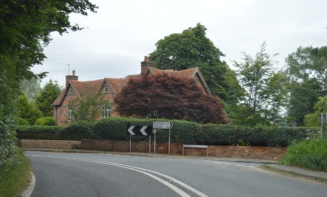
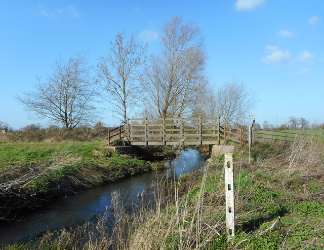
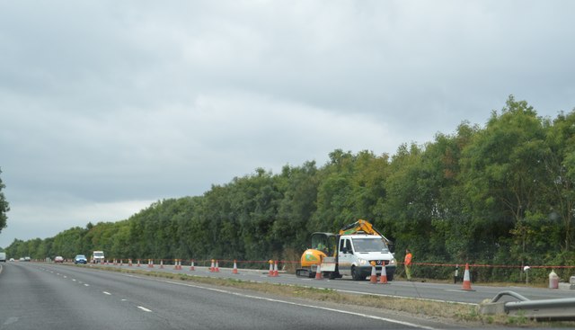
Beech Hill Coverts Images

Images are sourced within 2km of 51.380256/-0.99131153 or Grid Reference SU7065. Thanks to Geograph Open Source API. All images are credited.

Approach to Barge Lane on A33 Taken just past where the road crosses a substantial land drain.
Approach to Barge Lane on A33
Taken just past where the road crosses a substantial land drain.
Beech Hill Road Bridge, A33 The A33 is a 52 mile long road from Reading to Southampton.
It is split into two distinct sections - the first is the main cross country route from Reading to Basingstoke, and the second the ancient Roman road from Popham, through Winchester, to Southampton. 
<span class="nowrap"><a title="http://www.sabre-roads.org.uk/wiki/index.php?title=A33" rel="nofollow ugc noopener" href="http://www.sabre-roads.org.uk/wiki/index.php?title=A33">Link</a><img style="margin-left:2px;" alt="External link" title="External link - shift click to open in new window" src="https://s1.geograph.org.uk/img/external.png" width="10" height="10"/></span>
Beech Hill Road Bridge, A33
The A33 is a 52 mile long road from Reading to Southampton. It is split into two distinct sections - the first is the main cross country route from Reading to Basingstoke, and the second the ancient Roman road from Popham, through Winchester, to Southampton. LinkExternal link
Swallowfield Street at the junction of Basingstoke Road
Yew Tree Lane at the junction of Beech Hill Road
Hedgerow by Basingstoke Road, Swallowfield
Trees by Basingstoke Road, Swallowfield
Lambs Lane at the junction of Beech Hill Road
Private track off Beech Hill Road
B3349, northbound The B3349 runs 27 miles from Alton <a href="https://www.geograph.org.uk/photo/5212600">SU7038 : Junction of A339 & B3349</a> to Wokingham.
<span class="nowrap"><a title="http://www.sabre-roads.org.uk/wiki/index.php?title=B3349" rel="nofollow ugc noopener" href="http://www.sabre-roads.org.uk/wiki/index.php?title=B3349">Link</a><img style="margin-left:2px;" alt="External link" title="External link - shift click to open in new window" src="https://s1.geograph.org.uk/img/external.png" width="10" height="10"/></span>
B3349, northbound
The B3349 runs 27 miles from Alton SU7038 : Junction of A339 & B3349 to Wokingham. LinkExternal link
B3349, Spencers Wood The B3349 runs 27 miles from Alton <a href="https://www.geograph.org.uk/photo/5212600">SU7038 : Junction of A339 & B3349</a> to Wokingham.
<span class="nowrap"><a title="http://www.sabre-roads.org.uk/wiki/index.php?title=B3349" rel="nofollow ugc noopener" href="http://www.sabre-roads.org.uk/wiki/index.php?title=B3349">Link</a><img style="margin-left:2px;" alt="External link" title="External link - shift click to open in new window" src="https://s1.geograph.org.uk/img/external.png" width="10" height="10"/></span>
B3349, Spencers Wood
The B3349 runs 27 miles from Alton SU7038 : Junction of A339 & B3349 to Wokingham. LinkExternal link
Bridge over the Foudry Brook On the bridleway between Spencers Wood and Grazeley.
Bridge over the Foudry Brook
On the bridleway between Spencers Wood and Grazeley.
Pond near Grazeley This is beside the Foudry Brook in the middle of a field.
The pond is crescent shaped, like it might have been a moat or something, but there's nothing on the map about it.
Update from Penny Mayes :- Looking at the oldest large scale maps I think this is an ox-bow lake. Looks like a new straighter channel may have been cut for the stream to make the land more useful."
Pond near Grazeley
This is beside the Foudry Brook in the middle of a field. The pond is crescent shaped, like it might have been a moat or something, but there's nothing on the map about it. Update from Penny Mayes :- Looking at the oldest large scale maps I think this is an ox-bow lake. Looks like a new straighter channel may have been cut for the stream to make the land more useful."
Bridleway Gate, Grazeley This is a good, fit for purpose sort of gate. Solid enough to keep vehicles out but easy for horses to step over.
Bridleway Gate, Grazeley
This is a good, fit for purpose sort of gate. Solid enough to keep vehicles out but easy for horses to step over.
Barge Lane, Stanford End A quiet, narrow country lane which suddenly meets the A33 dual carriageway a short way round the corner.
Barge Lane, Stanford End
A quiet, narrow country lane which suddenly meets the A33 dual carriageway a short way round the corner.
Fields West of Barge Lane
Beech Hill Road Bridge, A33 The A33 is a 52 mile long road from Reading to Southampton.
It is split into two distinct sections - the first is the main cross country route from Reading to Basingstoke, and the second the ancient Roman road from Popham, through Winchester, to Southampton. 
<span class="nowrap"><a title="http://www.sabre-roads.org.uk/wiki/index.php?title=A33" rel="nofollow ugc noopener" href="http://www.sabre-roads.org.uk/wiki/index.php?title=A33">Link</a><img style="margin-left:2px;" alt="External link" title="External link - shift click to open in new window" src="https://s1.geograph.org.uk/img/external.png" width="10" height="10"/></span>
Beech Hill Road Bridge, A33
The A33 is a 52 mile long road from Reading to Southampton. It is split into two distinct sections - the first is the main cross country route from Reading to Basingstoke, and the second the ancient Roman road from Popham, through Winchester, to Southampton. LinkExternal link
Roadworks, A33 The A33 is a 52 mile long road from Reading to Southampton.
It is split into two distinct sections - the first is the main cross country route from Reading to Basingstoke, and the second the ancient Roman road from Popham, through Winchester, to Southampton. 
<span class="nowrap"><a title="http://www.sabre-roads.org.uk/wiki/index.php?title=A33" rel="nofollow ugc noopener" href="http://www.sabre-roads.org.uk/wiki/index.php?title=A33">Link</a><img style="margin-left:2px;" alt="External link" title="External link - shift click to open in new window" src="https://s1.geograph.org.uk/img/external.png" width="10" height="10"/></span>
Roadworks, A33
The A33 is a 52 mile long road from Reading to Southampton. It is split into two distinct sections - the first is the main cross country route from Reading to Basingstoke, and the second the ancient Roman road from Popham, through Winchester, to Southampton. LinkExternal link
A33, southbound The A33 is a 52 mile long road from Reading to Southampton.
It is split into two distinct sections - the first is the main cross country route from Reading to Basingstoke, and the second the ancient Roman road from Popham, through Winchester, to Southampton. 
<span class="nowrap"><a title="http://www.sabre-roads.org.uk/wiki/index.php?title=A33" rel="nofollow ugc noopener" href="http://www.sabre-roads.org.uk/wiki/index.php?title=A33">Link</a><img style="margin-left:2px;" alt="External link" title="External link - shift click to open in new window" src="https://s1.geograph.org.uk/img/external.png" width="10" height="10"/></span>
A33, southbound
The A33 is a 52 mile long road from Reading to Southampton. It is split into two distinct sections - the first is the main cross country route from Reading to Basingstoke, and the second the ancient Roman road from Popham, through Winchester, to Southampton. LinkExternal link
Show me another place!

Beech Hill Coverts is located at Grid Ref: SU7065 (Lat: 51.380256, Lng: -0.99131153)

Unitary Authority: West Berkshire

Police Authority: Thames Valley

What 3 Words

///monks.still.chill. Near Swallowfield, Berkshire

Related Wikis

Stratfield Saye Priory

Stratfield Saye Priory was an alien priory belonging to the Abbey of Vallemont, located at Beech Hill in the Berkshire part of the parish of Stratfield...

Beaumys Castle

Beaumys Castle, also known as Beams Castle, was a 14th-century fortified manor house in the parish of Swallowfield in the English county of Berkshire....

Beech Hill, Berkshire

Beech Hill is a small village and civil parish in Berkshire, England. It is in the south east of the West Berkshire unitary authority area and bounds Hampshire...

Stanford End Mill and River Loddon

Stanford End Mill and River Loddon is a 11.8-hectare (29-acre) biological Site of Special Scientific Interest south of Reading in Berkshire. It covers...

Bloomfield Hatch

Bloomfield Hatch is a hamlet in Berkshire, England, and part of the civil parish of Wokefield . The settlement lies near the villages of Stratfield Mortimer...

Grazeley

Grazeley is an area covering the small villages of Grazeley in the civil parish of Shinfield and Grazeley Green in the civil parish of Wokefield, 4 miles...

Spencers Wood

Spencers Wood is a village in the civil parish of Shinfield, Berkshire, England, 4 miles (6.4 km) south of Reading. The village of Three Mile Cross adjoins...

Swallowfield

Swallowfield is a village and civil parish in Berkshire, England, about 5 miles (8 km) south of Reading, and 1 mile (1.6 km) north of the county boundary...

Nearby Amenities

Located within 500m of 51.380256,-0.99131153
Barrier: bollard
Lat/Long: 51.3833141/-0.986089
Rest Area
Note: layby (extra lane by road)
Source: bing
Toilets: no
Lat/Long: 51.3788745/-0.9846897
Passing Place
Lat/Long: 51.3806891/-0.9949538
Passing Place
Lat/Long: 51.3808692/-0.9965404
Barrier: yes
Lat/Long: 51.3782891/-0.9947282
Give Way
Direction: forward
Lat/Long: 51.3803917/-0.993442
Passing Place
Lat/Long: 51.3810184/-0.9977243
The data included in this document is from www.openstreetmap.org. The data is made available under ODbL.

Have you been to Beech Hill Coverts?

Leave your review of Beech Hill Coverts below (or comments, questions and feedback).