Burrafirth, East

Settlement in Shetland

Scotland

Burrafirth, East

Slyde, East Burrafirth House at the end of the road, above Aith Voe.
Slyde, East Burrafirth Credit: Mike Pennington

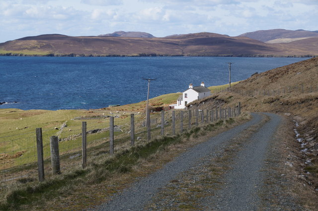
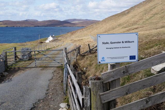
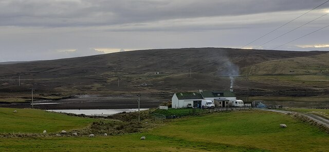
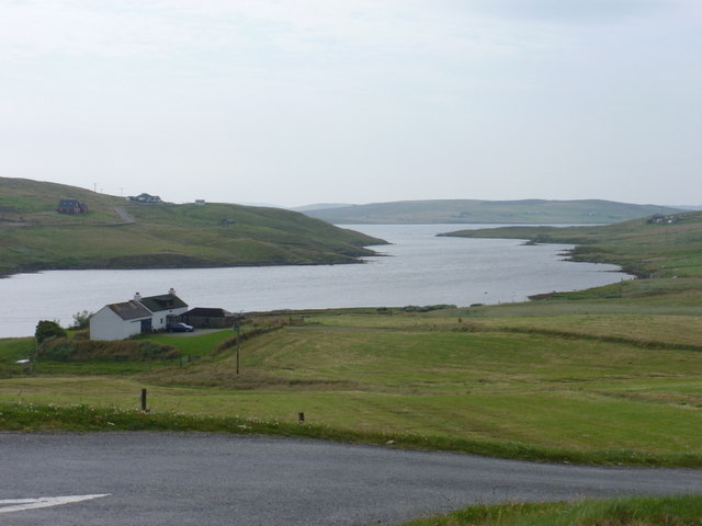
Burrafirth is a small coastal village located in the northeastern part of the Shetland Islands, specifically in the East mainland of Shetland, Scotland. Situated within the parish of Northmavine, Burrafirth is known for its picturesque beauty and tranquil atmosphere.

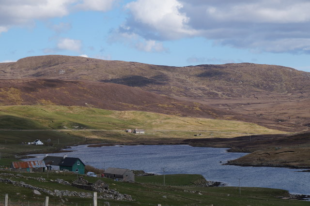
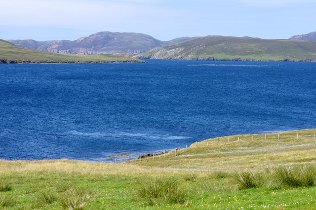
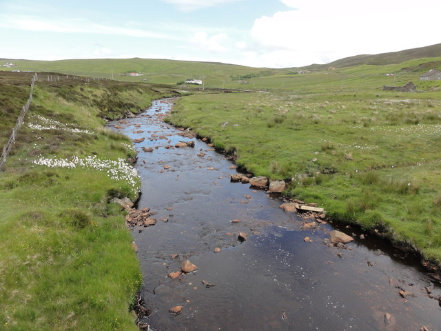
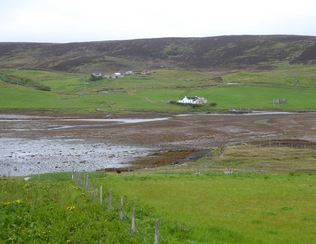
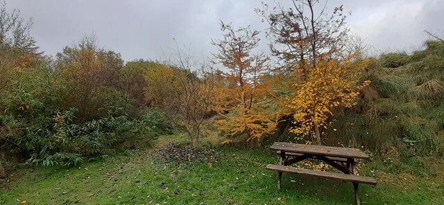
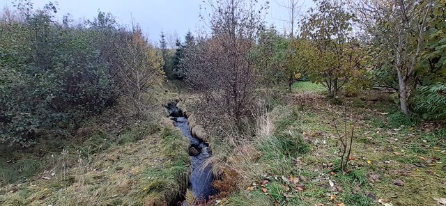
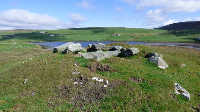
The village is nestled along the eastern coastline, offering stunning views of the North Sea and the surrounding rugged cliffs. Its remote location makes it an ideal destination for those seeking a peaceful getaway or a chance to immerse themselves in nature. The area is rich in wildlife, with seabird colonies dotting the cliffs and seals often spotted sunbathing on the rocks.

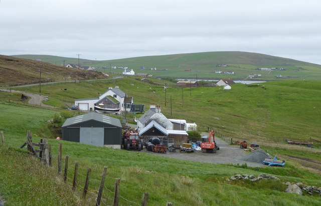
Burrafirth is home to a small population, and its community is tightly knit. The village has a few scattered houses and farms, giving it a charming and authentic feel. The locals rely on fishing and agriculture as their main sources of livelihood, contributing to the area's rural character.

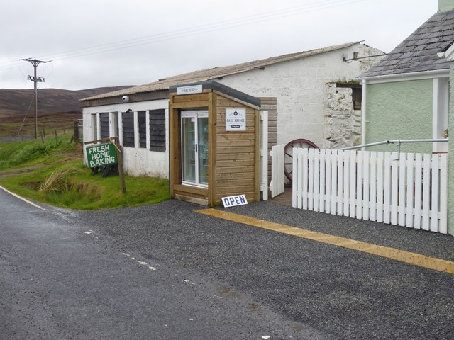
Despite its small size, Burrafirth offers some attractions for visitors. The nearby Eshaness cliffs are a popular spot, featuring dramatic rock formations and breathtaking views. The St. Magnus Bay Hotel, located a short distance away, provides accommodation and a cozy place to dine.

Access to Burrafirth is primarily by road, with public transportation available to and from the village. The closest town is Brae, which offers additional amenities such as shops, restaurants, and healthcare facilities.

In summary, Burrafirth is a charming coastal village in the East mainland of Shetland, offering a peaceful retreat and an opportunity to experience the raw beauty of the Shetland Islands.

If you have any feedback on the listing, please let us know in the comments section below.

Burrafirth, East Images

Images are sourced within 2km of 60.304778/-1.33779 or Grid Reference HU3658. Thanks to Geograph Open Source API. All images are credited.

Slyde, East Burrafirth House at the end of the road, above Aith Voe.
Slyde, East Burrafirth
House at the end of the road, above Aith Voe.
Sign at East Burrafirth Managing habitats for biodiversity, the sign proclaims.
Sign at East Burrafirth
Managing habitats for biodiversity, the sign proclaims.
The head of East Burra Firth
East-the-Voe, Aith Looking towards Muckle Roe.
East-the-Voe, Aith
Looking towards Muckle Roe.
The hoverfly Xylota segnis, East-the-voe, Aith Possibly a recent colonist, the larvae of this hoverfly feed in dead wood, and the species is now fairly widespread in areas with even just a few mature trees on Shetland Mainland.
The hoverfly Xylota segnis, East-the-voe, Aith
Possibly a recent colonist, the larvae of this hoverfly feed in dead wood, and the species is now fairly widespread in areas with even just a few mature trees on Shetland Mainland.
The hoverfly Eristalis pertinax, East-the-voe, Aith A common and widespread species in Shetland.
The hoverfly Eristalis pertinax, East-the-voe, Aith
A common and widespread species in Shetland.
A Polietes fly, East-the-Voe, Aith One of the houseflies (Muscidae).
A Polietes fly, East-the-Voe, Aith
One of the houseflies (Muscidae).
The hoverfly Rhingia campestris, East-the-voe, Aith A common species; covered in pollen and sitting on a Fuchsia flower.
The hoverfly Rhingia campestris, East-the-voe, Aith
A common species; covered in pollen and sitting on a Fuchsia flower.
East Burrafirth Burn of Burrafirth
East Burrafirth
Burn of Burrafirth
Crofts overlooking East Burra Firth With Aith Voe just visible in the distance.
Crofts overlooking East Burra Firth
With Aith Voe just visible in the distance.
Voehead Croft situated where the Burn of Burrafirth enters East Burra Firth.
Voehead
Croft situated where the Burn of Burrafirth enters East Burra Firth.
Cafe at East Burrafirth Tourist infrastructure is limited on Shetland.
We went miles to find this newly opened cafe.
Cafe at East Burrafirth
Tourist infrastructure is limited on Shetland. We went miles to find this newly opened cafe.
Plantation along the Burn of South Brigadale, East Burrafirth
Burn of South Brigadale, East Burrafirth
Voehead, East Burrafirth
East Burrafirth Chambered Cairn Well preserved small chambered cairn. <span class="nowrap"><a title="https://canmore.org.uk/site/722/east-burrafirth" rel="nofollow ugc noopener" href="https://canmore.org.uk/site/722/east-burrafirth">Link</a><img style="margin-left:2px;" alt="External link" title="External link - shift click to open in new window" src="https://s1.geograph.org.uk/img/external.png" width="10" height="10"/></span>
East Burrafirth Chambered Cairn
Well preserved small chambered cairn. LinkExternal link
East Burrafirth: view along the firth Looking along East Burra Firth, the inlet giving the hamlet its name, from the junction of the road that leads to the scattered dwellings along the north side of the firth. The house in the foreground, Voehead, is in the next square south, as is the majority of the water.
East Burrafirth: view along the firth
Looking along East Burra Firth, the inlet giving the hamlet its name, from the junction of the road that leads to the scattered dwellings along the north side of the firth. The house in the foreground, Voehead, is in the next square south, as is the majority of the water.
Loch of Lunklet brown trout A typical small trout from the Loch of Lunklet, perhaps more commonly known locally as the Scallafield Loch.
Loch of Lunklet brown trout
A typical small trout from the Loch of Lunklet, perhaps more commonly known locally as the Scallafield Loch.
Show me another place!

Burrafirth, East is located at Grid Ref: HU3658 (Lat: 60.304778, Lng: -1.33779)

Unitary Authority: Shetland Islands

Police Authority: Highlands and Islands

What 3 Words

///shrub.binders.reacting. Near Aith, Shetland Islands

Related Wikis

Mainland, Shetland

The Mainland is the main island of Shetland, Scotland. The island contains Shetland's only burgh, Lerwick, and is the centre of Shetland's ferry and air...

Aith Lifeboat Station

Aith Lifeboat Station is located at Aith, on the island of Shetland, and is the most northerly of the 238 Royal National Lifeboat Institution Lifeboat...

Braewick, Sandsting

Braewick is a settlement on the west Mainland of Shetland, Scotland. Braewick is on the western shore of Aith Voe and 1.2 mi (2 km) north of Aith itself...

Shetland

Shetland, also called the Shetland Islands, is an archipelago in Scotland lying between Orkney, the Faroe Islands, and Norway. It is the northernmost region...

Nearby Amenities

Located within 500m of 60.304778,-1.33779
Passing Place
Lat/Long: 60.3003313/-1.339165
Passing Place
Lat/Long: 60.3011113/-1.3371161
Passing Place
Lat/Long: 60.3022322/-1.336932
Leisure: picnic_table
Lat/Long: 60.3003977/-1.339404
Power: pole
Lat/Long: 60.3018327/-1.3434433
Power: pole
Lat/Long: 60.301898/-1.3420151
Power: pole
Lat/Long: 60.3019656/-1.3404754
Power: pole
Lat/Long: 60.3020096/-1.3395271
Power: pole
Lat/Long: 60.3020693/-1.338183
Power: pole
Lat/Long: 60.3026236/-1.3385014
Power: pole
Lat/Long: 60.3032005/-1.3388198
Power: pole
Lat/Long: 60.3037098/-1.3400775
Power: pole
Lat/Long: 60.3043046/-1.3403003
Power: pole
Lat/Long: 60.3050674/-1.3398591
Power: pole
Lat/Long: 60.3053637/-1.3396681
Power: pole
Lat/Long: 60.3060205/-1.3392656
Power: pole
Lat/Long: 60.3065826/-1.3389403
Power: pole
Lat/Long: 60.3072124/-1.3387857
Power: pole
Lat/Long: 60.3078162/-1.3386538
Power: pole
Lat/Long: 60.308438/-1.3385242
Power: pole
Lat/Long: 60.3090564/-1.3383786
Power: pole
Lat/Long: 60.3023668/-1.3375872
Power: pole
Lat/Long: 60.3054403/-1.3403344
Power: pole
Lat/Long: 60.3055664/-1.3415603
Power: pole
Lat/Long: 60.3056408/-1.3423585
Power: pole
Lat/Long: 60.3054267/-1.3432614
Power: pole
Lat/Long: 60.3050527/-1.3449989
Power: pole
Lat/Long: 60.3050245/-1.3463134
The data included in this document is from www.openstreetmap.org. The data is made available under ODbL.

Have you been to Burrafirth, East?

Leave your review of Burrafirth, East below (or comments, questions and feedback).