Dark Wood

Wood, Forest in Oxfordshire South Oxfordshire

England

Dark Wood

A4130 at Port Hill
A4130 at Port Hill Credit: Colin Pyle

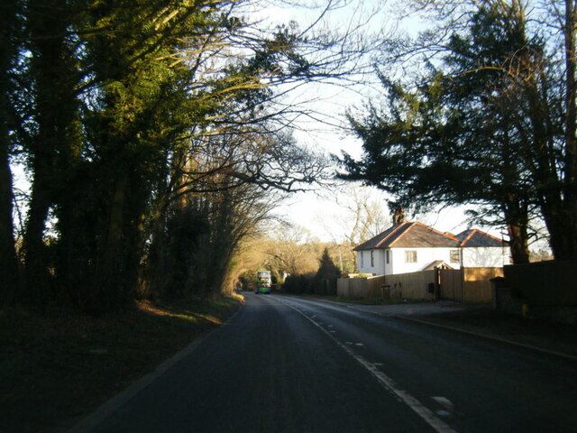
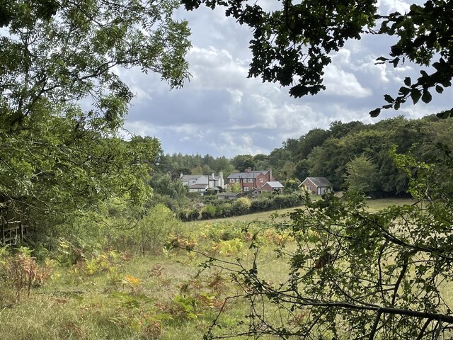
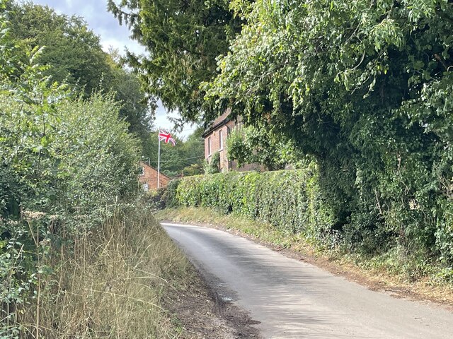
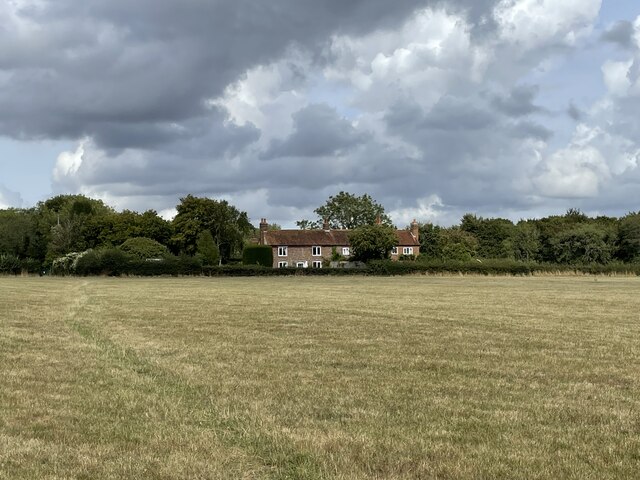
Dark Wood is a densely wooded area located in Oxfordshire, England. Covering an expansive area of approximately 500 hectares, it is renowned for its ancient and picturesque woodland. The forest is situated just south of the village of Wood and is easily accessible by foot or bicycle.

The woodland is primarily composed of deciduous trees, including oak, beech, and birch, which create a strikingly beautiful and diverse landscape. The dense canopy of foliage provides a natural habitat for an array of wildlife, including deer, foxes, and a variety of bird species. The forest floor is adorned with vibrant wildflowers, adding to the enchanting atmosphere of the wood.

Dark Wood is a popular destination for nature lovers and outdoor enthusiasts. Its extensive network of footpaths and trails allows visitors to explore the woodland and discover its hidden treasures. The paths wind through the trees, leading to secluded clearings, babbling brooks, and serene ponds, offering a tranquil escape from the hustle and bustle of everyday life.

Throughout the seasons, Dark Wood undergoes a breathtaking transformation. In spring, the forest awakens with a burst of vibrant green as the trees come to life and wildflowers bloom. Summer brings a lush canopy of leaves and the sound of birdsong fills the air. In autumn, the woodland is ablaze with a riot of red, orange, and gold as the trees shed their foliage. Winter transforms the wood into a magical wonderland, with frost-covered branches and a hushed stillness.

Dark Wood is a cherished natural treasure in Oxfordshire, providing a sanctuary for both wildlife and humans alike. Its beauty and tranquility make it a must-visit destination for anyone seeking to immerse themselves in the wonders of nature.

If you have any feedback on the listing, please let us know in the comments section below.
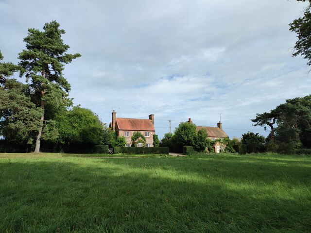
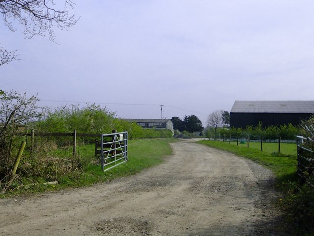
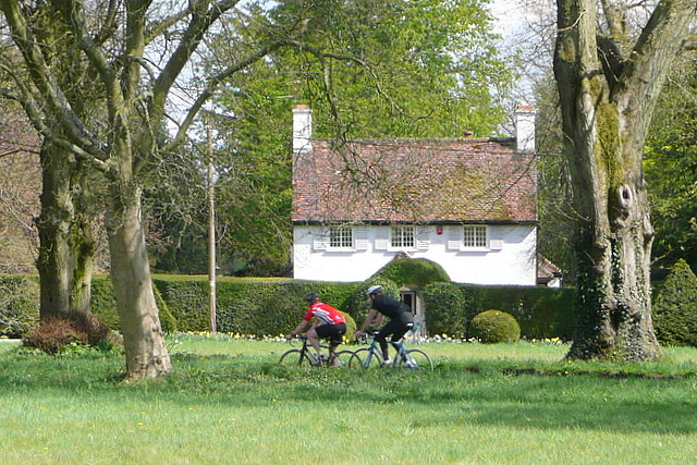
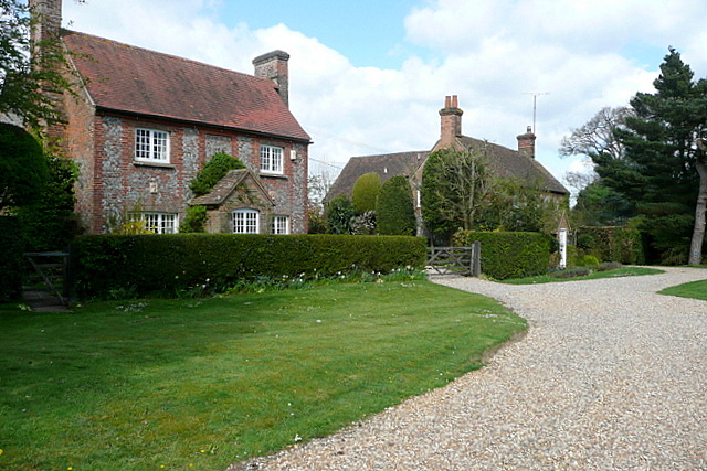
Dark Wood Images

Images are sourced within 2km of 51.58905/-0.99388375 or Grid Reference SU6988. Thanks to Geograph Open Source API. All images are credited.

A4130 at Port Hill
A4130 at Port Hill
Ploughed field near Cookley Green
Cottages on the edge of Nettlebed Common This group of cottages sit facing the northern edge of Nettlebed Common but within the parish of Swyncombe.
Cottages on the edge of Nettlebed Common
This group of cottages sit facing the northern edge of Nettlebed Common but within the parish of Swyncombe.
Digberry Farm, Huntercombe Lane The farm sits within a large square earthwork of unknown age measuring 200 metres across.
Digberry Farm, Huntercombe Lane
The farm sits within a large square earthwork of unknown age measuring 200 metres across.
Cottages at Park Corner Looking north along the footpath from Huntercombe End.
Cottages at Park Corner
Looking north along the footpath from Huntercombe End.
Frosty House at Cookley Green A light dusting of snow this morning brought out the usual crop of wintery scenes.
This house is facing onto the village green.
Frosty House at Cookley Green
A light dusting of snow this morning brought out the usual crop of wintery scenes. This house is facing onto the village green.
War Memorial, Cookley Green
Cottages at Cookley Green
Road junction and grass island Looking along the B481.
Road junction and grass island
Looking along the B481.
The entrance to Cookley Farm At a height of about 220m, this is fairly high up, by the standards of southern England.

Whether any land here is down to arable, I can't say - but there were ewes and lambs in the field just to the right of the gateway.
The entrance to Cookley Farm
At a height of about 220m, this is fairly high up, by the standards of southern England. Whether any land here is down to arable, I can't say - but there were ewes and lambs in the field just to the right of the gateway.
Swyncombe Cricket Club pavilion It's good to see the ground and pavilion are still in good shape. I've not seen it since Bix used to play here in the 1970's and 80's. The ground used to be on Cookley Green itself, beside the B481, but when the club started 100 years ago the traffic was lighter!
Swyncombe Cricket Club pavilion
It's good to see the ground and pavilion are still in good shape. I've not seen it since Bix used to play here in the 1970's and 80's. The ground used to be on Cookley Green itself, beside the B481, but when the club started 100 years ago the traffic was lighter!
B451 passes across Cookley Green The green used to be used for cricket matches but moved to a new site a few hundred yards to the west. However, tea was still taken in a hall, situated at the left edge of this picture.
B451 passes across Cookley Green
The green used to be used for cricket matches but moved to a new site a few hundred yards to the west. However, tea was still taken in a hall, situated at the left edge of this picture.
Un-named lane to Russell's Water
War Memorial at Cookley Green
The Green, Cookley Green This is the area of green space that gives the village its name.  It is crossed by Shakespeare's Way.  This jubilee seat is, I think, from the Queen's golden jubilee in 2002 not her diamond one in 2012.
The Green, Cookley Green
This is the area of green space that gives the village its name. It is crossed by Shakespeare's Way. This jubilee seat is, I think, from the Queen's golden jubilee in 2002 not her diamond one in 2012.
Across the green There is a road between me and the house on the far side of the green, as these cyclists show.  I'm on Shakespeare's Way.
Across the green
There is a road between me and the house on the far side of the green, as these cyclists show. I'm on Shakespeare's Way.
Houses at Cookley Green Some of the attractive houses around the green, passed by Shakespeare's Way.
Houses at Cookley Green
Some of the attractive houses around the green, passed by Shakespeare's Way.
Across the green Some of the attractive houses surrounding the green that gives Cookley Green its name.  Shakespeare's Way passes through.
Across the green
Some of the attractive houses surrounding the green that gives Cookley Green its name. Shakespeare's Way passes through.
Show me another place!

Dark Wood is located at Grid Ref: SU6988 (Lat: 51.58905, Lng: -0.99388375)

Administrative County: Oxfordshire

District: South Oxfordshire

Police Authority: Thames Valley

What 3 Words

///envisage.towels.barbarian. Near Watlington, Oxfordshire

Related Wikis

Berrick Trench

Berrick Trench is a 2.1-hectare (5.2-acre) biological Site of Special Scientific Interest north of Nettlebed in Oxfordshire.This is an ancient semi-natural...

Nettlebed

Nettlebed is a village and civil parish in Oxfordshire in the Chiltern Hills about 4+1⁄2 miles (7 km) northwest of Henley-on-Thames and 6 miles (10 km...

Crocker End House

Crocker End House in Nettlebed in Henley-on-Thames, Oxfordshire, England is a spacious Victorian home built to replace Nettlebed's prosperous rectory in...

HM Prison Huntercombe

HM Prison Huntercombe is a Category C men's prison, located near Nuffield in Oxfordshire, England. It is operated by His Majesty's Prison Service. ��2...

Russell's Water

Russell's Water is a hamlet about 6 miles (9.7 km) north of Henley-on-Thames in South Oxfordshire. It is in the Chiltern Hills about 620 feet (190 m)...

Bix Bottom

Bix Bottom is a 102.3-hectare (253-acre) biological Site of Special Scientific Interest north-west of Henley-on-Thames in Oxfordshire. It is owned and...

Nuffield Place

Nuffield Place is a country house near the village of Nuffield in the Chiltern Hills in South Oxfordshire, England, just over 4 miles (6 km) east of Wallingford...

Swyncombe

Swyncombe is a hamlet and large civil parish in the high Chilterns, within the Area of Outstanding Natural Beauty about 4+1⁄2 miles (7 km) east of Wallingford...

Nearby Amenities

Located within 500m of 51.58905,-0.99388375
Created By: osmeditor2
Lat/Long: 51.5865133/-0.9989067
Created By: osmeditor2
Lat/Long: 51.58565/-0.9982167
Barrier: kissing_gate
Foot: yes
Lat/Long: 51.5851942/-0.9920831
Barrier: kissing_gate
Foot: yes
Lat/Long: 51.5872206/-0.9943638
Barrier: kissing_gate
Foot: yes
Lat/Long: 51.5899878/-0.9959193
Barrier: kissing_gate
Foot: yes
Lat/Long: 51.5911391/-0.9971166
Barrier: stile
Foot: yes
Material: wood
Stile: stepover
Lat/Long: 51.5908076/-1.0003718
Maxspeed: 30 mph
Traffic Sign: maxspeed
Lat/Long: 51.587242/-0.999603
The data included in this document is from www.openstreetmap.org. The data is made available under ODbL.

Have you been to Dark Wood?

Leave your review of Dark Wood below (or comments, questions and feedback).