Bellevue Spinney
Wood, Forest in Nottinghamshire Rushcliffe
England
Bellevue Spinney

Bellevue Spinney is a picturesque woodland area located in Nottinghamshire, England. Situated within the larger area of Wood, Forest, this natural gem offers a serene and tranquil escape from the hustle and bustle of urban life.
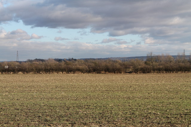
Covering a substantial area, Bellevue Spinney is characterized by its dense canopy of trees, which create a shaded and cool environment, particularly during the summer months. The woodland is predominantly made up of deciduous trees such as oak, beech, and birch, providing a diverse and vibrant landscape throughout the changing seasons.
Visitors to Bellevue Spinney can expect to encounter a rich variety of flora and fauna. The forest floor is adorned with a carpet of wildflowers, including bluebells and primroses, which bloom in the spring. The woodland is also home to an array of wildlife, including squirrels, deer, and a multitude of bird species, making it an ideal spot for nature enthusiasts and birdwatchers.
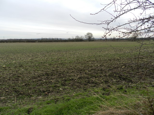
Tranquil walking trails wind their way through Bellevue Spinney, offering visitors the opportunity to explore the woodland at their own pace. The paths are well-maintained and signposted, ensuring easy navigation for all visitors. Additionally, there are designated picnic areas and benches scattered throughout the woodland, providing the perfect spot to relax and enjoy the natural surroundings.
Bellevue Spinney is a true haven for nature lovers, offering a peaceful and rejuvenating experience in the heart of Nottinghamshire's Wood, Forest area. Whether it's a leisurely stroll, a picnic with loved ones, or simply immersing oneself in the tranquility of nature, Bellevue Spinney is a must-visit destination for those seeking solace amidst the beauty of the outdoors.
If you have any feedback on the listing, please let us know in the comments section below.
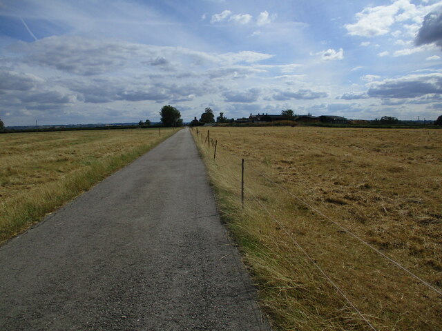
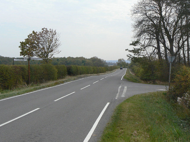
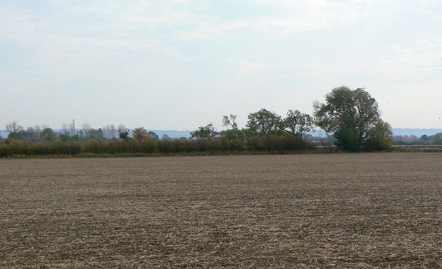
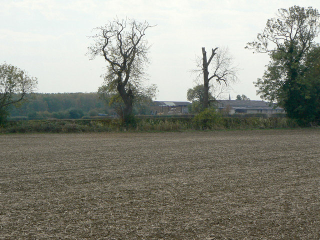
Bellevue Spinney Images
Images are sourced within 2km of 52.899992/-0.96608309 or Grid Reference SK6934. Thanks to Geograph Open Source API. All images are credited.


Bellevue Spinney is located at Grid Ref: SK6934 (Lat: 52.899992, Lng: -0.96608309)
Administrative County: Nottinghamshire
District: Rushcliffe
Police Authority: Nottinghamshire
What 3 Words
///goodnight.gliding.ushering. Near Cropwell Bishop, Nottinghamshire
Nearby Locations
Related Wikis
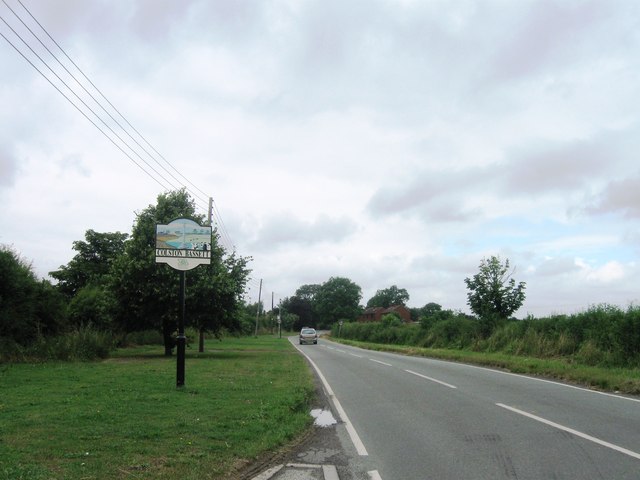
Colston Bassett
Colston Bassett is an English village in the Vale of Belvoir, in the Rushcliffe district of south-east Nottinghamshire, close to its border with Leicestershire...
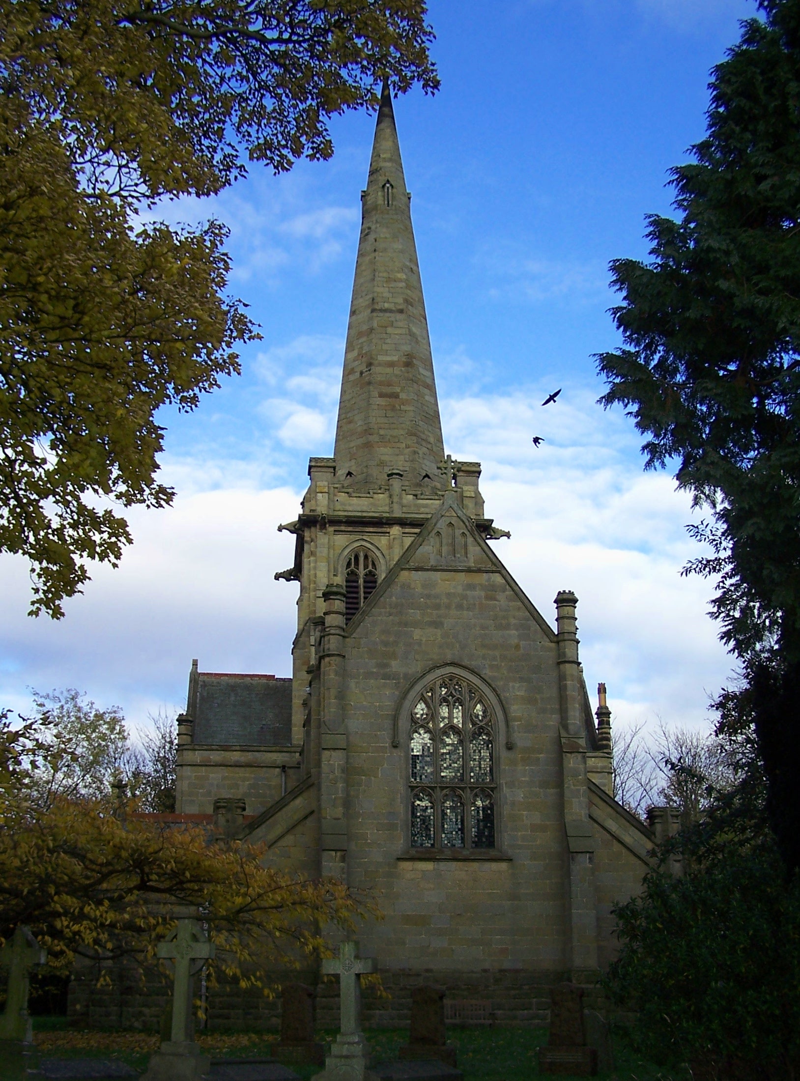
St John's Church, Colston Bassett
St John's Church, Colston Bassett is an English parish church of the Church of England in Colston Bassett, Nottinghamshire. It is Grade II listed by the...

St Giles's Church, Cropwell Bishop
St Giles' Church, Cropwell Bishop, is a Church of England parish church in the village of Cropwell Bishop, Nottinghamshire, England. The building is Grade...

Cropwell Bishop
Cropwell Bishop is a village and civil parish in the borough of Rushcliffe in Nottinghamshire. The population taken at the 2011 Census was 1,853. The village...

Tithby
Tithby (sometimes spelt "Tythby", locally pronounced "Tidby") is an English village in the Rushcliffe borough of Nottinghamshire, about 2.6 miles (4.2...
Scunthorpe Mudstone
The Scunthorpe Mudstone is a geologic formation in England. It preserves plesiosaur fossils dating back to the Late Triassic (Rhaetian) to Early Jurassic...

Langar Hall
Langar Hall is a Grade II listed house, now a hotel, next to the church in Langar, Nottinghamshire.The current building dates back to the 18th century...

St Margaret's Church, Owthorpe
St Margaret's Church, Owthorpe is a Grade II* listed parish church in the Church of England in Owthorpe, Nottinghamshire, England. Owthorpe has an unusual...
Nearby Amenities
Located within 500m of 52.899992,-0.96608309Have you been to Bellevue Spinney?
Leave your review of Bellevue Spinney below (or comments, questions and feedback).