Blanche's Gorse
Wood, Forest in Nottinghamshire Rushcliffe
England
Blanche's Gorse
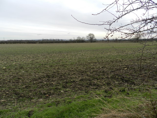
Blanche's Gorse is a stunning woodland area located in the county of Nottinghamshire, England. Situated near the towns of Sherwood and Ollerton, it covers an extensive area of natural beauty, filled with lush greenery, diverse wildlife, and breathtaking scenery.
The woodland is predominantly made up of native broadleaf trees, such as oak, birch, and beech, creating a rich and diverse habitat for a wide range of flora and fauna. The forest floor is adorned with an array of wildflowers, including bluebells, primroses, and wood anemones, adding a burst of color to the landscape during the spring and summer months.
Blanche's Gorse is a haven for wildlife enthusiasts, offering opportunities to spot various species of birds, mammals, and insects. Birdwatchers may be lucky enough to catch a glimpse of woodpeckers, jays, and tawny owls, while red and roe deer can often be spotted roaming through the woodland. The presence of badgers, foxes, and squirrels also adds to the natural charm of the area.
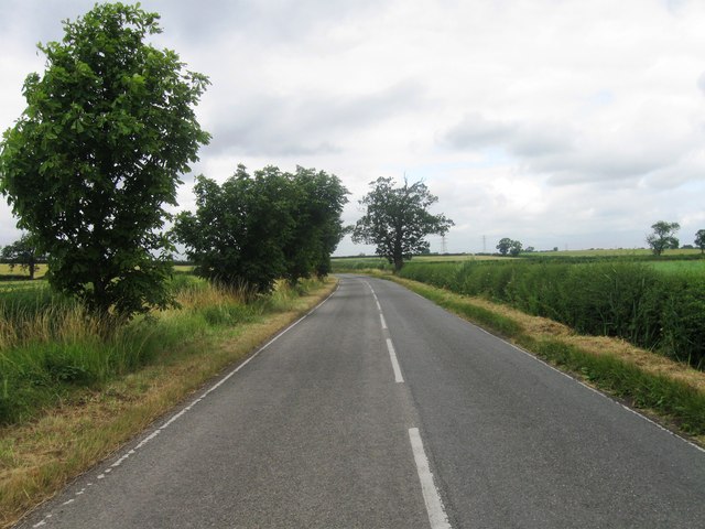
Visitors to Blanche's Gorse can explore the woodland through a network of well-maintained footpaths and trails, enabling them to immerse themselves in the tranquil surroundings and enjoy the peace and serenity that nature provides. The forest is also a popular destination for outdoor activities such as hiking, picnicking, and photography, attracting both locals and tourists alike.
Blanche's Gorse is not only a place of natural beauty but also holds historical significance. It is said to have been named after Blanche Mortimer, a medieval noblewoman who once owned the land. This historical connection adds an extra layer of intrigue and allure to the woodland, making it a truly captivating destination for nature lovers and history enthusiasts alike.
If you have any feedback on the listing, please let us know in the comments section below.
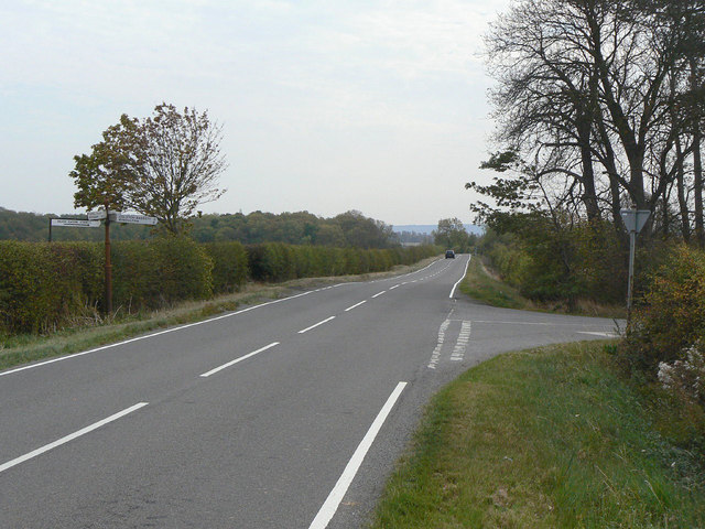
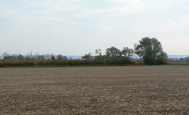
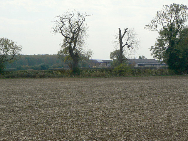
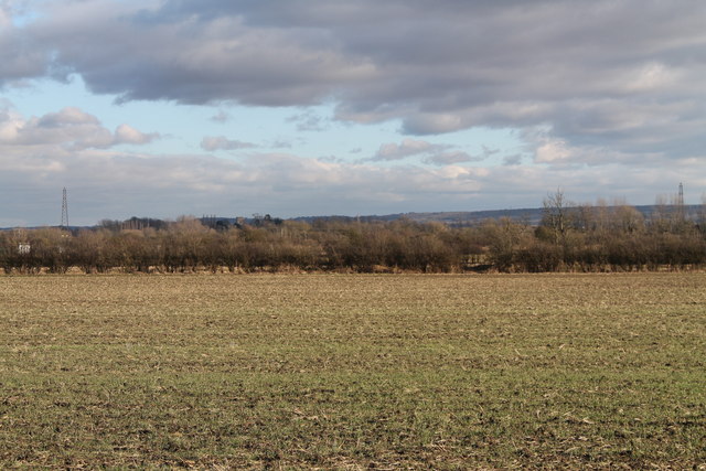
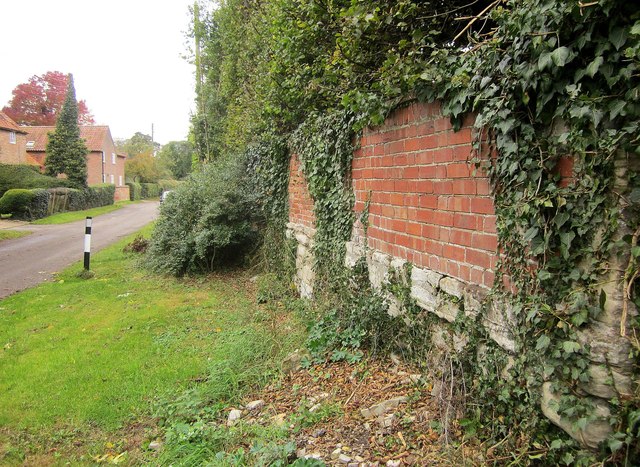
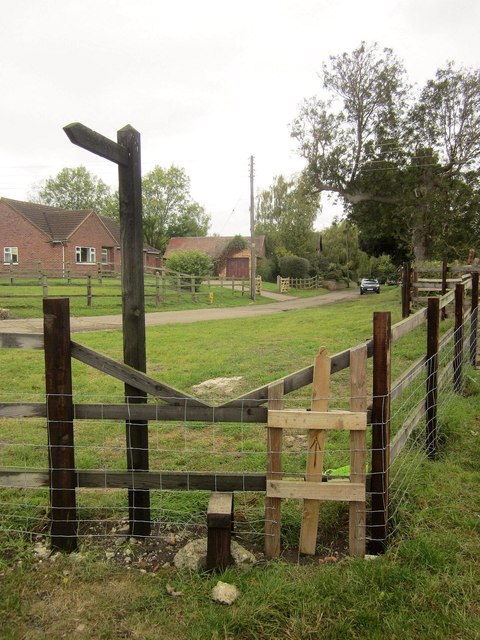
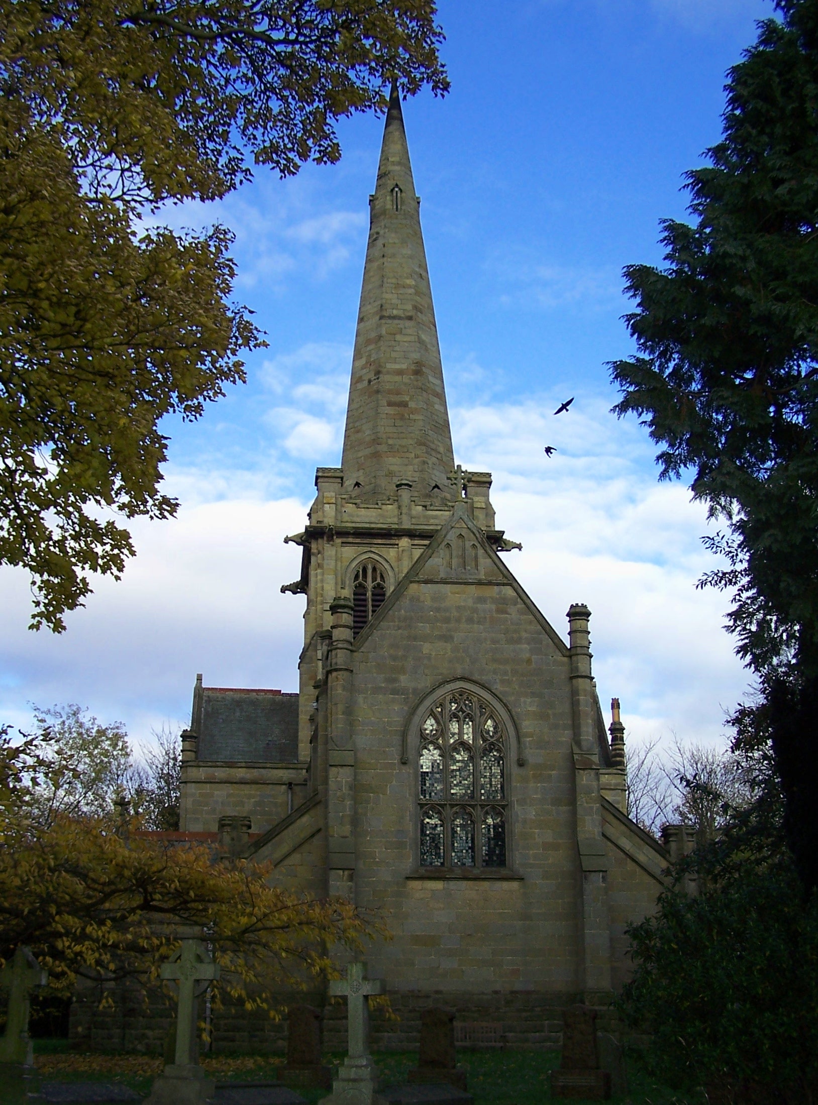
Blanche's Gorse Images
Images are sourced within 2km of 52.900135/-0.97114926 or Grid Reference SK6934. Thanks to Geograph Open Source API. All images are credited.


Blanche's Gorse is located at Grid Ref: SK6934 (Lat: 52.900135, Lng: -0.97114926)
Administrative County: Nottinghamshire
District: Rushcliffe
Police Authority: Nottinghamshire
What 3 Words
///coughed.wisely.digests. Near Cropwell Bishop, Nottinghamshire
Nearby Locations
Related Wikis
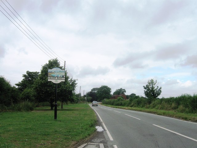
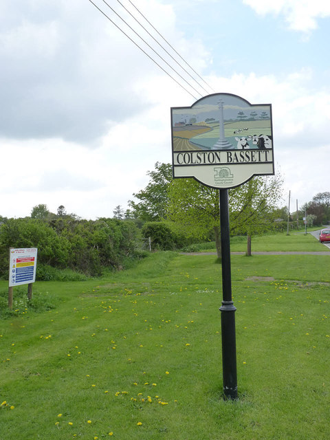
Colston Bassett
Colston Bassett is an English village in the Vale of Belvoir, in the Rushcliffe district of south-east Nottinghamshire, close to its border with Leicestershire...
St John's Church, Colston Bassett
St John's Church, Colston Bassett is an English parish church of the Church of England in Colston Bassett, Nottinghamshire. It is Grade II listed by the...

St Giles's Church, Cropwell Bishop
St Giles' Church, Cropwell Bishop, is a Church of England parish church in the village of Cropwell Bishop, Nottinghamshire, England. The building is Grade...

Cropwell Bishop
Cropwell Bishop is a village and civil parish in the borough of Rushcliffe in Nottinghamshire. The population taken at the 2011 Census was 1,853. The village...
Scunthorpe Mudstone
The Scunthorpe Mudstone is a geologic formation in England. It preserves plesiosaur fossils dating back to the Late Triassic (Rhaetian) to Early Jurassic...

St Margaret's Church, Owthorpe
St Margaret's Church, Owthorpe is a Grade II* listed parish church in the Church of England in Owthorpe, Nottinghamshire, England. Owthorpe has an unusual...

Tithby
Tithby (sometimes spelt "Tythby", locally pronounced "Tidby") is an English village in the Rushcliffe borough of Nottinghamshire, about 2.6 miles (4.2...
Owthorpe
Owthorpe is a small English village and civil parish in the Wolds of the East Midland county of Nottinghamshire. The population of about 90 was included...
Nearby Amenities
Located within 500m of 52.900135,-0.97114926Have you been to Blanche's Gorse?
Leave your review of Blanche's Gorse below (or comments, questions and feedback).