East Barnet
Settlement in Hertfordshire
England
East Barnet

East Barnet is a suburban area located in the London Borough of Barnet, in the county of Hertfordshire, England. Situated approximately 10 miles north of central London, it falls within the historic county boundaries of Middlesex.
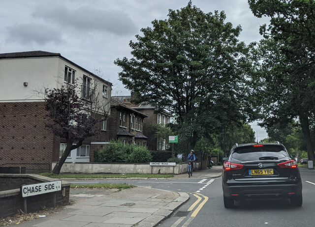
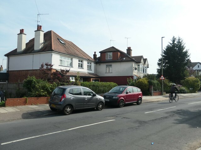
The area is predominantly residential, with a mix of housing styles ranging from Victorian and Edwardian terraces to more modern developments. East Barnet benefits from its proximity to green spaces, including Oak Hill Park and Trent Country Park, which provide opportunities for outdoor activities and recreation.
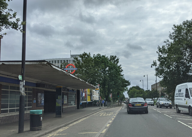
East Barnet is well-connected to other parts of London and Hertfordshire, with easy access to major road networks such as the M25 and A1. Public transportation options include East Barnet railway station, which offers regular services to central London and other destinations. Several bus routes also serve the area, connecting it to nearby towns and neighborhoods.
The local amenities in East Barnet include a range of shops, supermarkets, and restaurants, catering to the needs of residents. The area is also home to several schools, making it an attractive location for families.
Historically, East Barnet was an important coaching stop on the Great North Road, and some remnants of its past can still be seen in the form of old coaching inns and buildings. Today, East Barnet maintains its charm as a peaceful and leafy suburb, offering a balance between urban convenience and a tranquil environment.
If you have any feedback on the listing, please let us know in the comments section below.
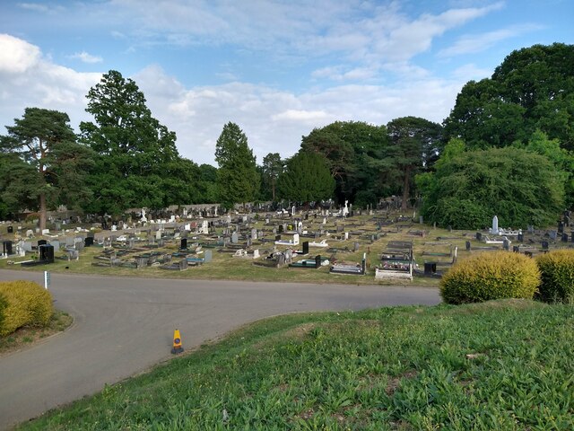
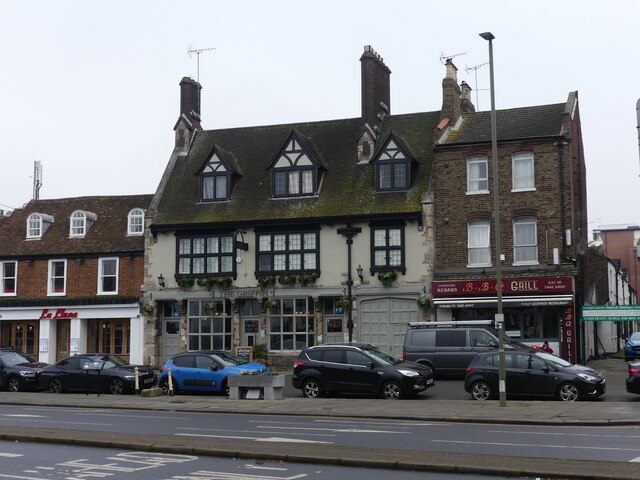
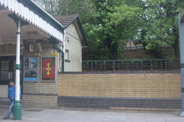
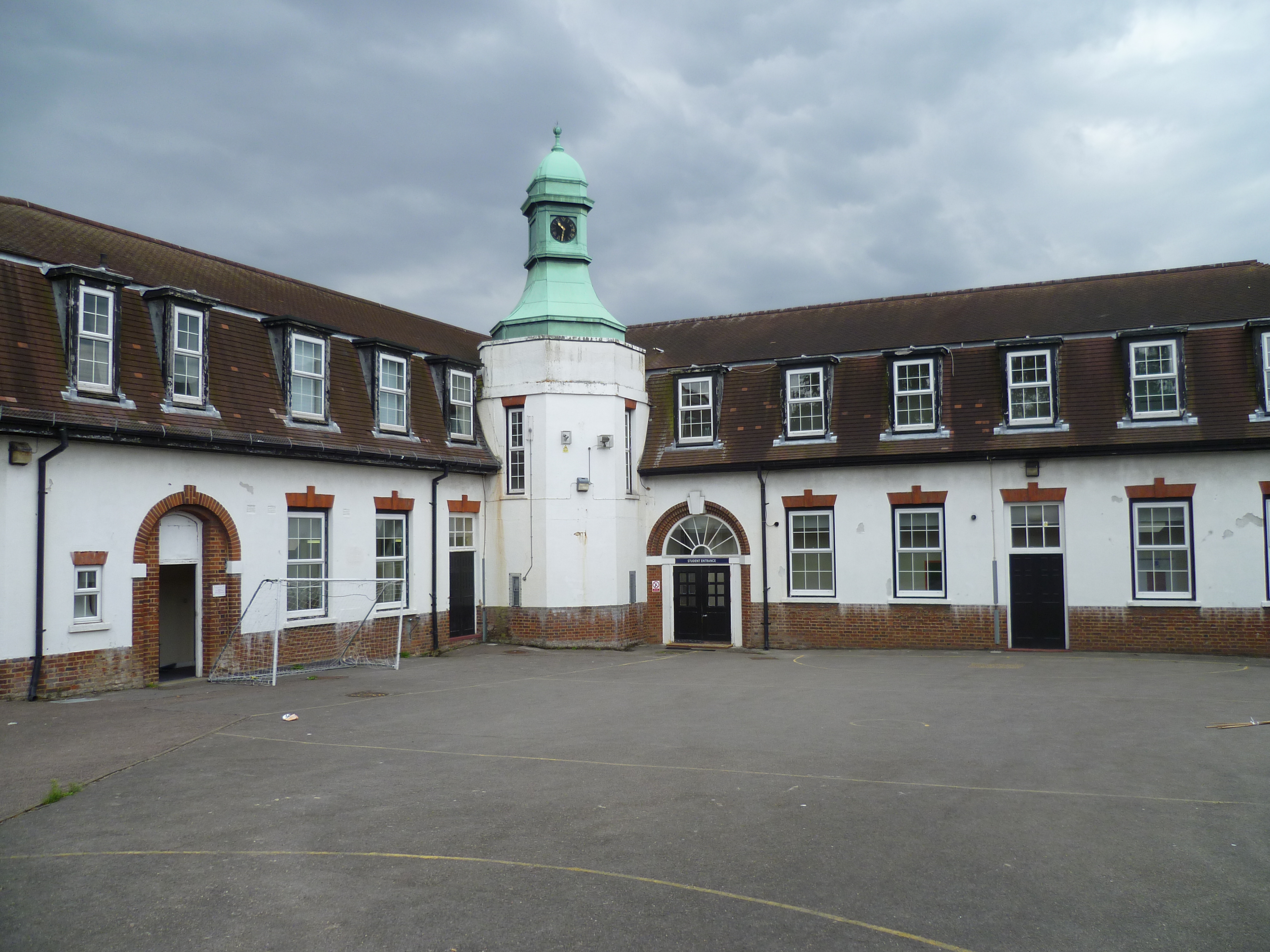
East Barnet Images
Images are sourced within 2km of 51.638434/-0.160376 or Grid Reference TQ2794. Thanks to Geograph Open Source API. All images are credited.


East Barnet is located at Grid Ref: TQ2794 (Lat: 51.638434, Lng: -0.160376)
Unitary Authority: Barnet
Police Authority: Metropolitan
What 3 Words
///note.tamed.rated. Near Barnet, London
Nearby Locations
Related Wikis

Oak Hill Park (Barnet)
Oak Hill Park is in East Barnet in the London Borough of Barnet. It is one of Barnet's premier parks and received a Green Flag Award for 2009–10. It is...

Pymmes Brook
Pymmes Brook is located in North London and named after William Pymme, a local land owner. It is a minor tributary of the River Lea. The brook mostly...

Oakleigh Park railway station
Oakleigh Park railway station serves Oakleigh Park in the London Borough of Barnet, north London, England. It is 8 miles 30 chains (13.5 km) down the line...

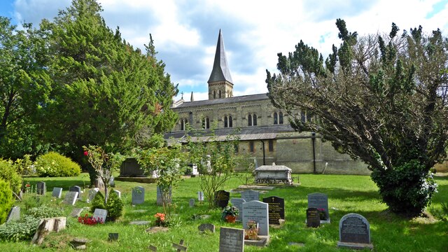
St Mary the Virgin, East Barnet
St Mary the Virgin is the Church of England parish church for East Barnet within the Diocese of St Albans. It is located on Church Hill. == History... ==
Church Farm Industrial School for Boys
The Church Farm Industrial School for Boys was an industrial school in East Barnet. It was founded by Crimean War veteran and Pre-Raphaelite Brotherhood...
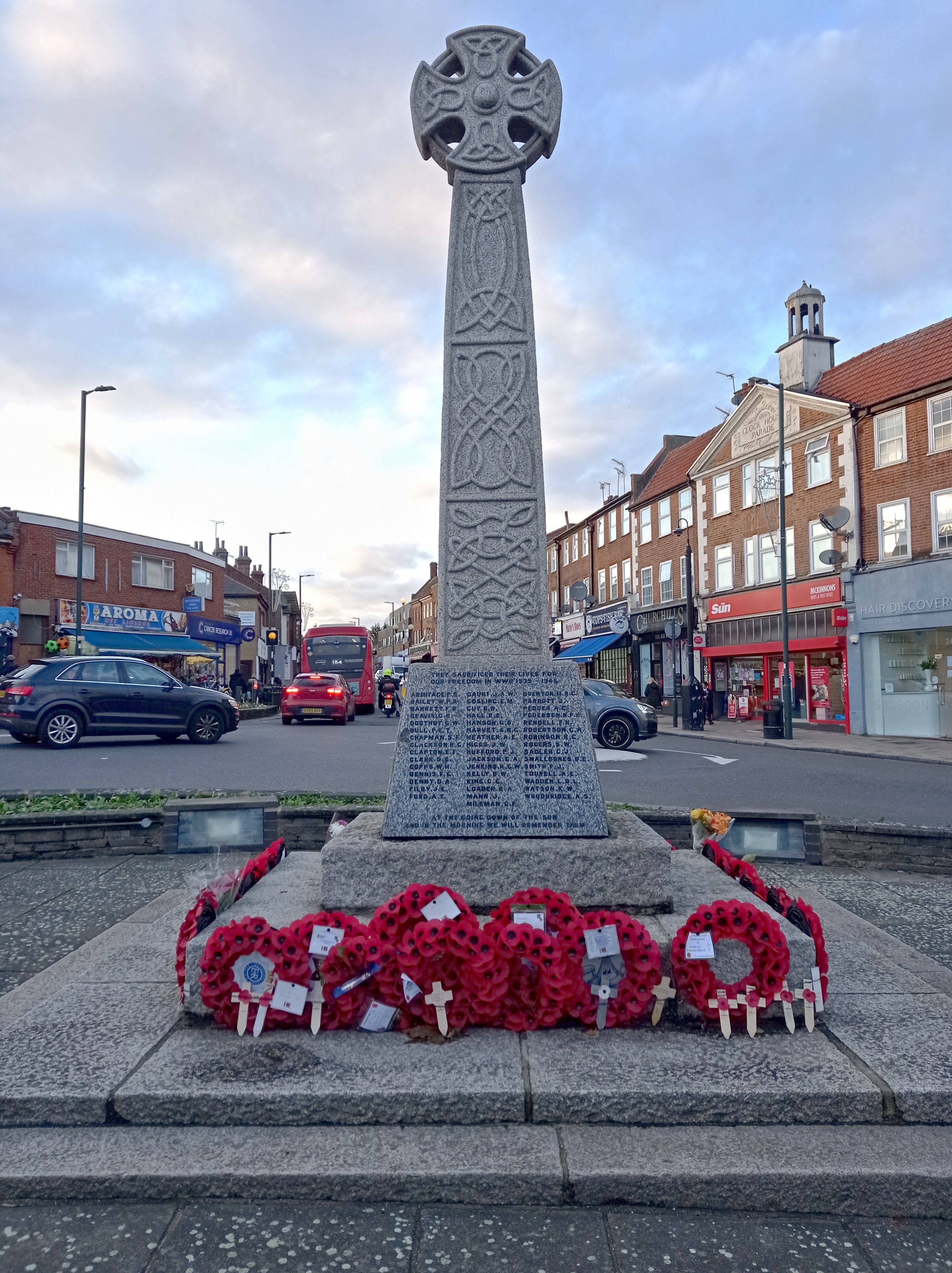
East Barnet War Memorial
East Barnet War Memorial is a memorial to the dead of the First and Second World Wars from East Barnet, London. It was unveiled on 27 June 1920 and originally...

East Barnet Urban District
East Barnet Valley was a local government district from 1863 to 1965 around the town of East Barnet. It was partly in the counties of Hertfordshire and...

East Barnet
East Barnet is an area of north London within the London Borough of Barnet bordered by New Barnet, Cockfosters and Southgate. It is a largely residential...
Nearby Amenities
Located within 500m of 51.638434,-0.160376Have you been to East Barnet?
Leave your review of East Barnet below (or comments, questions and feedback).