East Barming
Settlement in Kent Maidstone
England
East Barming
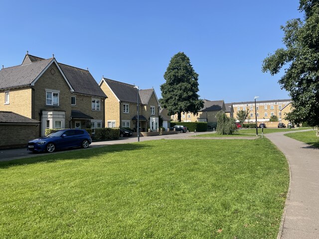
East Barming is a small village located in the county of Kent, in southeastern England. Situated near the larger town of Maidstone, it is nestled within the picturesque countryside of the Garden of England. The village is part of the civil parish of Barming, and its population is estimated to be around 2,000 residents.
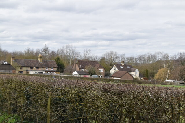
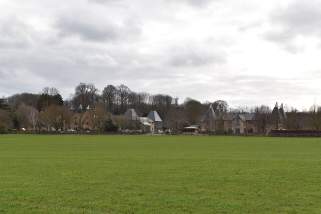
East Barming is known for its charming and idyllic setting, with its quaint cottages and historic buildings adding to its character. The village is surrounded by fields and farmland, providing beautiful views and a peaceful atmosphere. Additionally, the River Medway flows nearby, offering scenic walks and recreational activities for residents and visitors.
Despite its rural setting, East Barming benefits from its proximity to Maidstone, which provides various amenities and services. The town offers a range of shops, supermarkets, restaurants, and leisure facilities, ensuring that residents have access to all their daily needs.
In terms of transportation, East Barming is conveniently located close to major road networks, including the M20 motorway, providing easy access to London and other destinations. Maidstone East railway station is also within reach, offering regular train services to London and other towns in Kent.
The village has a strong sense of community, with various local organizations and clubs that cater to different interests. These include sports clubs, community centers, and social groups, providing opportunities for residents to engage in activities and connect with fellow villagers.
In summary, East Barming is a tranquil and picturesque village in Kent, offering a peaceful countryside lifestyle while benefiting from its proximity to the nearby town of Maidstone.
If you have any feedback on the listing, please let us know in the comments section below.
East Barming Images
Images are sourced within 2km of 51.262742/0.468481 or Grid Reference TQ7254. Thanks to Geograph Open Source API. All images are credited.


East Barming is located at Grid Ref: TQ7254 (Lat: 51.262742, Lng: 0.468481)
Administrative County: Kent
District: Maidstone
Police Authority: Kent
What 3 Words
///woes.guess.offer. Near Wateringbury, Kent
Nearby Locations
Related Wikis
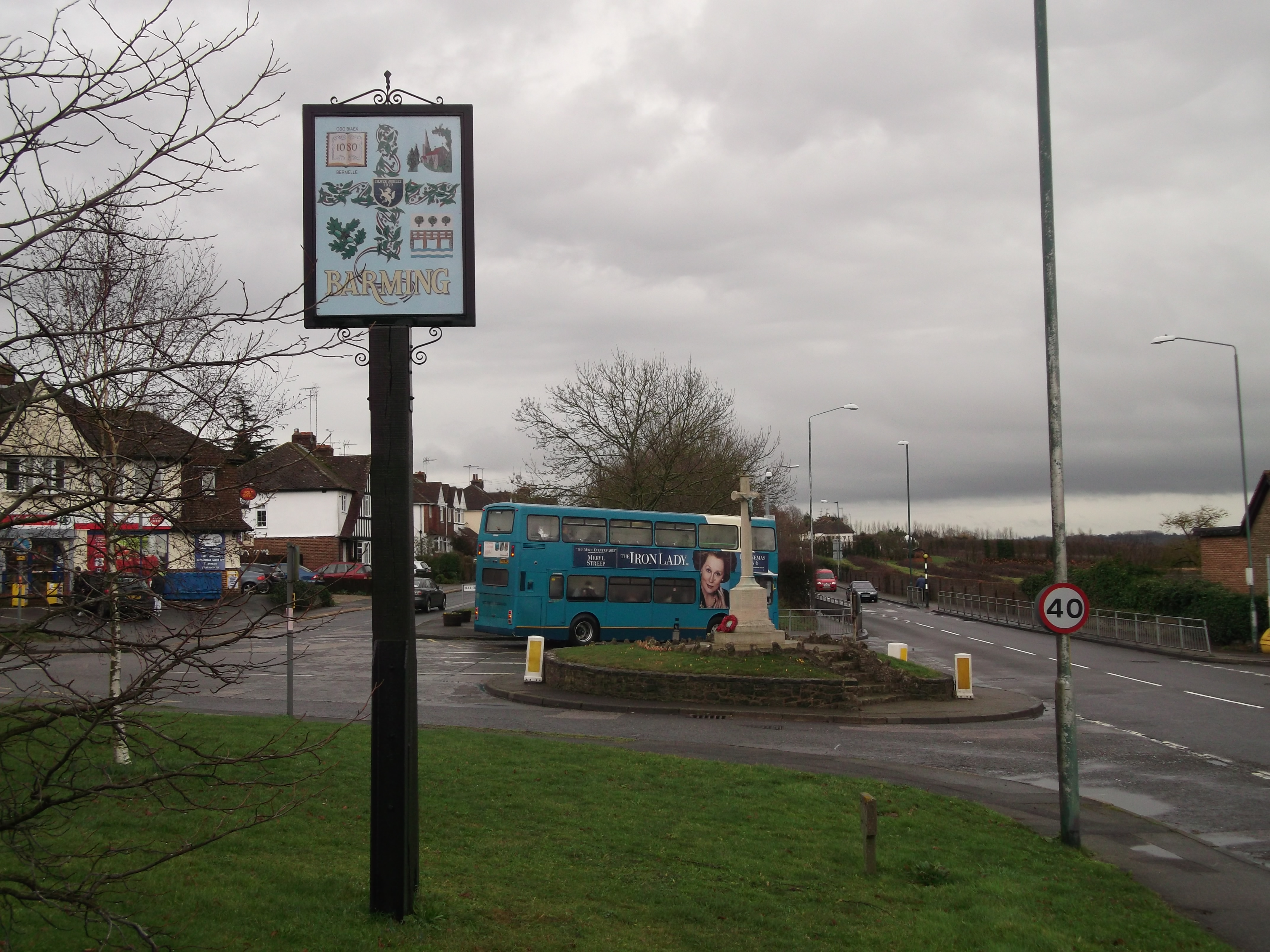
Barming
Barming is a civil parish in the Maidstone District of Kent, England. It lies to the west of Maidstone and at the 2011 census had a population of 2,690...

Barming Heath
Barming Heath is an area of north-western Maidstone in Kent, England. Its parish church is dedicated to St Andrew. == See also == Barming East Barming...

All Saints Church, West Farleigh
All Saints is a parish church in West Farleigh, Kent. It was begun in the 11th century and is a Grade I listed building. == Building == The church was...

Oakwood Hospital
Oakwood Hospital in Barming Heath near Maidstone, England was a psychiatric hospital founded in 1833 as the Kent County Lunatic Asylum. Following transfer...
East Barming
East Barming is a village in the civil parish of Barming in the Maidstone District of Kent, England. The village is located on the A26 road out of Maidstone...

East Farleigh railway station
East Farleigh railway station is on the Medway Valley Line in Kent, England, located to the south-west of Maidstone and close to the village of East Farleigh...

East Farleigh Bridge
East Farleigh Bridge is a road bridge across the River Medway in East Farleigh, Kent, England. The bridge is medieval and was probably constructed in the...

Maidstone Hospital
Maidstone Hospital is a hospital in Barming, Maidstone, England. It is managed by the Maidstone and Tunbridge Wells NHS Trust. == History == The hospital...
Nearby Amenities
Located within 500m of 51.262742,0.468481Have you been to East Barming?
Leave your review of East Barming below (or comments, questions and feedback).